Tour data
28.06km
-
-
07:00h

- Brief description
-
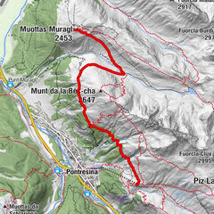
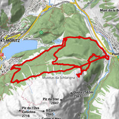
Piz Nair - Jenatsch Hütte - Bever
- Difficulty
-
difficult
- Rating
-
- Best season
-
JanFebMarAprMayJunJulAugSepOctNovDec

- Source
- Engadin St. Moritz
GPS Downloads


Other tours in the regions
-
Engadin St. Moritz
782
-
St. Moritz
350