- Brief description
-
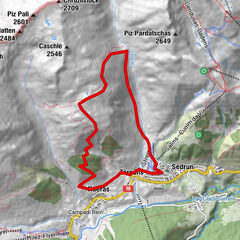
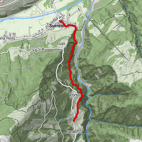
Pleasure hike along an old path towards Tenigerbad to Val, with a stop at the cozy Ustria Val. T1
- Difficulty
-
easy
- Rating
-
- Route
-
Surrein0.0 kmBaselgia Sogn Placi0.0 kmVal2.3 kmUstria Val Sumvitg2.3 kmSurrein4.7 kmBaselgia Sogn Placi4.7 km
- Best season
-
JanFebMarAprMayJunJulAugSepOctNovDec
- Description
-
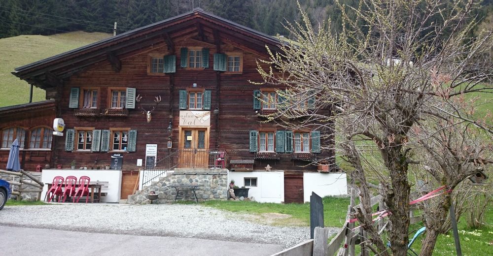
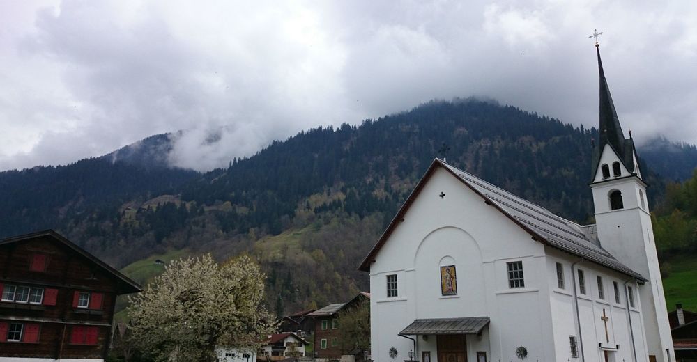
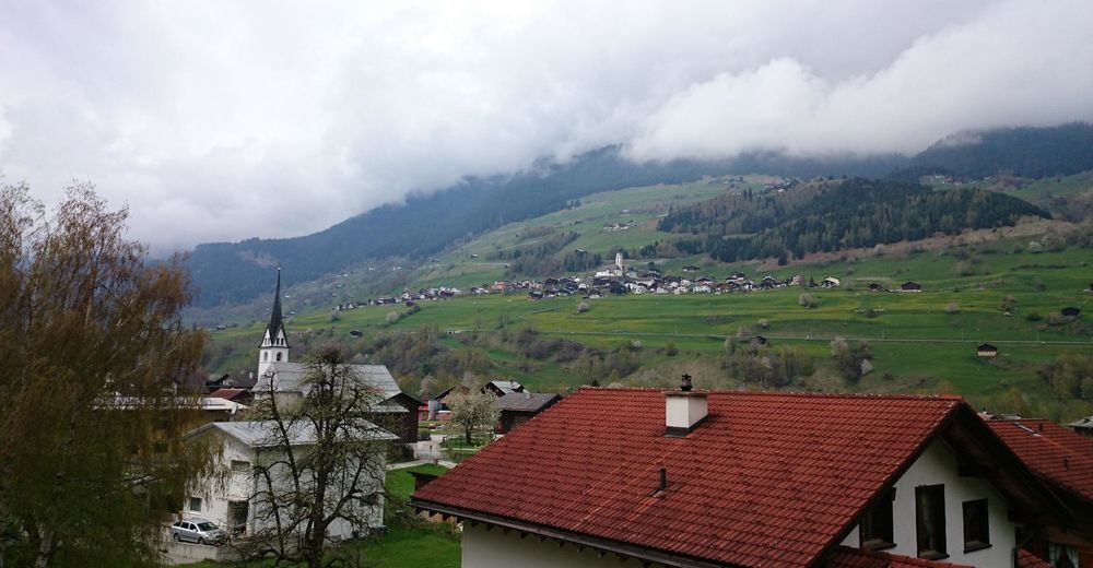
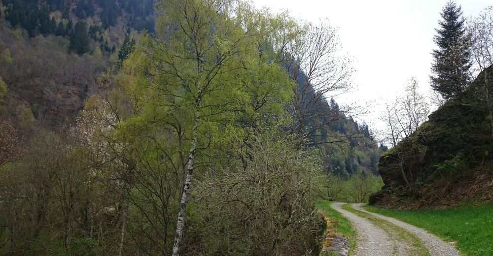
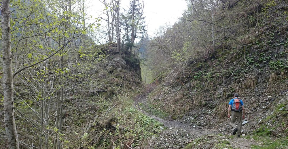
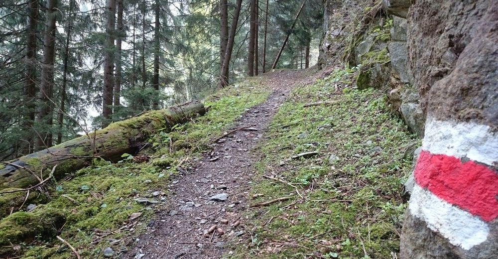
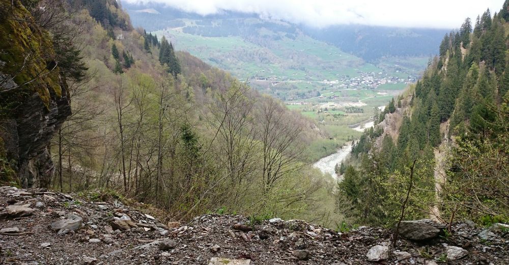
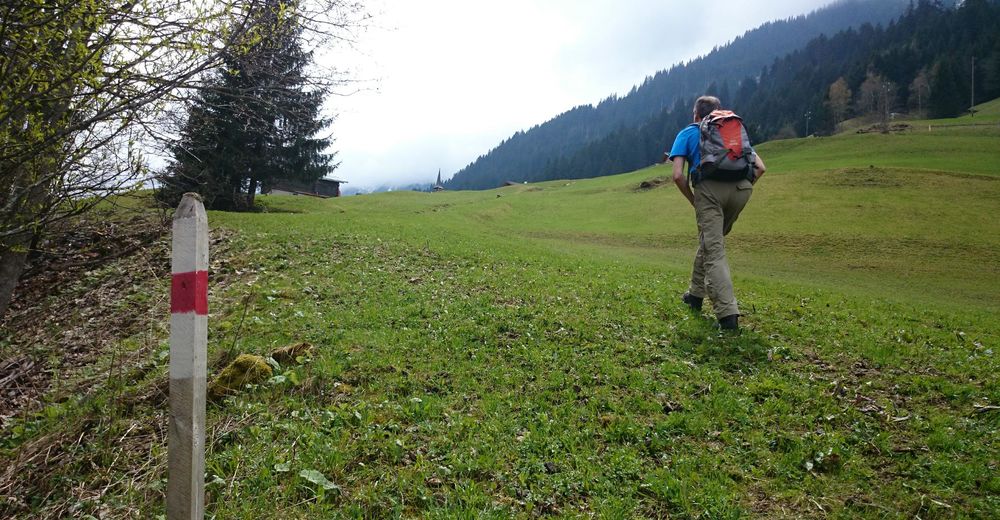
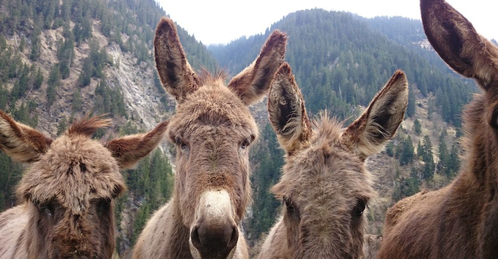
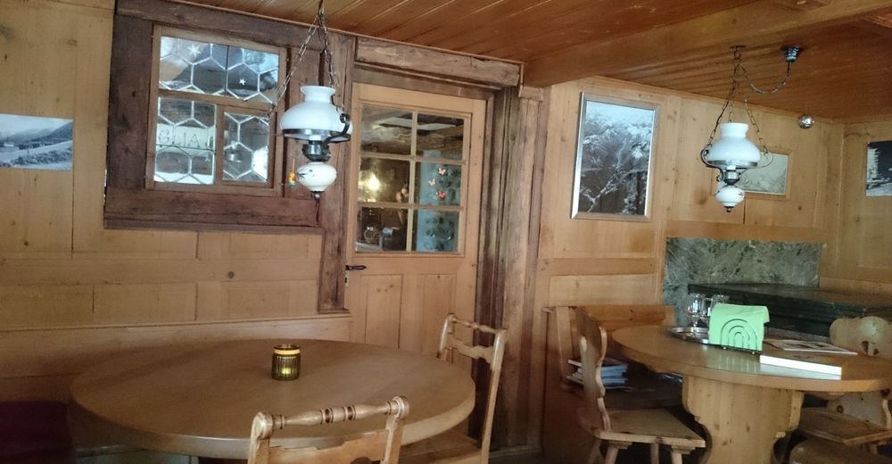
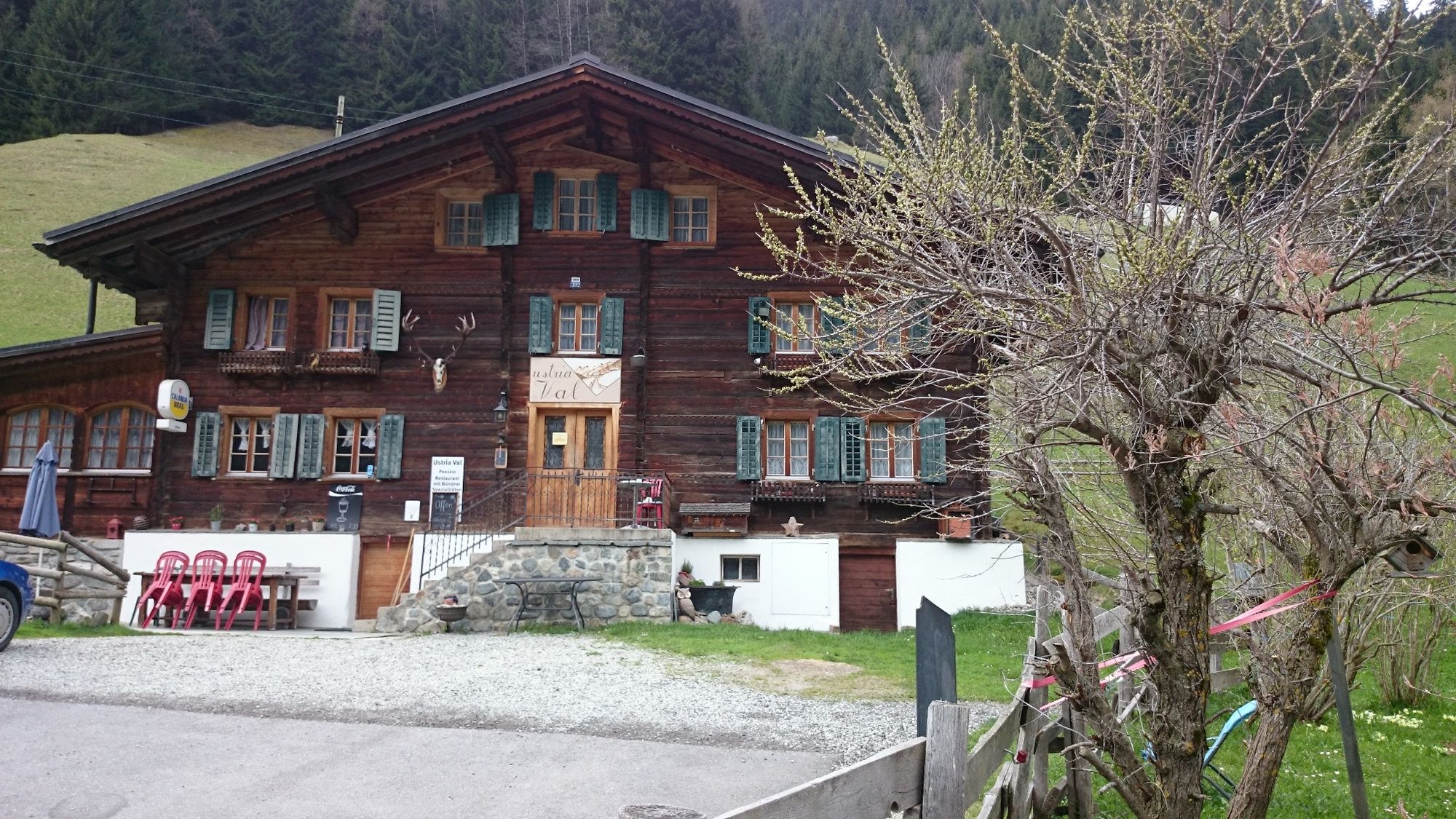
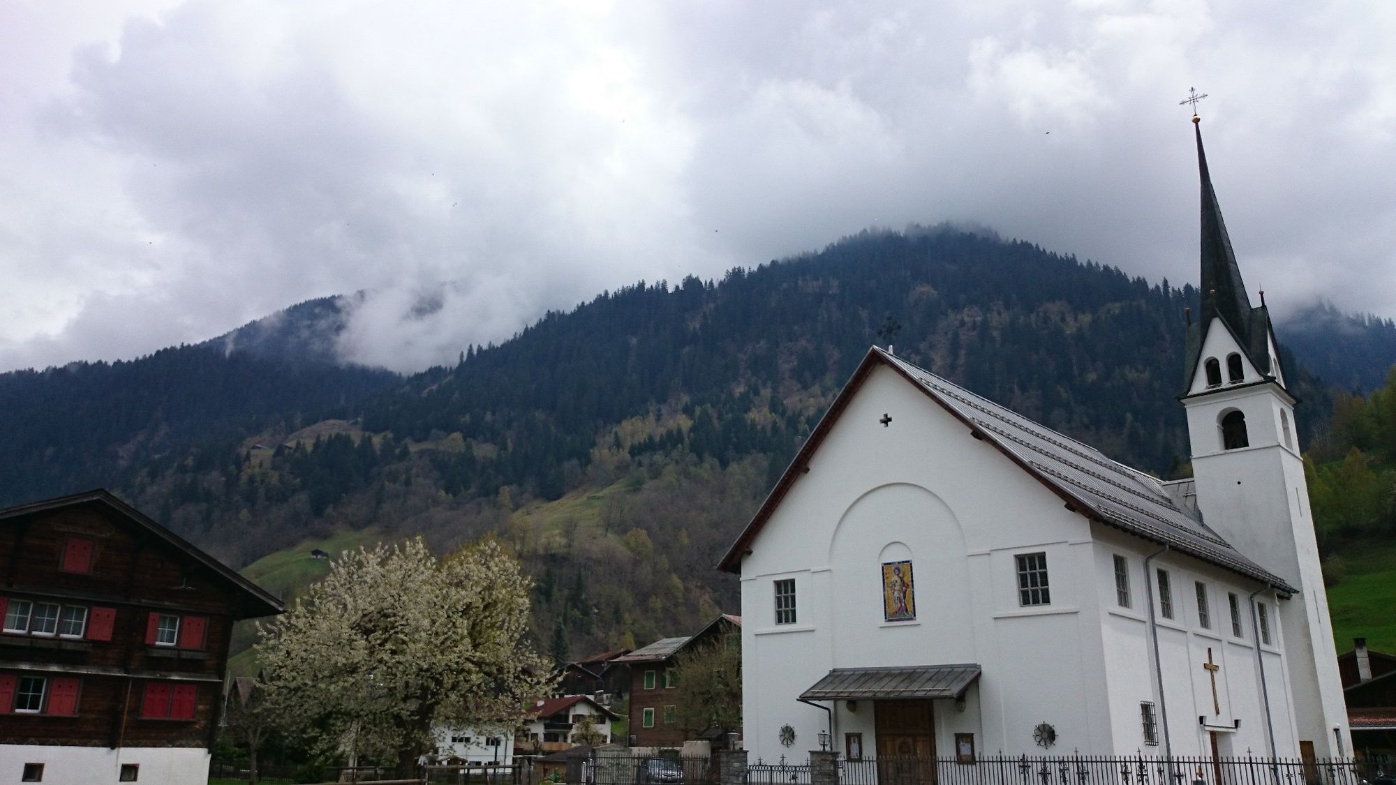
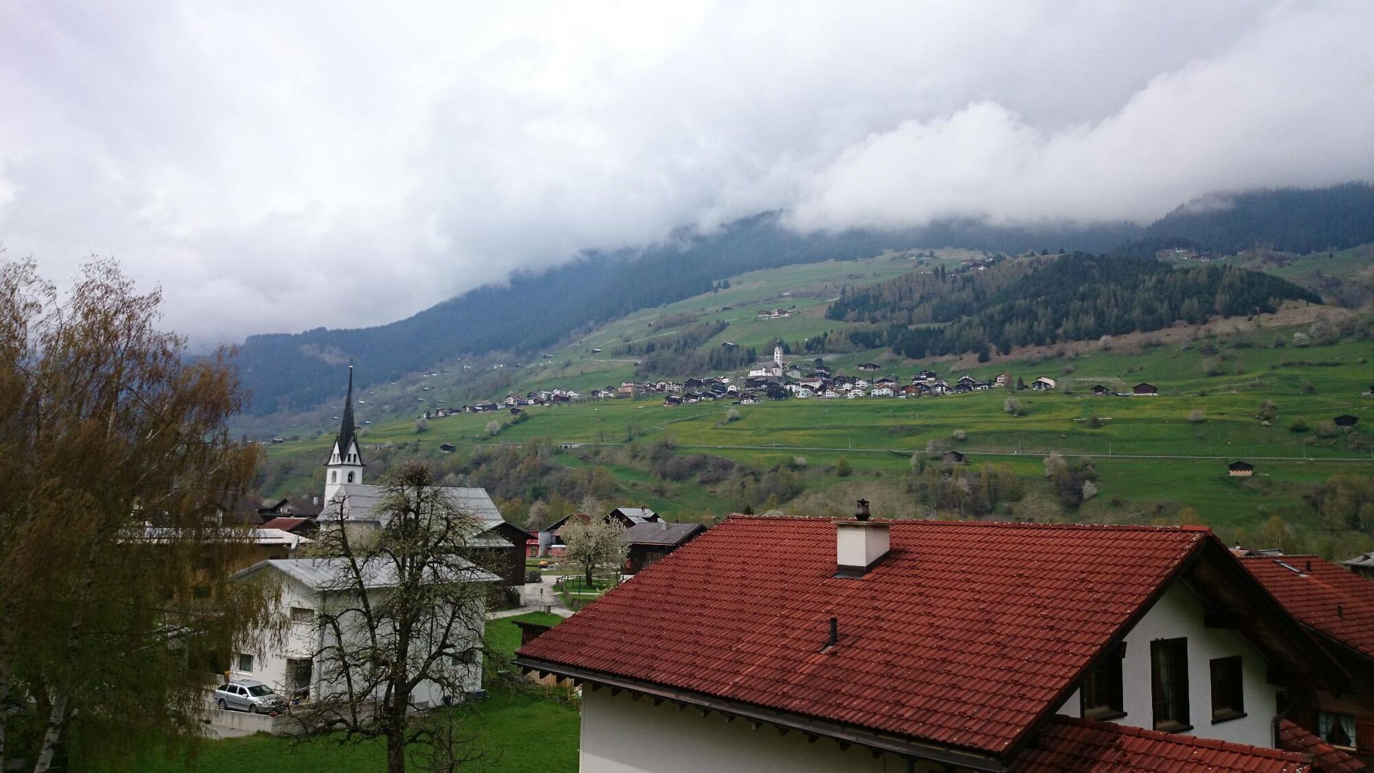
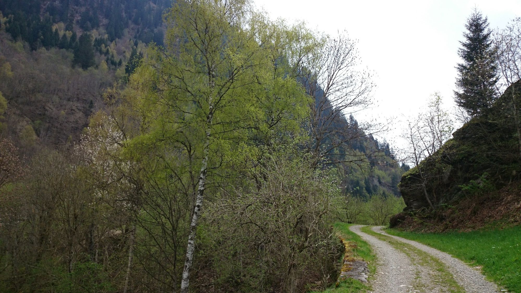
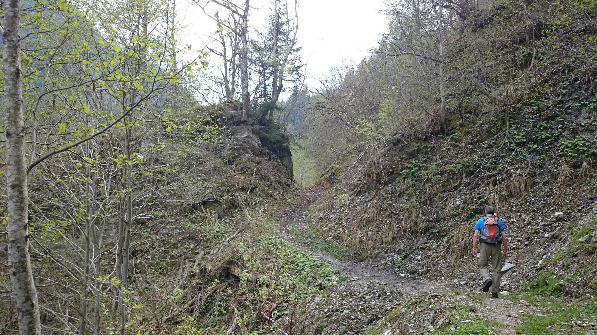
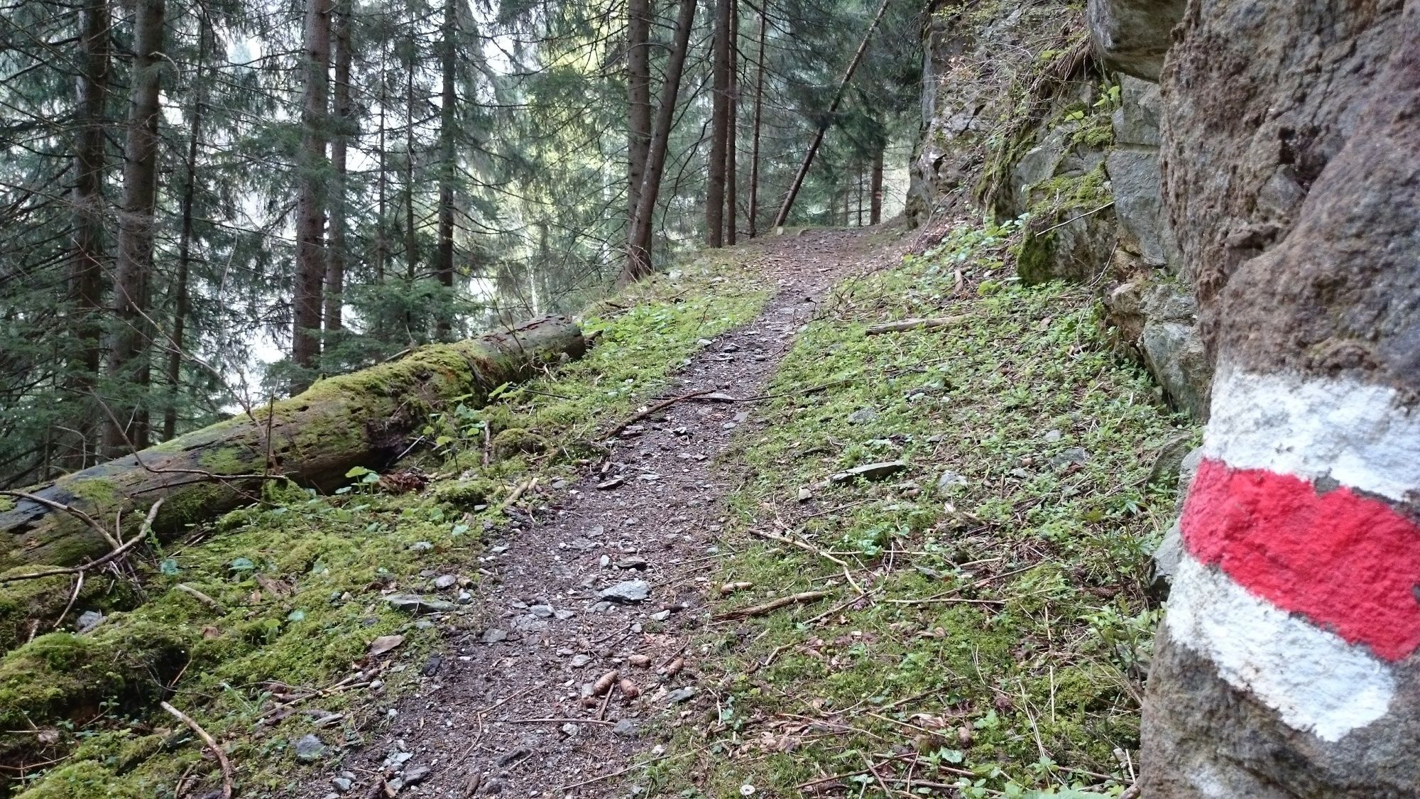
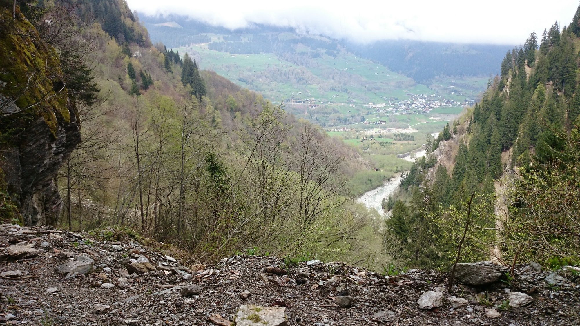
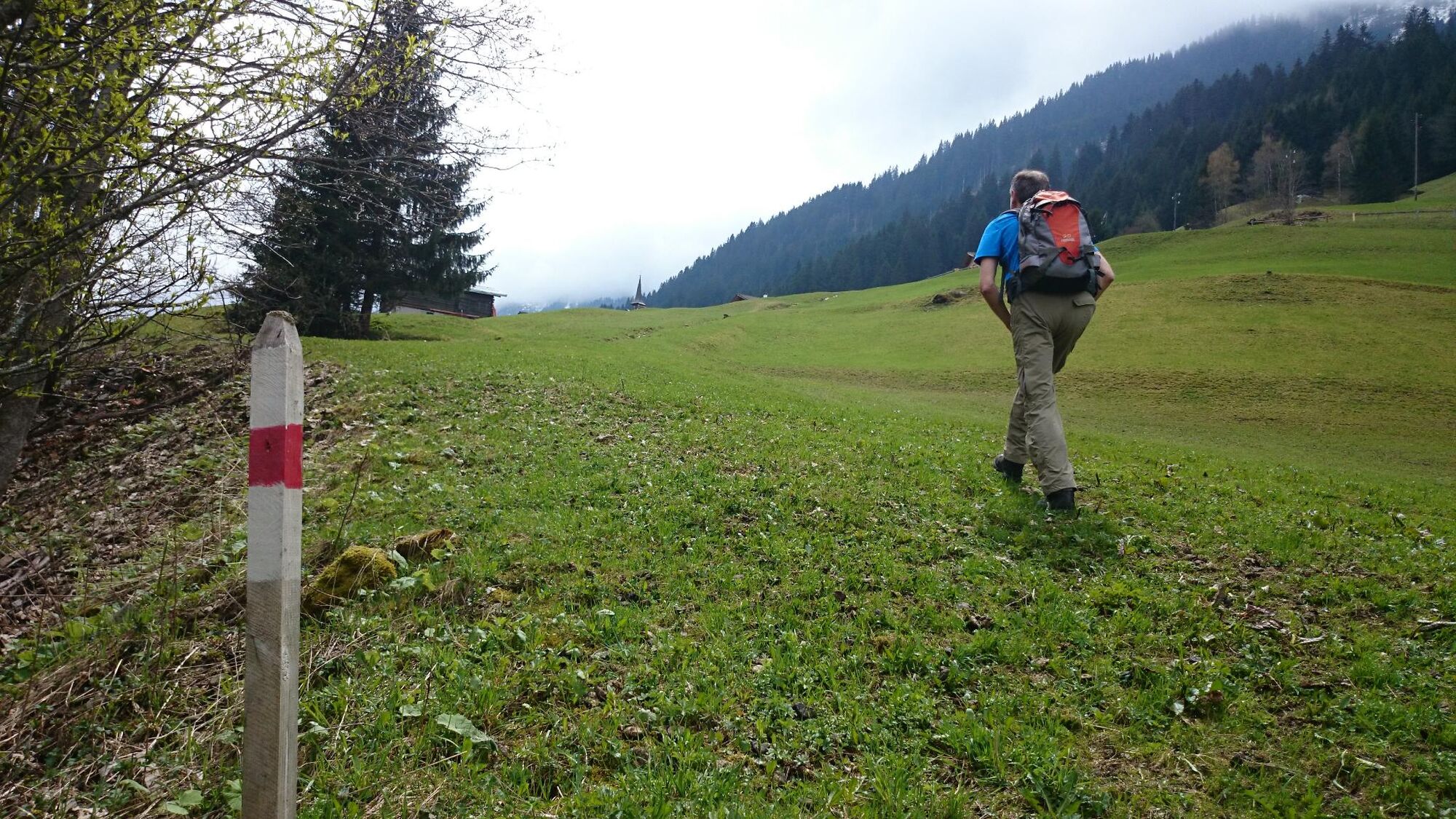
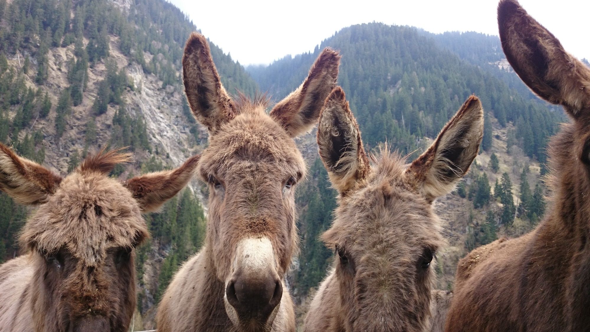
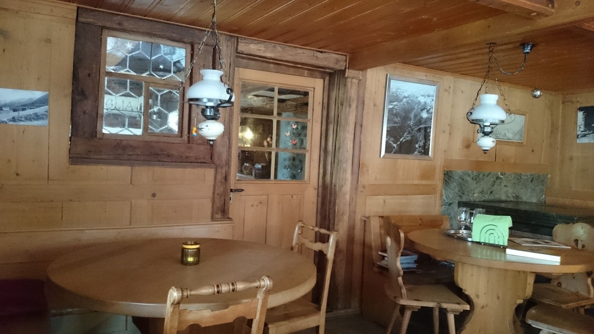
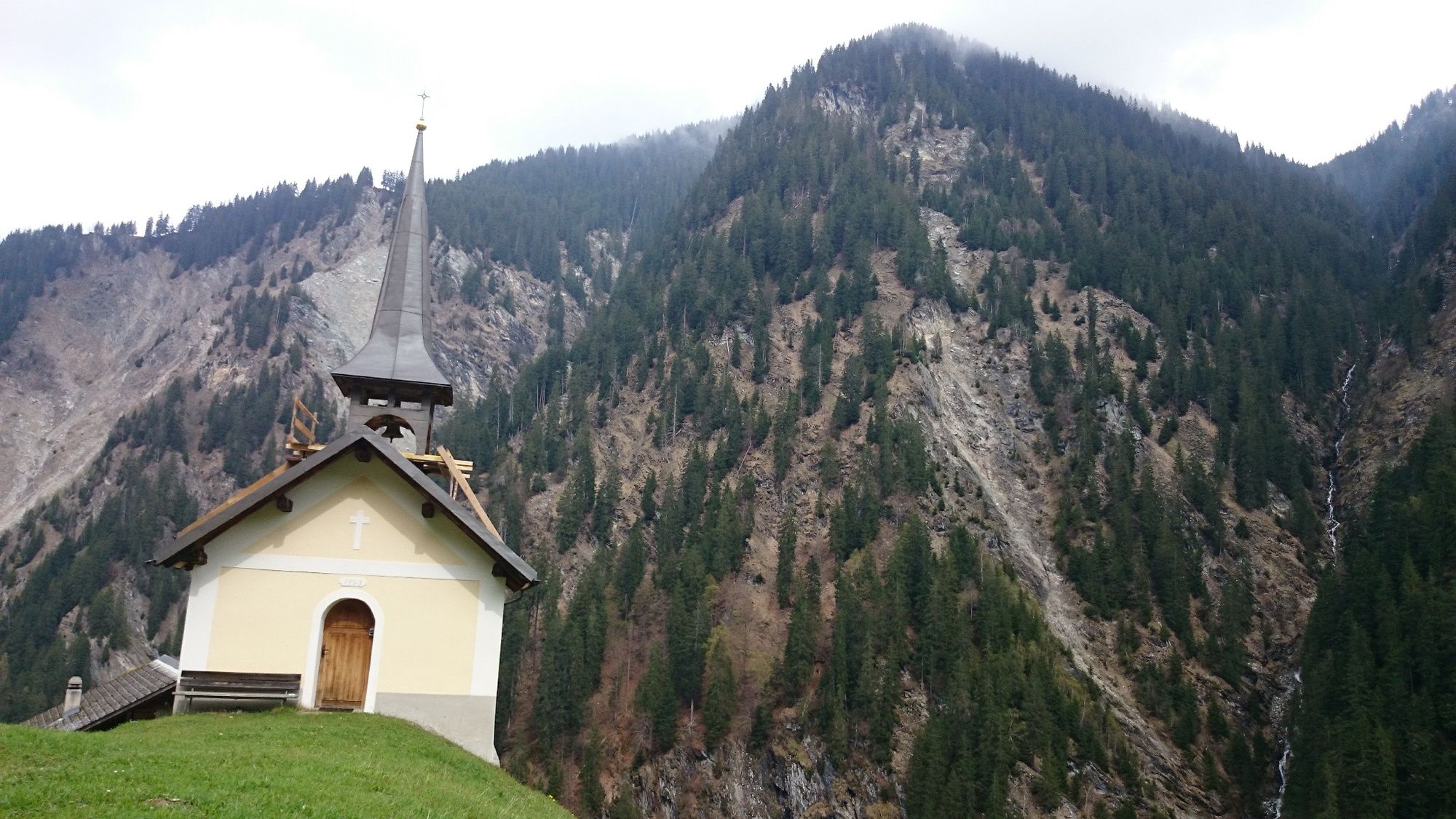
We start our hike at the church in Surrein, whose steeple is home to one of the largest bat colonies in Switzerland in summer. After the last typical Graubünden wooden houses, we try to imagine how it was back then, more than a hundred years ago, when aristocratic guests were transported by sedan chair or horse-drawn carriage along this path to Tenigerbad to have their illnesses cured there. The path first winds along the Rein Sumvitg and later climbs steadily. From time to time we have beautiful views of the wide and stony stream bed. Alders, birches and firs alternate and we cross small streams that carry debris into the valley during heavy rainfall. Further up it becomes rocky and the river disappears more and more in the valley bottom. After leaving the forest, we can already see the top of the chapel of Val. We meet a farm where more than twenty donkeys let the sun shine on their fur. Then we have reached our destination. Val a small, almost forgotten hamlet on the summer route to the Greina plain. We stop at the Ustria Val and enjoy a house coffee and homemade nut cake with whipped cream.
- Highest point
- 1,205 m
- Endpoint
-
Surrein - Sumvitg
- Height profile
-
 © outdooractive.com
-

-
AuthorThe tour On an old path to Val Sumvitg is used by outdooractive.com provided.


General info
-
Uri
1548
-
Trun
636
-
Sumvitg - Rabius
143