- Brief description
-
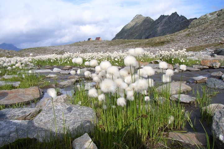
The alpine footpath Calanca is challenging and is for good walker. It follow the principal hill from alpine mountains, that divide the Calanca Valley with the Mesolcina Valley. The highest hills are less then 3000m. In some place you have a marvelous view. In some section of the footpath the securty is guaranty from lines.
- Starting point
-
San Bernardino pass
- Route
-
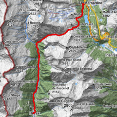
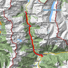
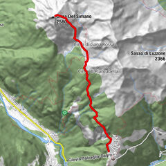
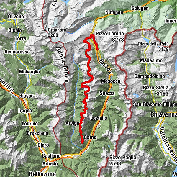
San Bernardino (1,626 m)Alp de Confin (2,300 m)12.4 kmPass di Passit (2,081 m)14.5 kmReverz de Passit15.8 kmPass de la Cruseta (2,455 m)16.2 kmBocca de Rogna (2,399 m)16.7 kmPian Grand18.5 kmRifugio Pian Grand (2,398 m)18.5 kmCresta Bedoleta (2,514 m)19.1 kmAlp de Trescolmen21.2 kmMottan (2,166 m)24.6 kmBocchetta de Buscenel (2,157 m)24.6 kmPiz de Ganan (2,414 m)29.4 kmBuffalorahütte33.3 kmPass de Buffalora (2,261 m)34.5 kmMotta del Perdül (2,003 m)39.4 kmAlp di Fora43.8 kmPian di Renten44.7 kmPian Di Renten (1,914 m)44.8 kmPian Giò46.0 kmSanta Maria in Calanca (955 m)49.0 kmRistorante de Torre49.1 km
- Description
-
The alpine footpath Calanca is quit difficult and is for good walker. It is well liked from alpine walker even if it is a challaging path. It follow the principal hill from the alpine mountains, that divide the Calanca valley and Mesolcina valley. The path begin from San Bernardino village or from S.Bernardino pass.
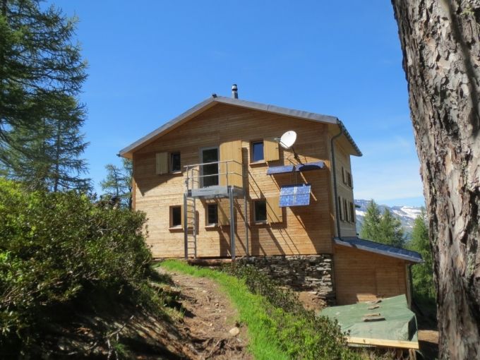
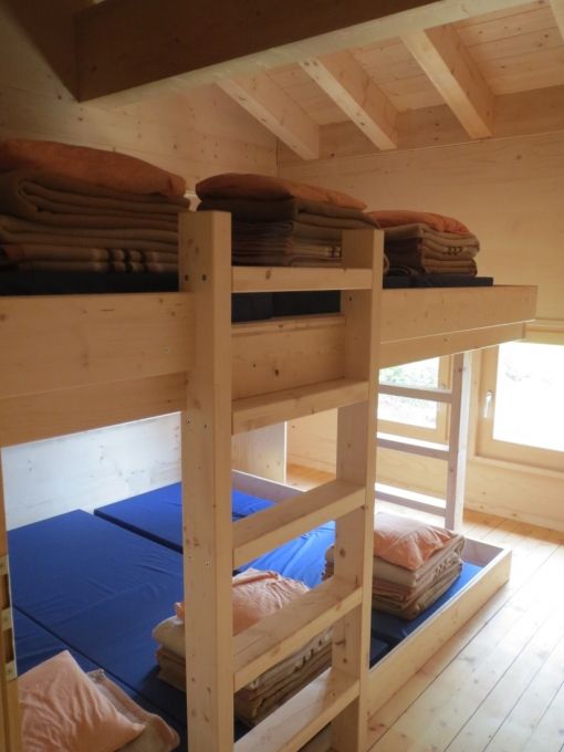
The first day take six hours and start from San Bernardino village. After the climbing until the pass from San Bernardino, turn on the Sud side and you pass again up the the village. The view from this elevation is marvelous and allowed to peer all the Mesolcina valley. The first day end to refuge Pian Grand. It is possible to reach Pian Grand climbing from San Bernardino village trough the pass di Passit. In this case the time to reach Pian Grand is 3 1/2 hours.
For the second day you need 8-9 hours and allowed initially to reach de alpe de Trescolmen and then the Trascolmen sea. Following in the same direction (south) you reach the sea Calvaresc that has a form of hearth and then the alpe Calvaresc. From this point the the lodge Buffalora is not any more far away.
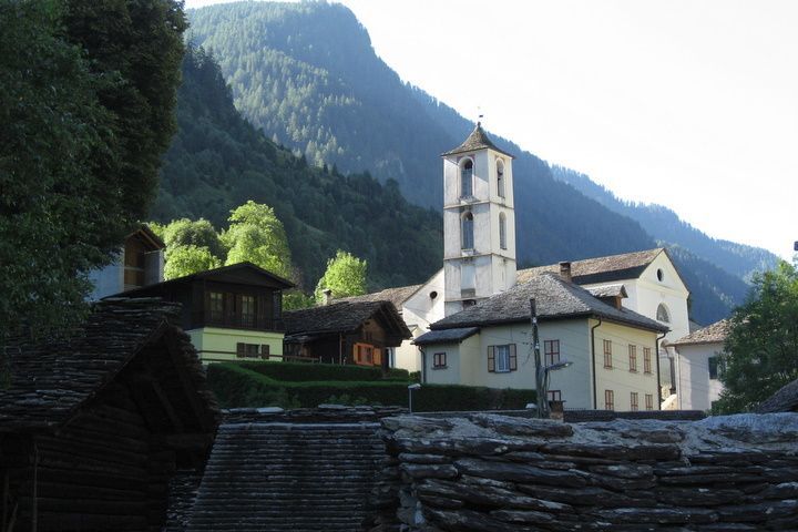
The third day need 7 1/2 hours. The way goes southway and allow to look from the high the fabolous Calanca valley. Initialy it is possible to see on the left the Piz Groven. After pass the refuge Alpe de Fora you reach a beautiful wood and going through you reach Santa Maria in Calanca. From Santa Maria you can take the bus that bring you first in Grono and then in San Bernardino.
- Highest point
- 2,471 m
- Endpoint
-
Santa Maria in Calanca
- Height profile
-
 © outdooractive.com
 - Directions
-
Highway from Bellinzona direction San Bernardino
- Public transportation
-
Bus from Bellinzona or Thusis
- Parking
-
parking in San Bernardino village along the river Moesa - free


-

-
AuthorThe tour Alpin footpath Calanca is used by outdooractive.com provided.


-
Comer See
761
-
Val Mesolcina
224
-
Rossa
48