


- Brief description
-
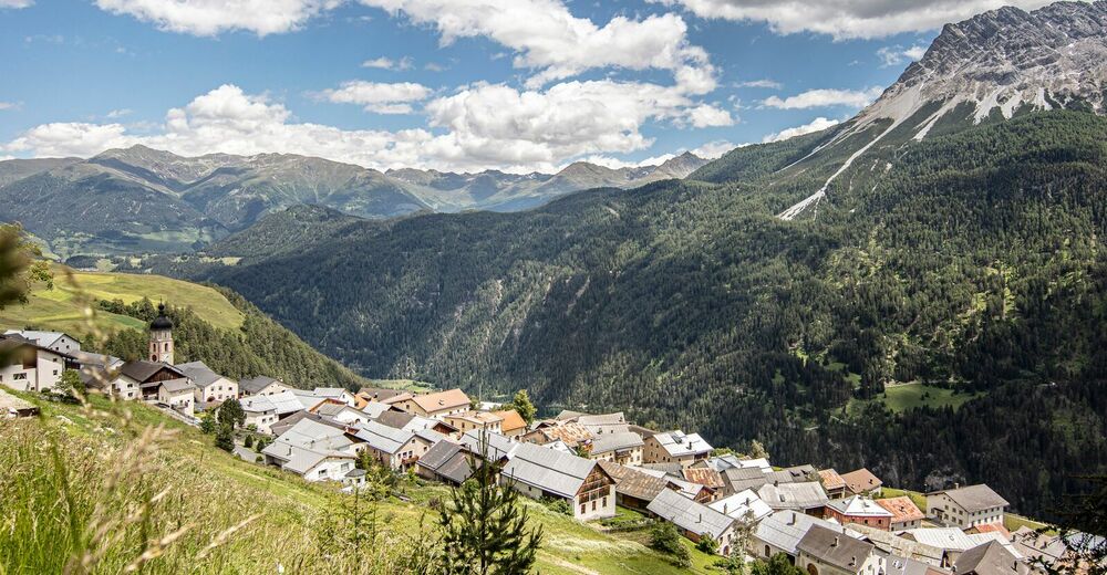
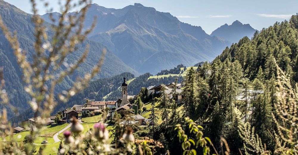
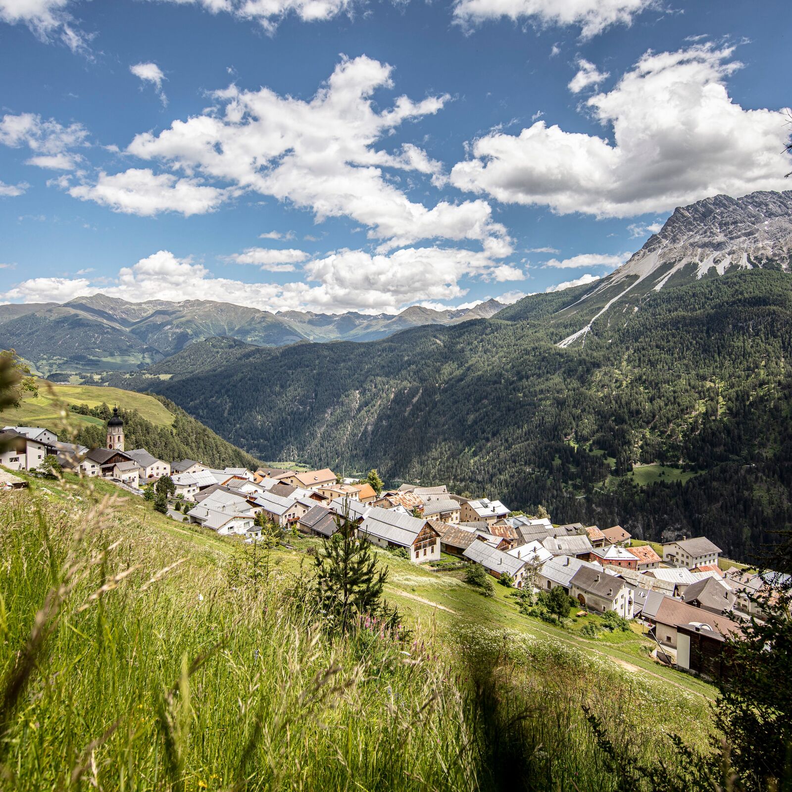
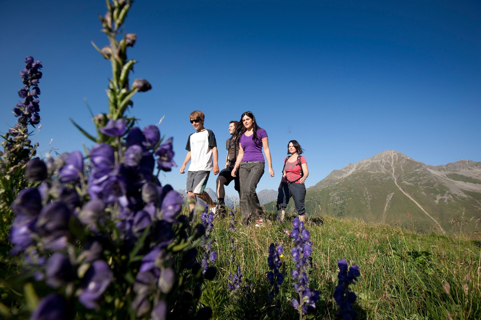
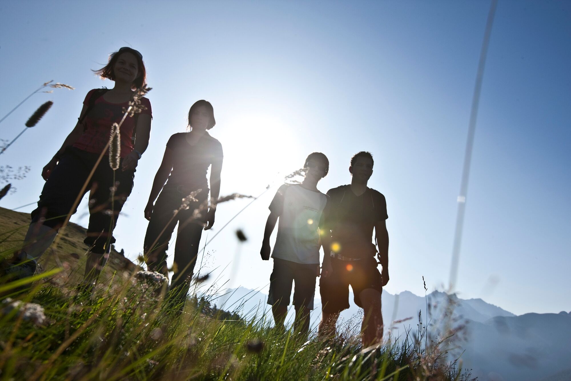
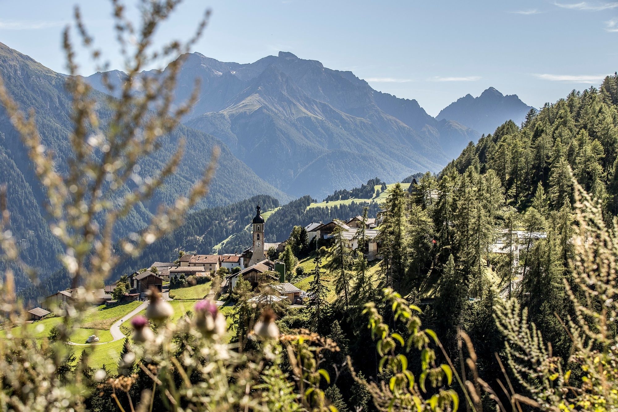
A walk to Alp Tea clears the head and is balm for the soul. You walk through wonderful meadows and forests up to the alp, from where you can enjoy a unique view.
- Difficulty
-
medium
- Rating
-
- Starting point
-
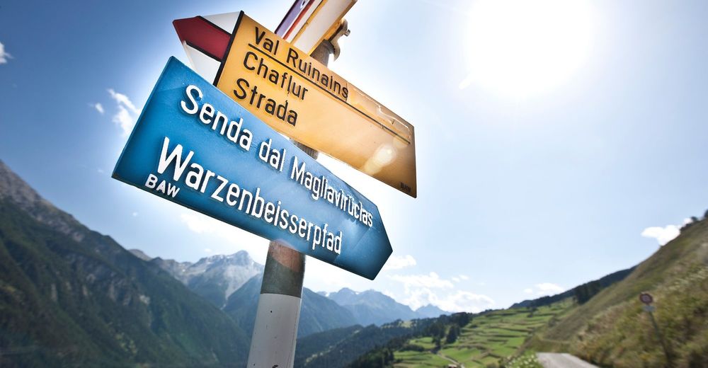
PostBus stop Tschlin, cumün
- Route
-
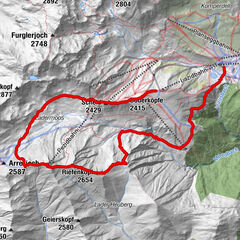
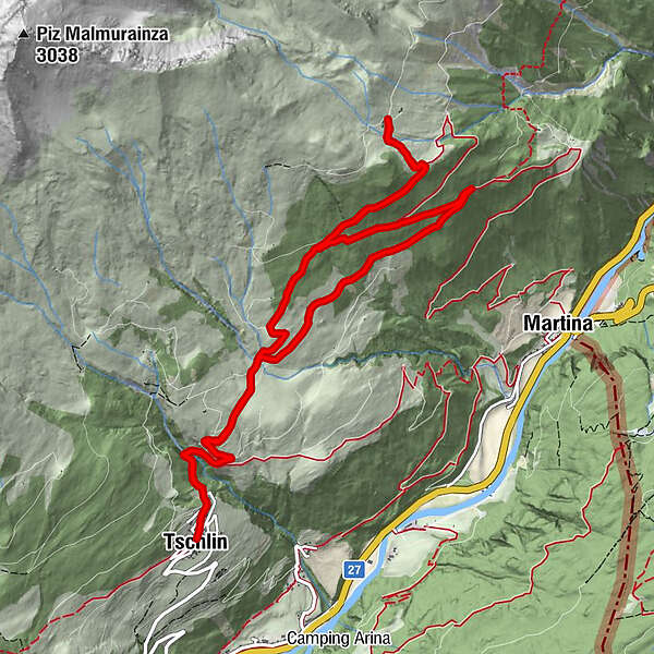
Tschlin (1,533 m)San Jon0.1 kmAlpenbrauerei Girun0.1 kmSan Plasch0.3 kmAlp Tea Sura5.3 kmSan Plasch13.1 kmSan Jon13.2 kmAlpenbrauerei Girun13.3 kmTschlin (1,533 m)13.5 km
- Best season
-
JanFebMarAprMayJunJulAugSepOctNovDec
- Description
-
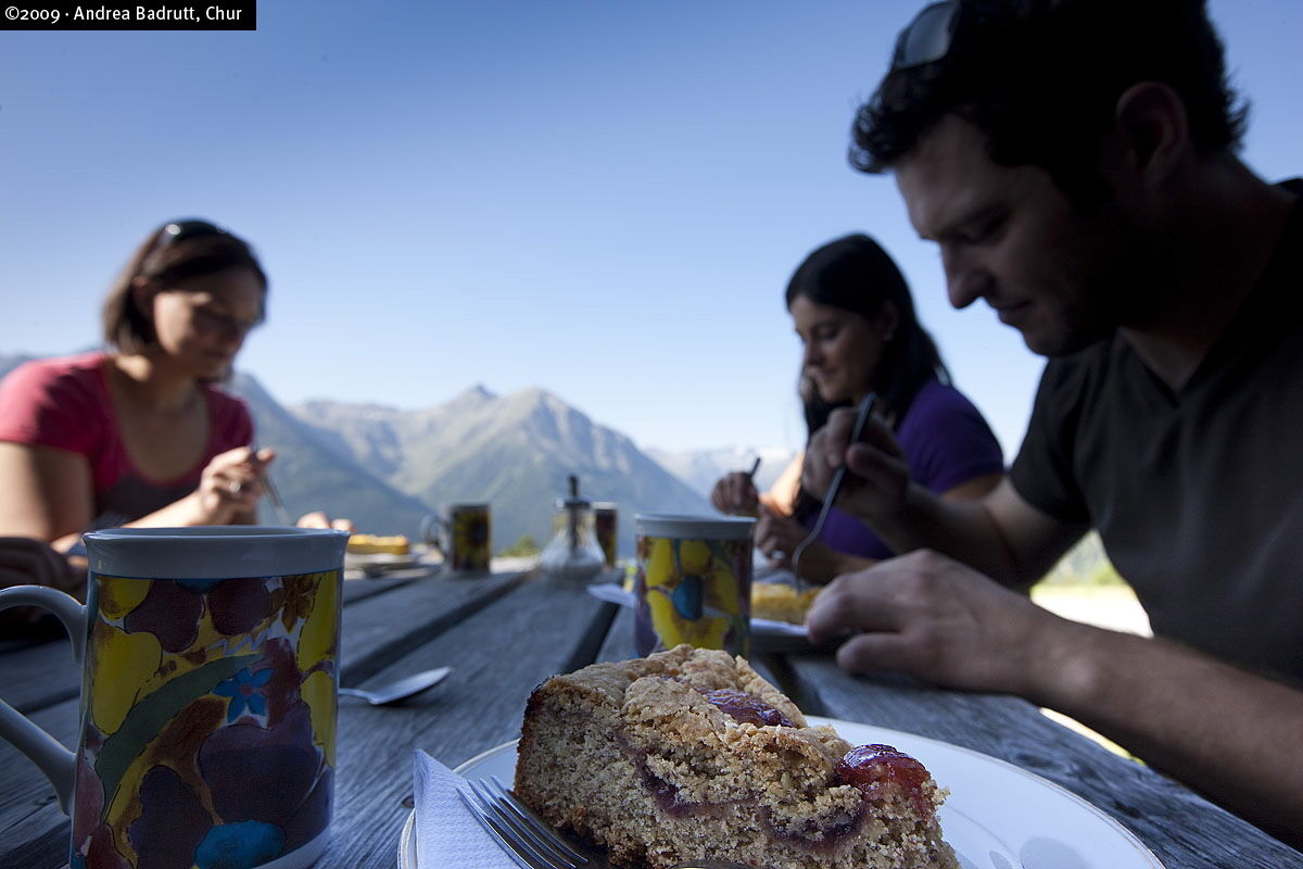
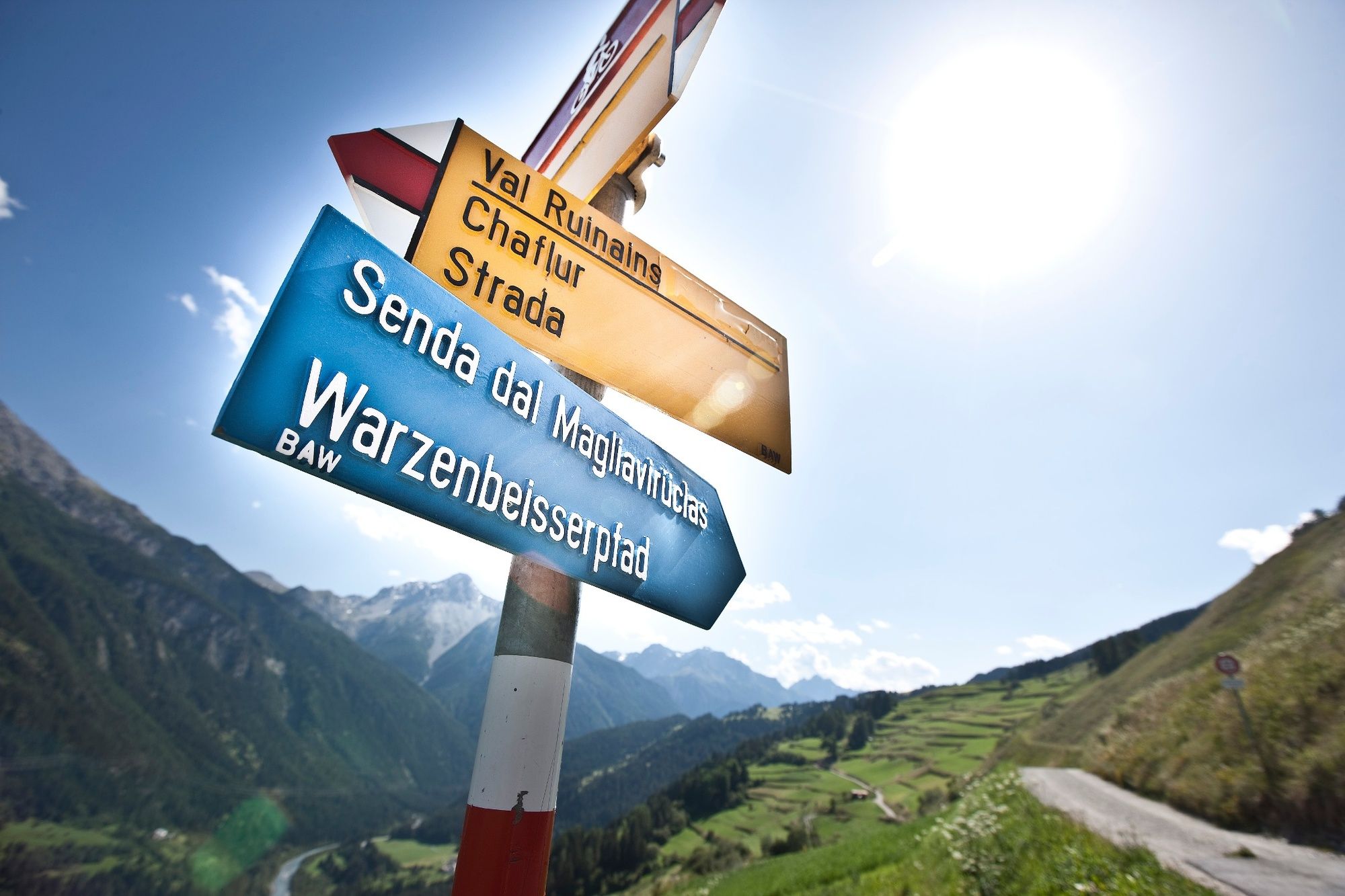
From the PostBus stop in Tschlin, head east to the church and then continue along a nature trail. The path crosses the stream and then the road begins to get a little steeper. A wonderful view of the Norbertshöhe opens up. Through the meadows and the woods the road continues up to Alp Tea. The alp is serviced during the summer. The return path can be done along the same trail. An alternative is to turn right at the turn-off and follow a hiking trail. This path also leads back to Tschlin, where the tour began. Alternatively you could also descend from Alp Tea to Martina.
- Directions
-
From the PostBus stop, head east past the church.
Follow the path to Alp Tea
Return the same way as out or via the hiking trail - Highest point
- 2,036 m
- Endpoint
-
PostBus stop Tschlin, cumün
- Height profile
-
 © outdooractive.com
 - Equipment
-
Sturdy shoes, bad weather clothing, possibly sticks
- Safety instructions
-
The tour was assessed in favourable weather conditions, it is imperative that the current weather conditions and weather forecasts are observed before starting the tour.
Emergency call:
144 Emergency call, first aid
1414 Mountain rescue REGA
112 International emergency call
- Directions
-
- From the north: via Landquart - Klosters by car transport through the Vereina Tunnel (Selfranga - Sagliains) or via the Flüela Pass into the Lower Engadine on H27, turn left after Strada.
- From the east: via Landeck / Austria in the direction of St. Moritz on H27, turn right after Strada
- From the south: via Reschenpass (Nauders-Martina) or Ofenpass (Val Müstair-Zernez) on H27, turn right after Strada.
Tschlin can be reached from the Engadin road (between Strada and Ramosch).
- Public transportation
-
- By Rhaetian Railway (from Chur, Landquart/Prättigau or from the Upper Engadine) hourly to Scuol-Tarasp.
- By PostBus (from Martina, Sent, Ftan or Tarasp) hourly to the PostAtuo stop Tschlin, cumün
- Parking
-
- Free parking at the entrance to the village of Tschlin
- Author
-
The tour Tschlin - Alp Tea - Tschlin (Circular Route) is used by outdooractive.com provided.