
- Brief description
-
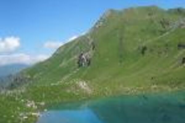
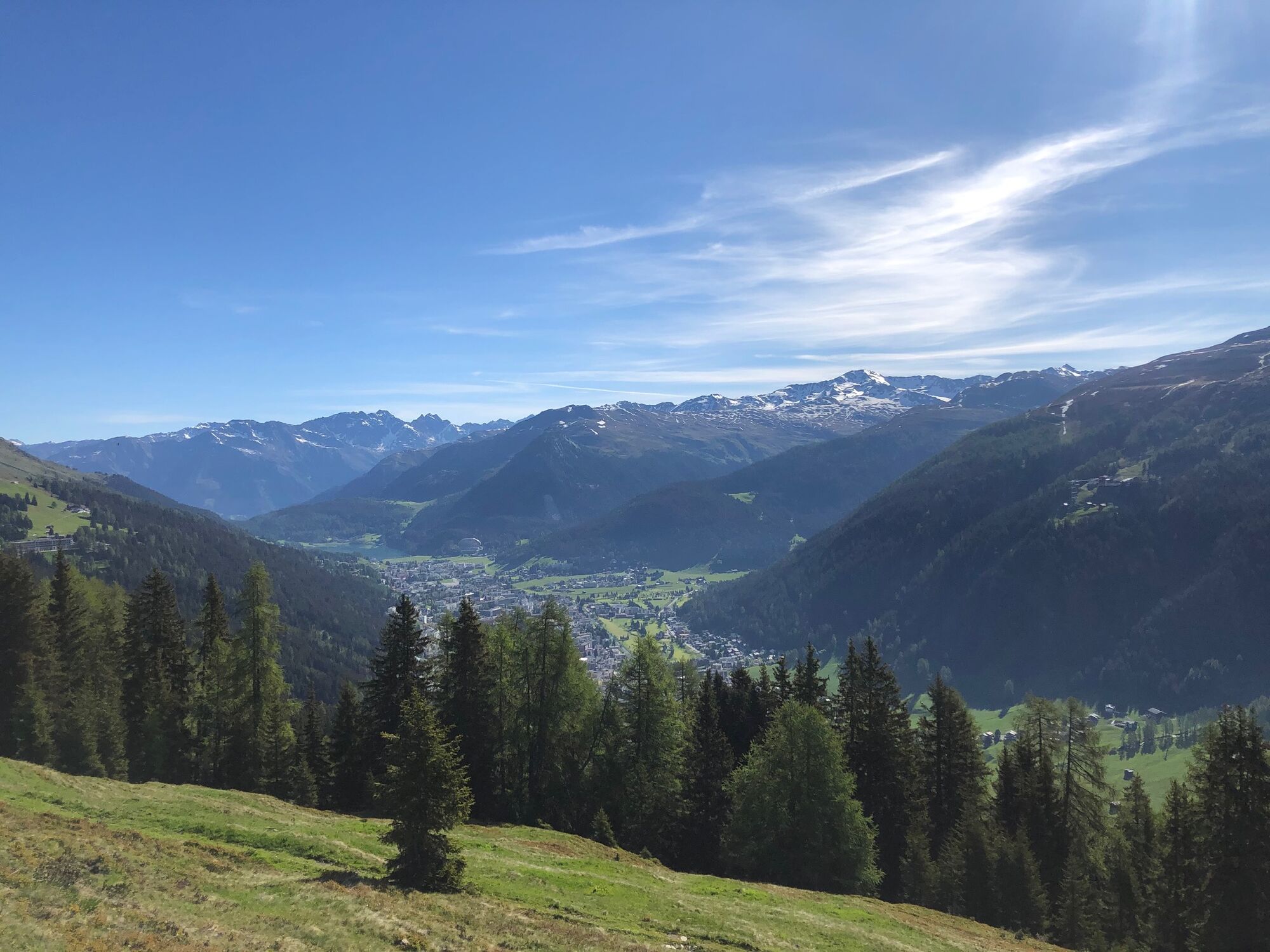
A high and sunny alpine tour with panoramic views of mountain ranges and the area of Davos. With great variety of alpine flora you come past the historical Hotel Schatzalp with its Alpinum.
- Difficulty
-
medium
- Rating
-
- Route
-
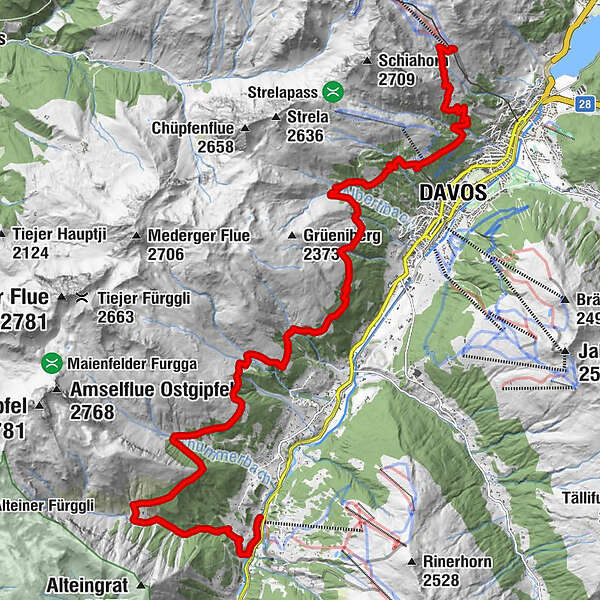
Höhenweg (2. Sekt. Talst.) (2,218 m)0.0 kmHöhenweg0.1 kmRestaurant Höhenweg0.1 kmDavos (1,560 m)4.4 kmSchatzalp4.6 kmSchatzalp (1,861 m)5.0 kmStafelalp12.9 kmChummeralp (1,951 m)15.3 kmBärentaler Alp (1,851 m)19.4 kmOrtolfi22.1 kmSankt Nikolaus22.4 km
- Best season
-
JanFebMarAprMayJunJulAugSepOctNovDec
- Description
-
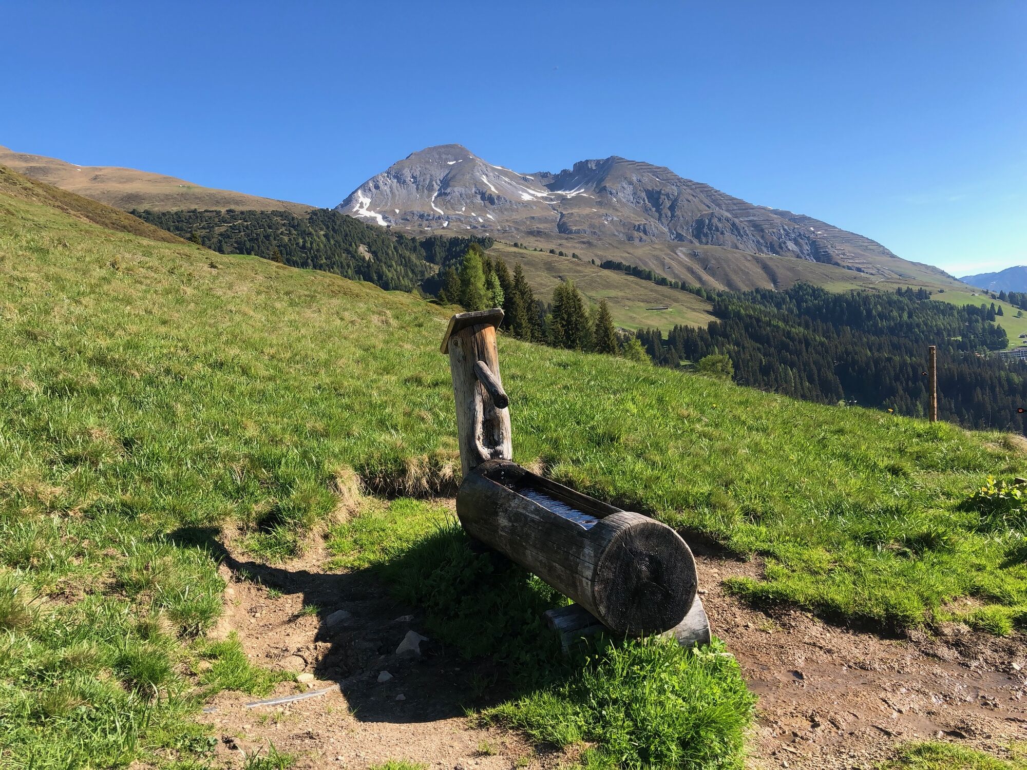
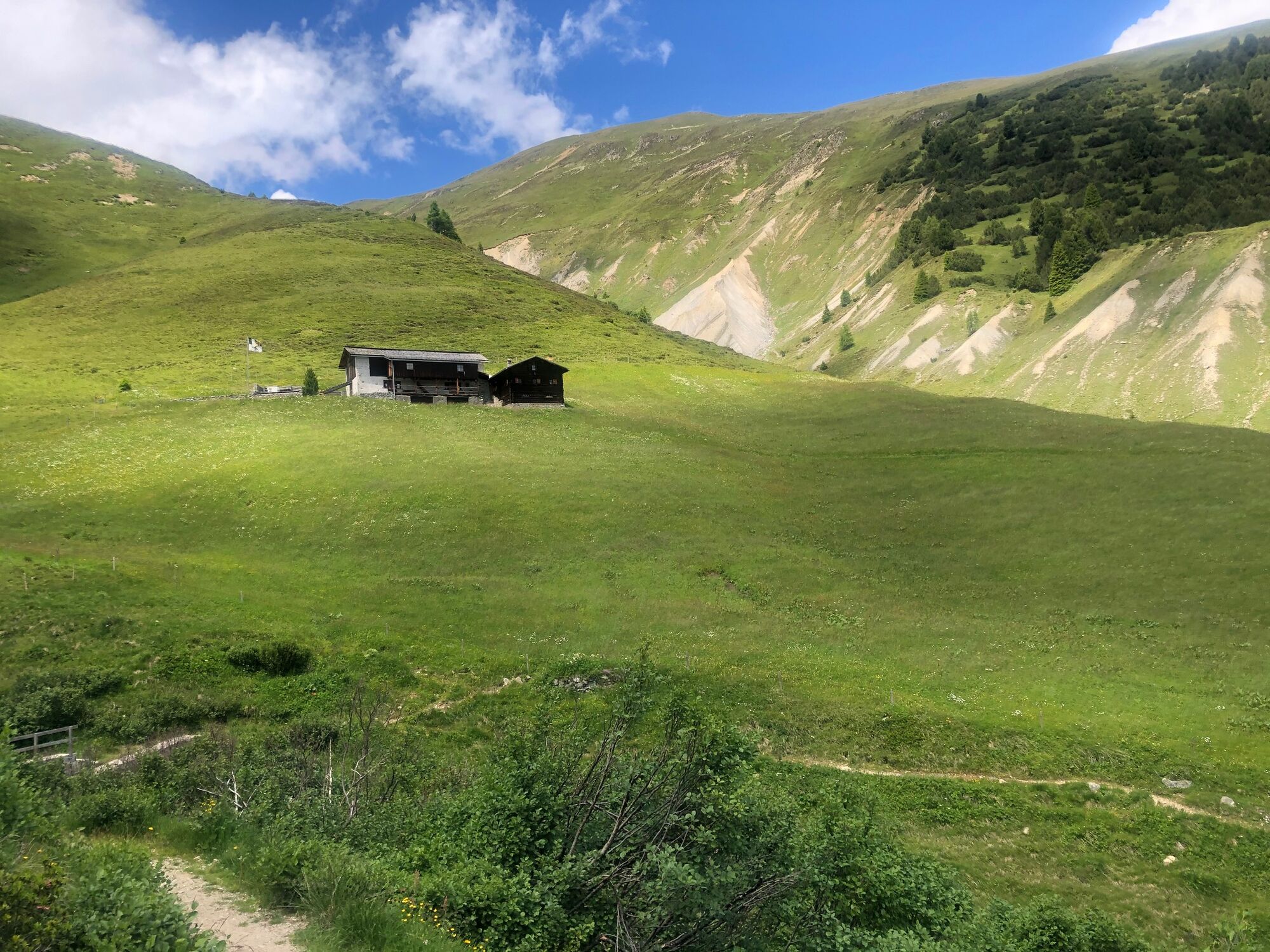
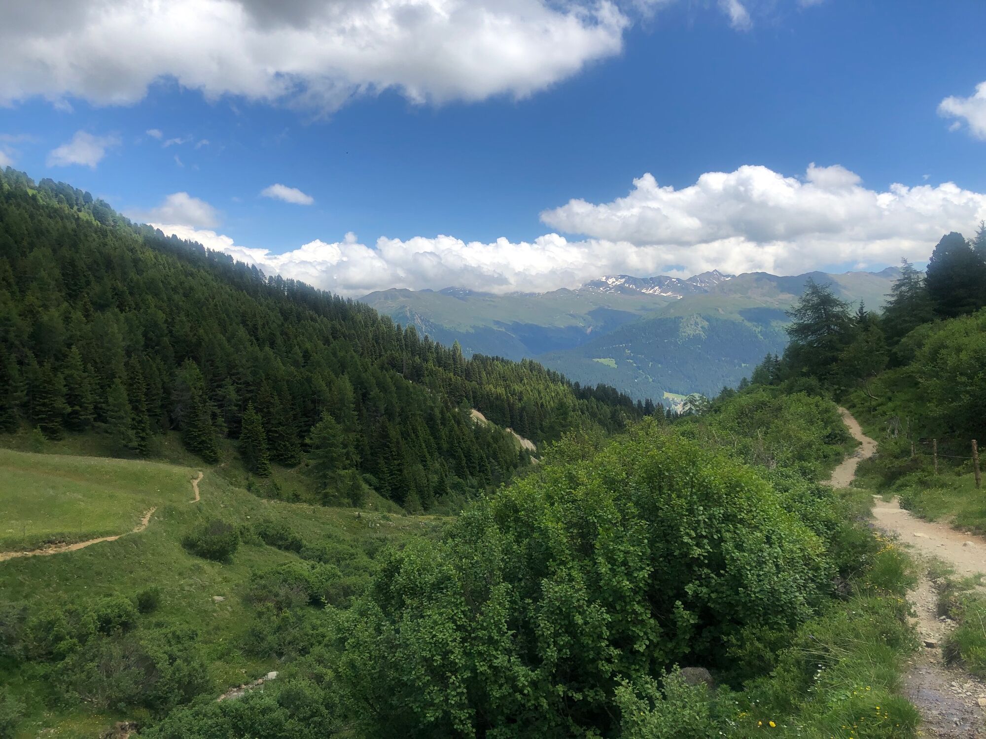
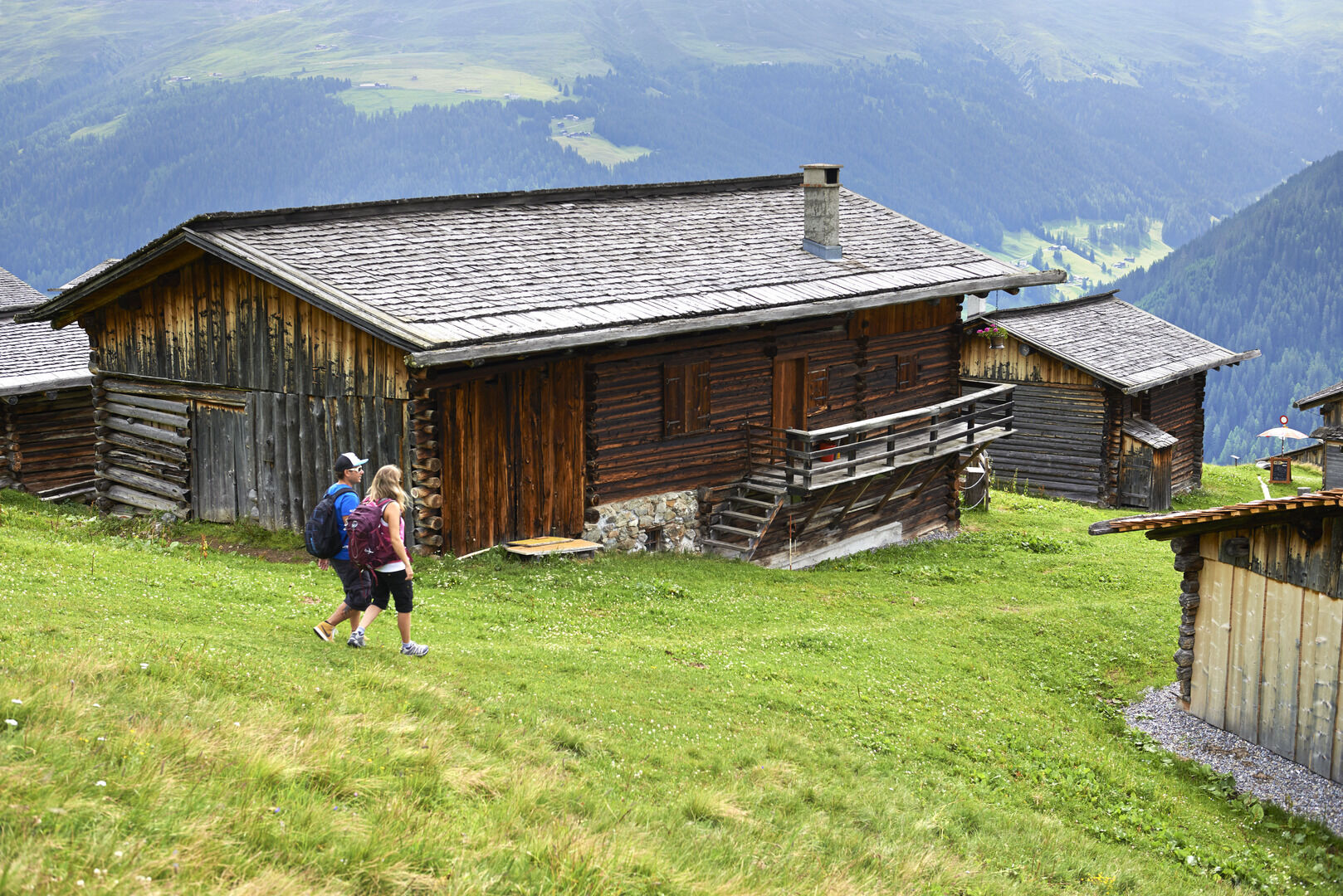
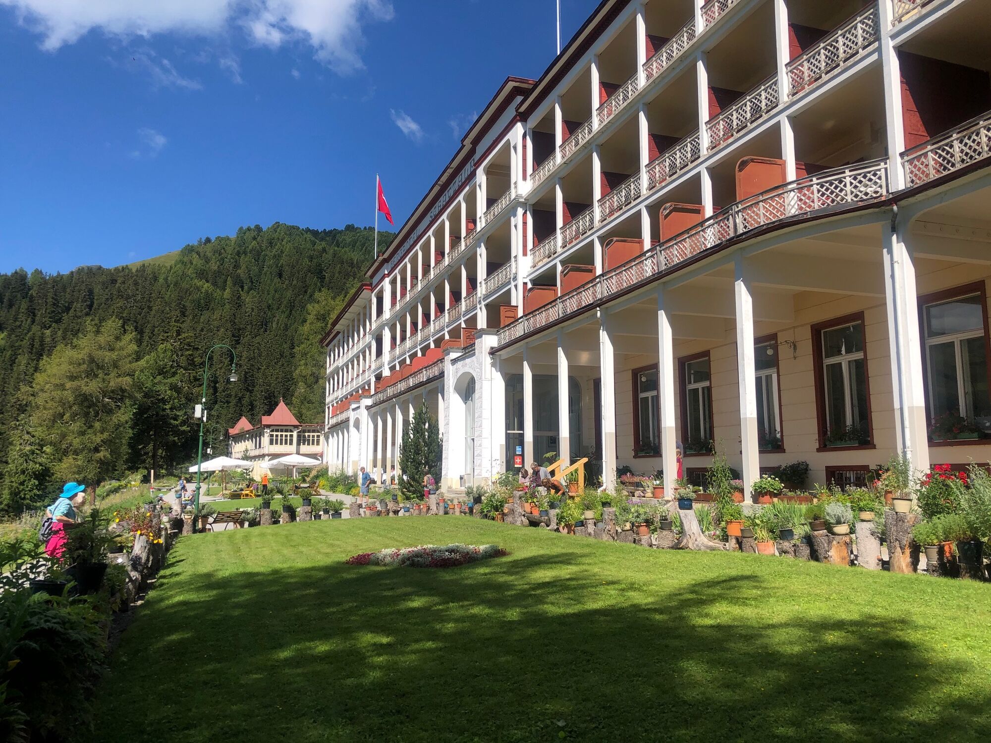
The starting point of the tour is the station Höhenweg. It is comfortably reached with the Parsenn funicular. The path leads towards the Büschalp, which gets its name from the original owner - Family Büsch. The meaning of the name is «tiny ragged fir».The Schatzalp is the next stop, where you can admire the Alpinum Schatzalp with over 1,300 different plants from all over the world. The one-time sanatorium has been a hotel for 50 years. The bestselling-author, Thomas Mann, was inspired here to write his novel «The Magic Mountain».The path leads you on to the Podestatenalp. This alp belonged to the «Podesta» a kind of overlord of a region. After this you move through different small alps, such as the Stafelalp, where the painter, E.L. Kirchner spent the summers of 1917/18. The way now passes rustic Walser farms, through meadows and fields until you reach Glaris.
- Highest point
- 2,212 m
- Endpoint
-
Davos Glaris
- Height profile
-
 © outdooractive.com

-

-
AuthorThe tour Alpentour Davos Klosters is used by outdooractive.com provided.


General info
-
Davos Klosters
927
-
Davos Schatzalp
215