Cross-border hike to the Heidelberger cabin in Val Fenga (Fimbatal).


- Brief description
-
Grenzüberschreitende Wanderung zur Heidelberger Hütte im Val Fenga (Fimbatal).
- Difficulty
-
difficult
- Rating
-
- Starting point
-
PostBus stop Samnaun village, post
- Route
-
El Rico0.1 kmSamnaun (1,846 m)0.2 kmMaria Hilf chapel0.4 kmSchmuggler-Alm0.6 kmHeidelberger Hütte12.0 kmPlan da la Chamanna13.5 kmPlan Buer14.1 kmPiz Val Grondabahn (2,295 m)19.6 kmMaria Hilf chapel26.8 kmSamnaun (1,846 m)26.9 kmEl Rico27.0 km
- Best season
-
JanFebMarAprMayJunJulAugSepOctNovDec
- Description
-
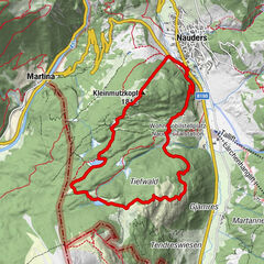
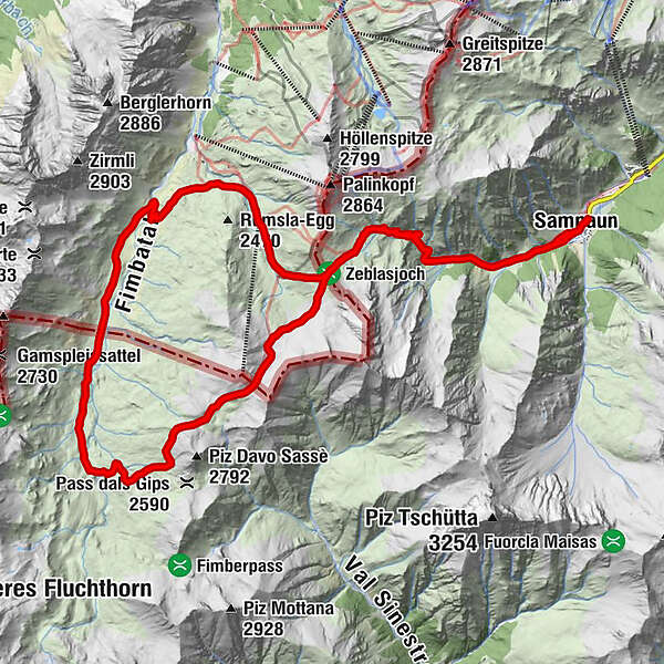
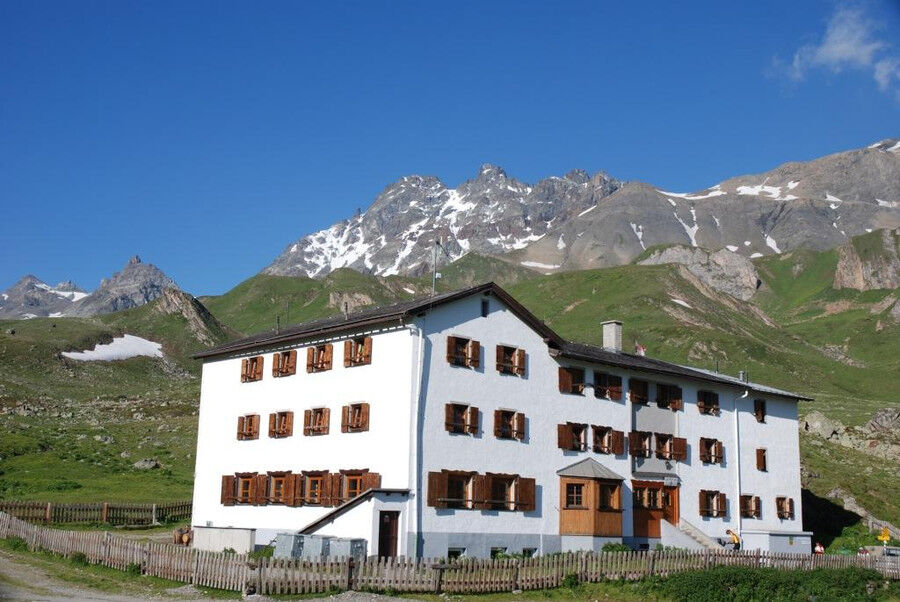
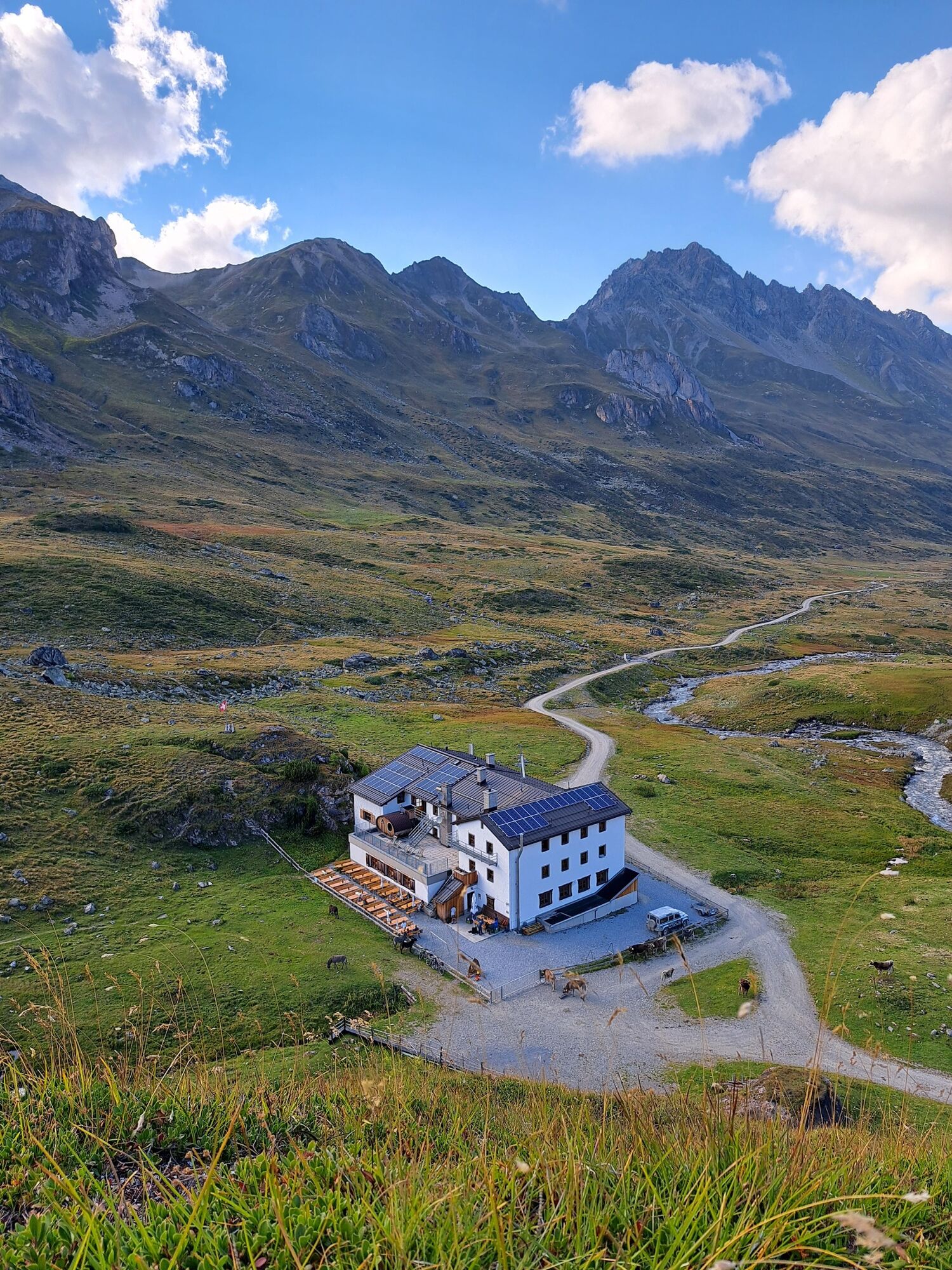
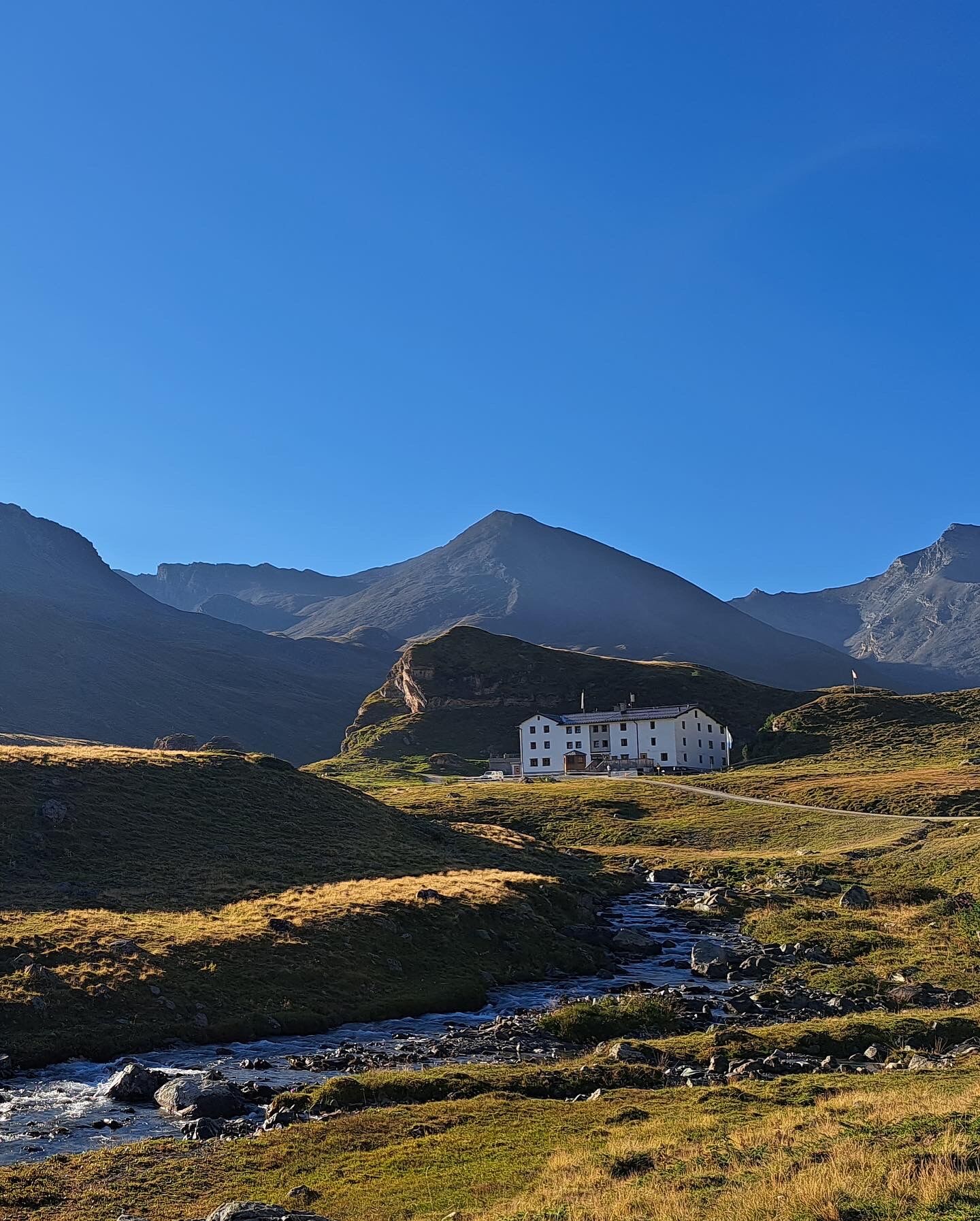
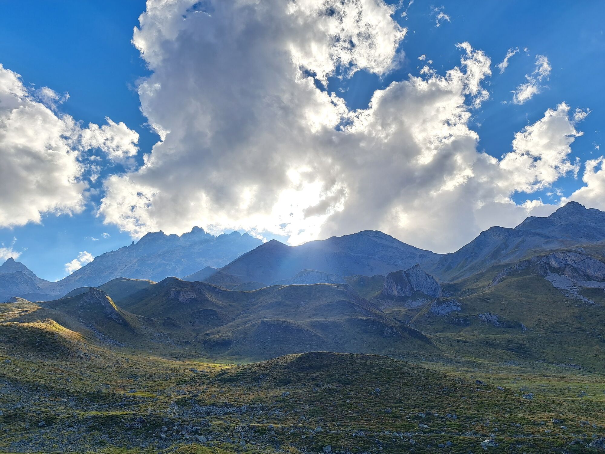
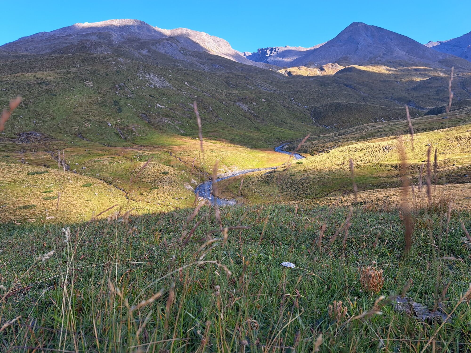
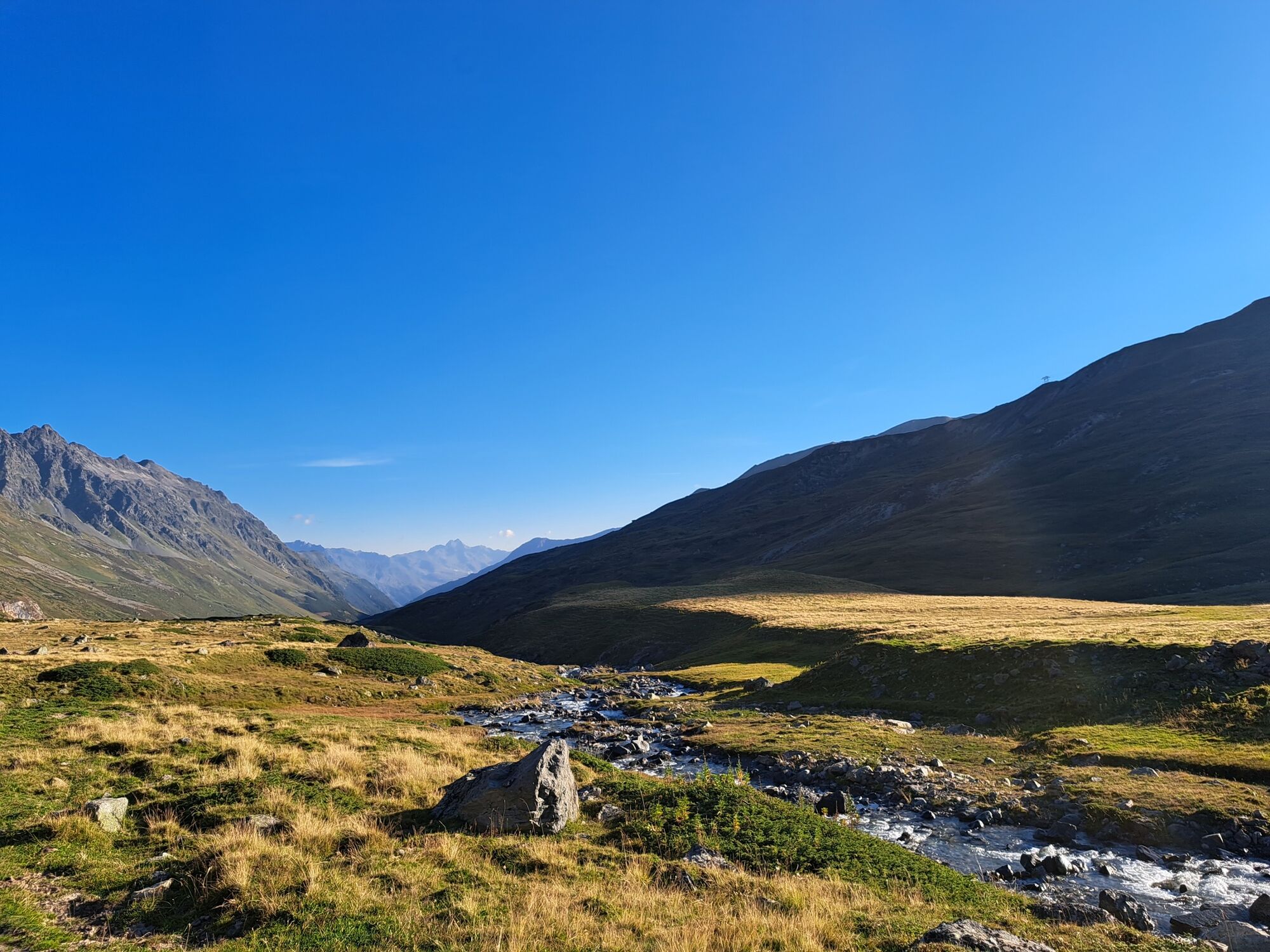
Begin your route from Samnaun Dorf through Val Masauna and past "at the waterfalls". Since the Sulnerferner has strongly withdrawn, the volume of the waterfalls has also become smaller. You continue by steeply ascending over the Zeblas pastures to Zeblasjoch, where you cross the state border to Austria. After a slight descent, the trail climbs again to Fuorcla Val Gronda, the highest point of the hike. A detour to Piz Val Gronda with the mountain station of the new cable car (operated only in winter) and the 360° panoramic view is worthwhile. From now on, we hike back on Swiss territory down to the Heidelberger cabin, always with Fluchthorn in view. The German cabin on Swiss ground is kept by an Austrian (mid-June to mid-September). The foundations of prehistoric alpine cabins, which were excavated in 2007, are located just above the Heidelberger cabin. After a rest, you continue along the path leading through the Fimba valley to Gampen Alp (A), where another steep climb back to Zeblasjoch awaits you. Take the same path back to return to Samnaun Dorf.
- Directions
-
From Samnaun village through the Val Masauna over the Zeblas meadows to the Zeblasjoch
After a short descent again slightly uphill to Fuorcla Val Gronda
A detour to the Piz Val Gronda possible
Continue to Heidelberger Hütte
The path leads through the Fimba valley to the Gampen Alp
Another steep climb to the Zeblasjoch
Same path as the ascent to Samnaun village - Highest point
- 2,742 m
- Endpoint
-
PostBus stop Samnaun village, post
- Height profile
-
 © outdooractive.com
 - Equipment
-
Good shoes, rain and sun protection, water bottle, bandages.
- Safety instructions
-
The tour has been evaluated under favorable weather conditions. Current weather conditions and weather forecasts must be taken into account before the tour starts.
emergency call:
144 Emergency call, first aid
1414 Mountain rescue REGA
112 International emergency call
- Additional information
- Directions
-
- From the north: via Landquart - Klosters by car transport through the Vereina tunnel (Selfranga - Sagliains) or over the Flüela pass into the Lower Engadine on H27, from Vinadi turn left towards Samnaun
- From the east: via Landeck / Austria in direction Reschenpass on the B180, from Kajetansbrücke in direction Spiss - Samnaun on the L348
- From the south: via Reschenpass to Kajetansbrücke, there direction Spiss - Samnaun on the L34
- Public transportation
-
- With the Rhaetian Railway (from Chur, Landquart/Prättigau or from the Upper Engadine) every hour to Scuol-Tarasp station
- Continue by PostBus to PostBus stop Samnaun village, post office (line 921, hourly connections)
- Parking
-
Parking Chasa Riva at the entrance of Samnaun village, at Musella or Votlas
- Author
-
The tour Cross-border hike to the Heidelberger cabin in Val Fenga (Fimbatal). is used by outdooractive.com provided.