
- Brief description
-
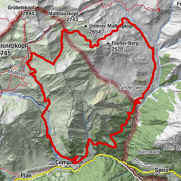
From country to country, from alp to alp: from Flisseralpe in Austria to Alp Bella in Switzerland.
- Difficulty
-
difficult
- Rating
-
- Starting point
-
PostBus stop Samnaun-Compatsch, adventure pool
- Route
-
Compatsch (1,715 m)Fließer Alpe5.8 kmMatschiberlesattel8.2 kmAlp Bella12.1 kmLaret (1,731 m)15.9 kmCompatsch (1,715 m)16.7 kmPfarrkirche St. Jakob16.7 km
- Best season
-
JanFebMarAprMayJunJulAugSepOctNovDec
- Description
-
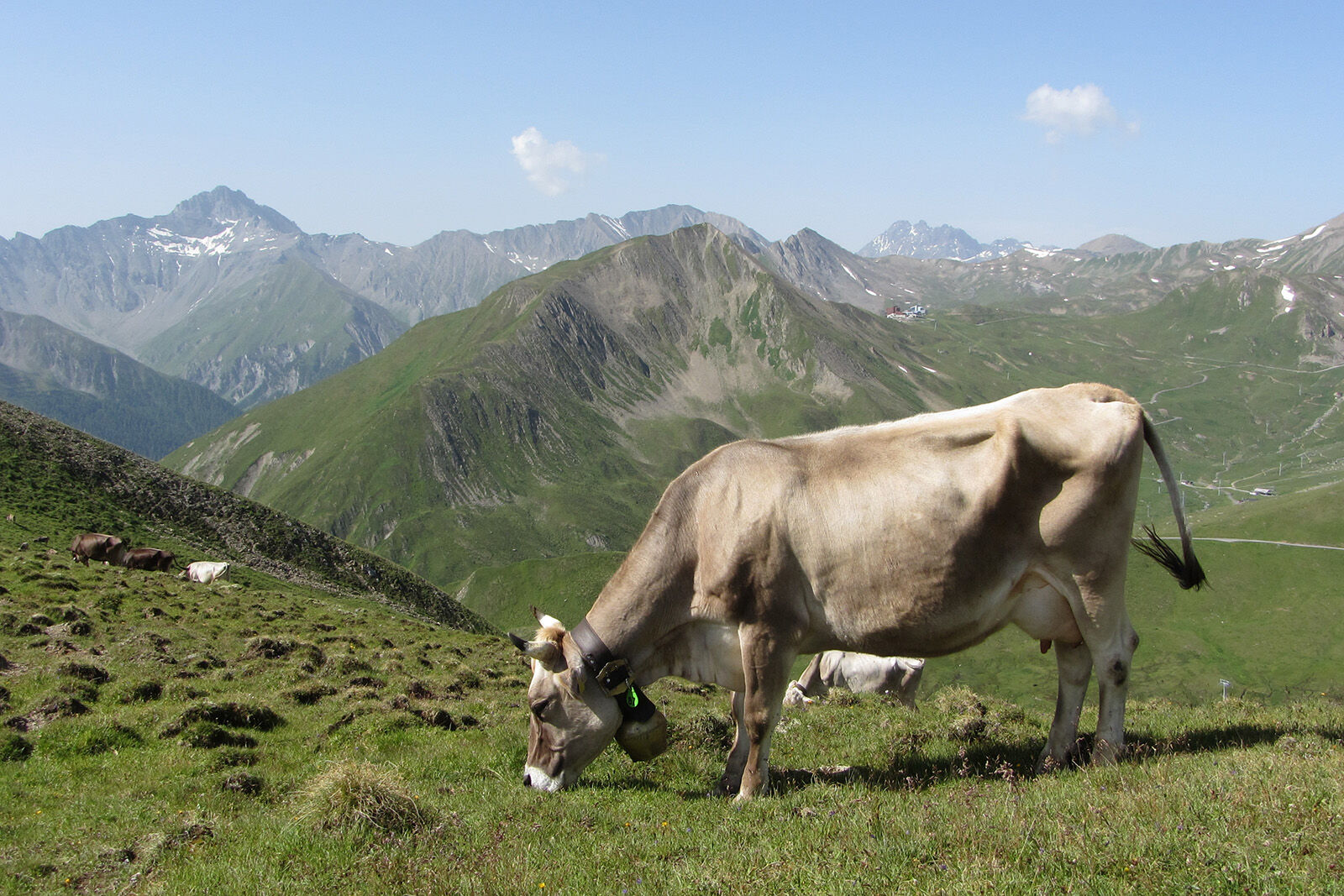
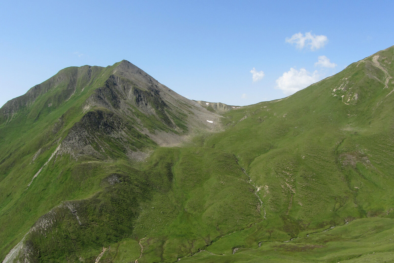
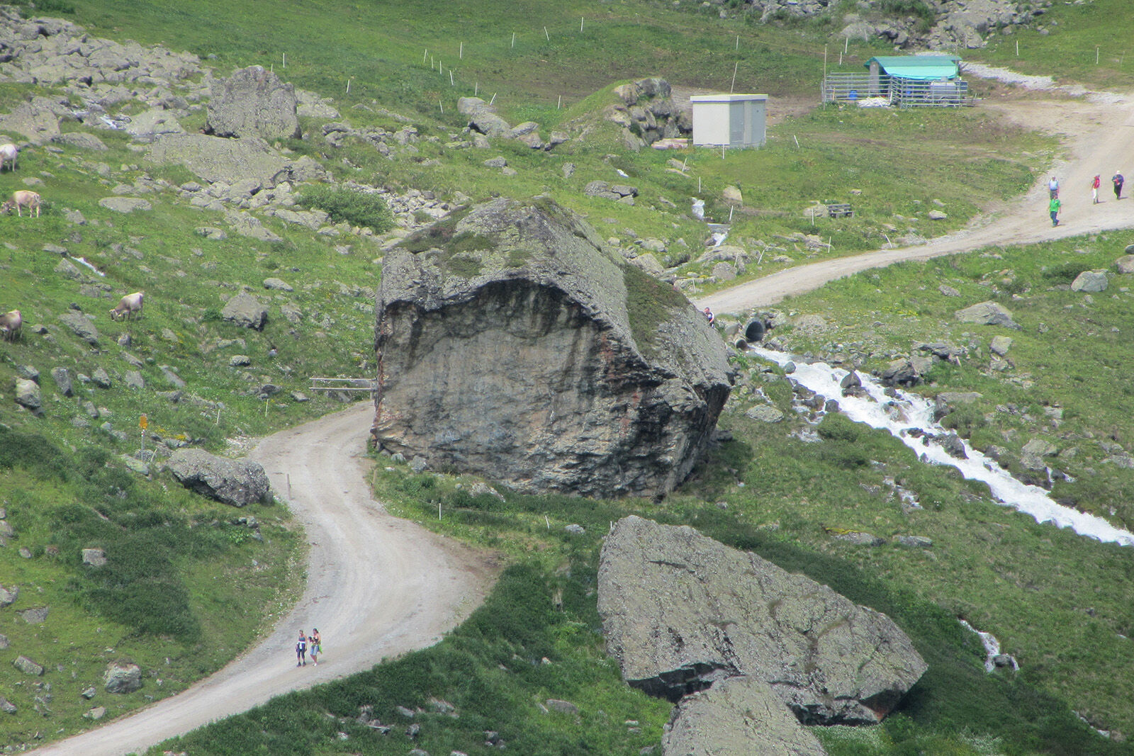
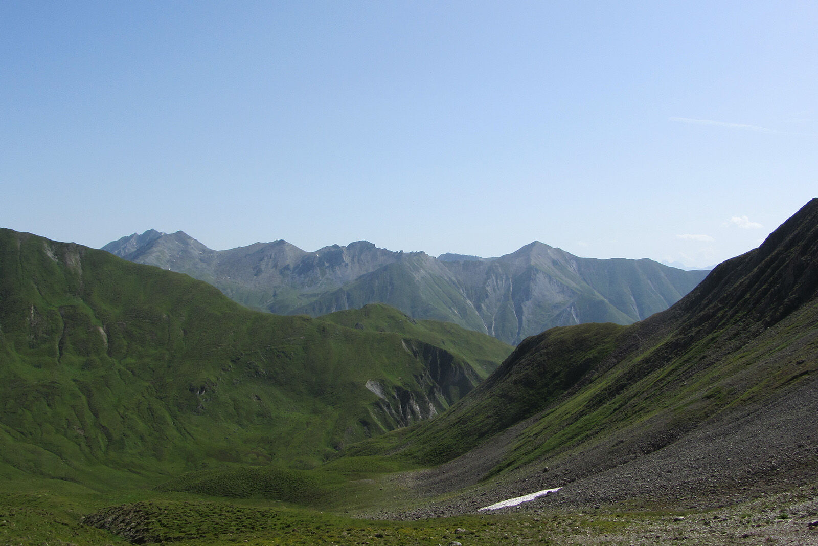
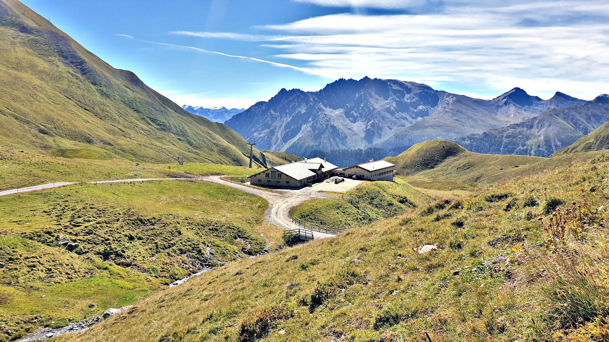
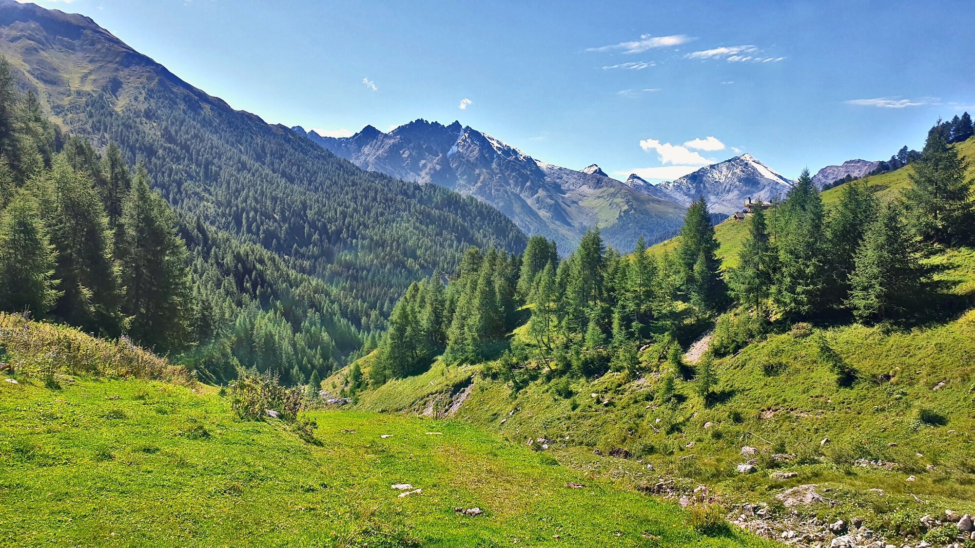
The hike begins in Samnaun-Compatsch at the late Gothic church of St. Jakobus and first leads along the culture trail into the Zander Valley. After crossing the border into neighbouring Tyrol, the hike climbs to the Fliesseralpe, where the alpine inn invites you to take a break. The hike continues via the Fliesser Stieralpe to the Matschiberlesattel. Here the view opens up into the Samnaun Valley, towards the Reschen Pass and the Oetztaler Alps. At Unter Malfrag the national border is crossed again, as you can see immediately from the different trail markings (Austria: red-white-red; Switzerland: white-red-white). At the Spatlasattel the panorama changes again, this time you can see the Swiss side of the Silvretta Arena, Samnaun's local mountain Muttler and the Fluchthorn to the west. On the descent to Alp Bella, the trail passes the round rock formation "bei der Kirche"; an impressive geological witness to the folding of the Alps. From Alp Bella, the descent continues to Unteralp, where the Alpstein, one of the largest boulders in Switzerland, lies. The route leads leisurely along the Mülbach stream back to Samnaun-Compatsch.
- Directions
-
From Samnaun-Compatsch along the culture trail into the Zander Valley
After the border crossing descent to Fliesseralpe
Via Flieser Stieralpe to the Matschiberlesattel
Further to Unter Malfrag and Spatlasattel
Descent to Alp Bella
Via Oberalp to Unteralp
Along the Mühlbach back to Samnaun - Highest point
- 2,538 m
- Endpoint
-
PostBus stop Samnaun-Compatsch, adventure pool
- Height profile
-
 © outdooractive.com
 - Equipment
-
Good shoes, rain and sun protection, water bottle, bandages.
- Safety instructions
-
The tour has been evaluated under favorable weather conditions. Current weather conditions and weather forecasts must be taken into account before the tour starts.
emergency call:
144 Emergency call, first aid
1414 Mountain rescue REGA
112 International emergency call
- Additional information
- Directions
-
- From the north: via Landquart - Klosters by car transport through the Vereina tunnel (Selfranga - Sagliains) Then take the H27 in the direction via Scuol and Martina to Vinadi. At the junction Vinadi to Samnaun (about 1 hour from Vereina Südportal)
- From the east: via the Inn valley road B180 via Landeck to Pfunds, junction Kajetansbrücke and via Spiss to Samnaun.
- From the south: via Reschenpass (Nauders) on B180 to Pfunds, junction Kajetansbrücke and via Spiss to Samnaun.
- Please note: If you travel to Samnaun, you need a valid travel document (passport, ID), because you will pass the customs in Martina resp. Spissermühle.
- Public transportation
-
- With the Rhaetian Railway (from Chur, Landquart/Prättigau or from the Upper Engadine) every hour to Scuol-Tarasp station
- Continue with the PostBus (from Scuol-Tarasp, or Martina, cunfin) every hour to the PostBus stop Samnaun-Compatsch, Erlebnisbad
- In Samnaun during the day hourly access with the Samnaunbus
- Parking
-
Free parking in Samnaun-Compatsch at the church and at the school
- Author
-
The tour Fliesseralpe and Alp Bella is used by outdooractive.com provided.