
- Brief description
-
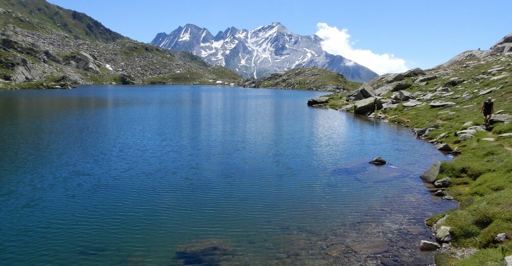
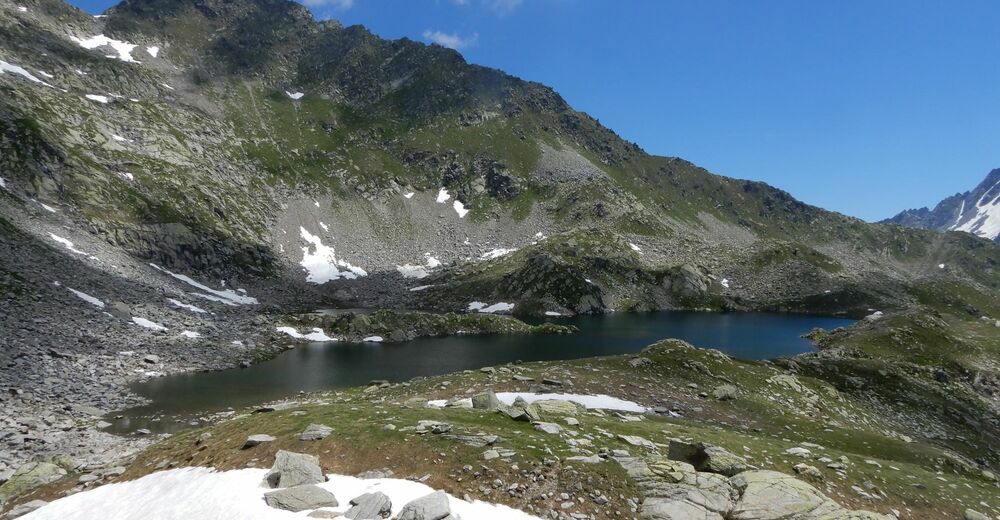
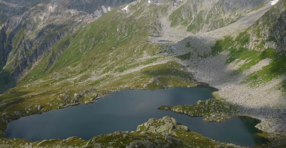
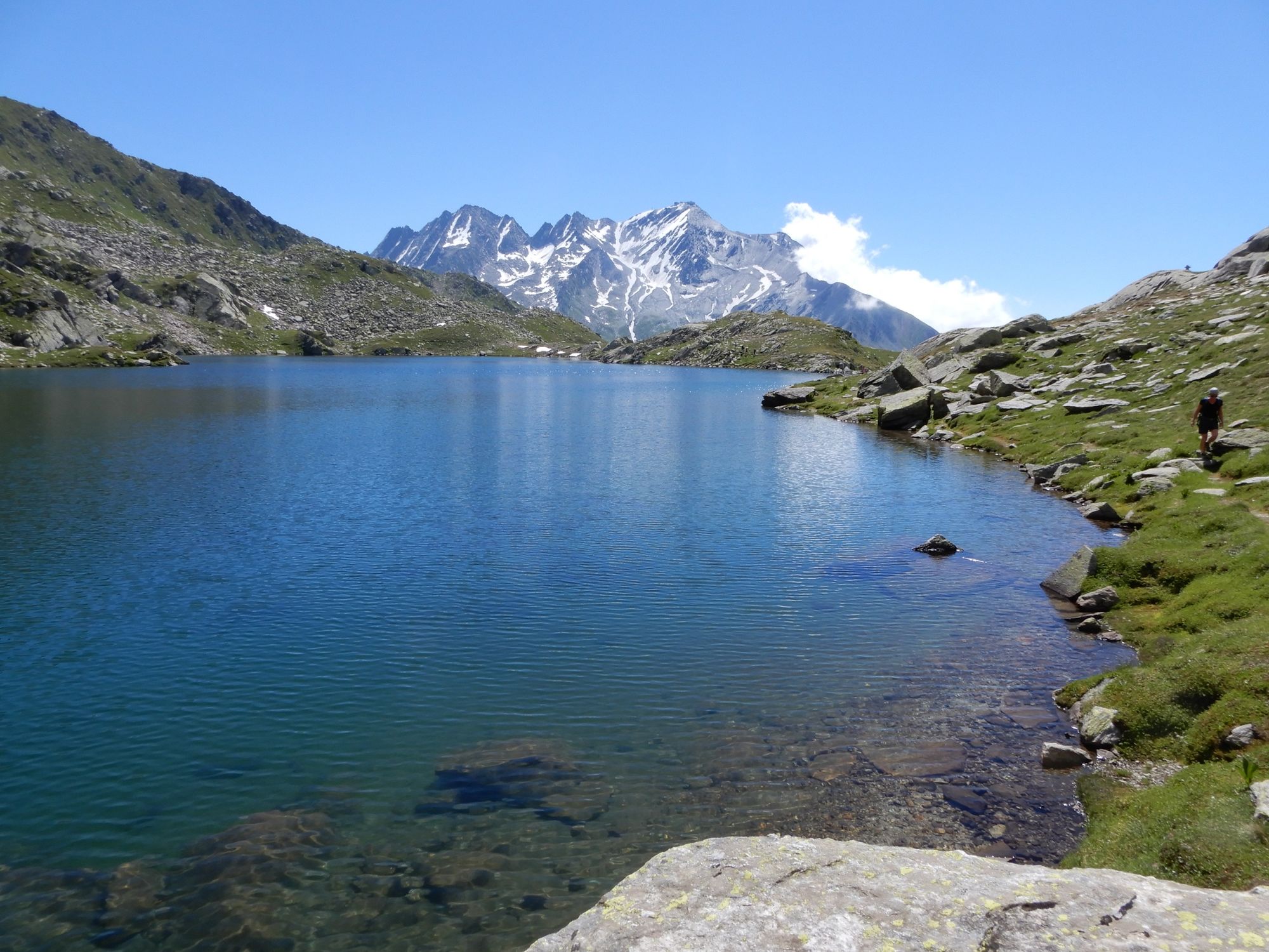
The Lai Blau on the Lukmanier Pass is as blue as the name suggests. T2
- Difficulty
-
medium
- Rating
-
- Starting point
-
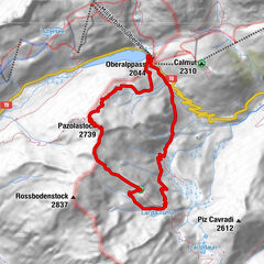
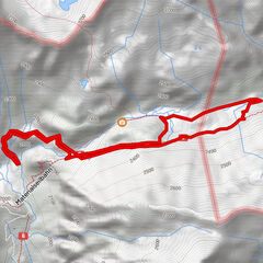
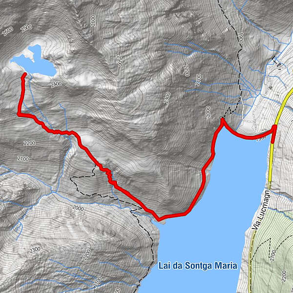
Lukmanierpass
- Best season
-
JanFebMarAprMayJunJulAugSepOctNovDec
- Description
-
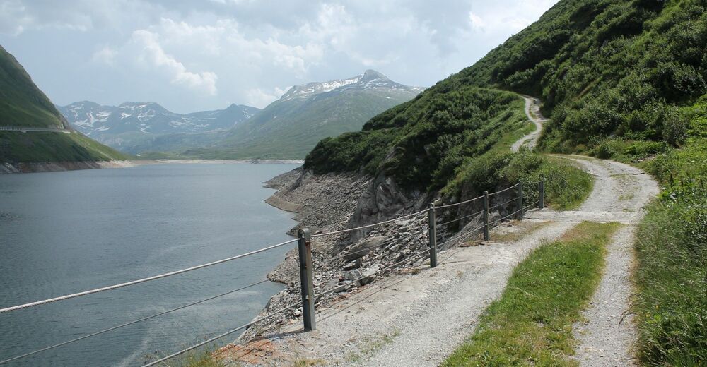
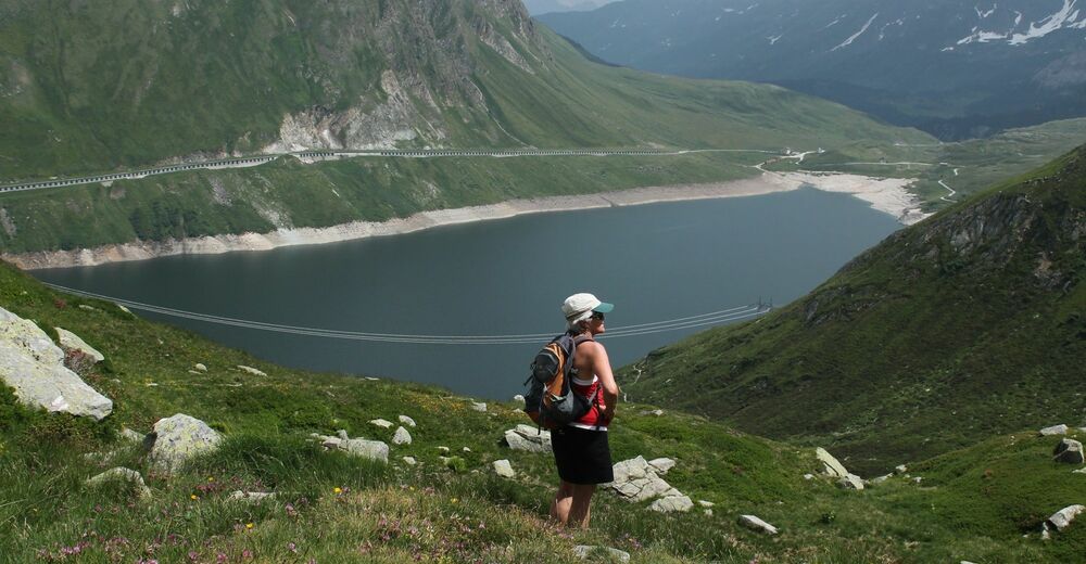
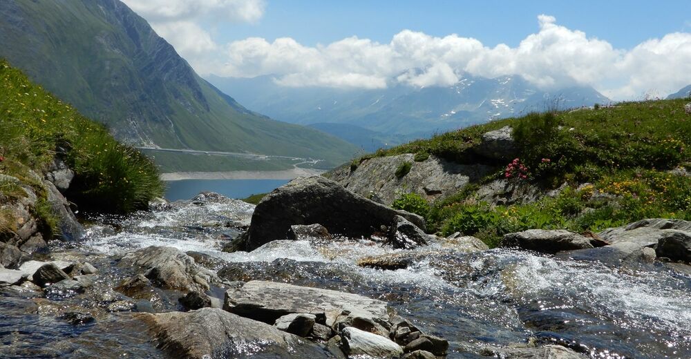
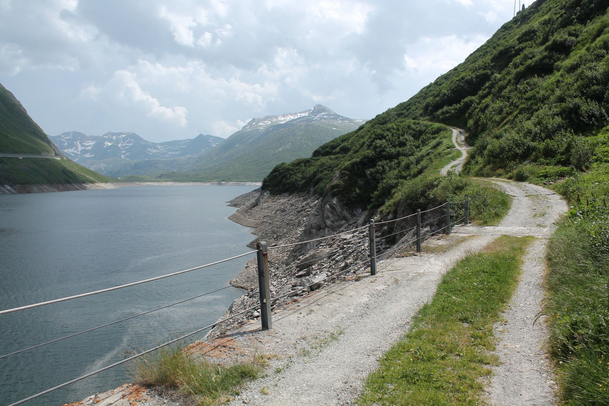
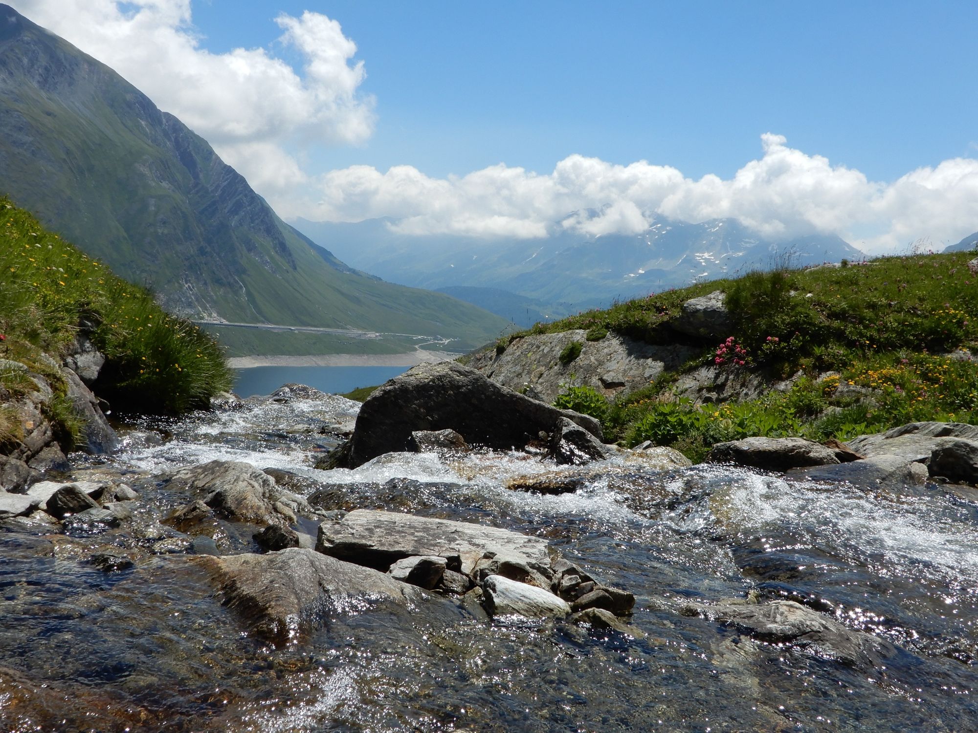
There is now a reservoir where the Alp Santa Maria with the first Marian hospice and chapel once stood.
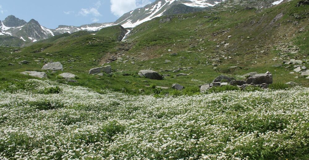
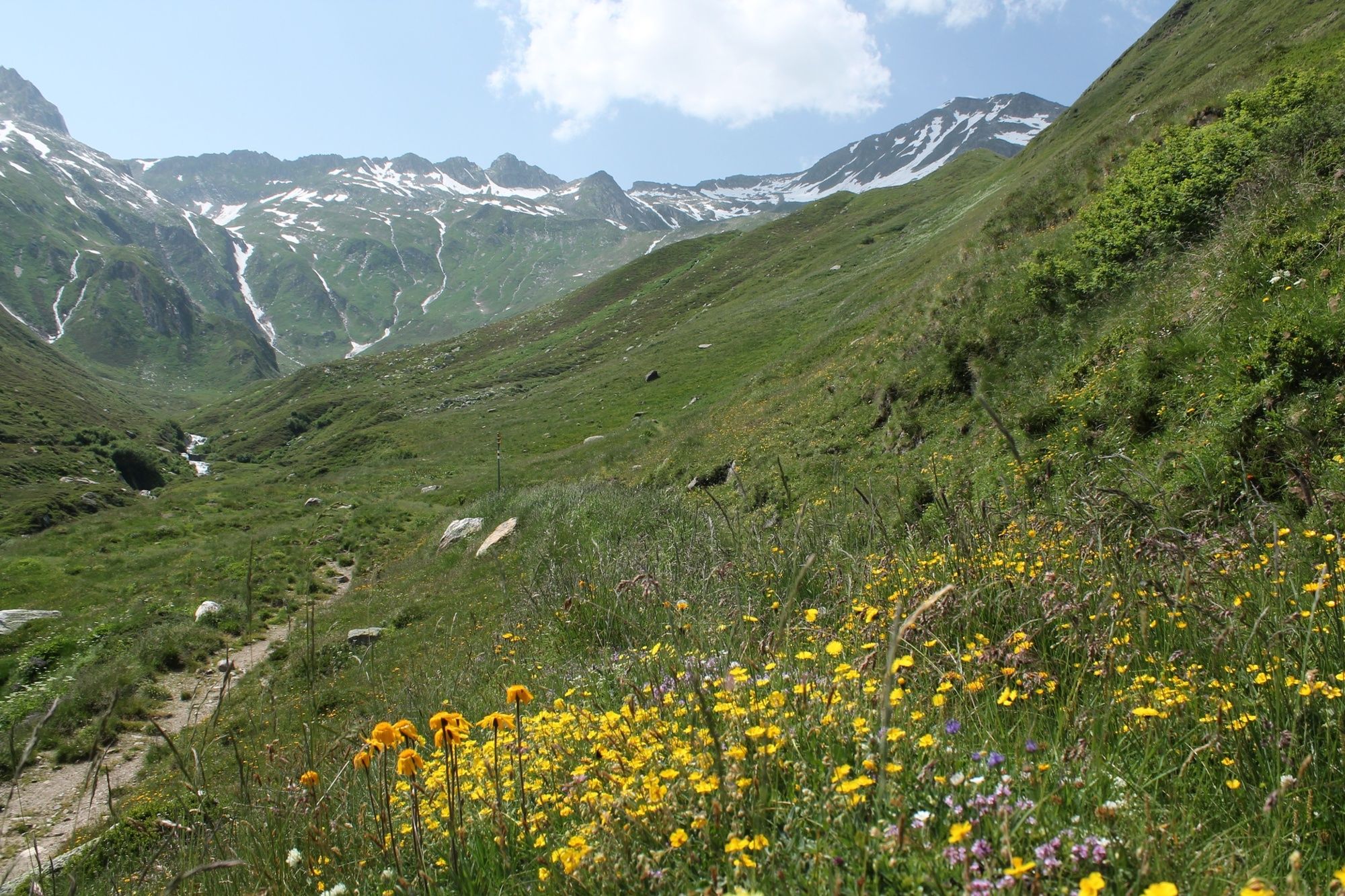
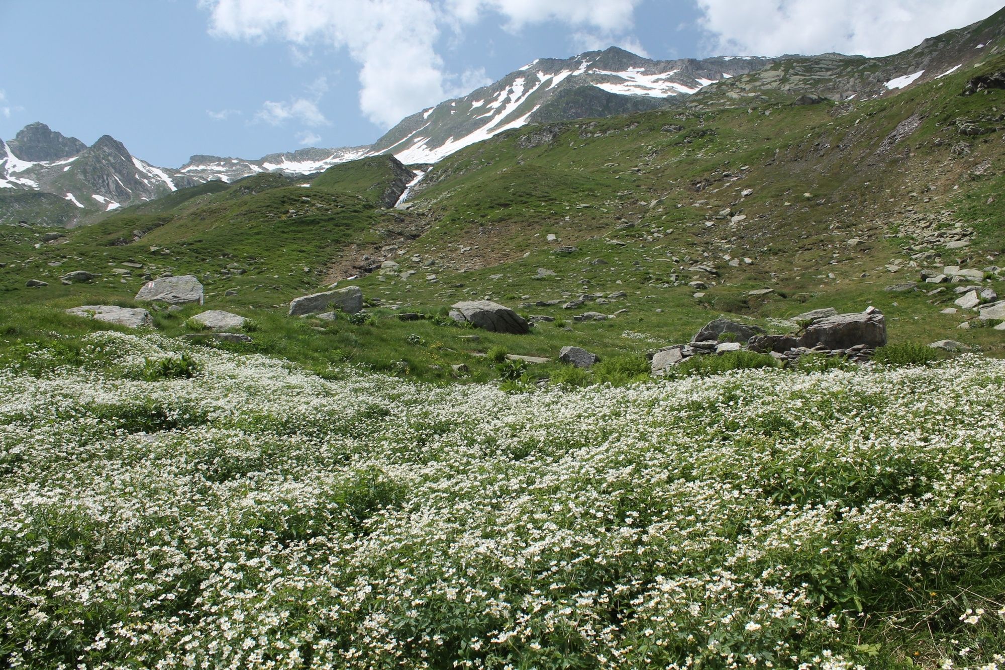
We start our hike at the top of the dam. The following road to Alpe Rondadura is ideal for warming up. Here we switch to a hiking trail that leads us steadily, and at times a bit steeply, upwards. We hike through flower meadows and we cross small streams. The mountain panorama is peppered with two three-thousander peaks. There is a military radar station on the Scopi, which is accessed by an aerial cableway, but cannot be used by the public. During the construction of the facilities, the originally nine meter higher summit was leveled. The Piz Rondadura closes the valley at 3016 meters in the southwest.
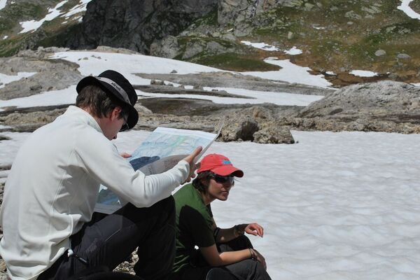
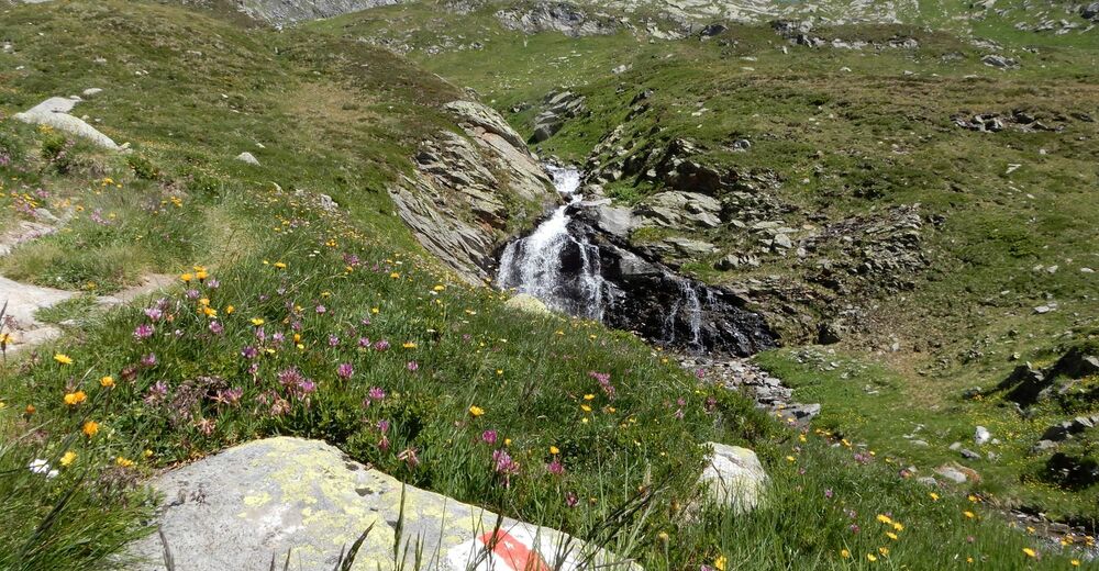
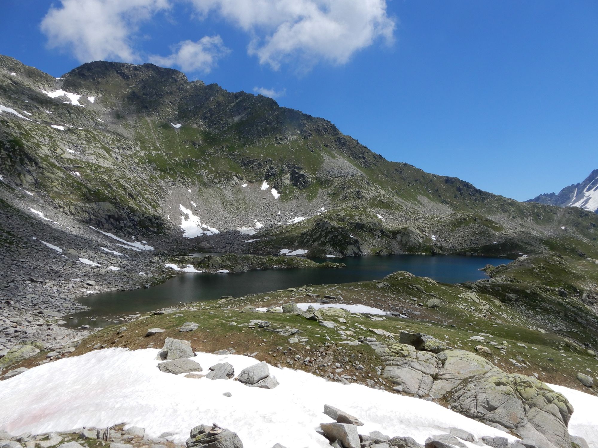
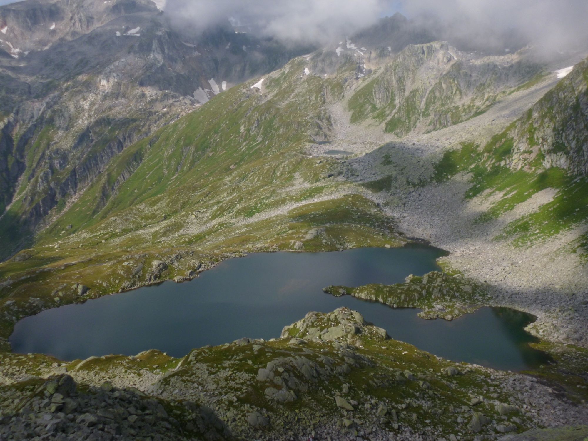
A bubbling mountain stream in front of us shows where the lake could be, but it hides until the end because it is beautifully embedded in a hollow. It can also be walked around over hill and dale. Or if you're not afraid of cold water, you can take a quick bath.
In addition to the reservoir crown, work on the gallery is currently underway. The hike can also start at Alp Stgegia.
- Highest point
- 2,392 m
- Endpoint
-
Lukmanierpass
- Height profile
-
 © outdooractive.com


-

-
AuthorThe tour Lai blau, Lukmanierpass is used by outdooractive.com provided.