© Tourismus Savognin Bivio Albula AG - @SeraGio_Fotografie

© Tourismus Savognin Bivio Albula AG - Luana Tscharner

© Tourismus Savognin Bivio Albula AG - @SeraGio_Fotografie
© Tourismus Savognin Bivio Albula AG - @SeraGio_Fotografie

© Tourismus Savognin Bivio Albula AG - @SeraGio_Fotografie

- Brief description
-
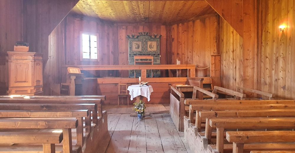
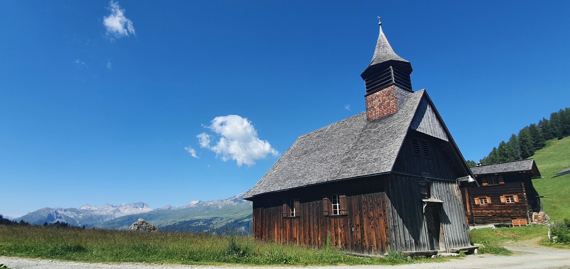
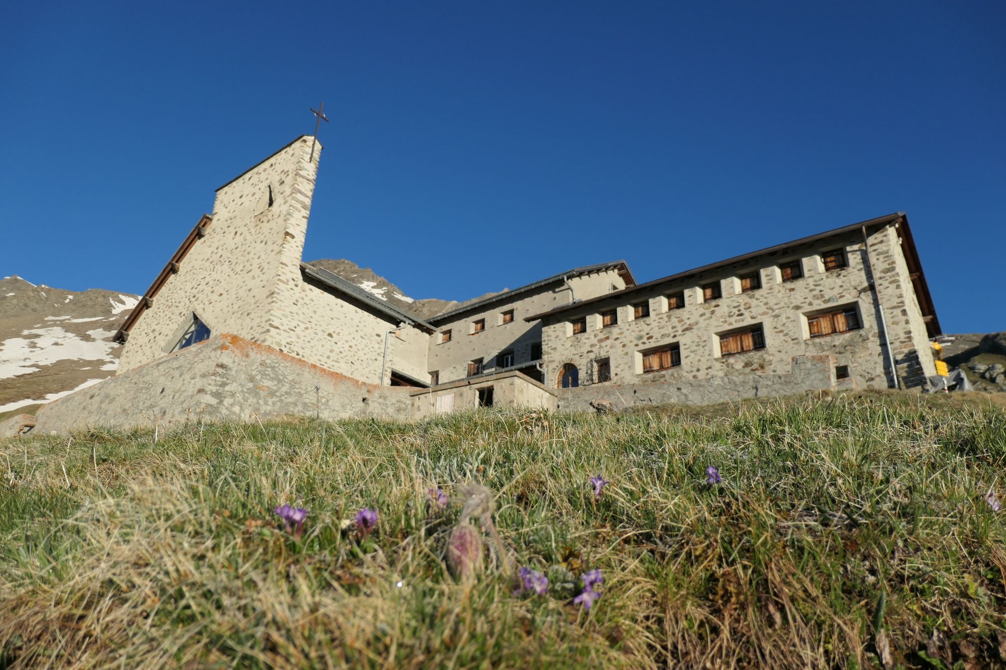
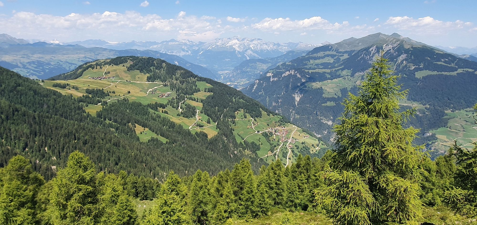
Eine lohnenswerte Tour mit fantastischer Aussicht vorbei an der höchstgelegensten Wallfahrtskirche Europas 2429 m.
- Difficulty
-
medium
- Rating
-
- Route
-
Munter (1,952 m)Furcletta (2,347 m)3.1 kmKirche Ziteil3.6 kmCher11.2 kmObermutten12.0 km
- Best season
-
JanFebMarAprMayJunJulAugSepOctNovDec
- Highest point
- 2,479 m
- Endpoint
-
Obermutten
- Height profile
-
 © outdooractive.com
- Author
-
The tour Munter - Ziteil - Obermutten is used by outdooractive.com provided.
GPS Downloads


General info
Refreshment stop
A lot of view
Other tours in the regions
-
Viamala
790
-
Val Schons
129