
- Brief description
-
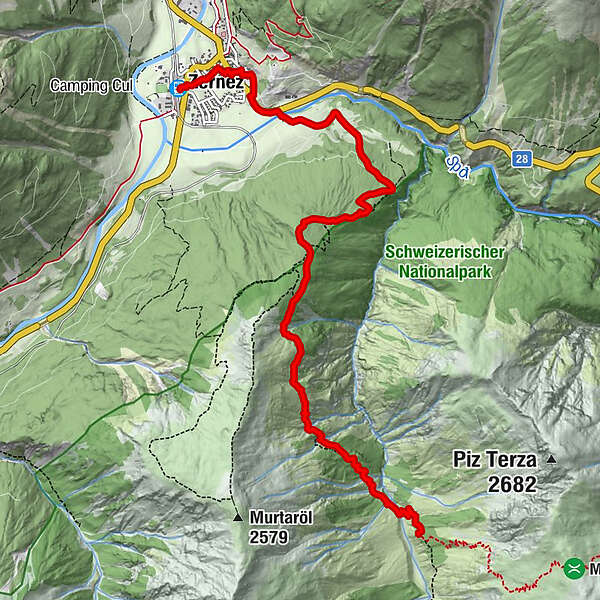
Second stage of the multi-day National Park Hiking Tour. Hike from Zernez into the wild Val Cluozza to the only SAC hut in the Swiss National Park.
- Difficulty
-
medium
- Rating
-
- Starting point
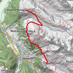
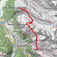
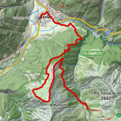
-
Station Zernez
- Route
-
Zernez (1,471 m)0.0 kmZernez (1,474 m)0.3 kmHotel Pizzeria SELVA1.1 kmChamanna Cluozza (1,882 m)8.0 km
- Best season
-
JanFebMarAprMayJunJulAugSepOctNovDec
- Description
-
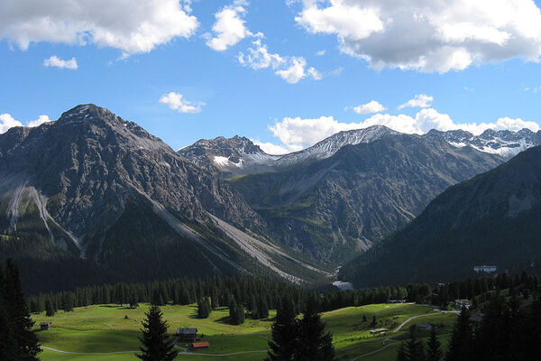
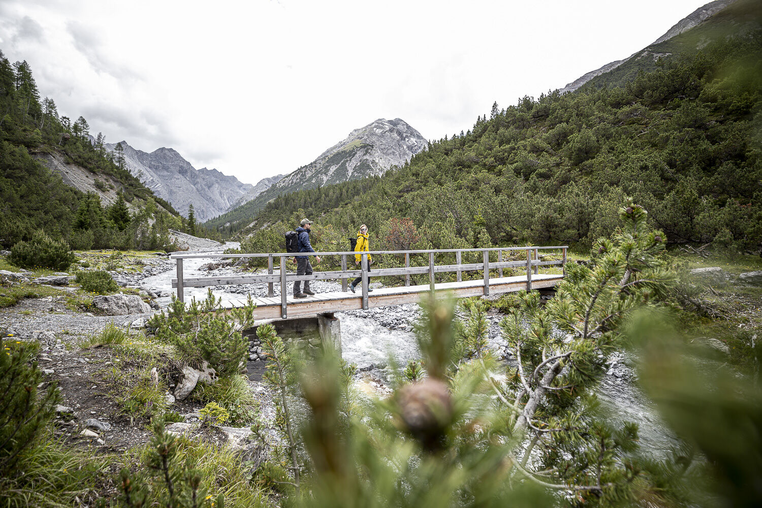
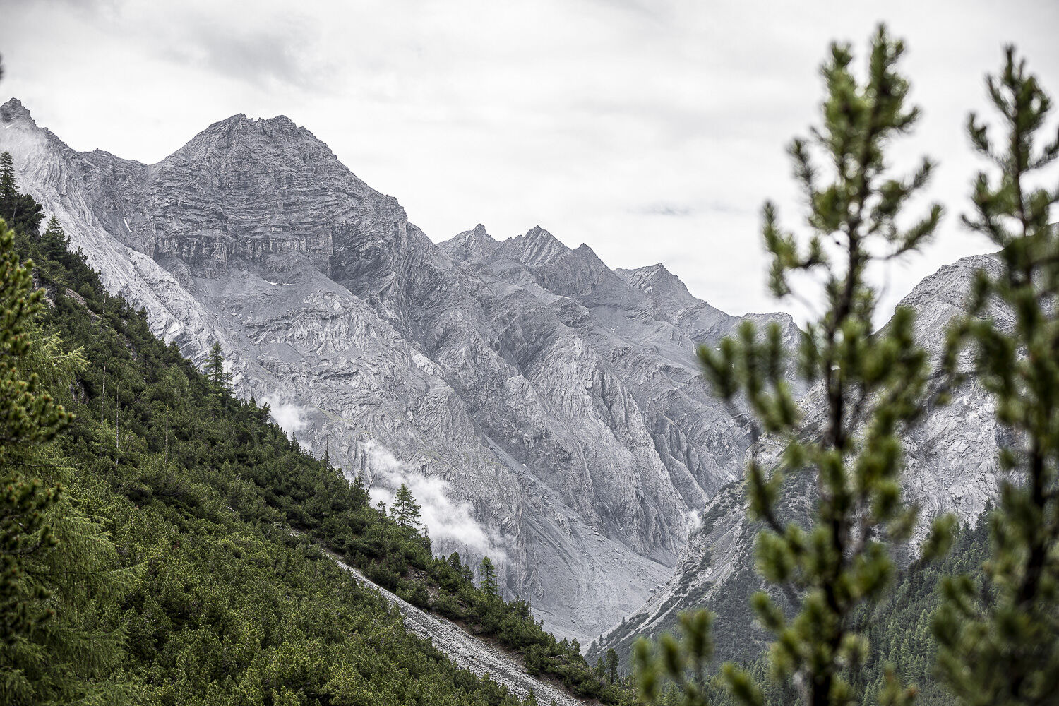
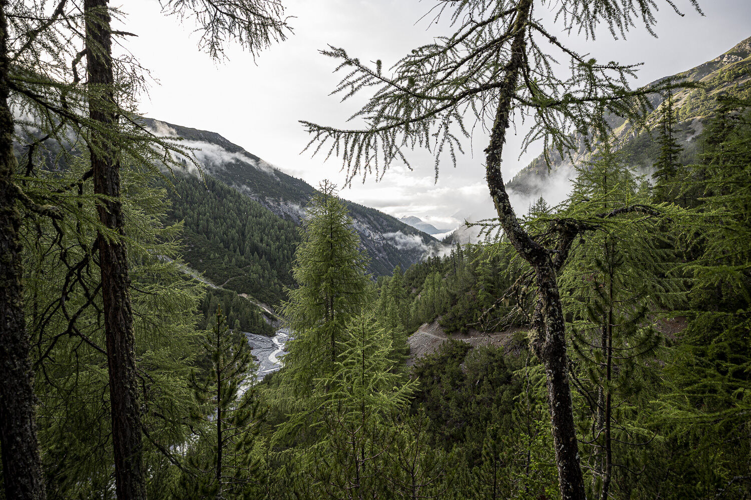
Before setting off on the National Park Hiking Tour, the National Park Centre in Zernez offers the opportunity to learn everything there is to know about the Swiss National Park. From Zernez, the first stage leads eastwards towards the Ofen Pass and outside the village at the covered wooden bridge over the Spöl. From there, continue over old farmland terraces and through a sparse larch forest to the entrance to the Val Cluozza. The path now becomes steep. The path zigzags steadily upwards, passing viewpoints that offer views of the Cluozza valley and the Quattervals massif. At the "II Prà" waypoint, the trail branches off to the south. Extensive stands of Scots pine are crossed and now and then a glimpse into the depths of the Cluozza gorge can be dared. The trail continues downhill and after crossing some old pine-larch mixed forests, you soon reach the stream where you cross the Ova da Cluozza over the wooden bridge. From there it's another 80 metres or so uphill to the idyllic destination of the day, Chamanna Cluozza.
Note: Dogs are not allowed in the Swiss National Park, not even on a lead. Further information on this and all protection regulations can be found at nationalpark.ch/protectionregulations.
- Directions
-
From Zernez eastwards towards Ofenpass
Outside the village over the river Spöl (wooden bridge)
Follow path first across meadows
In the forest towards Prasüra and Il Grass
Keep left at the forks
Shortly after Il Grass to the stage destination Chamanna Cluozza
- Highest point
- 2,130 m
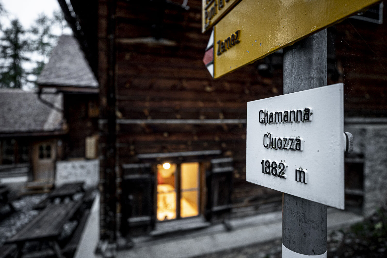
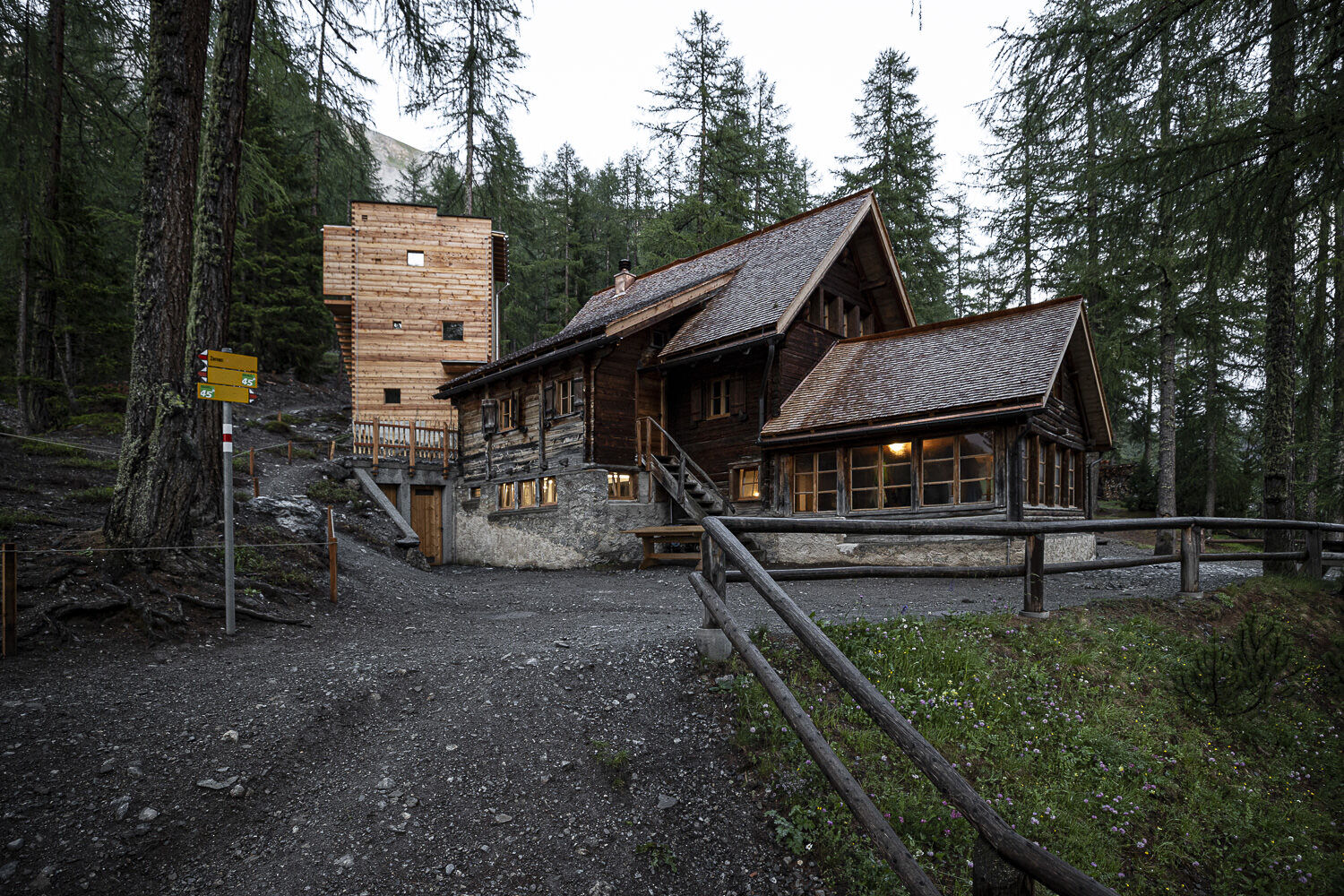
- Endpoint
-
Hut Chamanna Cluozza
- Height profile
-
 © outdooractive.com
 - Equipment
-
Solid shoes, rain and sun protection, water bottle, first aid kit
- Safety instructions
-
The tour was evaluated in favourable weather conditions, it is mandatory to take into account the current weather conditions and weather forecasts before starting the tour. This hike does not require any Alpine experience.Hiking boots are recommended.
Emergency call:
144 Emergency, First Aid
1414 Mountain rescue REGA
112 International emergency call
- Additional information
-
The whole tour can be booked as a sustainable package. Experience a varied mix of offers in the National Park region see engadin.com/aventuera-chamanna-cluozza
- Directions
-
- From the north: via Landquart - Klosters by car transport through the Vereina Tunnel (Selfranga - Sagliains) or via the Flüela Pass into the Lower Engadine on H27
- From the east: via Landeck / Austria in the direction of St. Moritz on H27
- From the south: via Reschenpass (Nauders-Martina) or Ofenpass (Val Müstair-Zernez) on H27
Zernez is located directly on the Ofenpass and on the Engadine road H27 (10 minutes drive from Vereina south portal.
- Public transportation
-
- By train (from Chur, Landquart/Prättigau, from Upper-Engadine or from Scuol) hourly to Zernez
- By post bus (from Mals and Val Müstair) hourly to Zernez
- Parking
-
- free parking at the station Zernez
- free parking below the national parc visitor centre
- Author
-
The tour Zernez – Chamanna Cluozza is used by outdooractive.com provided.


General info
-
Biosfera Val Müstair
566
-
Zernez
138