
- Brief description
-
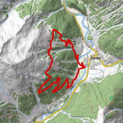
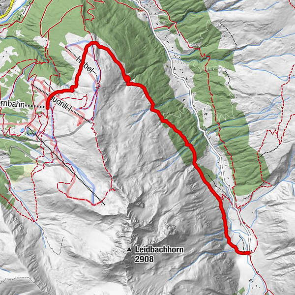
This hiking route starts at the Rinerhorn mountain station and leads along a beautiful and varied hiking trail into the picturesque Sertig valley.
- Difficulty
-
medium
- Rating
-
- Starting point
-
Rinerhorn mountain station
- Route
-
Jatzmäder (2,054 m)Jatzmeder (2,060 m)0.0 kmWunder-Bar (2,054 m)0.1 kmBergrestaurant Jatzmeder (2,054 m)0.1 kmÄbirügg (2,107 m)1.6 kmWalserhuus7.2 km
- Best season
-
JanFebMarAprMayJunJulAugSepOctNovDec
- Description
-
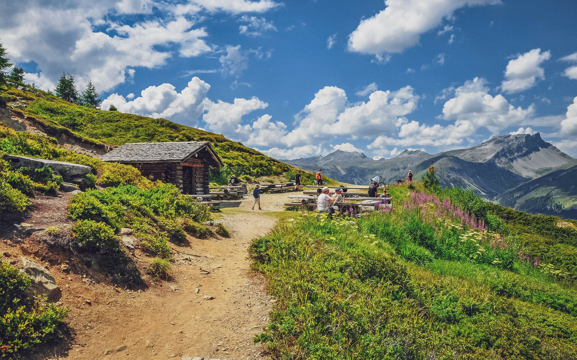
he starting point of the hike is the mountain station of the Rinerhorn cable car. The route leads for the first one and a half kilometres on a wide forest path to the barbecue site at Abirügg. The first part to the barbecue site can also be done with a pram.
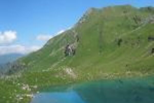
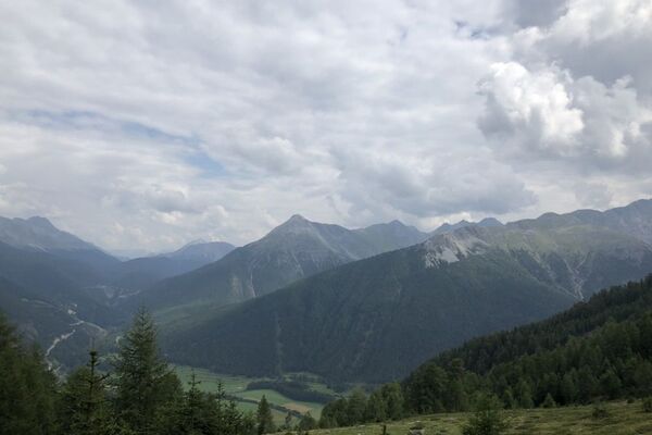
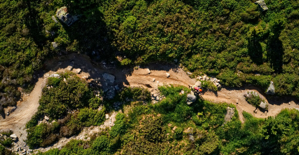
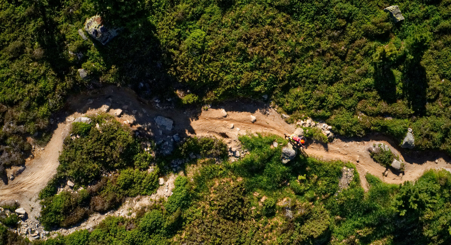
At Äbirügg you have a unique view over the whole of Davos. After that, the trail becomes narrower and stonier towards the valley. The route is lined with small mountain streams and beautiful flora and fauna. This trail is also very popular with bikers.
After a good 1.5 hours you reach the old Walser settlement of Sertig-Dörfli, where two restaurants await you for refreshments.
- Highest point
- 2,103 m
- Endpoint
-
Davos, Sertig
- Height profile
-
 © outdooractive.com
 - Equipment
-
Good footwear. Depending on the weather, rain protection is recommended.
- Tips
-
From Sertig you can take the bus back to Davos or walk along the hiking trail towards Clavadel and then back to Davos Platz.
- Author
-
The tour Rinerhorn - Sertig Dörfli is used by outdooractive.com provided.


General info
-
Davos Klosters
927
-
Davos Schatzalp
215