- Brief description
-
Popular hike from village to village, with refreshments. T1
- Difficulty
-
easy
- Rating
-
- Route
-
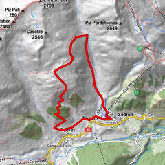
CamischolasSedrun (1,441 m)0.0 kmSedrun0.7 kmCaplutta S. Giusep1.6 kmBugnei1.6 kmCurschettas4.4 kmMumpé Tujetsch4.6 kmSum Craps4.8 kmBegl da Trutg5.0 kmMuschnei5.5 kmVal Sut5.6 kmPlauncas Sut5.7 kmUstria Cresta6.0 kmSegnas6.1 kmPeisel6.5 kmGlaretsch6.8 kmBuretsch7.3 kmCuoz7.4 kmPrau7.8 kmBaselgia S. Gion9.0 kmDisentis9.2 kmDisentis (1,130 m)9.4 kmRaveras9.4 km
- Best season
-
JanFebMarAprMayJunJulAugSepOctNovDec
- Description
-
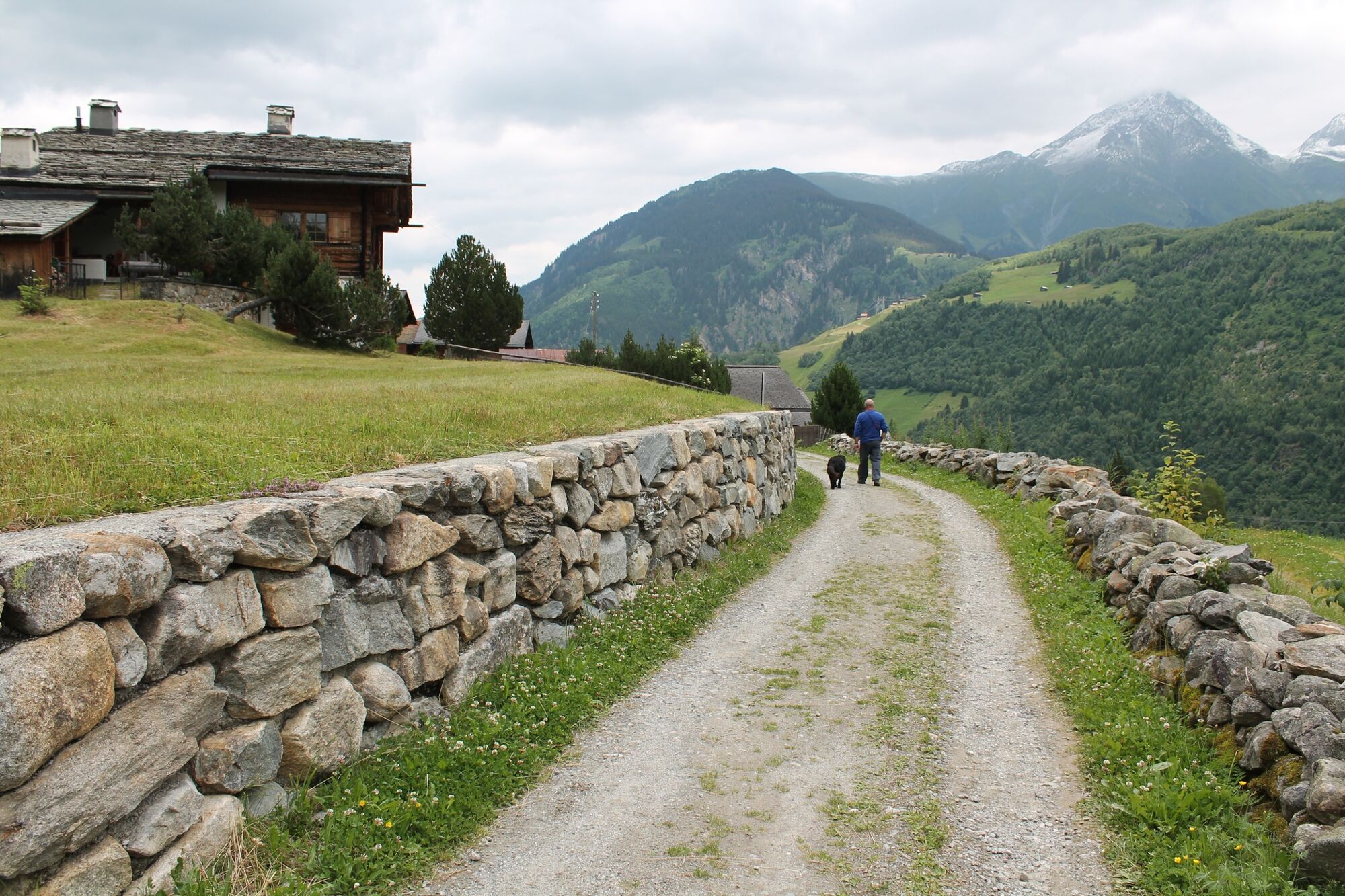
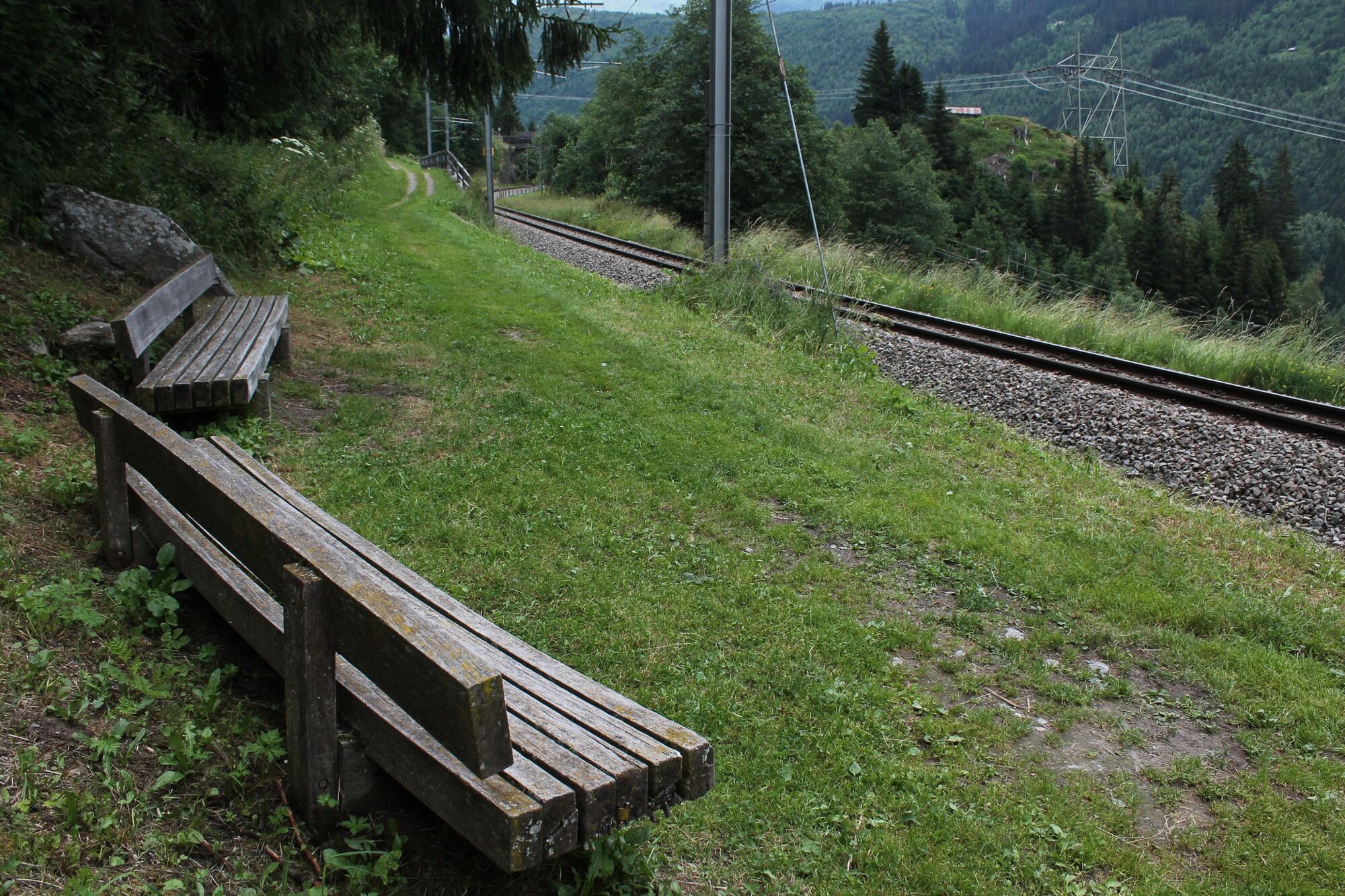
The wide hiking trail between Sedrun and Disentis, or vice versa, is popular with leisurely hikers, joggers and Nordic walkers. On the way there are always places to sit and those who don't want to walk the whole distance can shorten it at three different stops to return to the starting point with the Matterhorn Gotthard Railway.
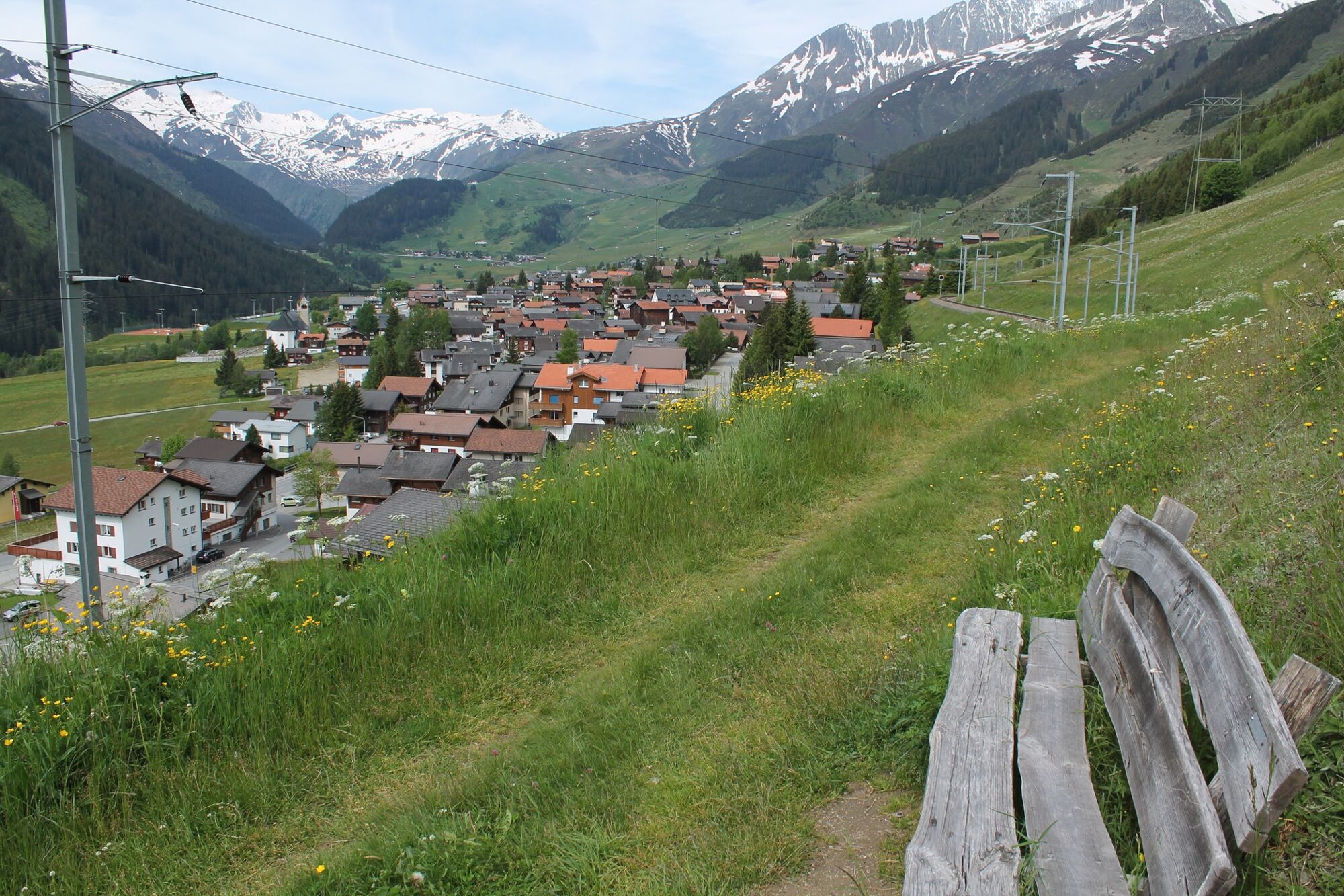
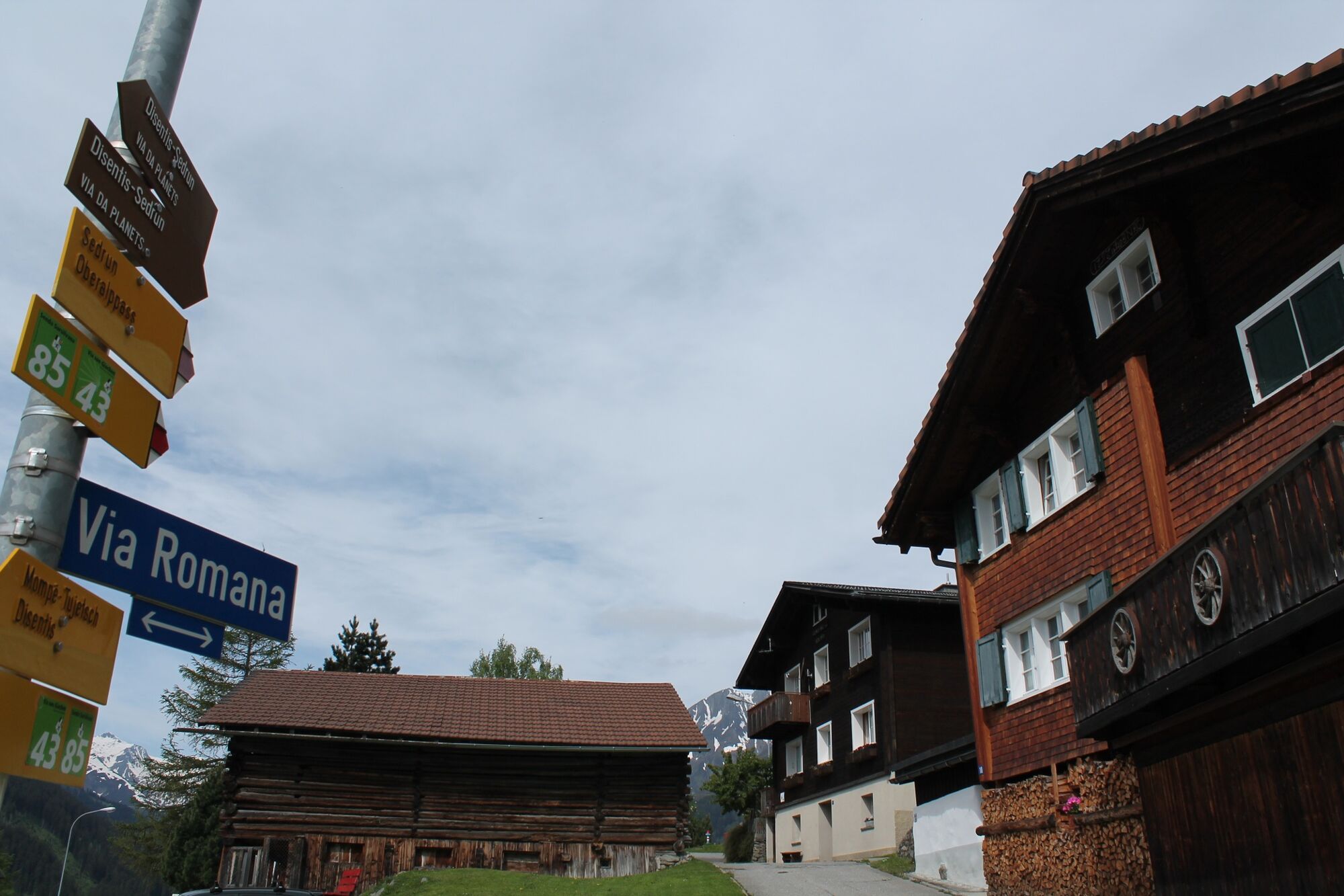
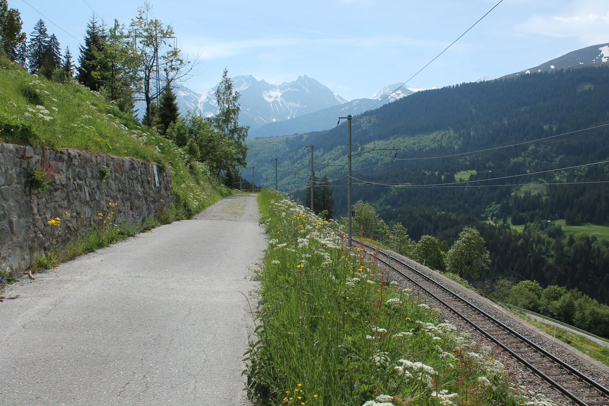
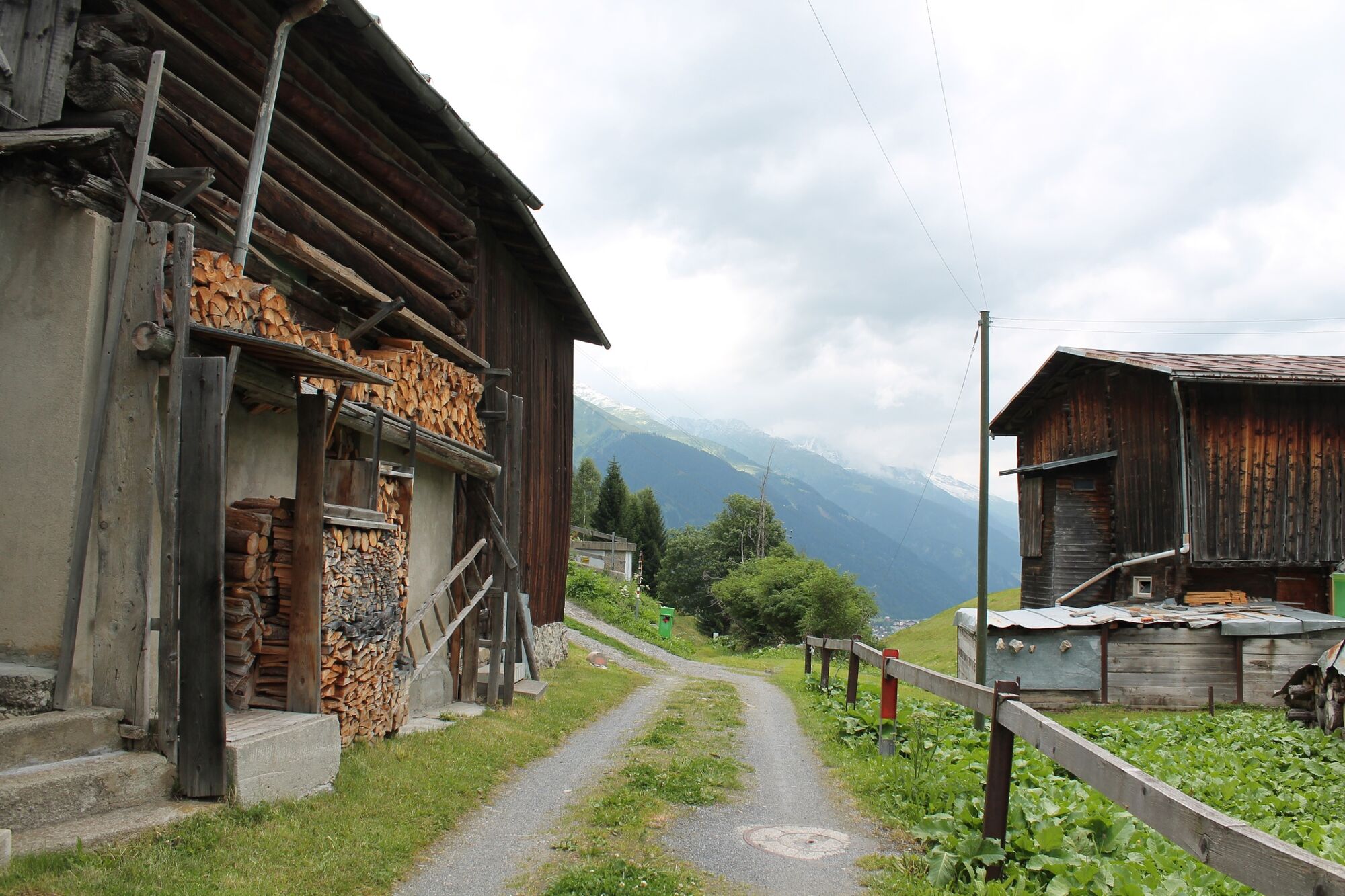
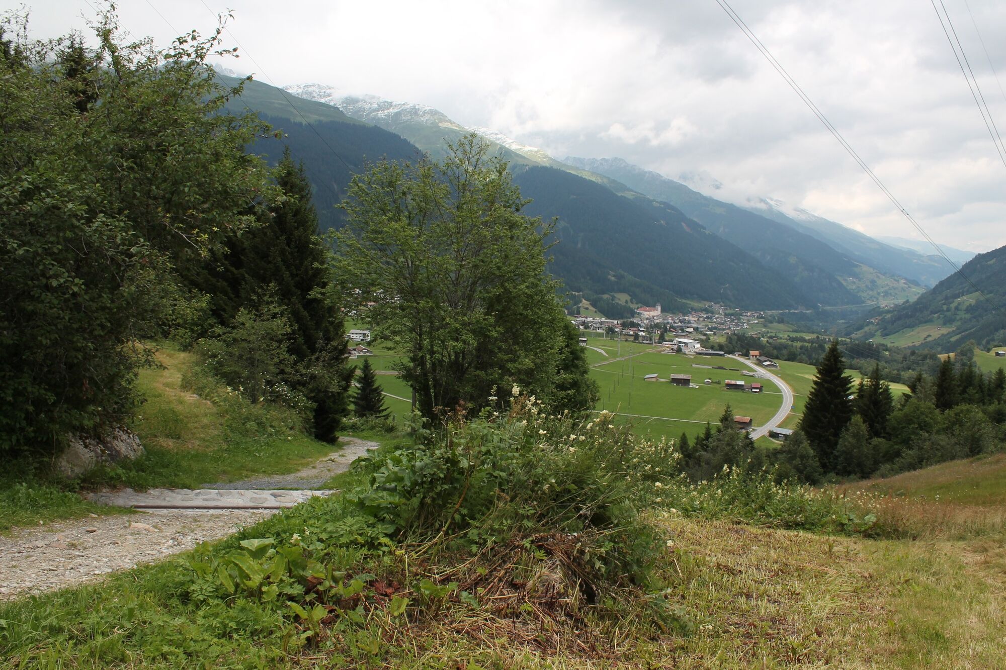
We start hiking at Sedrun station, sometimes below, then again above the railroad line. Over an imposing viaduct we reach Bugnei. Passing an old village fountain we make a small turn through this fraction via the Via Romana. We continue hiking along the sunny and mostly windless side of the valley until Mompé Tujetsch where the valley opens up and we can see to Disentis and up to the Flimserstein.
In Segnas we sit down at the Ustria Cresta on the sunny terrace and we let ourselves be served a refreshment. While roaming through Segnas we take our time to look at the old, very well-kept Walser houses and gardens. Via Cuoz we reach Disentis train station on roads and paths with little traffic.
- Highest point
- 1,453 m
- Endpoint
-
Disentis
- Height profile
-
 © outdooractive.com


-

-
AuthorThe tour With baby carriage from Sedrun to Disentis is used by outdooractive.com provided.


General info
-
Uri
1548
-
Disentis Sedrun
515
-
Tujetsch
160