
- Brief description
-
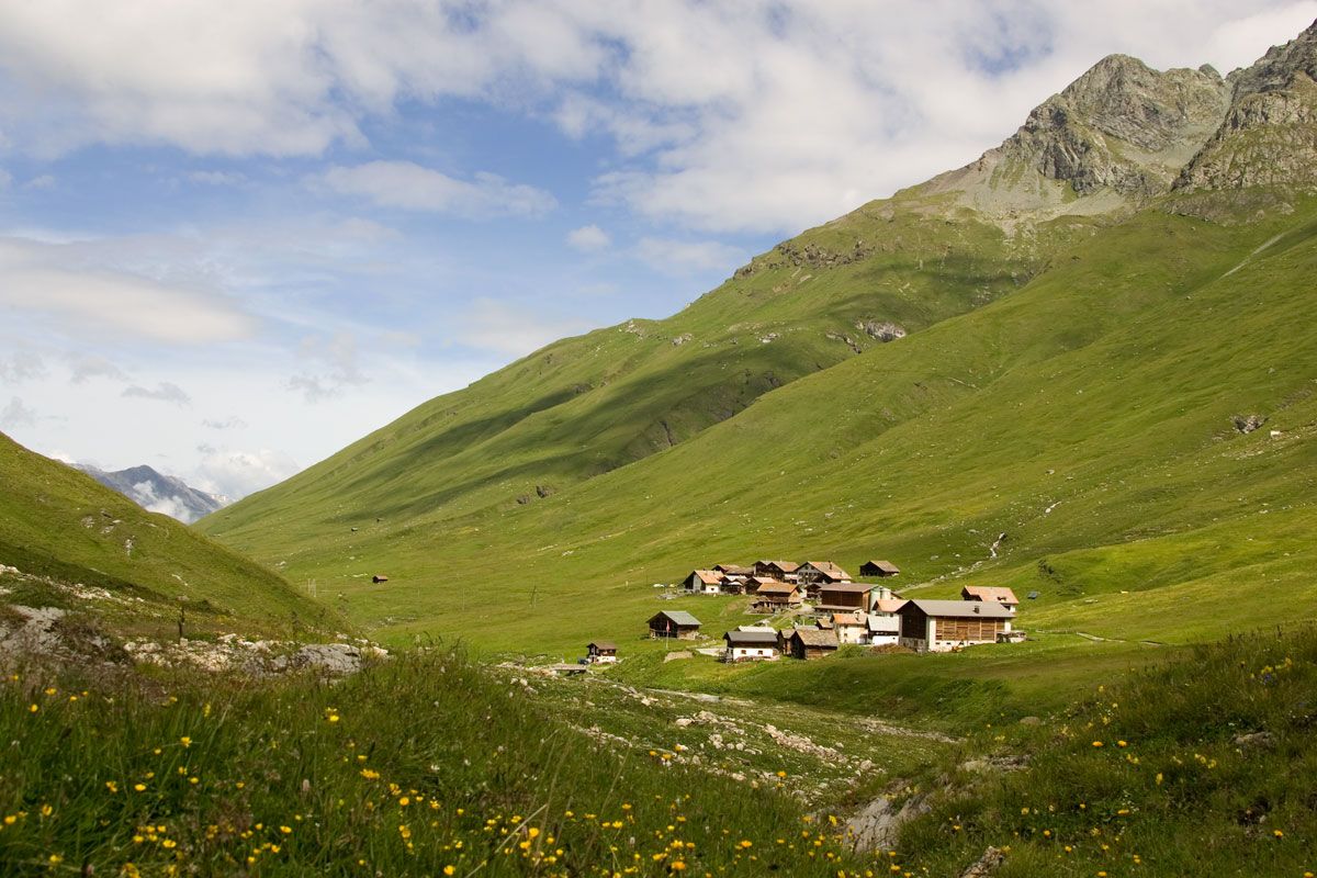
Eine aussichtsreiche Tour zu der höchstgelegensten ganzjährig bewohnte Siedlung der Schweiz.
In Tga/Val Faller muss von anfangs Juni bis mitte September mit Mutterkühen gerechnet werden.
- Difficulty
-
medium
- Rating
-
- Route
-
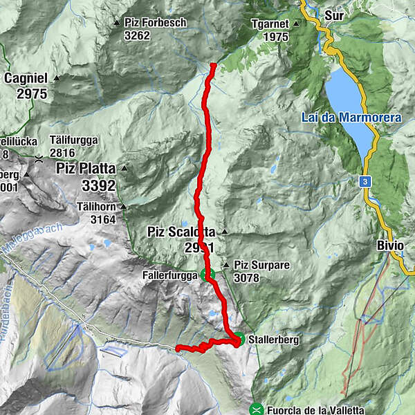
TgaJuf (2,126 m)10.6 kmGasthaus Alpenrose10.7 km
- Best season
-
JanFebMarAprMayJunJulAugSepOctNovDec
- Highest point
- 2,833 m
- Endpoint
-
Juf
- Height profile
-
 © outdooractive.com
- Author
-
The tour Tga (Val Faller) - Juf is used by outdooractive.com provided.
GPS Downloads


General info
Refreshment stop
A lot of view
Other tours in the regions
-
Veltlin / Valtellina
852
-
Val Surses
824
-
Bivio
179