
- Brief description
-
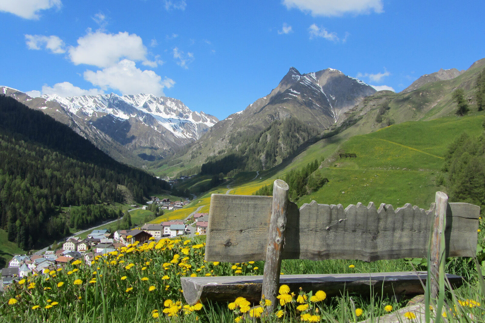
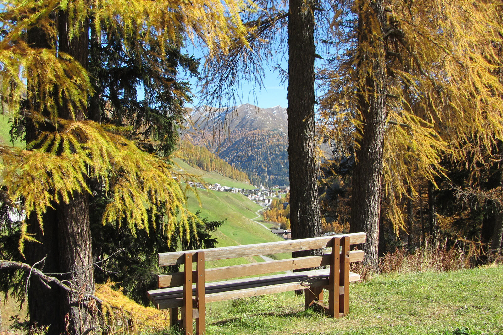
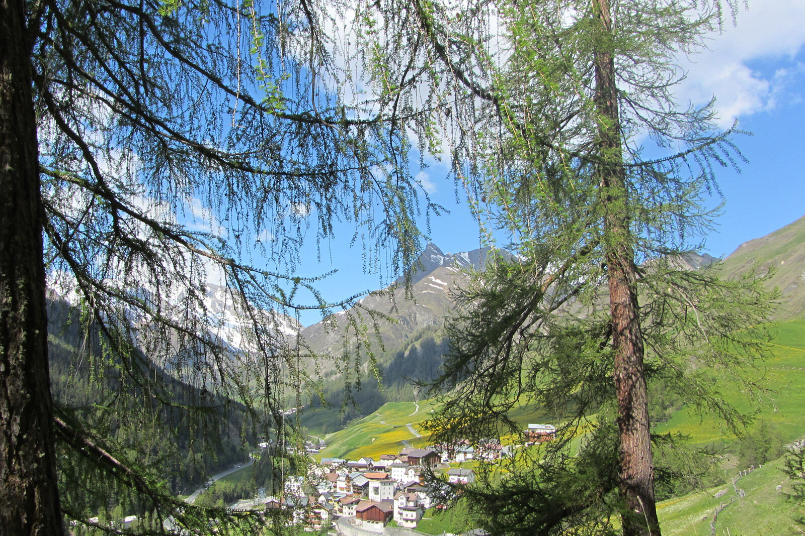
Panorama path on the sunny side of the Samnaun valley.
- Difficulty
-
easy
- Rating
-
- Starting point
-
PostBus stop Samnaun village, Riva
- Route
-
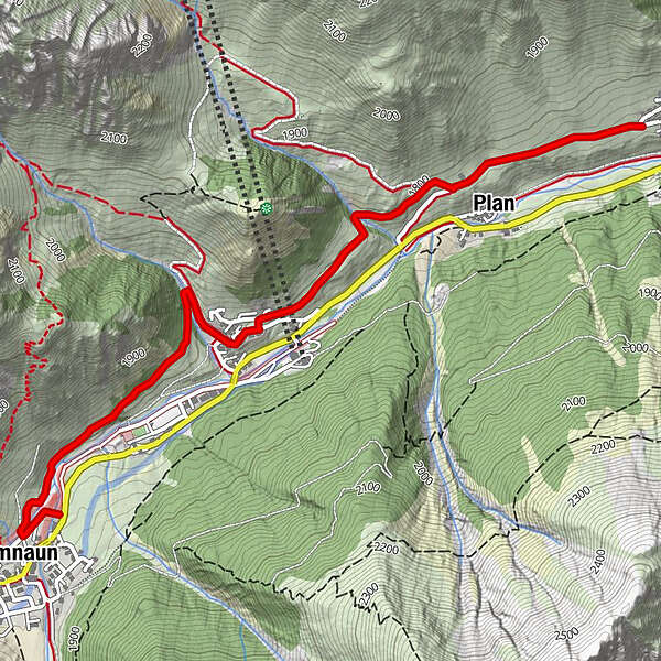
Samnaun (1,846 m)0.2 kmHotel Restaurant Soldanella1.6 kmHotel Restaurant Sonneck1.7 kmRavaisch (1,799 m)1.7 kmPlan (1,725 m)3.1 kmLaret (1,731 m)3.7 km
- Best season
-
JanFebMarAprMayJunJulAugSepOctNovDec
- Description
-
The start at the entrance to Samnaun village is on the Musella road over the Maisasbach. About 100 m after the left bend there is a footbridge over the Schergenbach. First the path leads a few metres along the Schergenbach, then it rises slightly and reaches the larch forest Pra da Tea. It continues through the village centre of Samnaun-Ravaisch, after the chapel on the left. Over the pastures of Muttauna one reaches the Salaaserbach and then Salatsch, where two modern stables are located. Parallel to the little road the panorama path leads towards Samnaun-Laret and then through the old village centre of Samnaun-Laret.
- Directions
-
From Samnaun village follow the road to Musella
Crossing the stream
After the left bend over the pedestrian bridge
Follow the path until Samnaun-Ravaisch
Through the village center to the chapel
Turn left
Follow the path to the stream and two stables
Follow the panorama path (parallel to the road) to Samnaun-Laret - Highest point
- 1,823 m
- Endpoint
-
PostBus stop Samnaun-Compatsch, adventure pool
- Height profile
-
 © outdooractive.com
 - Equipment
-
Good shoes, rain and sun protection, water bottle, bandages.
- Safety instructions
-
The tour has been evaluated under favorable weather conditions. Current weather conditions and weather forecasts must be taken into account before the tour starts.
emergency call:
144 Emergency call, first aid
1414 Mountain rescue REGA
112 International emergency call
- Additional information
- Directions
-
- From the north: via Landquart - Klosters by car transport through the Vereina tunnel (Selfranga - Sagliains) Then take the H27 in the direction via Scuol and Martina to Vinadi. At the junction Vinadi to Samnaun (about 1 hour from Vereina Südportal)
- From the east: via the Inn valley road B180 via Landeck to Pfunds, junction Kajetansbrücke and via Spiss to Samnaun.
- From the south: via Reschenpass (Nauders) on B180 to Pfunds, junction Kajetansbrücke and via Spiss to Samnaun.
- Public transportation
-
- With the Rhaetian Railway (from Chur, Landquart/Prättigau or from the Upper Engadine) every hour to Scuol-Tarasp station
- Continue by PostBus (from Scuol-Tarasp, or Martina, cunfin) every hour to the PostBus stop Samnaun village, RivaI
- n Samnaun during the day hourly access with the Samnaunbus
- Parking
-
Free parking in Samnaun village, Riva
- Author
-
The tour Samnaun Valley Hike on the South Side is used by outdooractive.com provided.