© Tourismus Savognin Bivio Albula AG - Tourismus Savognin Bivio Albula AG

© Tourismus Savognin Bivio Albula AG - Tourismus Savognin Bivio Albula AG

© Lorenz A. Fischer / allvisions.ch

© Tourismus Savognin Bivio Albula AG - Tourismus Savognin Bivio Albula AG

© Tourismus Savognin Bivio Albula AG - Tourismus Savognin Bivio Albula AG


© Tourismus Savognin Bivio Albula AG - Tourismus Savognin Bivio Albula AG

© Tourismus Savognin Bivio Albula AG

© Unbekannt - Nico Schärer

© Unbekannt - Nico Schärer

- Brief description
-
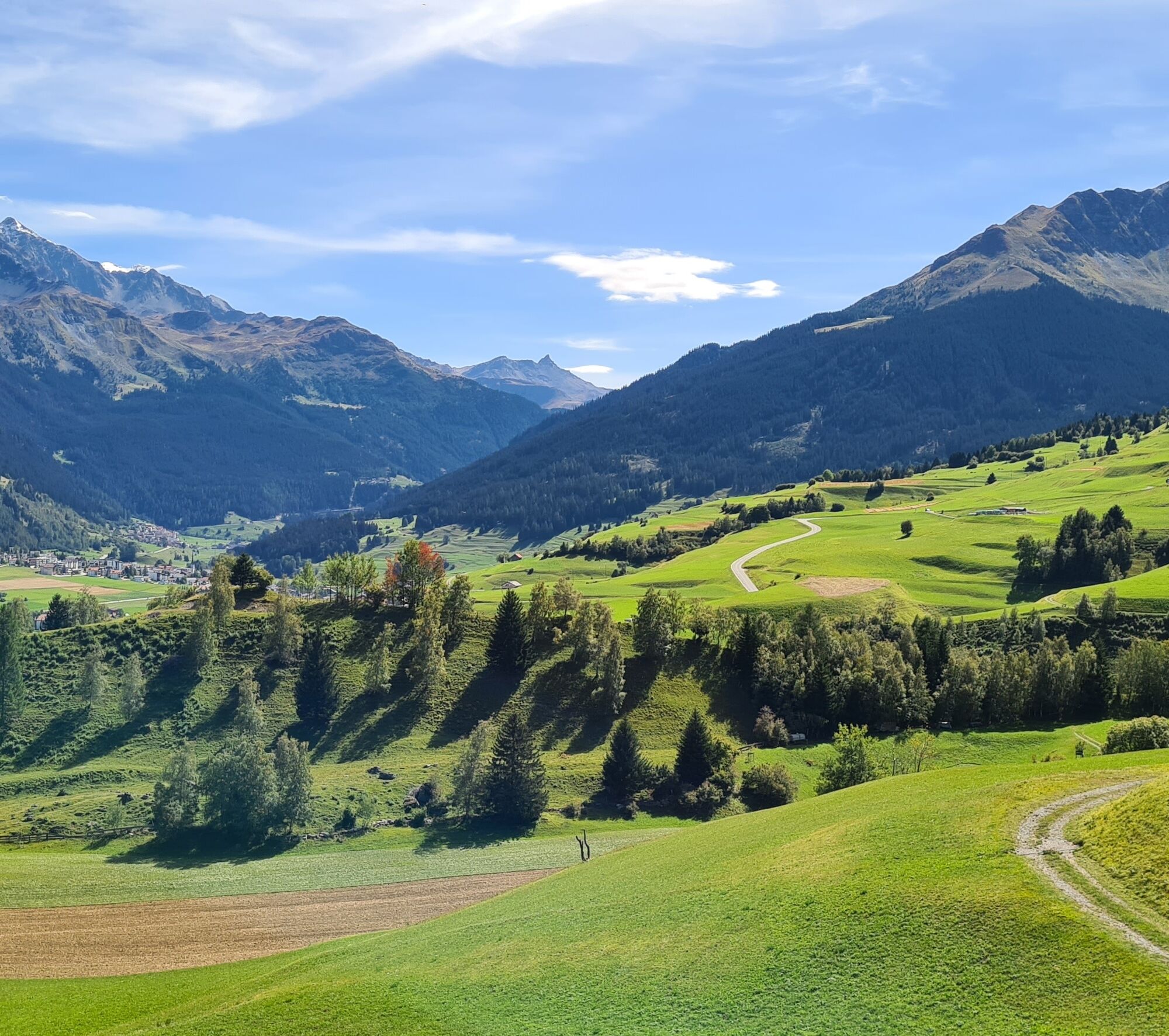
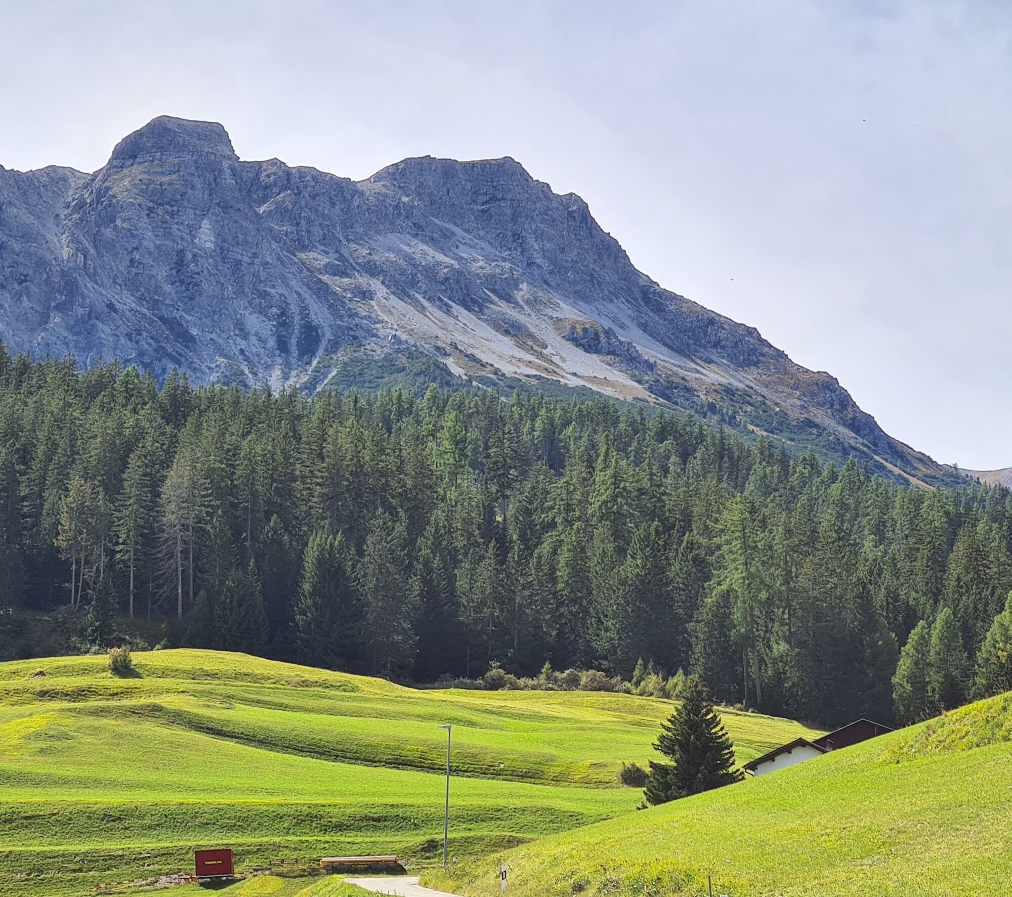
Promising walk on dirt paths through a diverse cultural landscape with former agricultural terraces and prehistoric settlement sites
- Difficulty
-
medium
- Rating
-
- Starting point
-
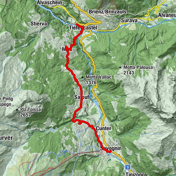
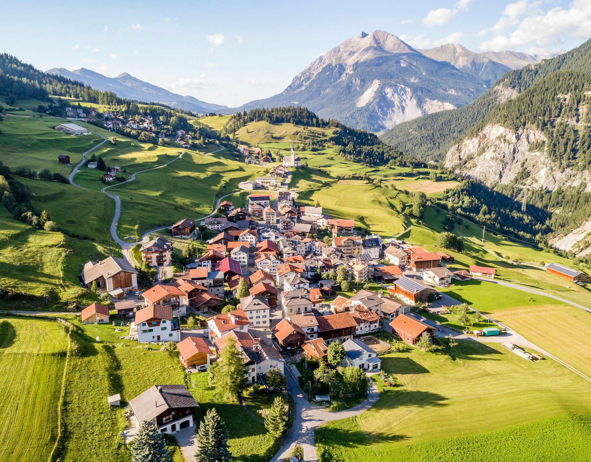
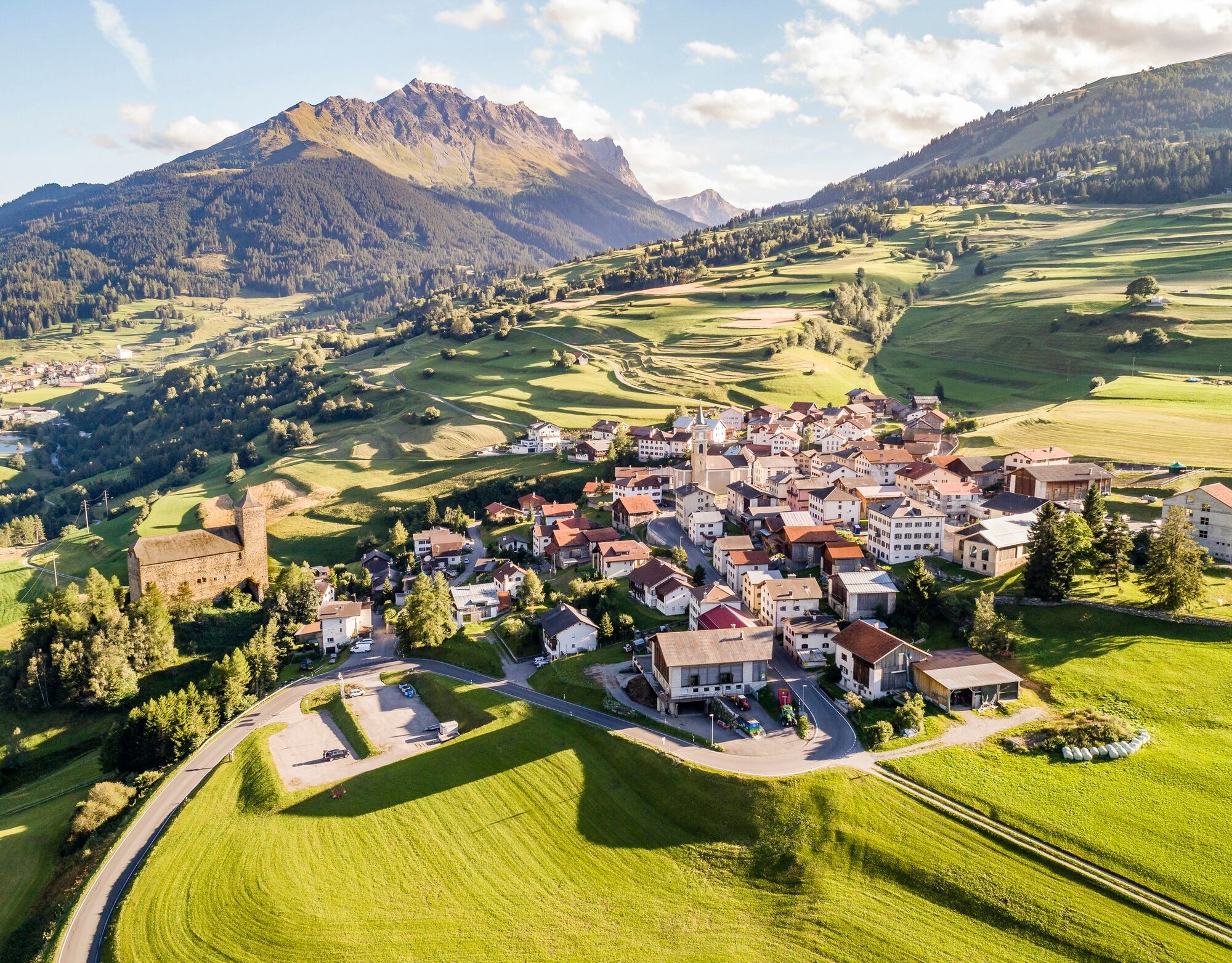
Tiefencastel
- Route
-
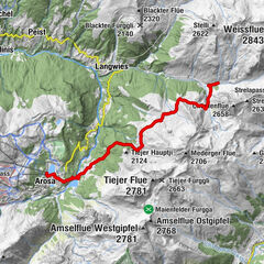
Bistro Casti0.0 kmTiefencastel (884 m)0.1 kmTiefencastel (859 m)0.6 kmMon (1,231 m)3.2 kmDel (1,373 m)4.8 kmKatholische Kirche Son Gieri6.4 kmGasthaus Alpina6.8 kmSalux (1,258 m)6.9 kmParsonz9.2 kmBaselgia San Luregn10.1 kmRiom10.1 kmConters (1,182 m)10.7 kmSavognin (1,207 m)12.5 km
- Best season
-
JanFebMarAprMayJunJulAugSepOctNovDec
- Description
-
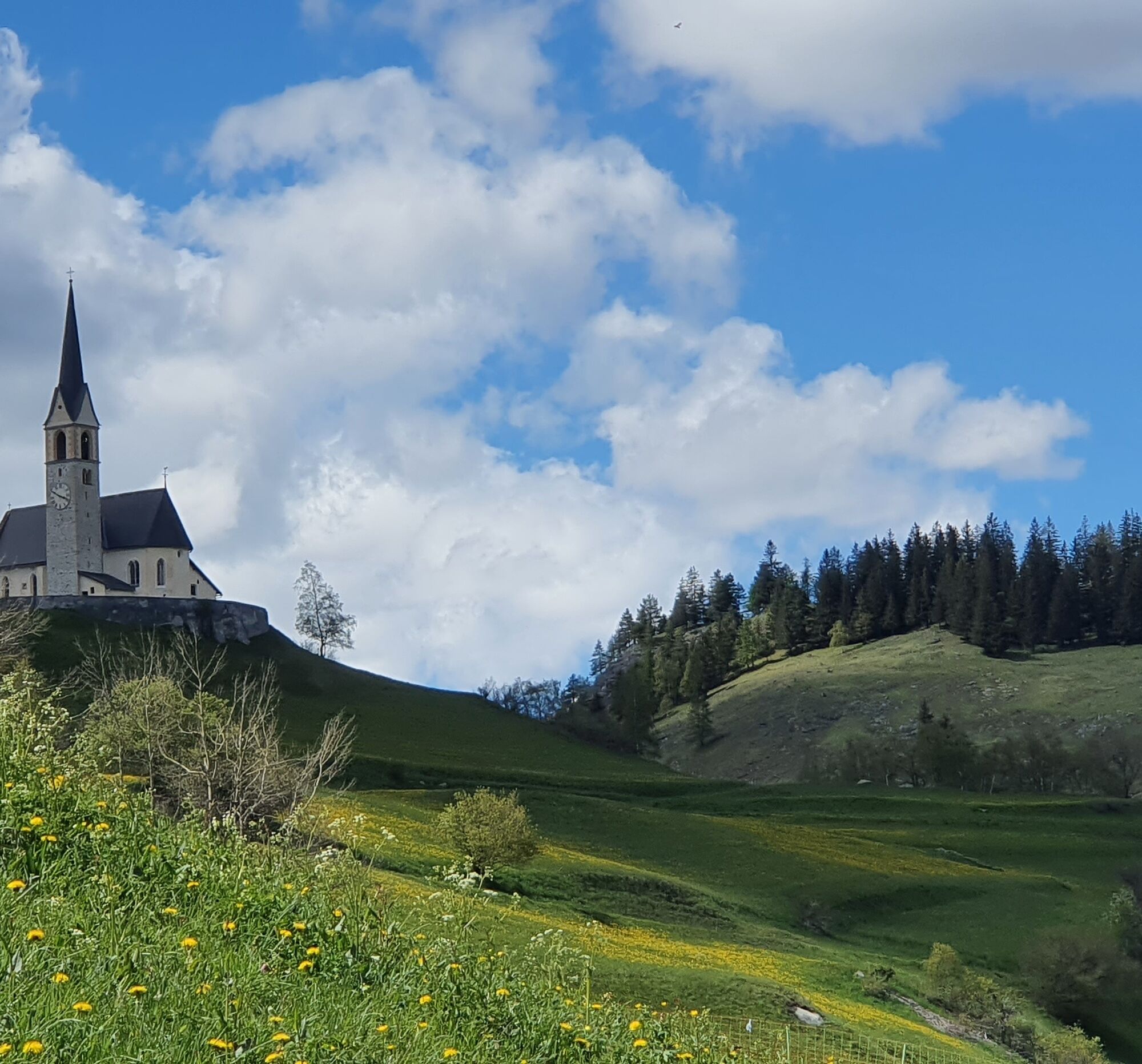
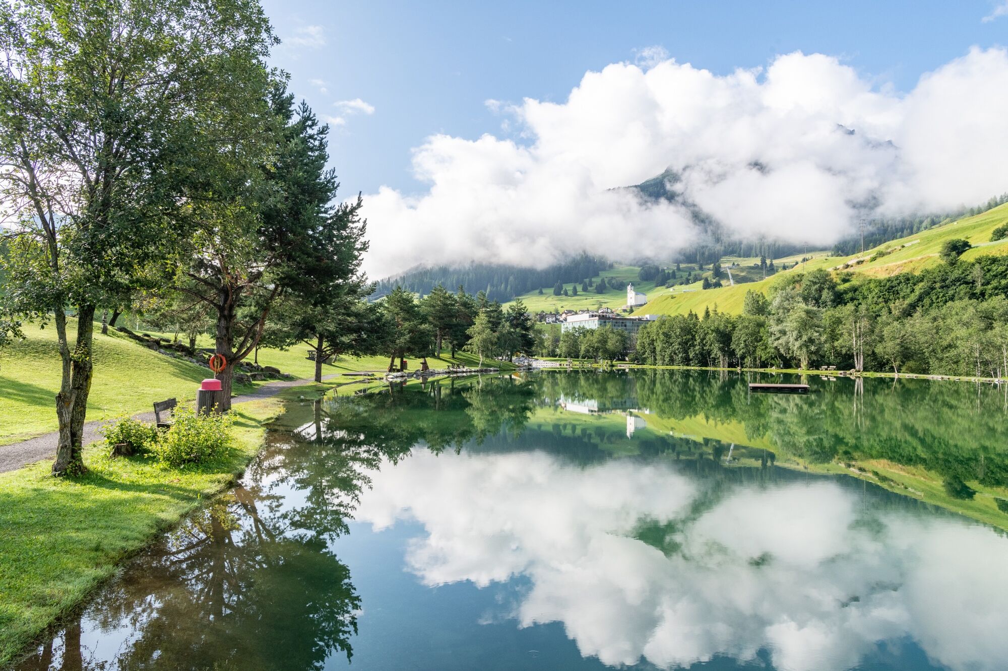
On the simple path «Veia digl Pader" You encounter 13 Romanesque poems (with German translation) of Father Alexander Lozza. The father was a priest in Salouf and a gifted poet. A striking point in the landscape of the lower Surses forms the Riom castle from the 13th century. In this castle that Origen Theater Festival takes place in the summer. Savognin is the stage destination. It offers summer guests free cableway a wide range of experiences in nature.
- Highest point
- 1,390 m
- Endpoint
-
Savognin
- Height profile
-
 © outdooractive.com
 - Tips
-
- Additional information
- Arrival
-
Drive from Savognin to Tiefencastel.
Drive from Thusis to Tiefencastel. - Public transportation
-
All stage destinations Via Sett are accessible by public transport (train or bus). Partial Reservations are required. The return from Chiavenna can be done via Splügenpass or Maloja to St. Moritz.
- Parking
-
There are some parking at the train station in Tiefencastel.


- Author
-
The tour 64.03 Tiefencastel - Savognin, ViaSett is used by outdooractive.com provided.
GPS Downloads


General info
Refreshment stop
A lot of view
Other tours in the regions
-
Val Surses
827
-
Albula / Alvra
180