
- Brief description
-
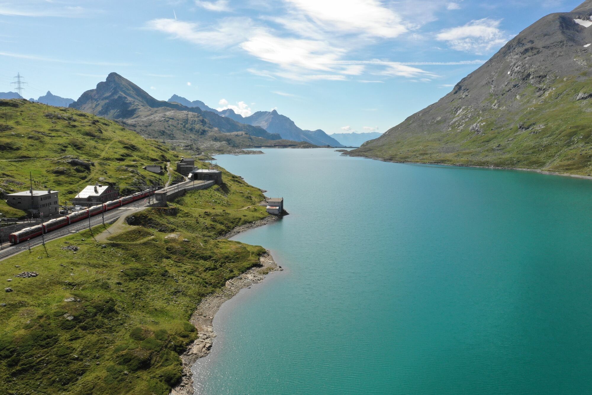
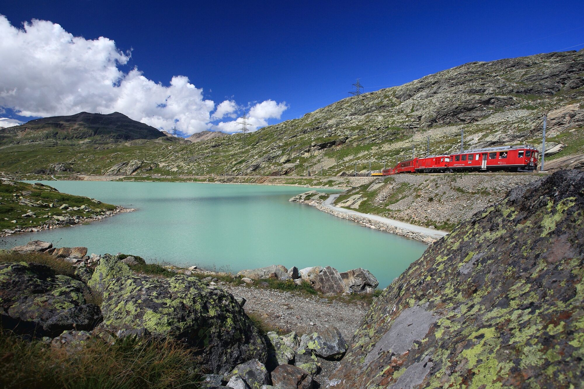
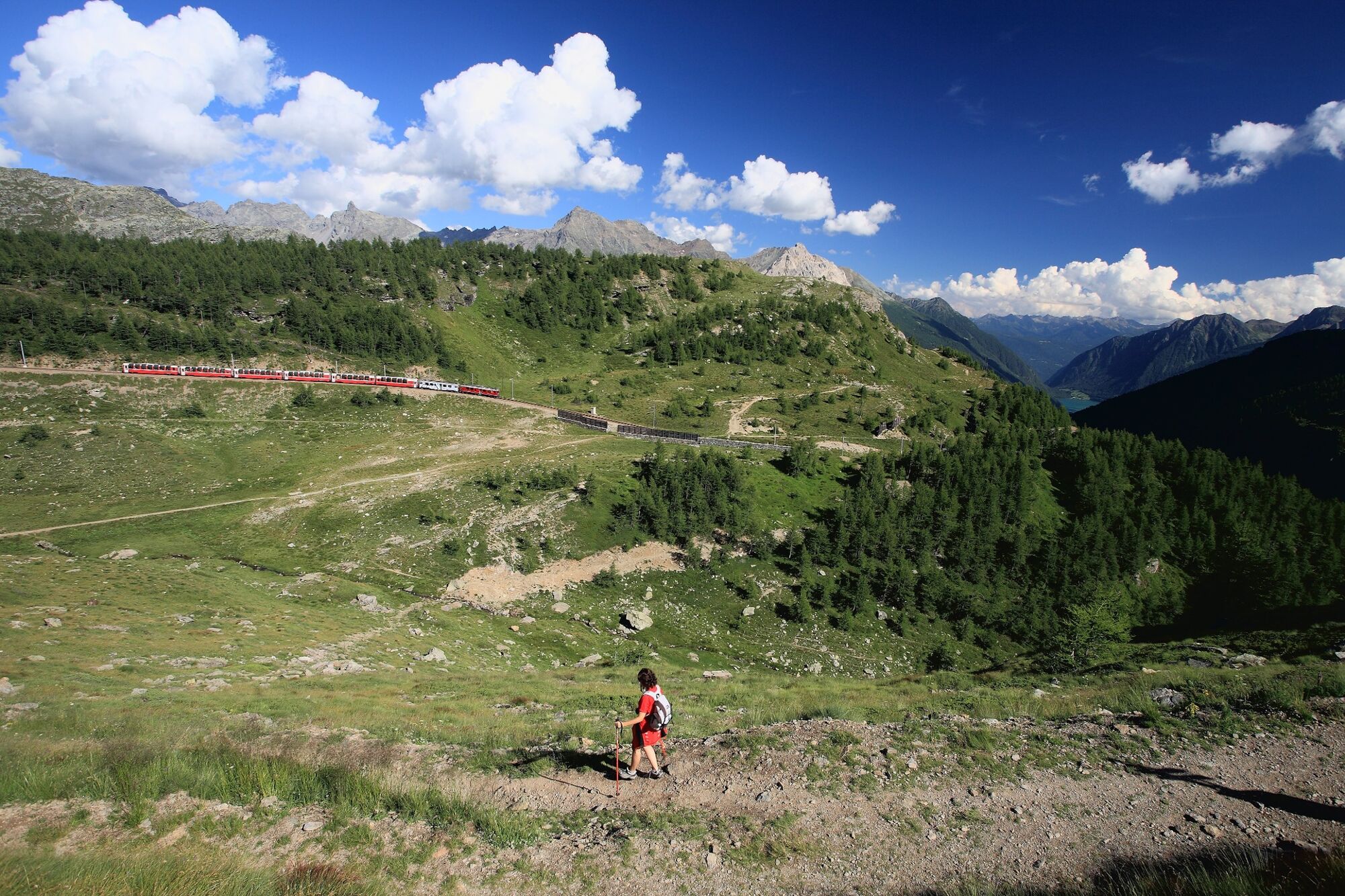
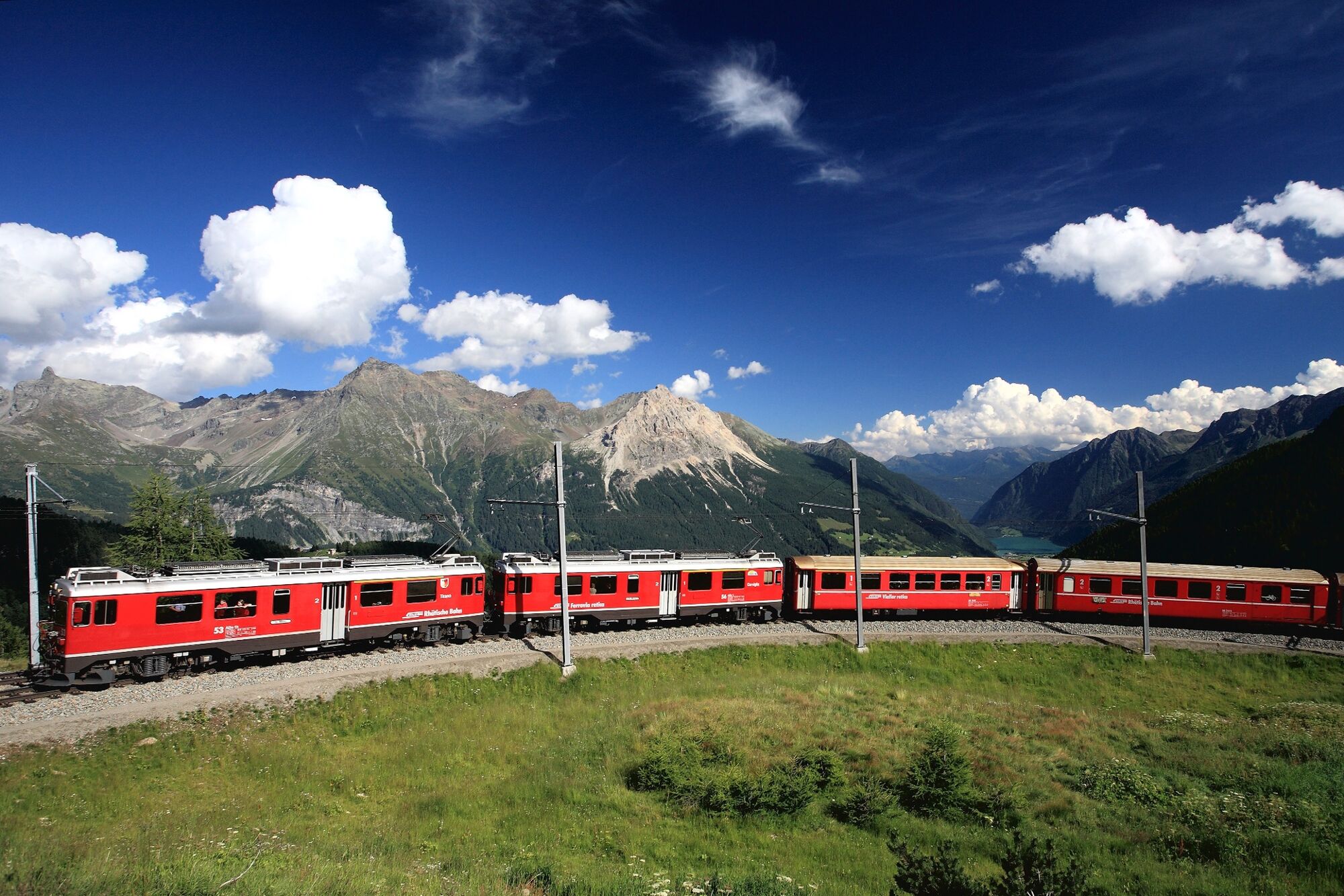
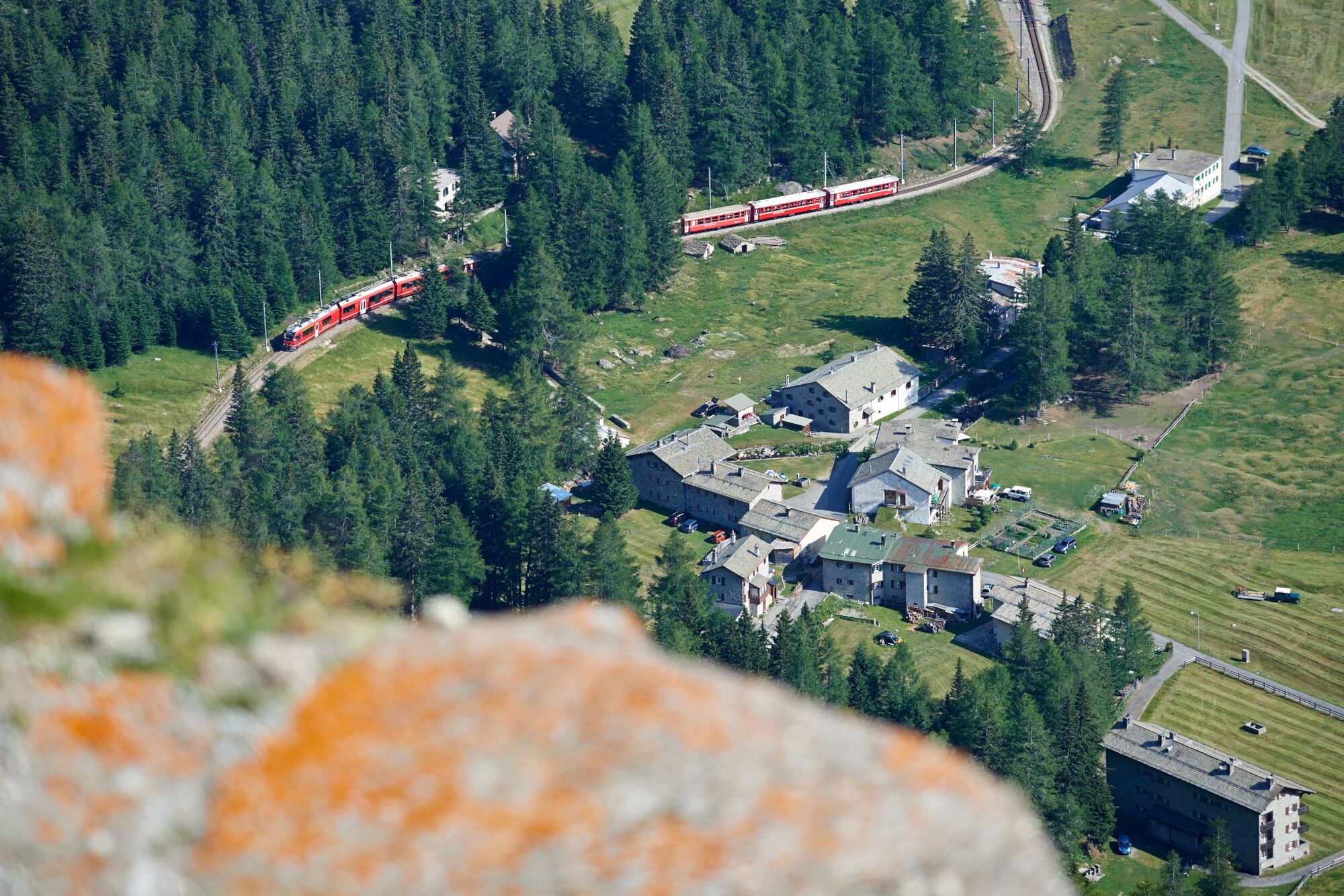
The hiking trail along the UNESCO World Heritage section of the Rhaetian Railway runs as near as possible to the Albula and Bernina railway line, regularly affording enchanting open views of an over 100-year-old total artwork in stunning Alpine scenery.
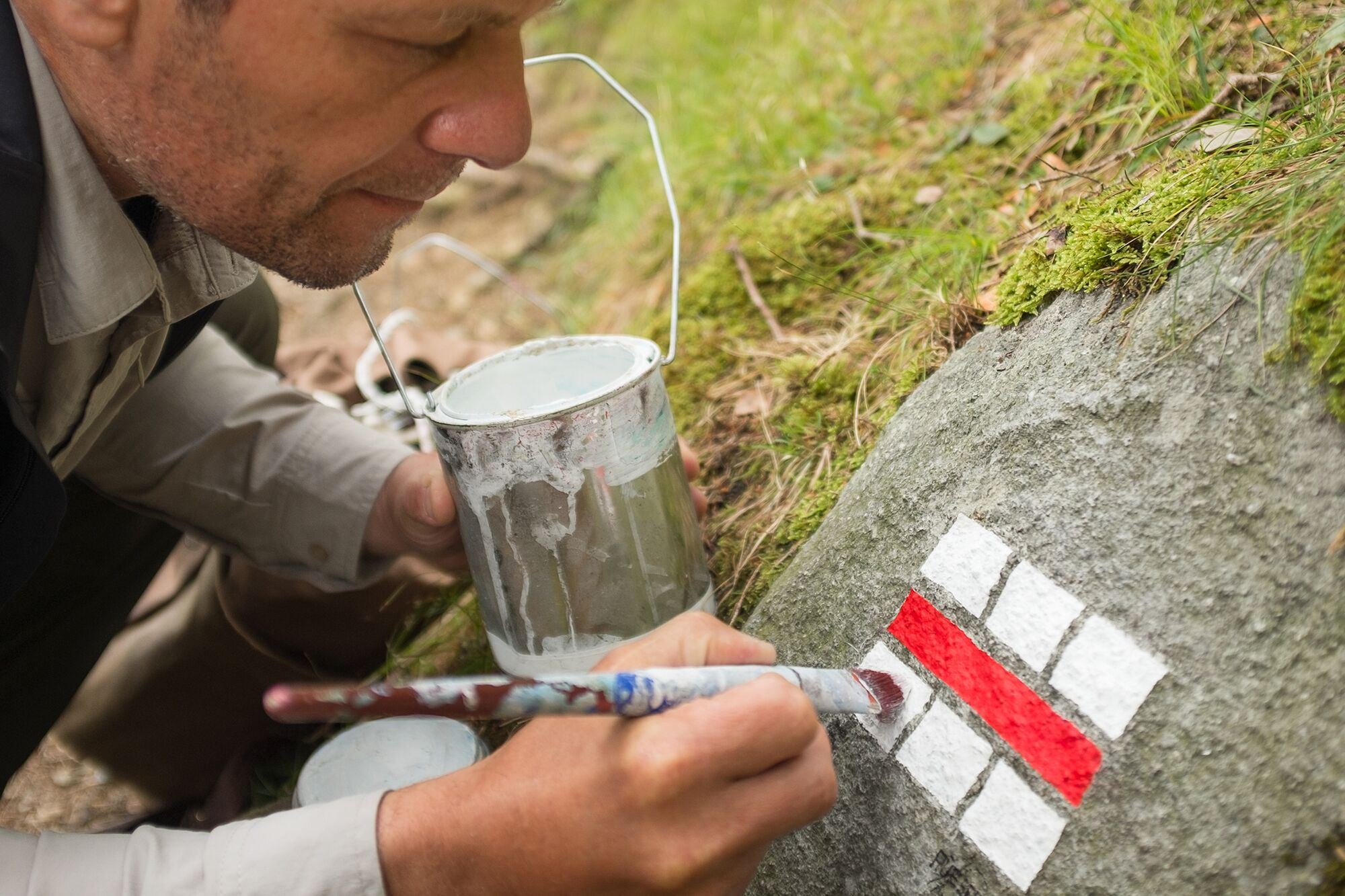
The beauty of Graubünden is world-renowned. No matter in what corner of the canton one travels, unique landscapes can be found everywhere- every spot in the mountain region is a masterpiece. In order to match this spectacular nature, the official white-red-and-white trail markers have been newly painted by an artist, called Stefan Rüesch.
- Difficulty
-
medium
- Rating
-
- Route
-
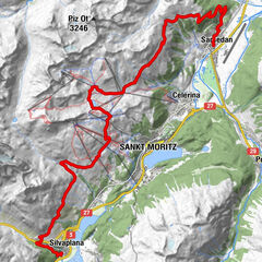
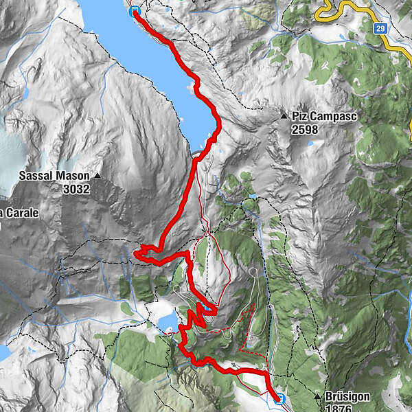
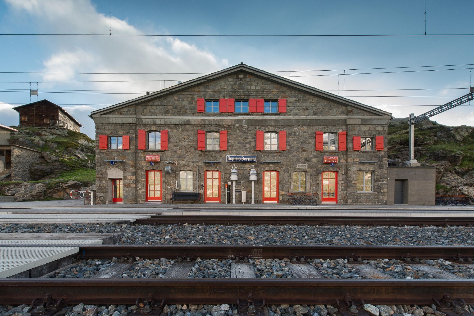
Ospizio Bernina (2,253 m)Alp Grüm6.0 kmAlp Grüm (2,091 m)6.2 kmAlbergo Ristorante Stazione Alp Grüm6.2 kmCavaglia8.9 kmBuffet Diego9.2 kmStazione Cavaglia9.3 kmCavaglia (1,692 m)9.3 km
- Best season
-
JanFebMarAprMayJunJulAugSepOctNovDec
- Description
-
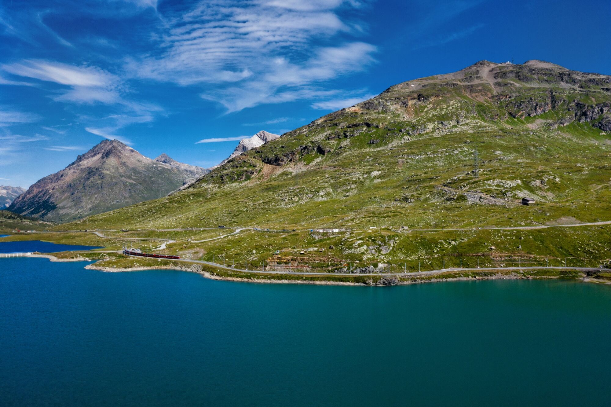
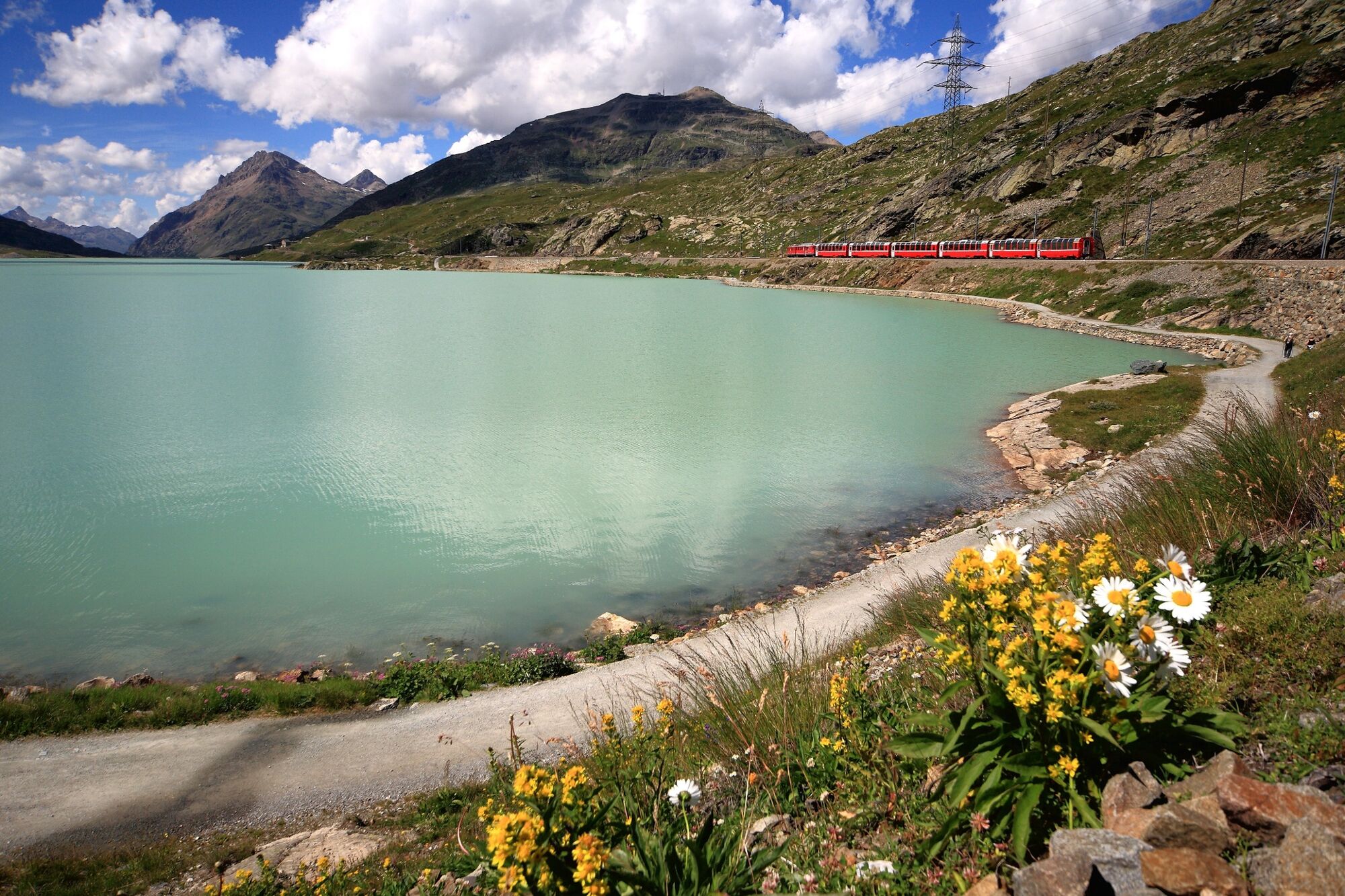
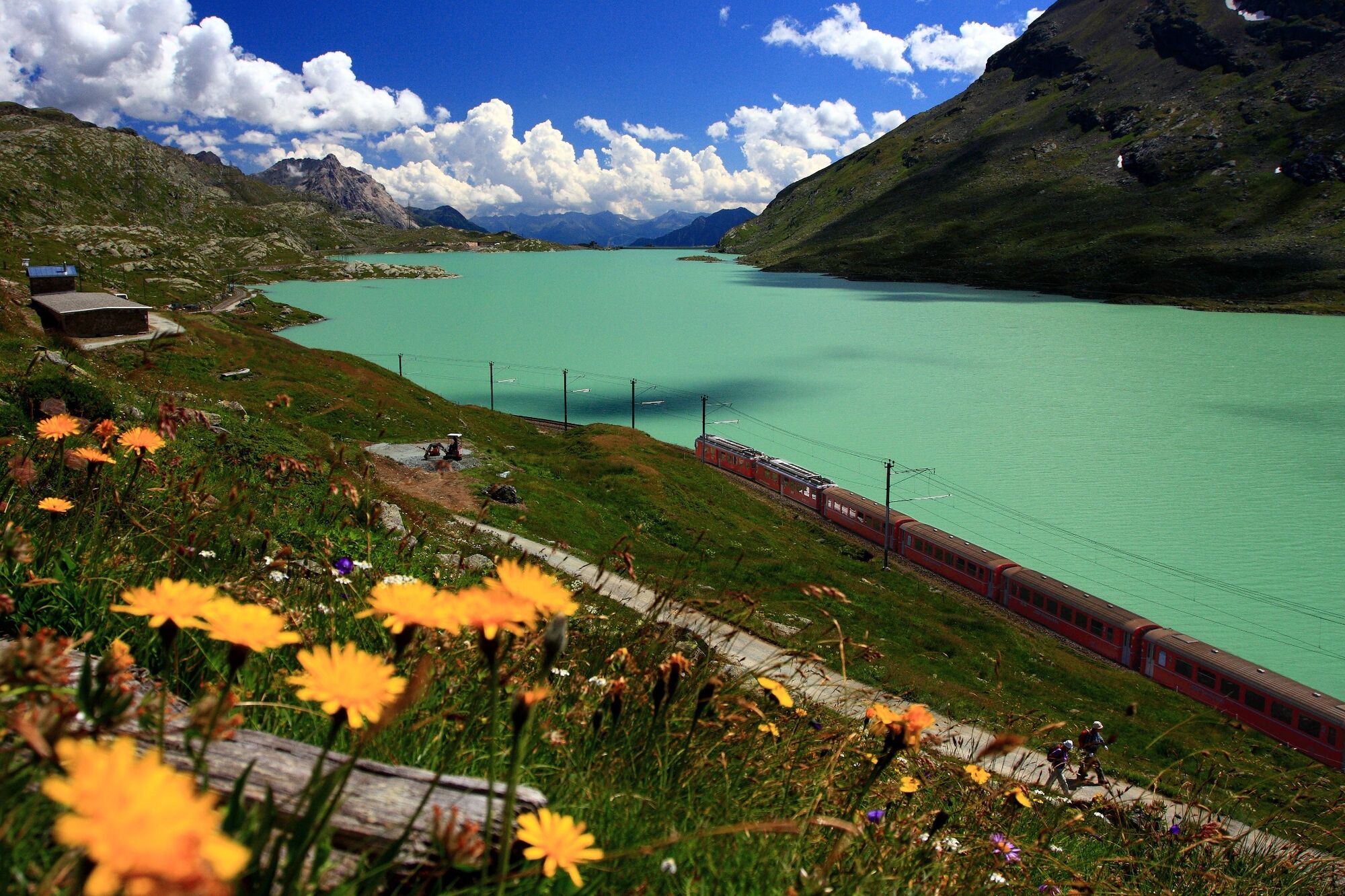
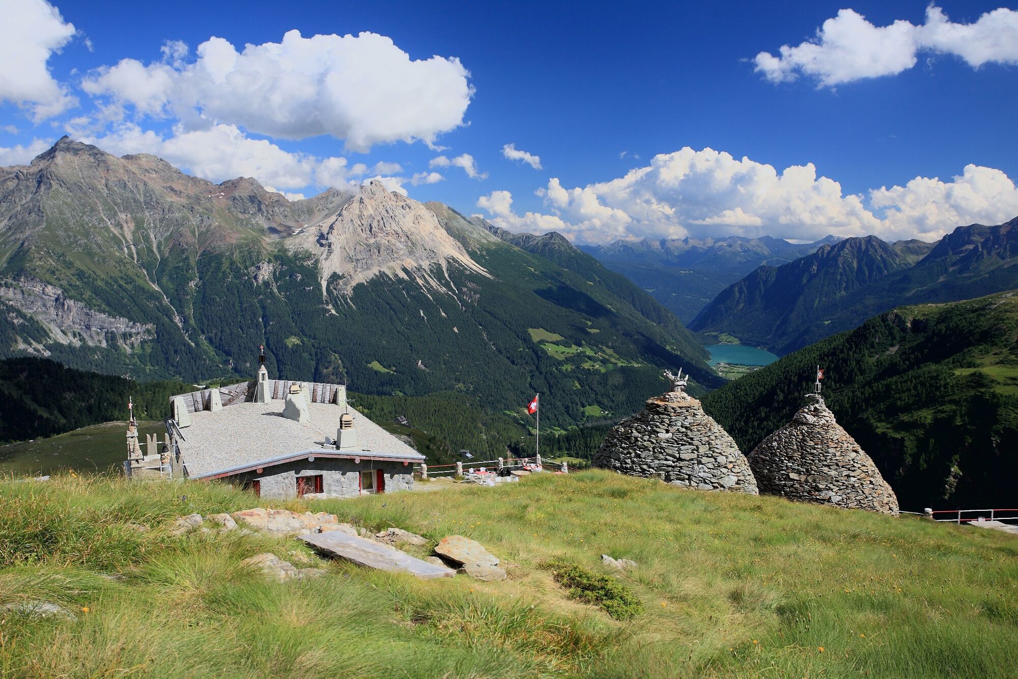
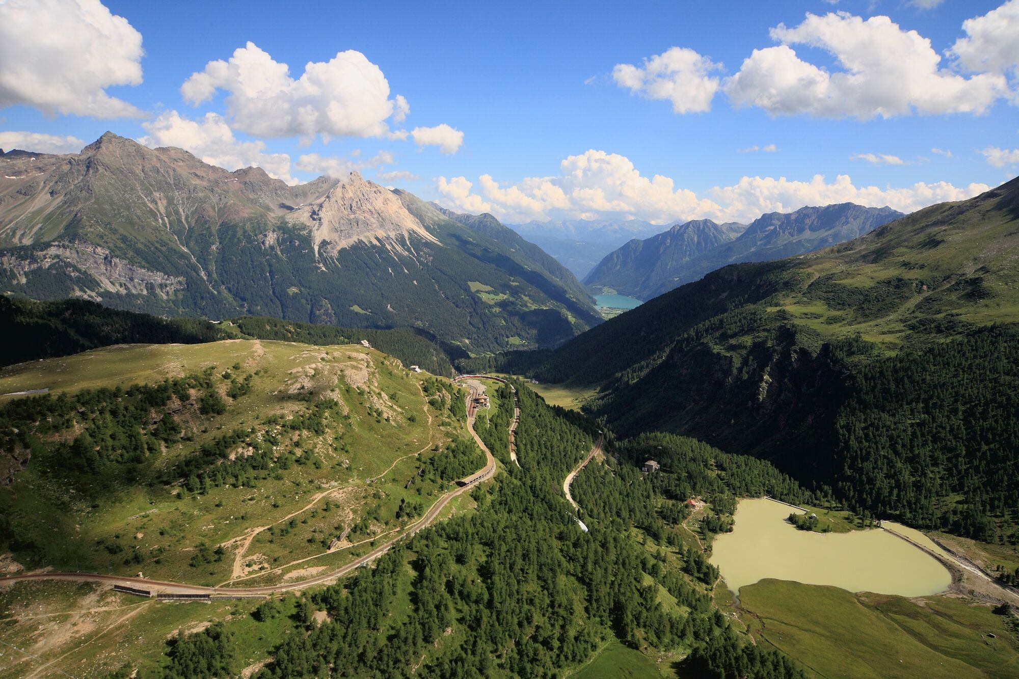
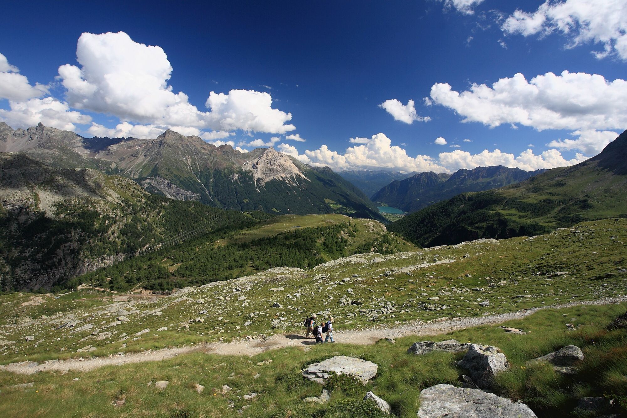
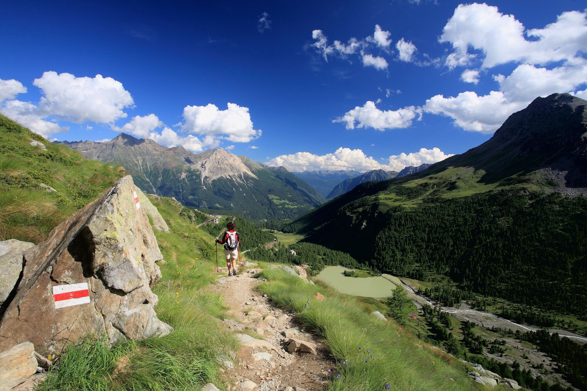
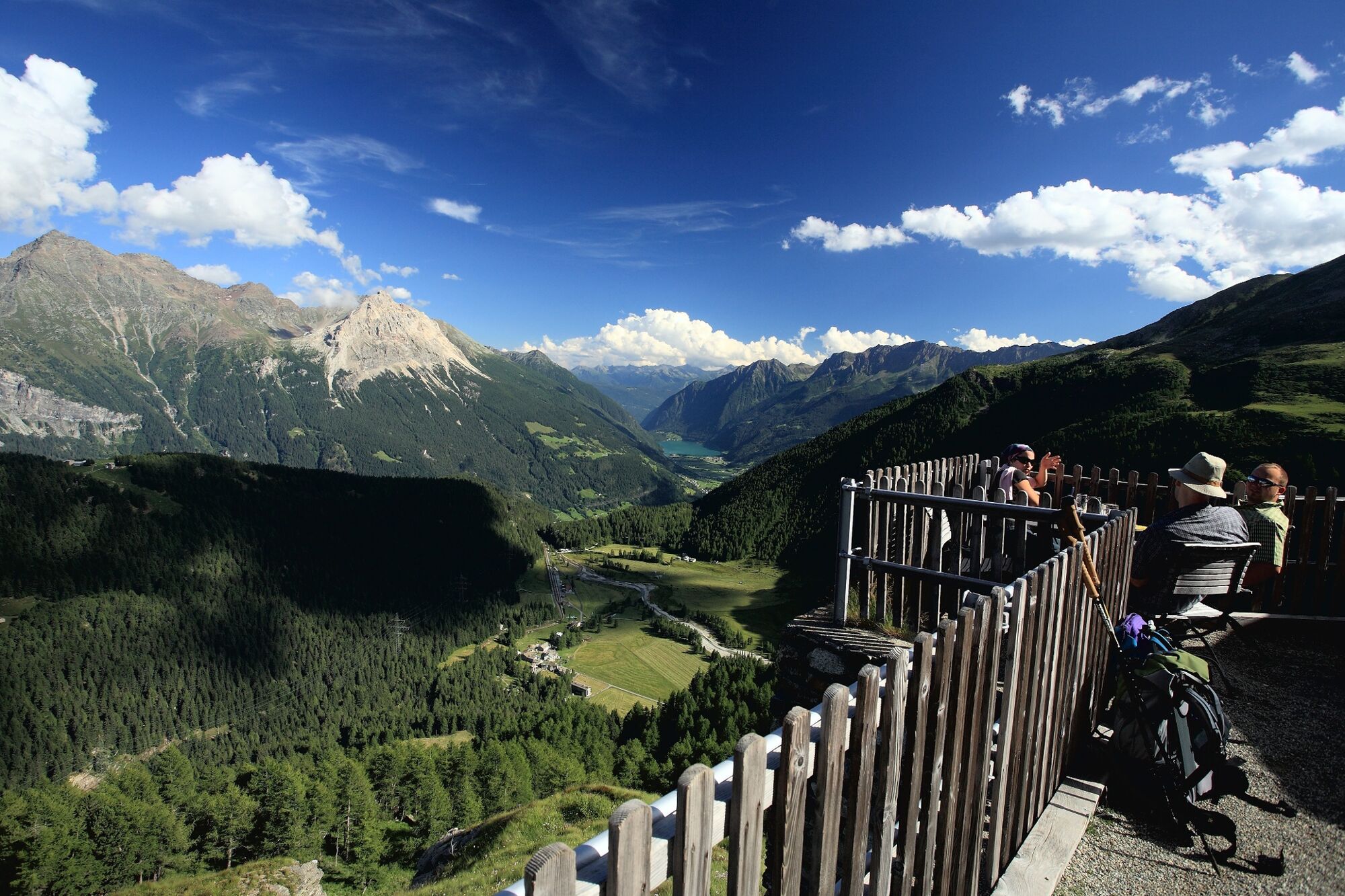
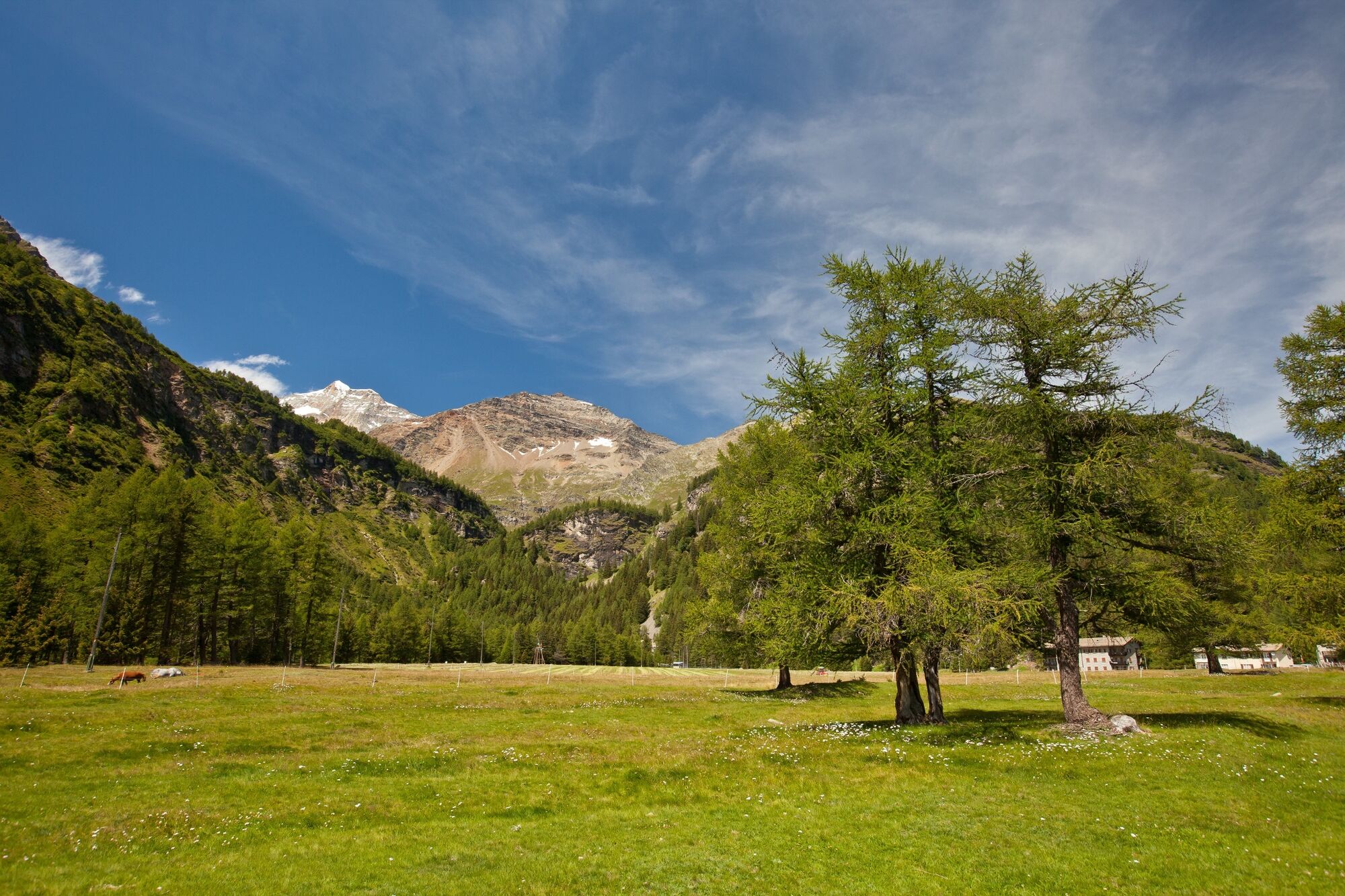
After the white glacier waters of Lago Bianco, the route leads up to the fantastic vantage point of Sassal Mason with views of Piz Palü, its glacier seeming almost close enough to touch, the heart-shaped Lagh da Palü, Alp Grüm and Val Poschiavo. The peaceful high valley of Cavaglia below offers an invitation to linger.
Newly designed trail markers
Everyone knows them: the white-red-and-white trail markers that show hikers that way. From September 2017, five of these look a little different on this trail. Artist Stefan Rüesch has set his hand, or rather his brush, to these and made these signs live up to the beauty of the surrounding nature. True to the motto: Every spot a masterpiece.
Find those newly designed trail markers by clicking on the map above.
- Highest point
- 2,355 m
- Endpoint
-
Cavaglia
- Height profile
-
 © outdooractive.com
 - Safety instructions
-
Beware: snowfields possible into summer months on high-level sections
- Tips
-
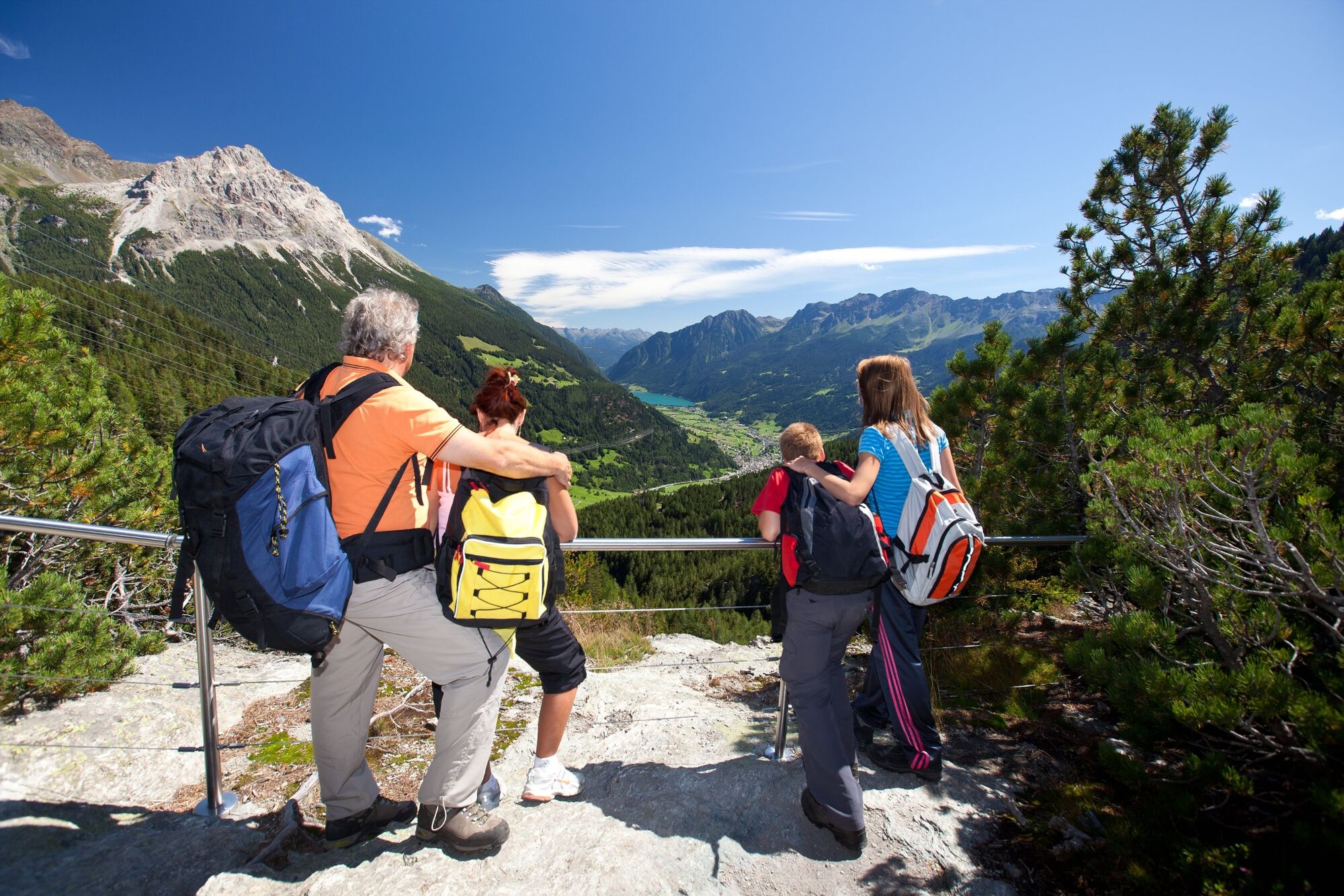
Ideal section for families.
- Author
-
The tour 33.08 Ospizio Bernina - Cavaglia, Via Albula / Bernina is used by outdooractive.com provided.


General info
-
Veltlin / Valtellina
852
-
Puschlav / Valposchiavo
638
-
Puschlav
137