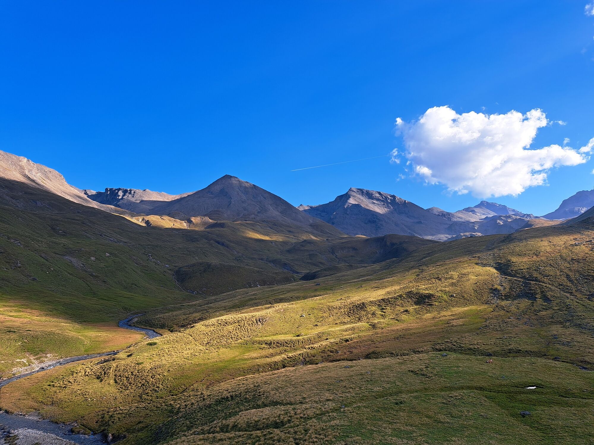
© Engadin Samnaun Val Müstair - Romedi Conradin

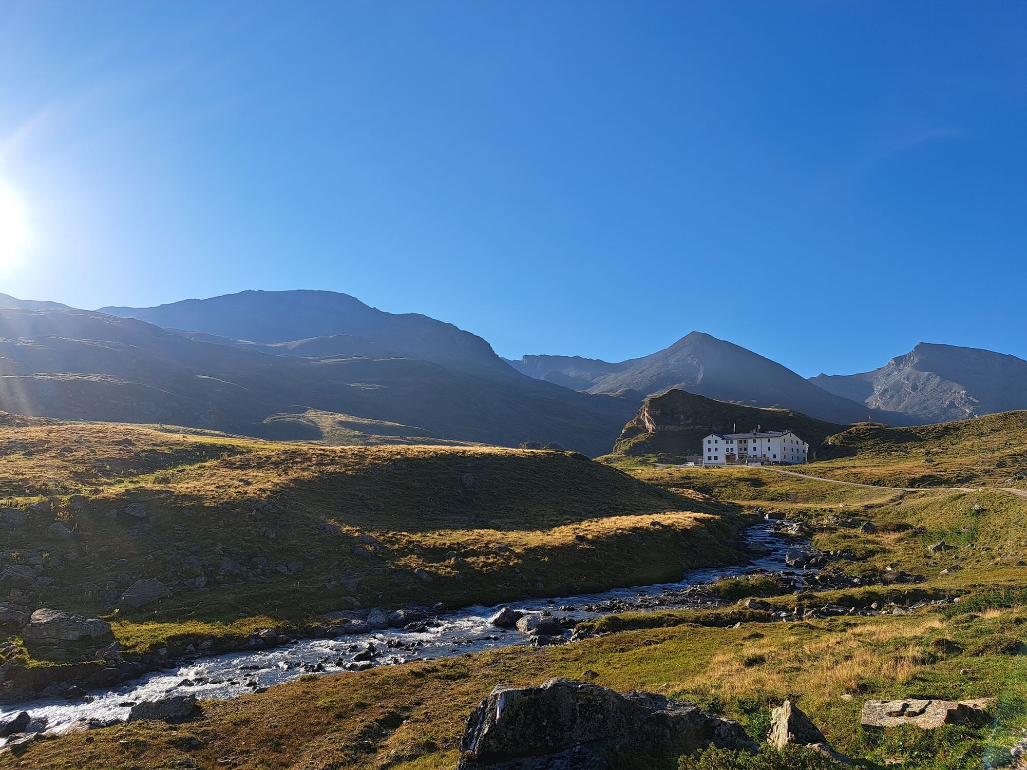
© Engadin Samnaun Val Müstair - Carolin Roesner

© Engadin Samnaun Val Müstair - Carolin Roesner

- Difficulty
-
medium
- Rating
-
- Starting point
-
Scuol
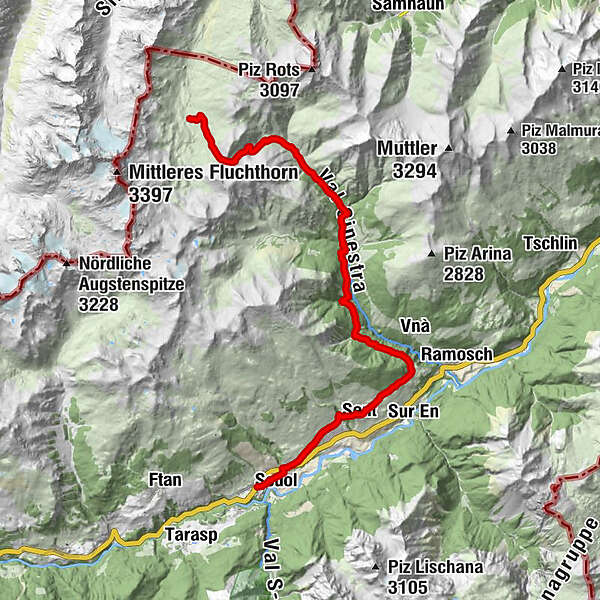
- Route
-
San Bastian0.7 kmScuol (1,250 m)0.8 kmDavo Stron4.4 kmDa Salvatore4.7 kmRestorant Fontana4.9 kmSins (1,440 m)5.0 kmTuols5.3 kmCosta Dad Archas5.4 kmBös-ch Grond5.5 kmHof Zuort14.3 kmGriosch15.4 kmHeidelberger Hütte24.5 km
- Best season
-
JanFebMarAprMayJunJulAugSepOctNovDec
- Description
-
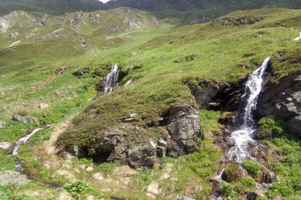
Over flower-filled meadows, with wonderful views along the sunny slopes of the Engiadina bassa, before turning into the wild, forested Val Sinestra, past historic buildings, climb to the scenic Fimberpass, the pass to the Heidelberger Hut.
- Highest point
- 2,604 m
- Endpoint
-
Heidelberger Hütte DAV
- Height profile
-
 © outdooractive.com
 - Tips
-
The hike can be simplify by public transport.
- Additional information
-
long section, please note rail recommendation No. 276 Scuol–Val Sinestra.
snowfields possible into summer months on high-level sections

- Author
-
The tour 23.01 Scuol - Heidelberger Hütte DAV, Senda Scuol - Samnaun is used by outdooractive.com provided.
GPS Downloads


General info
Refreshment stop
A lot of view
Other tours in the regions
-
Engadin Scuol Zernez
734
-
Sent
141