
- Brief description
-
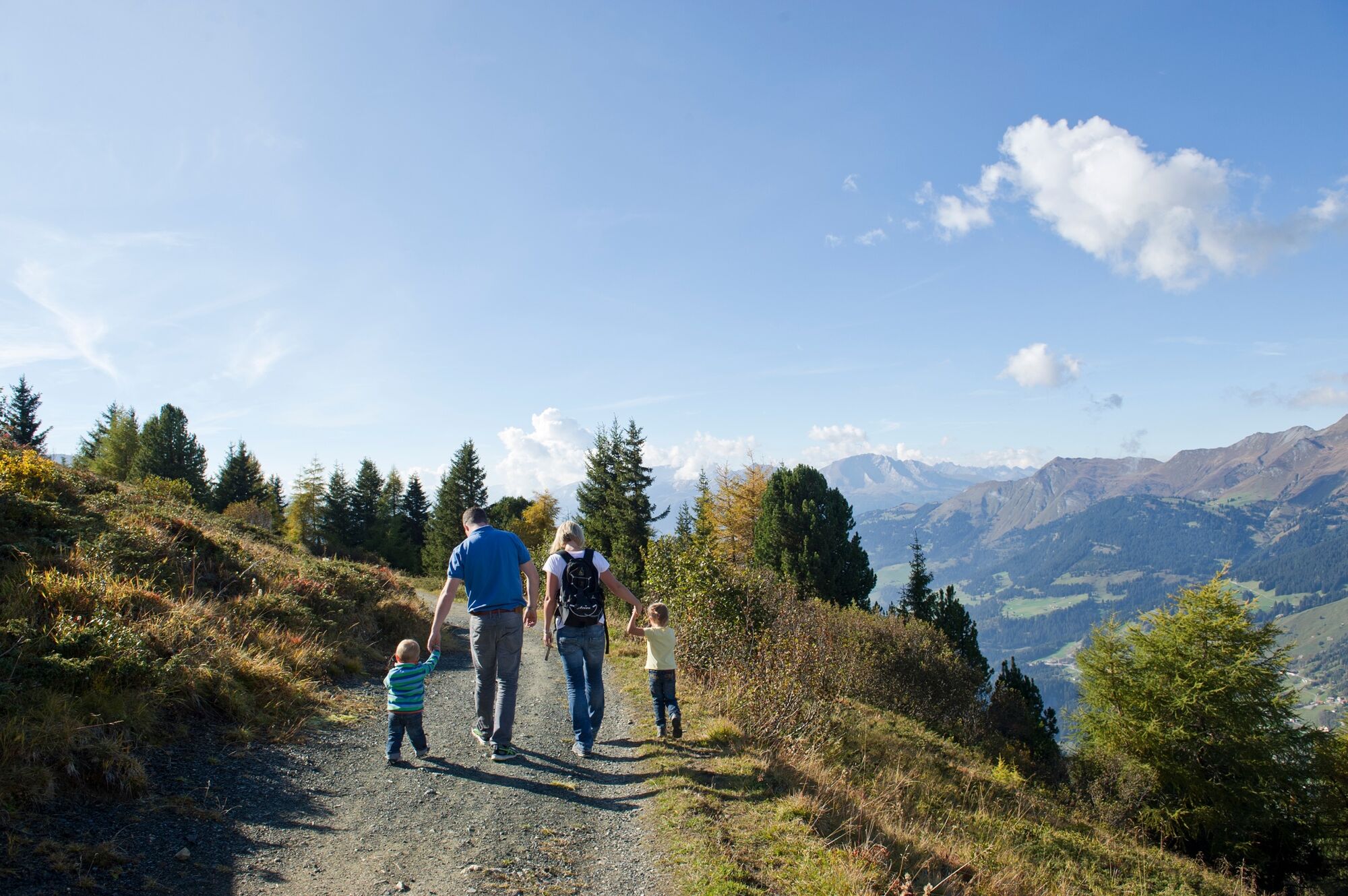
A beautiful hike that leads past various mountain restaurants.
- Difficulty
-
easy
- Rating
-
- Starting point
-
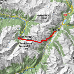
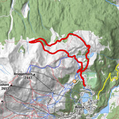
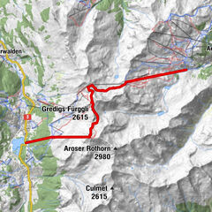
Obersee Arosa
- Route
-
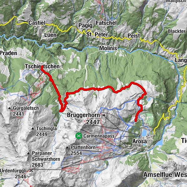
PrätschliRot Tritt2.9 kmOchsenalp5.5 kmTschiertschen (1,343 m)12.0 kmCentral12.1 km
- Best season
-
JanFebMarAprMayJunJulAugSepOctNovDec
- Description
-
The tour starts in Arosa and you then walk via the Arlenwald to the Prätschli. The hike continues in the direction of Ochsenalp, which is marked by the hiking trail markings. On this section you have a super view of the whole Schanfigg valley. After a stop at Ochsenalp, the trail continues along the forest road to Tschiertschen. This section is mostly in the forest, but is very pleasant to walk and it is all downhill.
- Directions
-
Arosa - Ochsenalp - Tschirschen
- Highest point
- 2,007 m
- Endpoint
-
Tschiertschen
- Height profile
-
 © outdooractive.com
 - Equipment
-
Trekking shoes, backpack, sun protection, water
- Tips
-
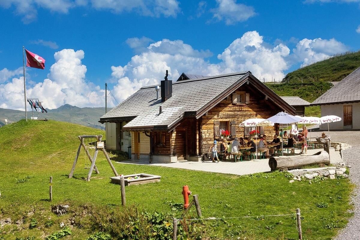
Stop at the Ochsenalp mountain inn
- Directions
-
From Chur along the winding Arosa road to the end of the valley in Arosa.
- Public transportation
-
The Rhaetian Railway runs every hour from Chur to Arosa (also in the opposite direction).
On arrival at Arosa station you are directly at the starting point of the hike.
- Parking
- Author
-
The tour Arosa - Ochsenalp - Tschiertschen is used by outdooractive.com provided.