
- Brief description
-
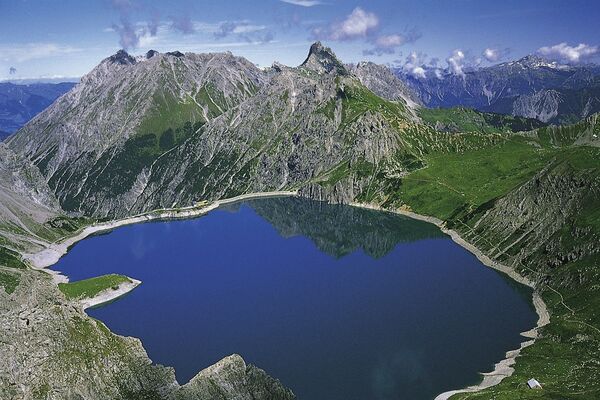
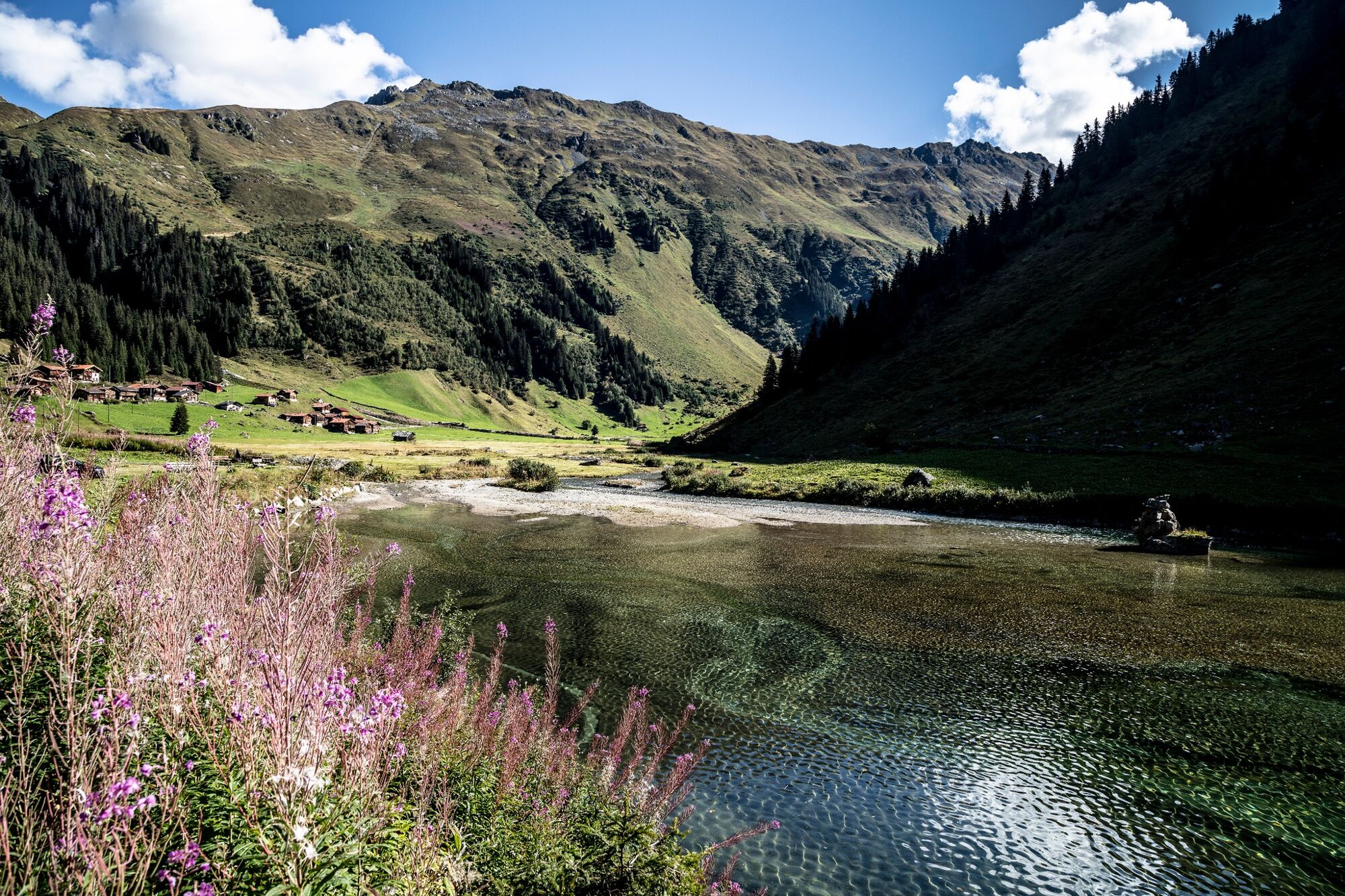
Hiking on the old pack animal trading-routes, with grand views across the Swiss-Austrian border on the Schlappiner Joch. Then dropping down to lake Schlappin and finally to Klosters Dorf.
- Difficulty
-
medium
- Rating
-
- Starting point
-
Klosters (Madrisa)
- Route
-
Albeina II0.1 kmAlbeina I0.1 kmBergrestaurant Madrisa-Alp0.2 kmStn. Madrisa (1,884 m)0.2 kmSchlappin (1,658 m)8.0 kmSchlappin See8.3 kmBerghaus Erika8.3 kmKlosters Dorf12.8 kmMadrisabahn Talstation (1,191 m)12.9 km
- Best season
-
JanFebMarAprMayJunJulAugSepOctNovDec
- Description
-
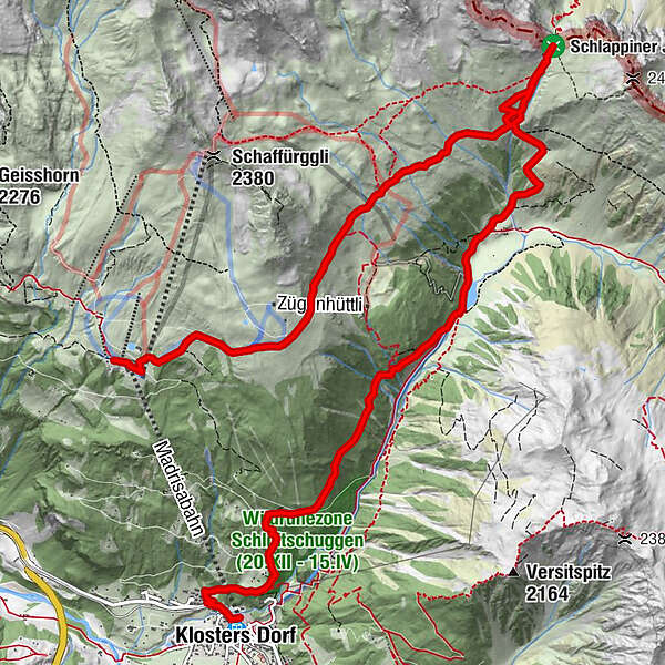
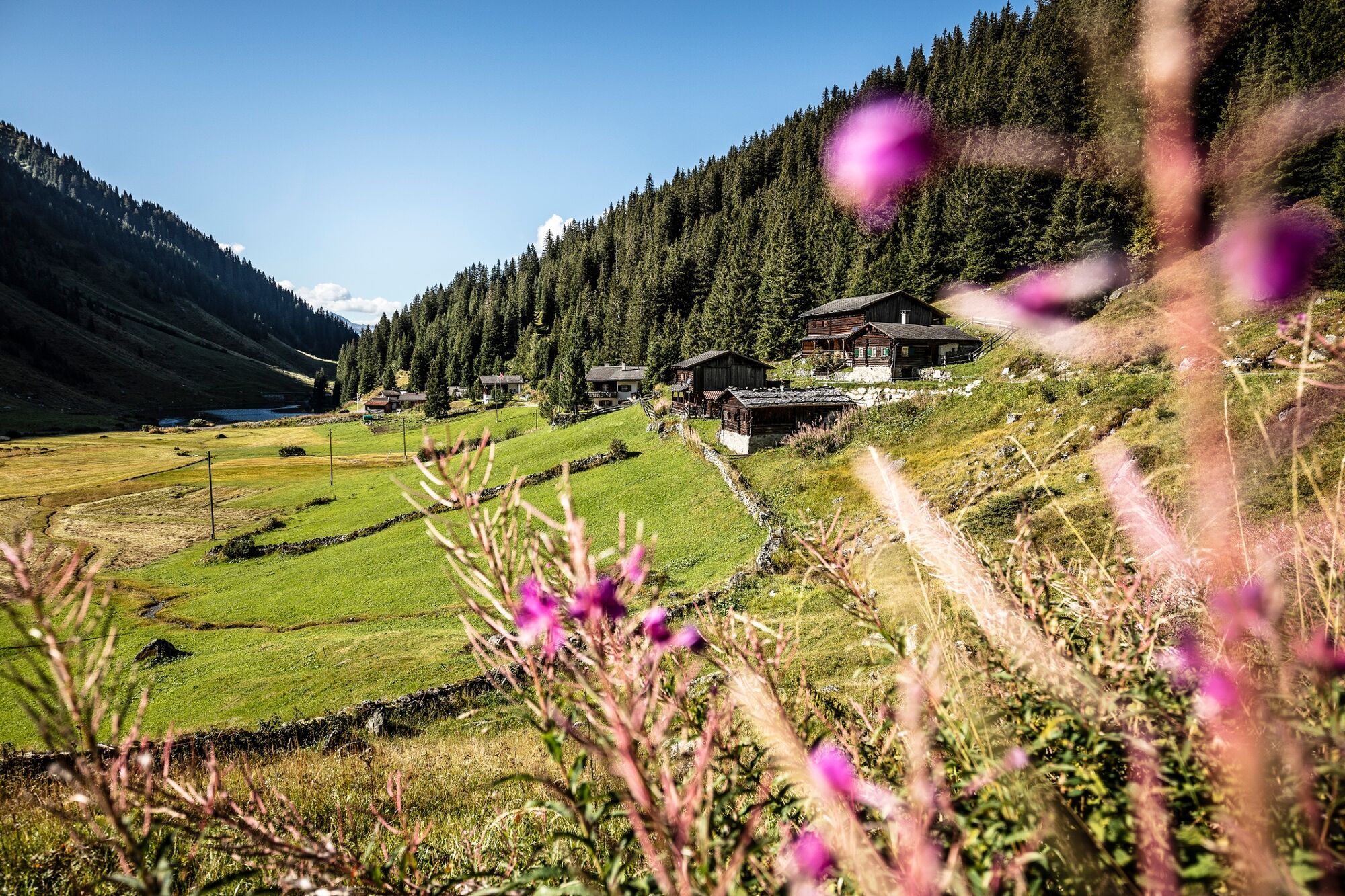
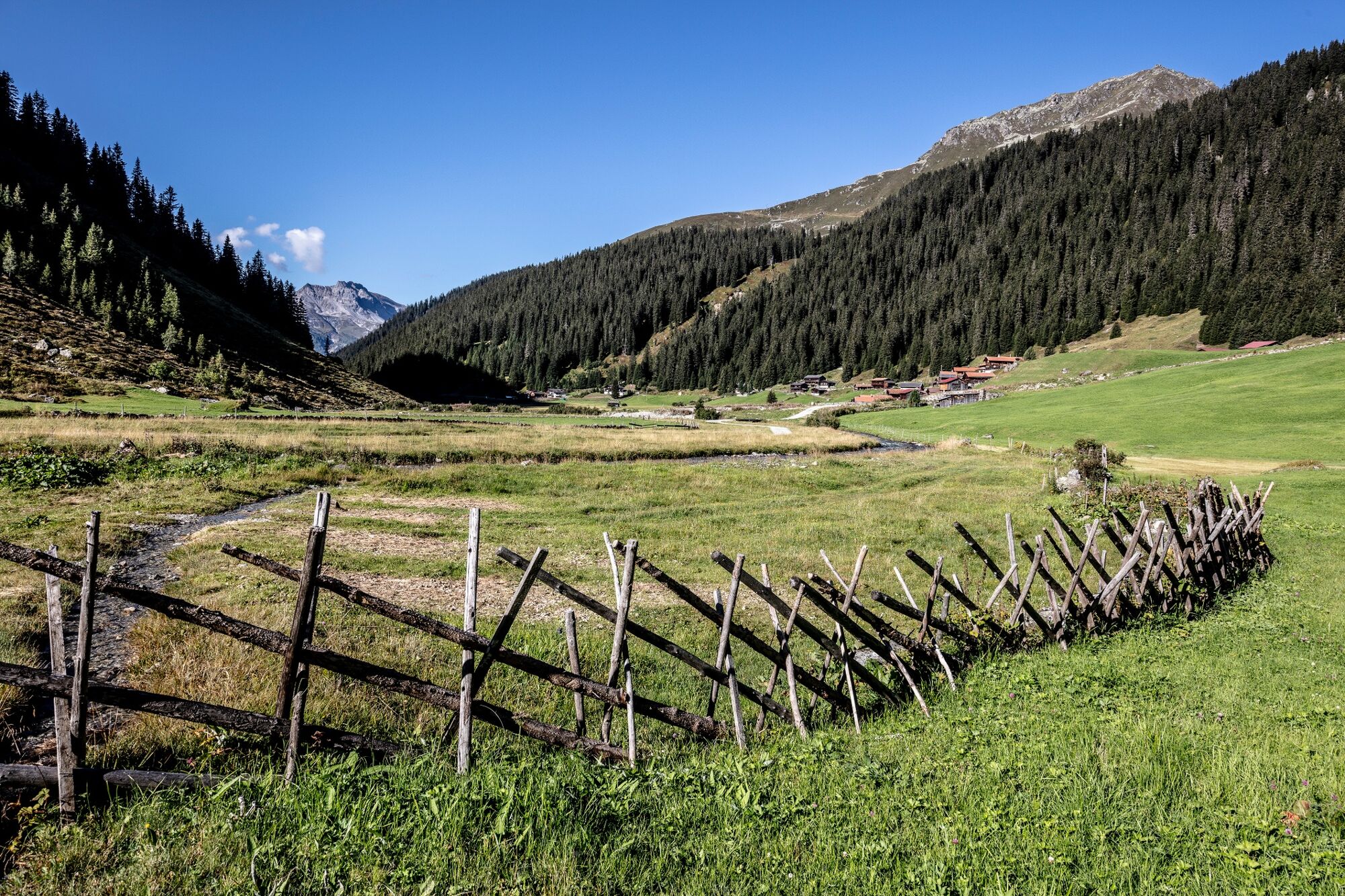
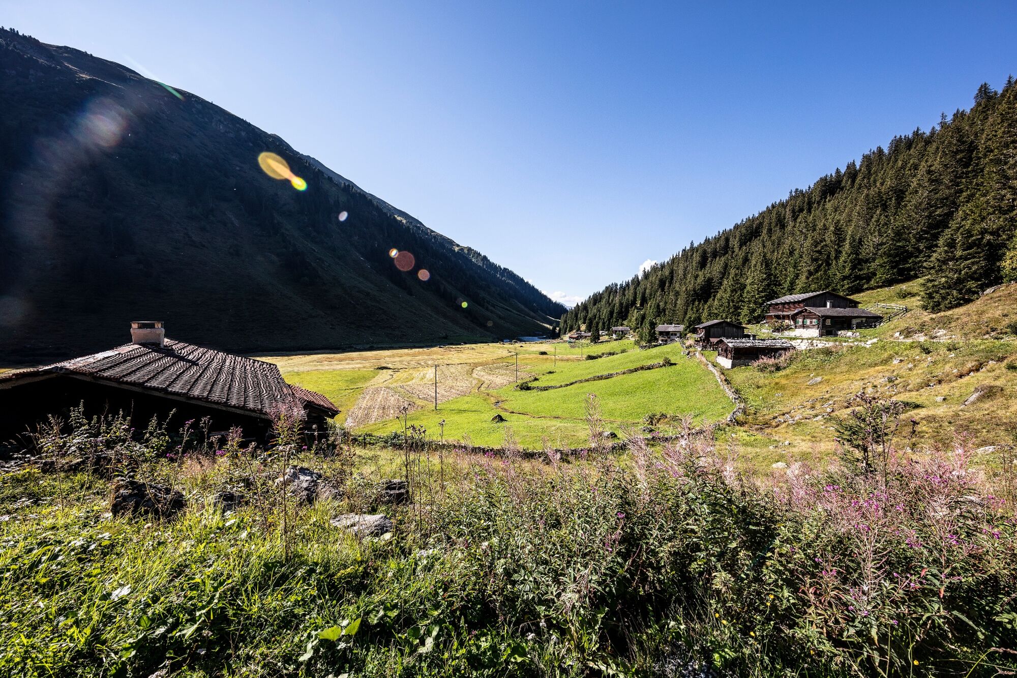
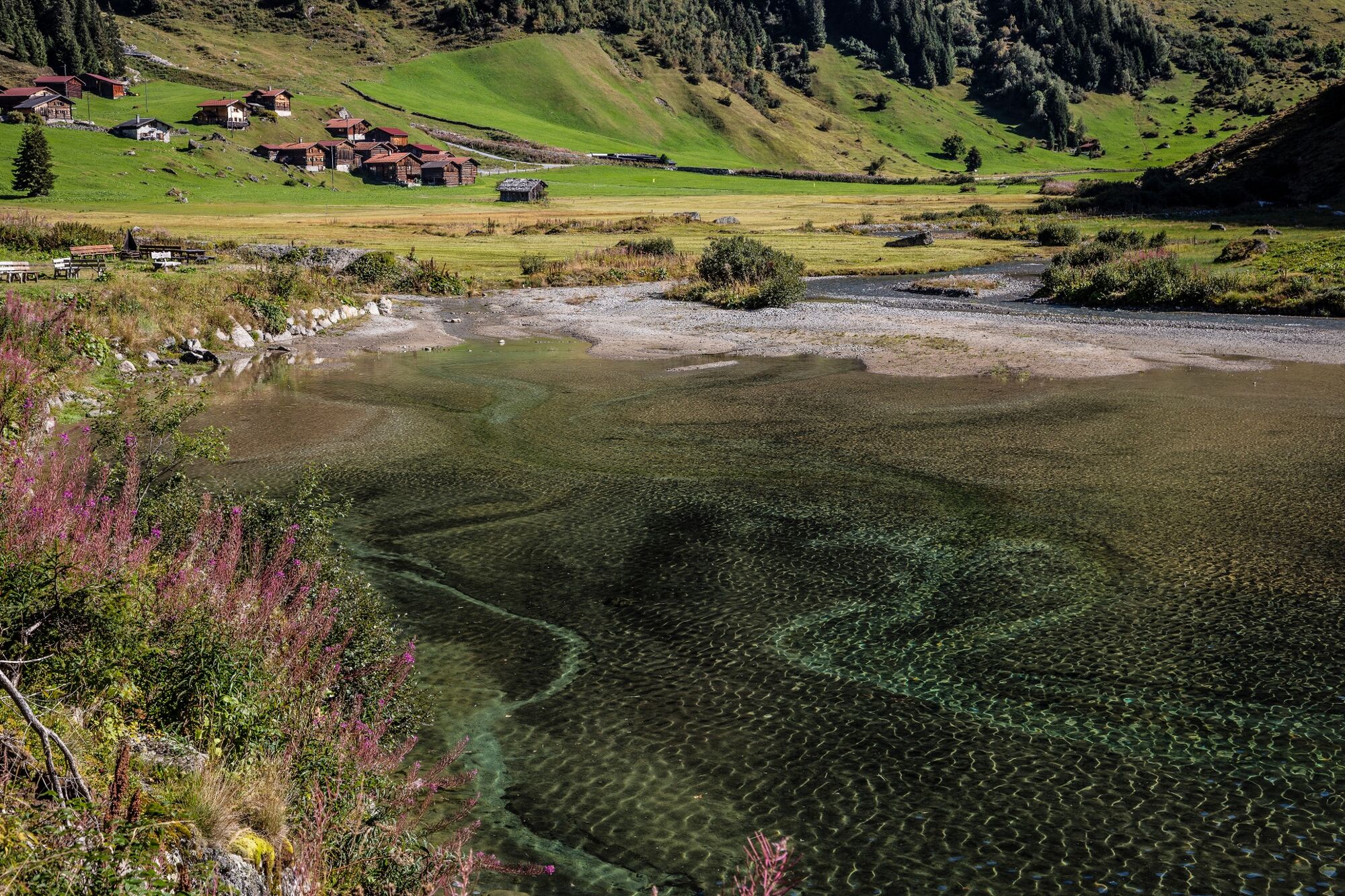
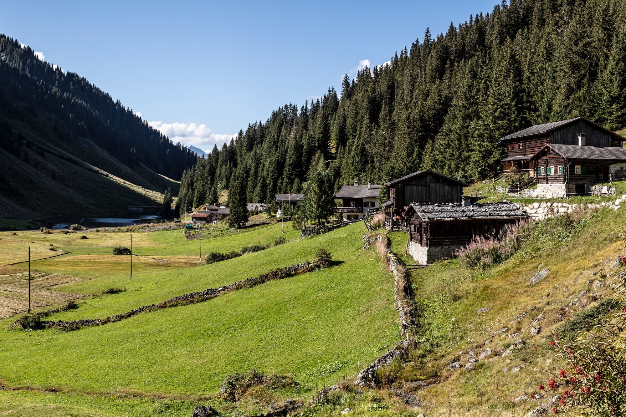
Take the Madrisa gondola from Klosters Dorf to Saaser Alp. This is the sunny mountain of Klosters, where the first alpine discovery park «Madrisa-Land» is. Further on is the Saaser Alp. Follow the footpath in an eastward direction until you reach Zügenhüttli. On the high alpine path, you come to the Älpli and Schlappiner Joch. This path was a war zone during the Prättigauer War in 1622 between Graubünden and Montafon. But the path also served as a major trade route where wine and cattle were transported. From the Joch (ridge) drops a steep path to Schlappin. There in the mountain restaurants Gemsli or Erika, you can take refreshment. Next to Schlappin lake are places to barbeque. Using either the alp road or the footpath on the left side of the valley, you make your way beside the roaring river to Klosters Dorf.
- Directions
-
Leaving the Madrisa cable car station cross the Saaser Alp passing south of Bärnet and moving towards Schwarzbach. Continue further in the same direction onto the Schlappiner Joch which is sign-posted. The descent then follows the Furggabach (Furgga River) to the Engen Böden and then onto Dorf Schlappin. From here follow the forest path through the valley down to Klosters Dorf, which is also sign-posted.
- Highest point
- 2,193 m
- Endpoint
-
Klosters Dorf
- Height profile
-
 © outdooractive.com
-

-
AuthorThe tour 793 Schlappinerjoch is used by outdooractive.com provided.


General info
-
Davos Klosters
927
-
Klosters
223