
- Brief description
- Difficulty
-
difficult
- Rating
-
- Starting point
-
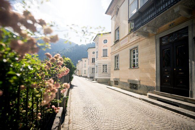
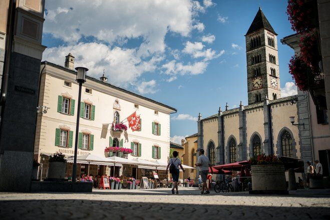
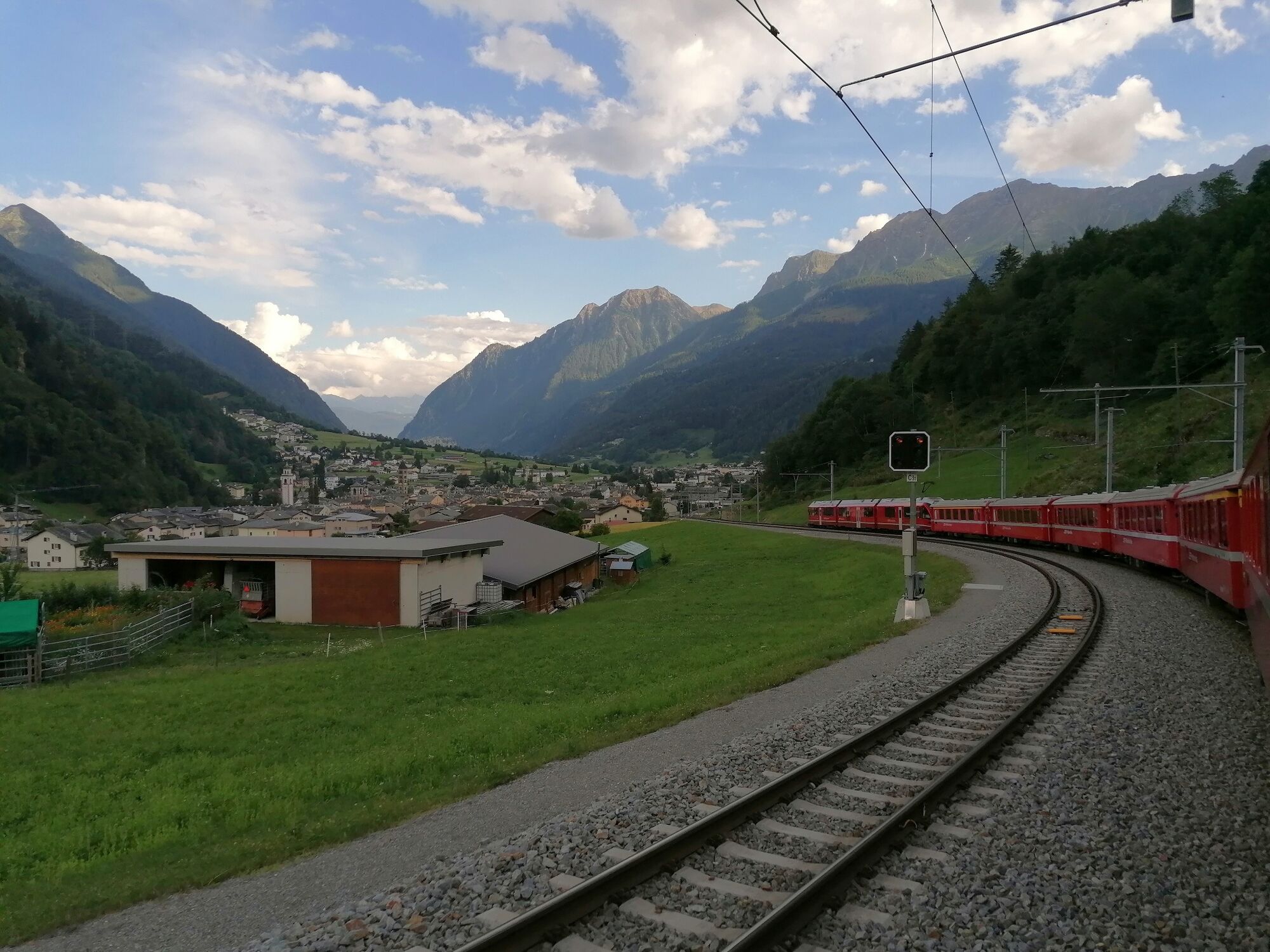
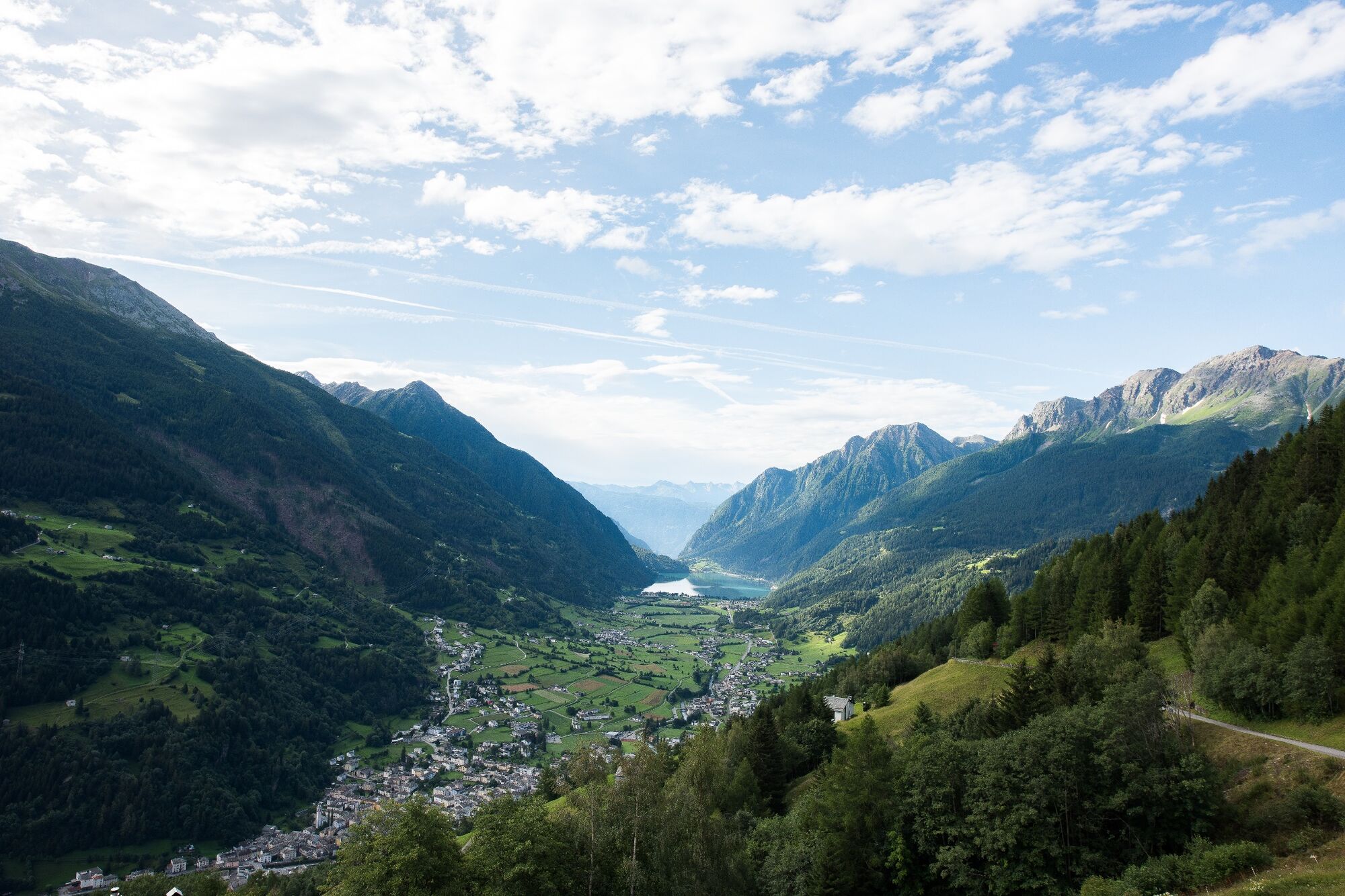
Poschiavo
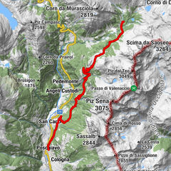
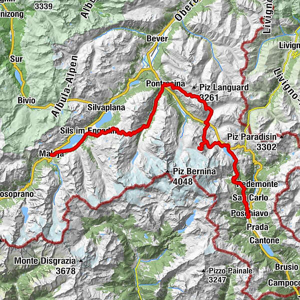
- Route
-
Puschlav (1,014 m)Poschiavo (1,014 m)0.3 kmCadera3.5 kmStazione Cavaglia6.2 kmCavaglia (1,692 m)6.2 kmBuffet Diego6.2 kmCavaglia6.6 kmAlp Grüm (2,091 m)9.5 kmAlbergo Ristorante Stazione Alp Grüm9.5 kmAlp Grüm9.9 kmBelvedere9.9 kmOspizio Bernina (2,253 m)14.5 kmBahnhofbuffet Ospizio Bernina14.6 kmDiavolezzafirn (Bergstation)22.6 kmDiavolezza (2,958 m)22.9 kmBerghaus Diavolezza (2,976 m)23.1 kmLanguard (2,326 m)39.6 kmAlp Languard39.7 kmLanguard40.1 kmPontresina (1,805 m)42.4 kmSan Spiert42.4 kmSan Niculò42.7 kmFuorcla Surlej54.0 kmMurtèl56.0 kmAlp Prasüra61.7 kmCrastas Dadains62.4 kmCrastas62.6 kmChrist-König-Kirche62.7 kmBar Cetto63.0 kmCrastas Dadour63.0 kmSuot Crastas63.0 kmMuot Marias63.2 kmSils im Engadin (1,803 m)63.2 kmAlpenrose63.3 kmSpuonda Laret63.5 kmPizs63.5 kmSils/Segl Maria Barchiröls (1,802 m)64.3 kmIls Barchiröls64.3 kmIsola (1,811 m)66.0 kmIsola (See) (1,810 m)66.7 kmPlan Cuncheta68.6 kmCresta69.2 kmLa Motta69.6 kmKirche St. Peter und Paul70.0 kmMaloja (1,809 m)70.0 kmSchweizerhaus70.1 kmMaloja Posta70.2 km
- Best season
-
JanFebMarAprMayJunJulAugSepOctNovDec
- Description
-
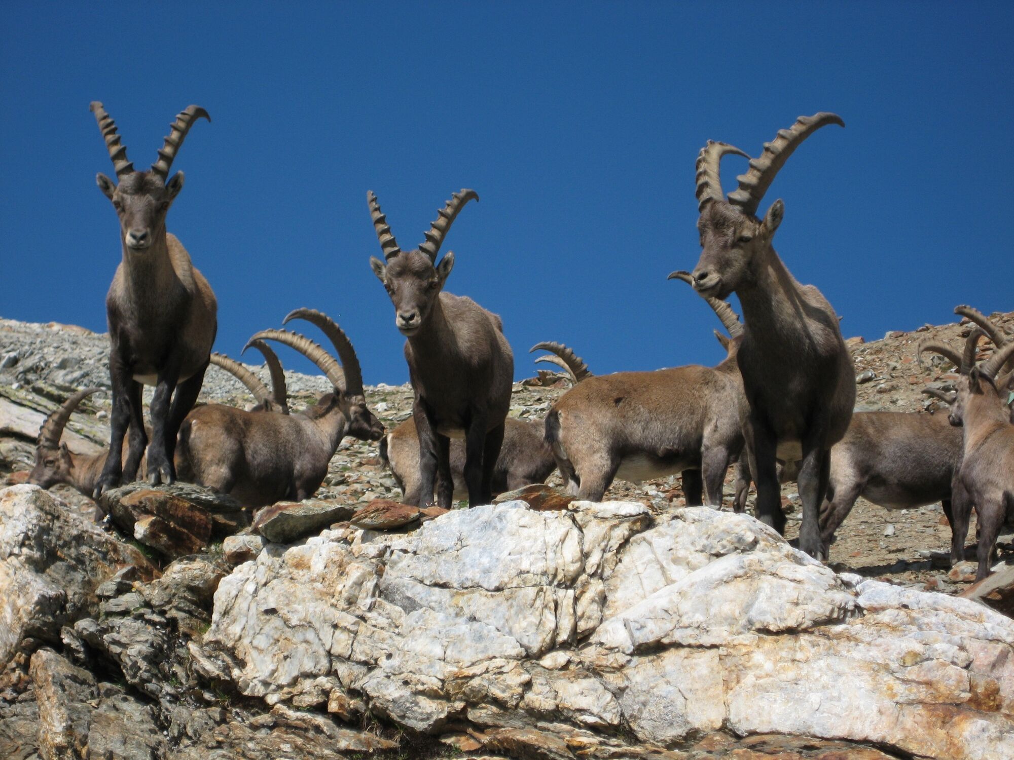
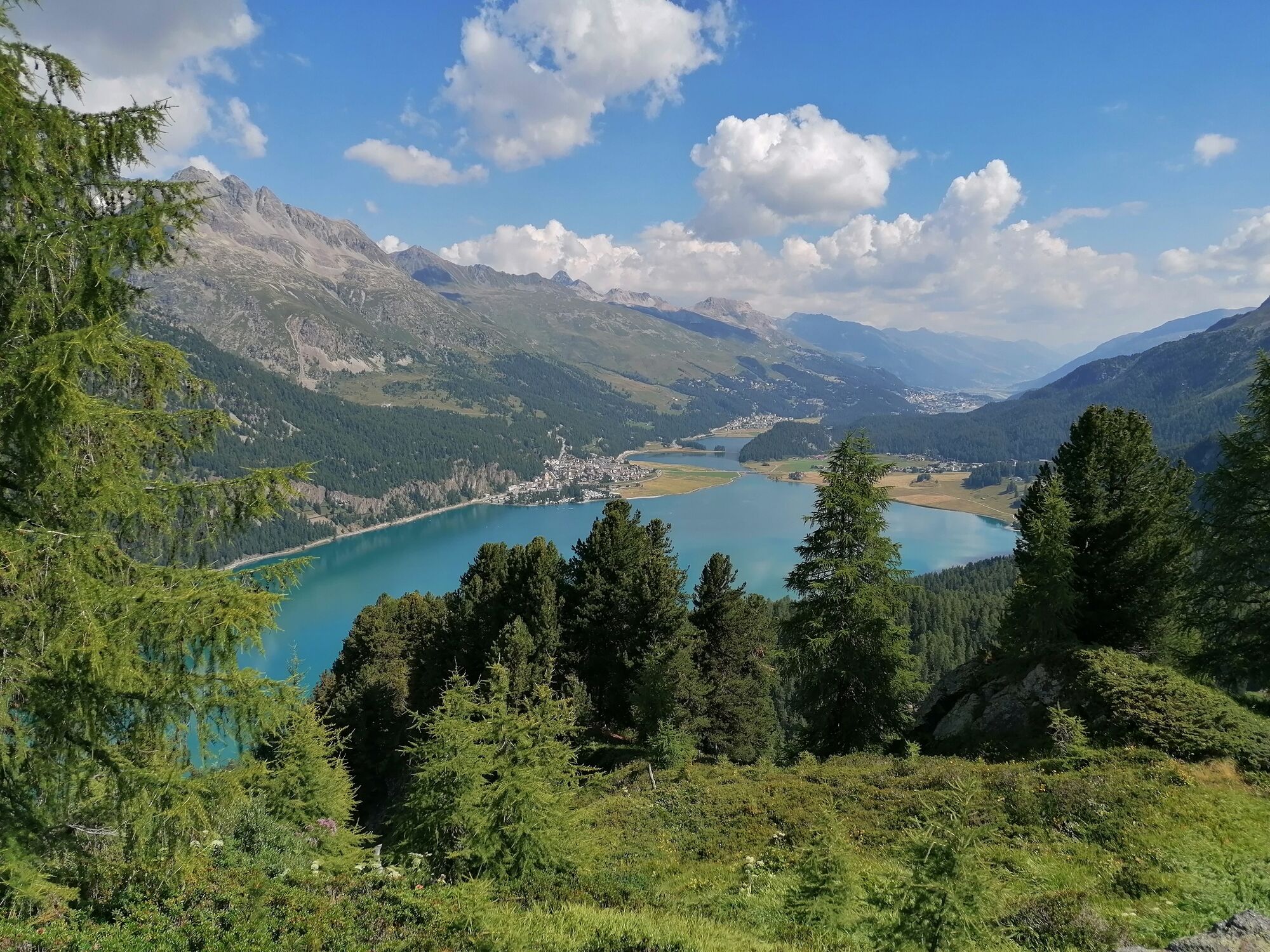
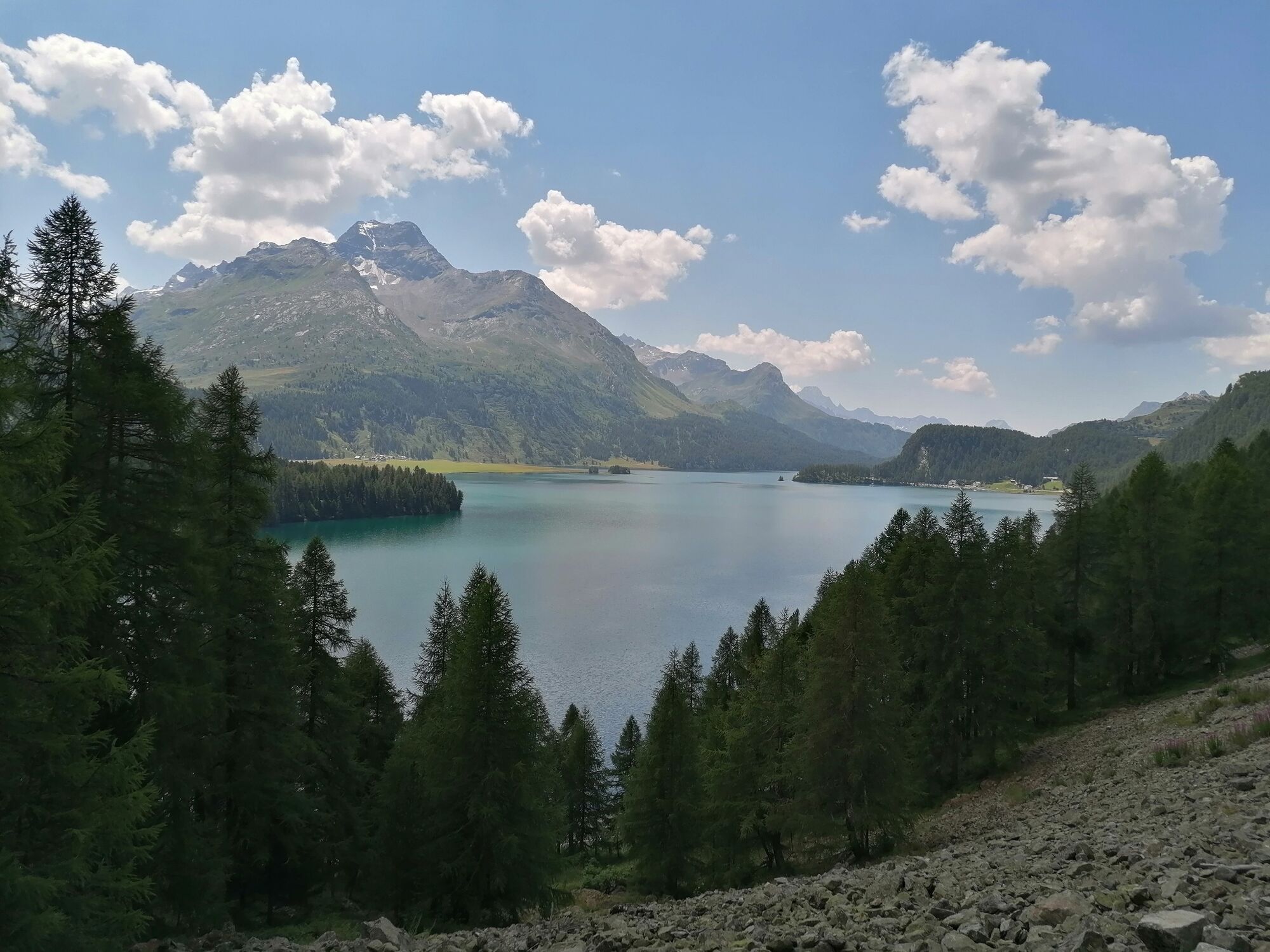
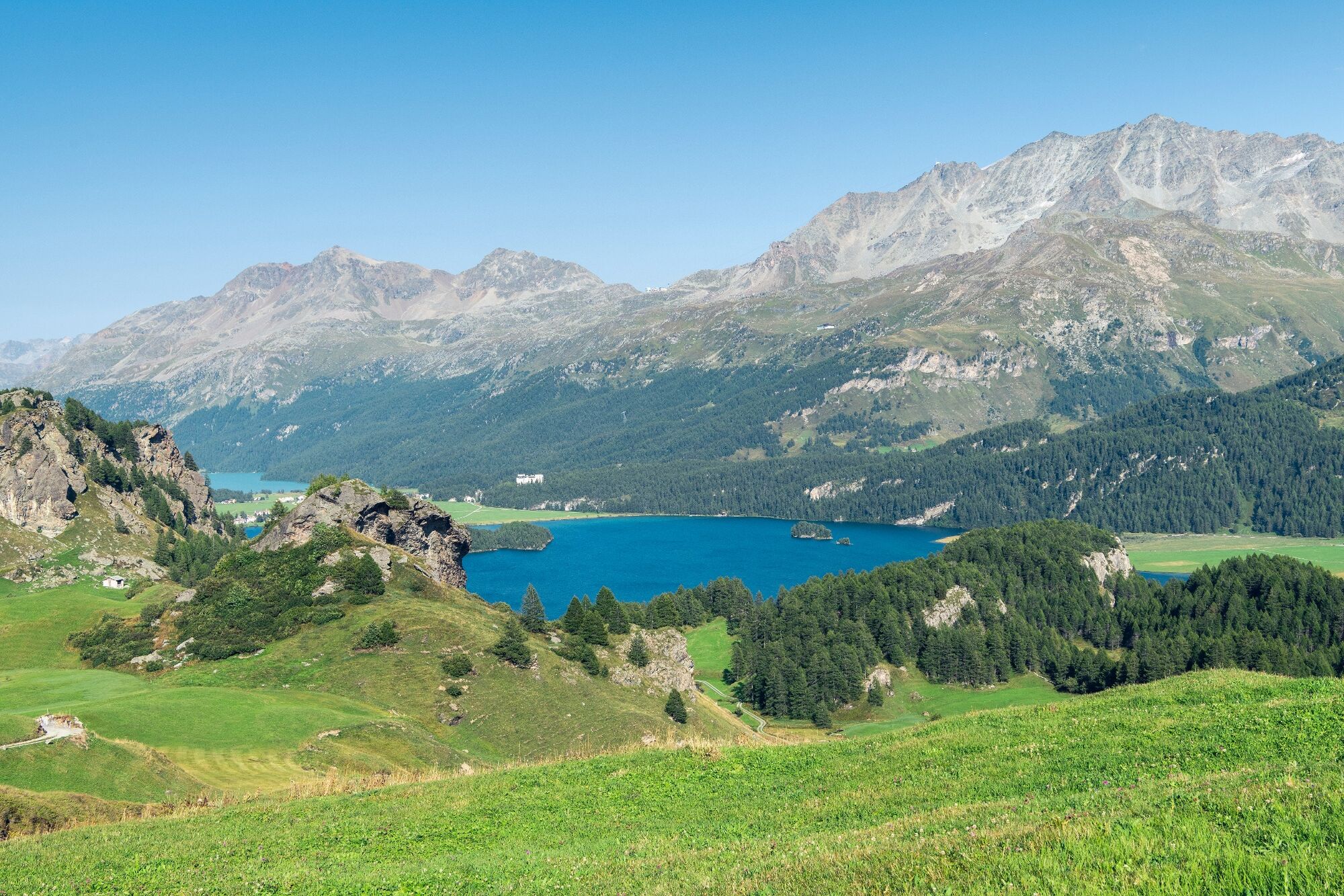
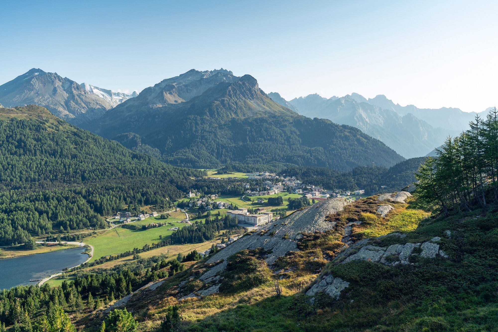
The Bernina-Tour offers wonderful views of all the glaciers in the Bernina mountain range. The route leads from Mediterranean-style Poschiavo over the Bernina Pass and the Diavolezza to Pontresina and then further up to the Fuorcla Surlej. it offers views of the Engadin’s lake-strewn landscape as you make your way to Maloja, which serves as the end point of this varied hike.
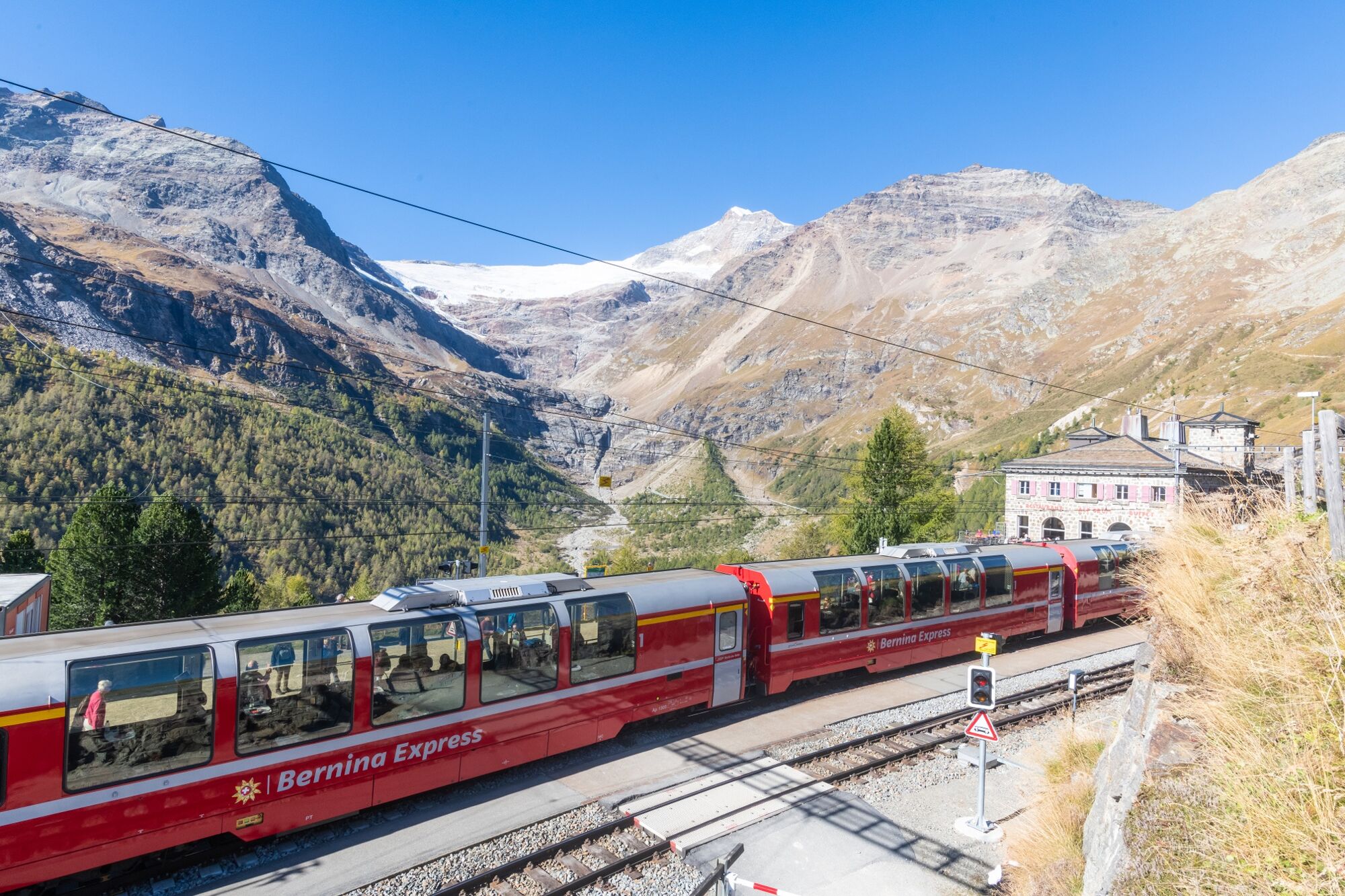
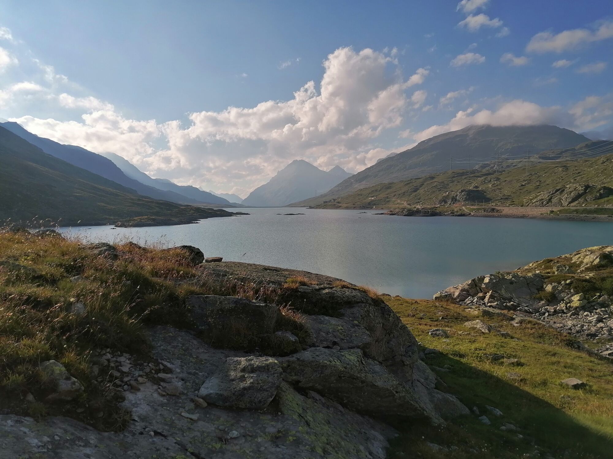
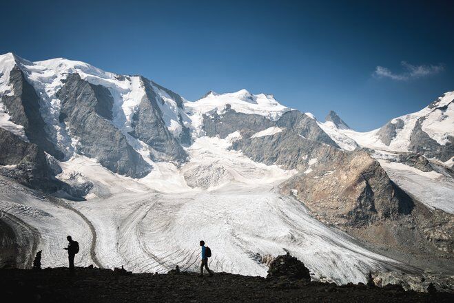
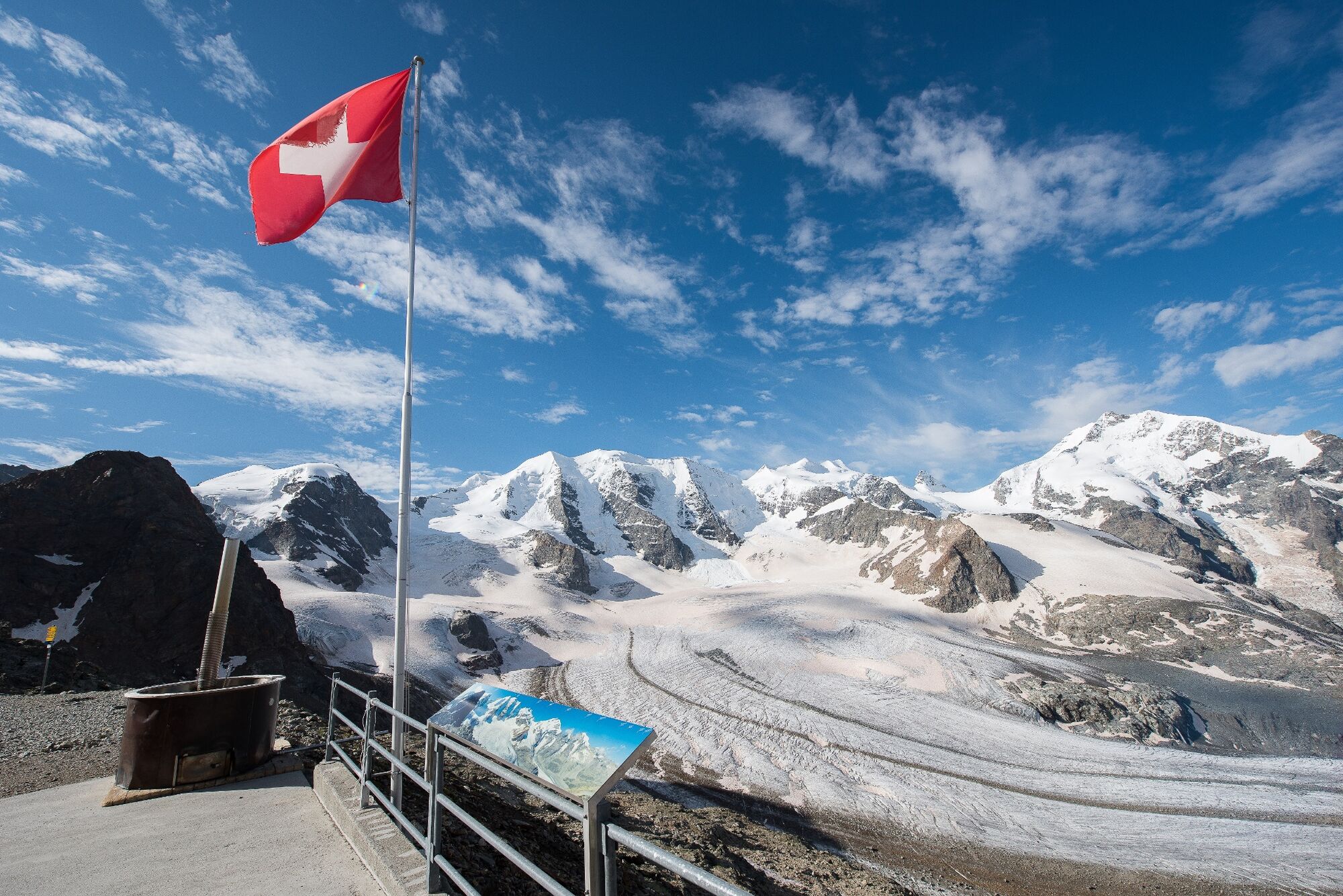
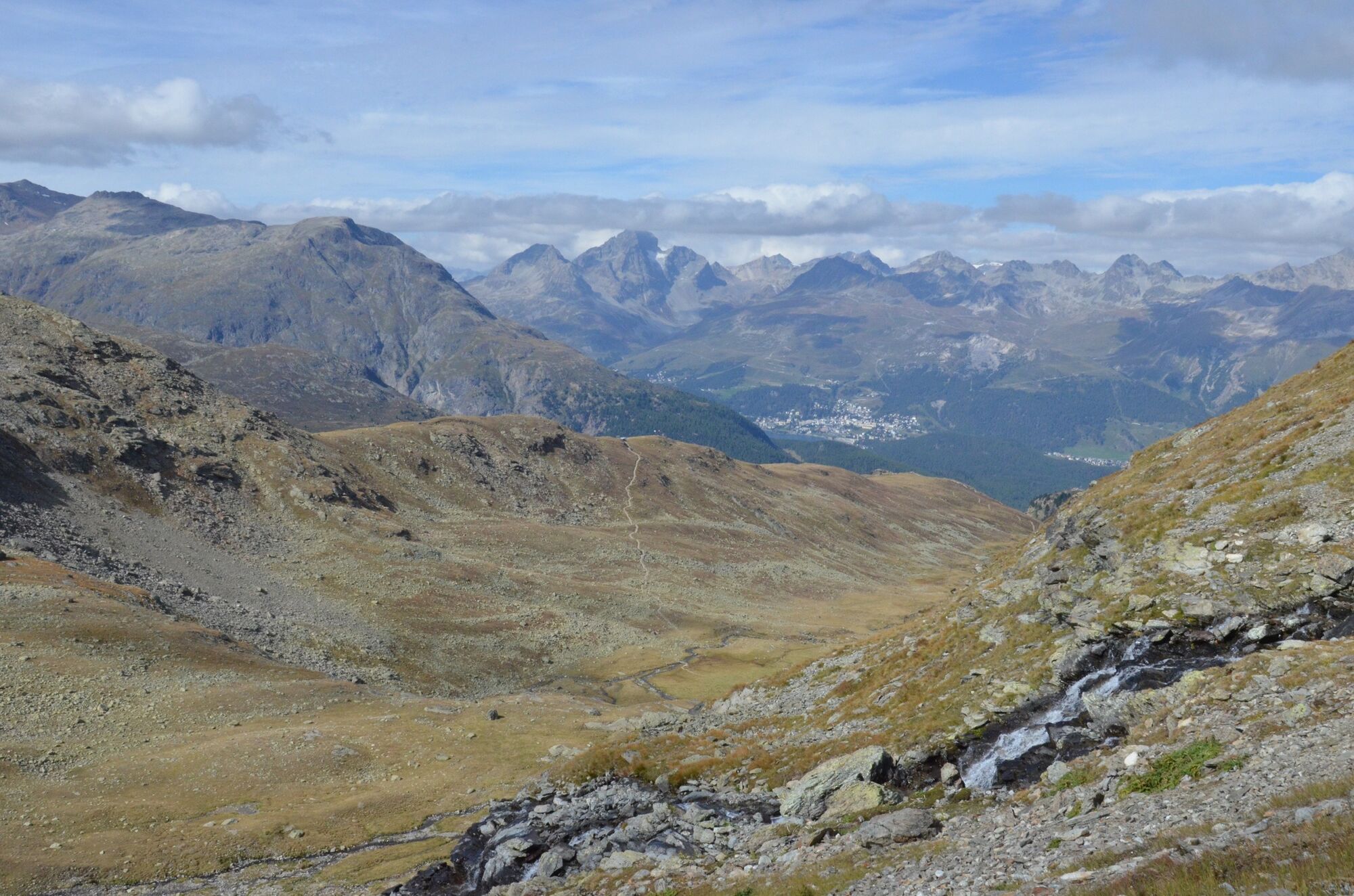
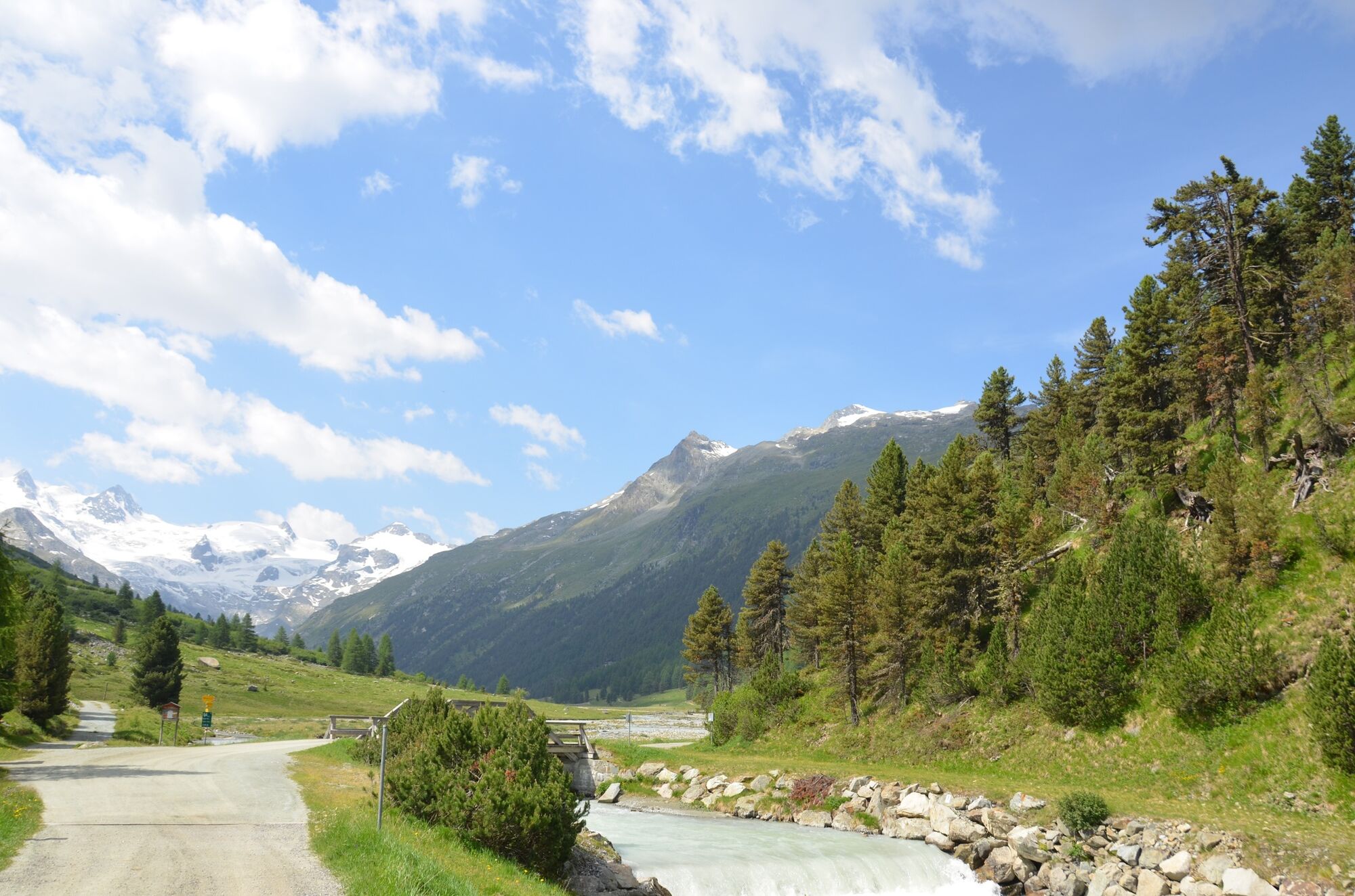
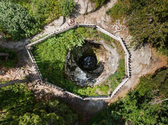
The tour begins in Poschiavo, at 1,021 metres above sea level, and leads along the UNESCO World Heritage line of the Rhaetian Railway up to the Bernina Pass at 2,328 metres. It goes via the Cavaglia Glacier Garden with its glacial mills and Alp Grüm, which provides the first view of the eastern flanks of the Bernina massif. The wide, flat path along the Lago Bianco gives the opportunity to take a breather and loosen up their muscles for the further 1,000 metres of altitude up to Munt Pers at 3,207 metres above sea level - a climb that is rewarded with a breathtaking view of the Pers and Morteratsch glaciers.
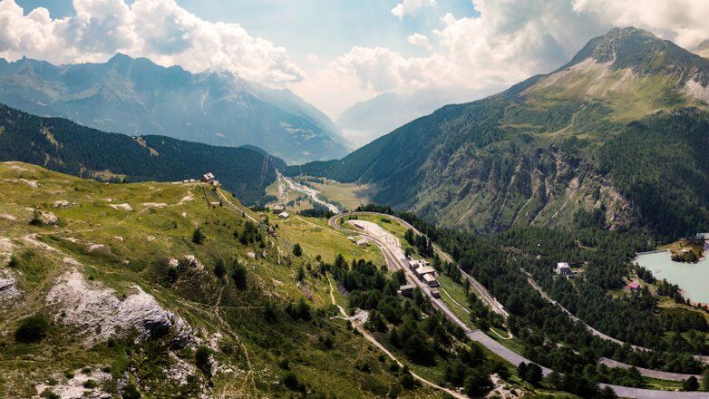
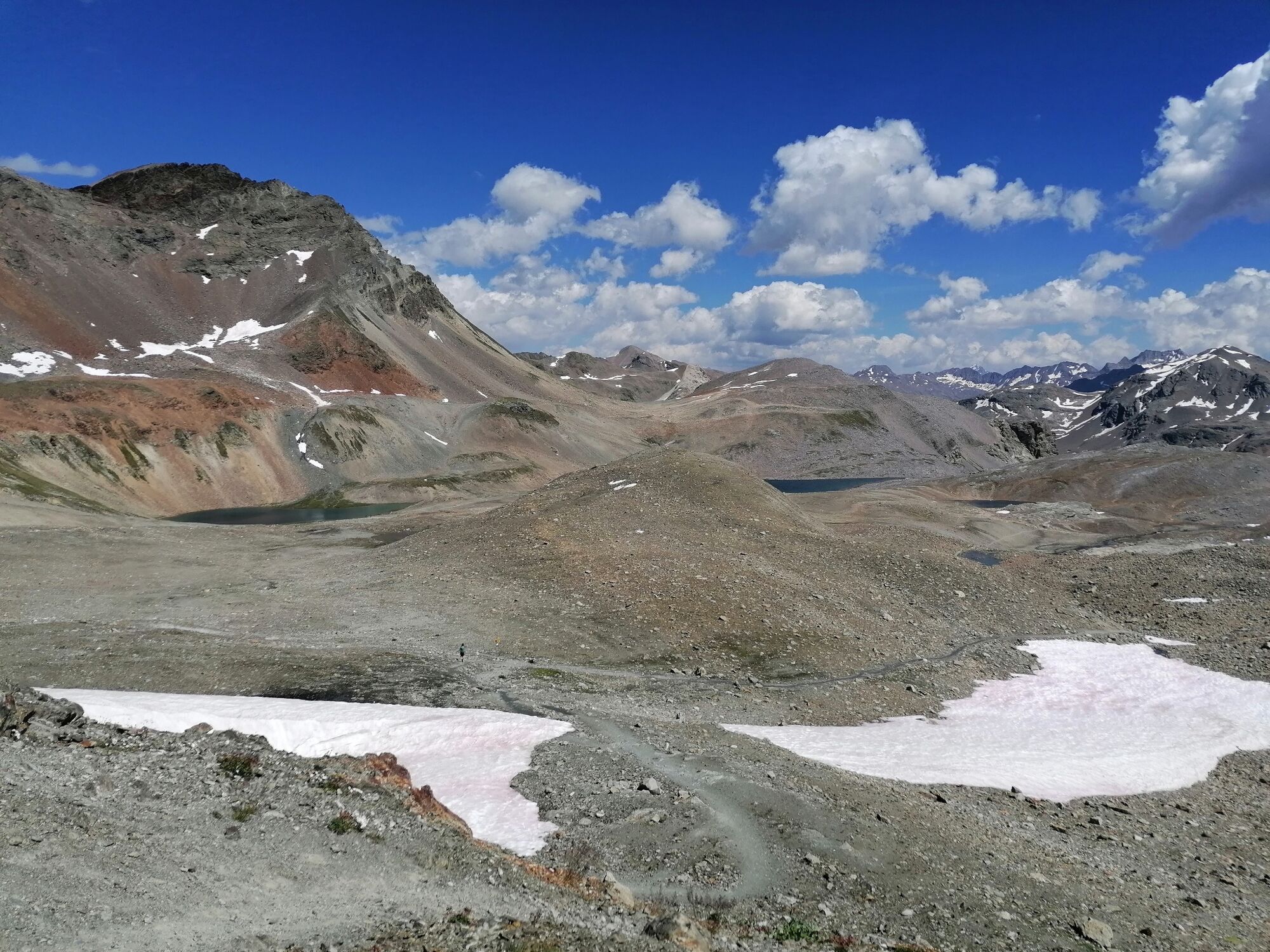
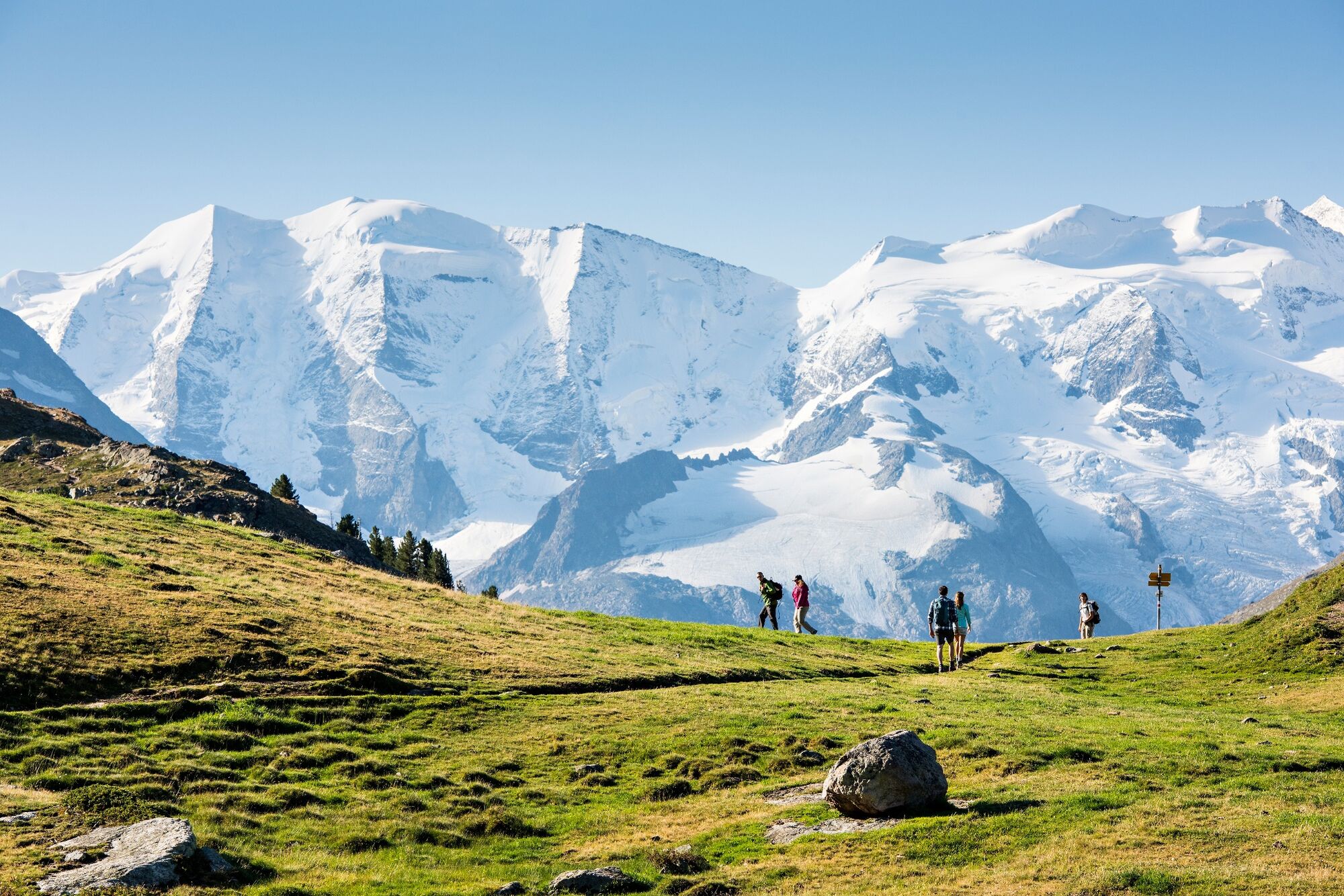
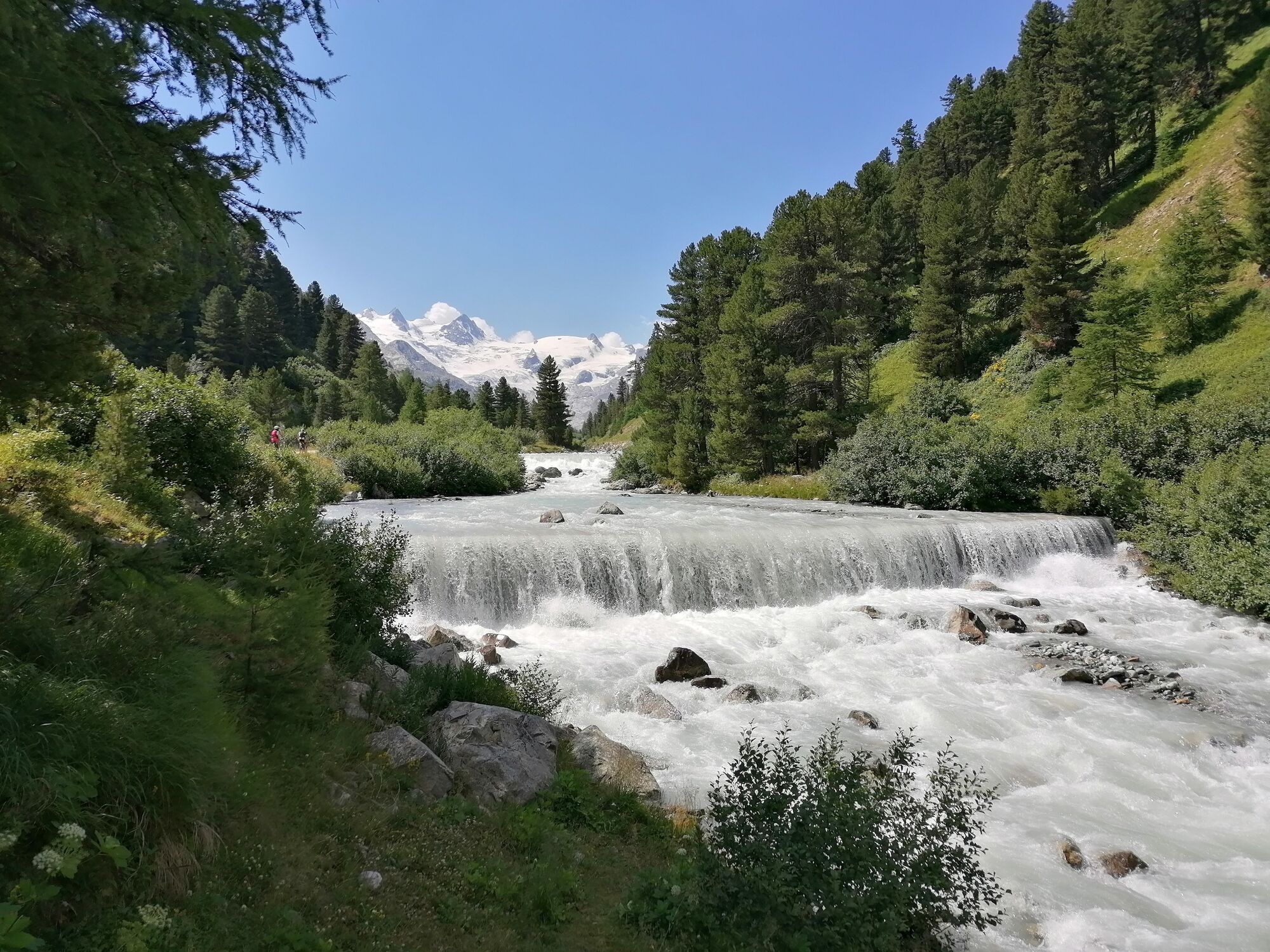
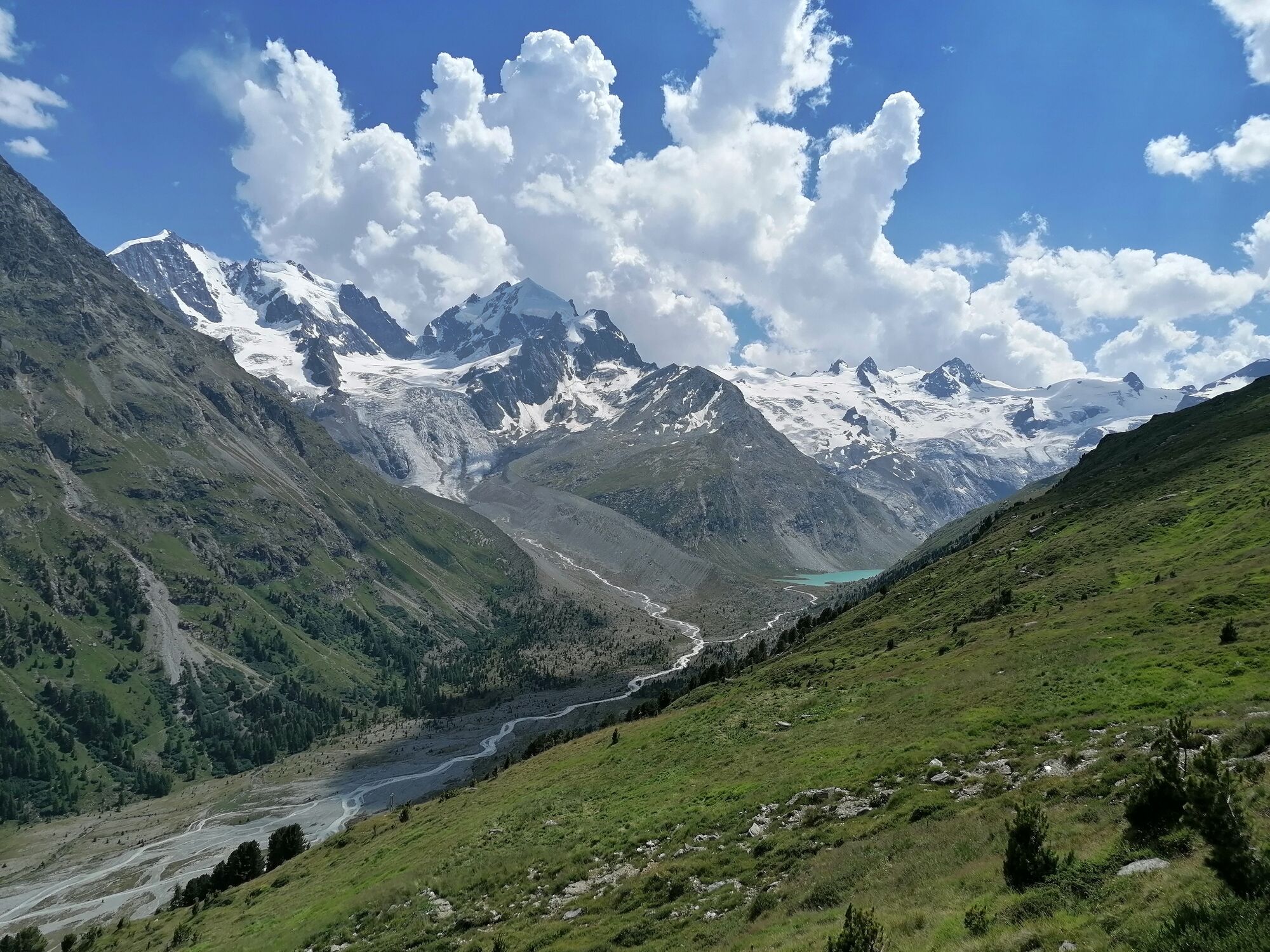
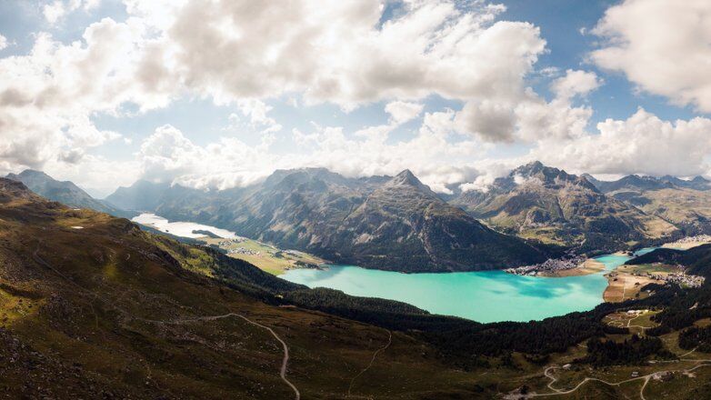
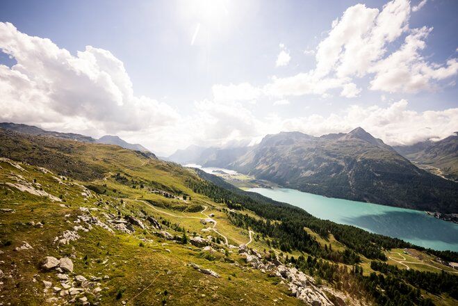
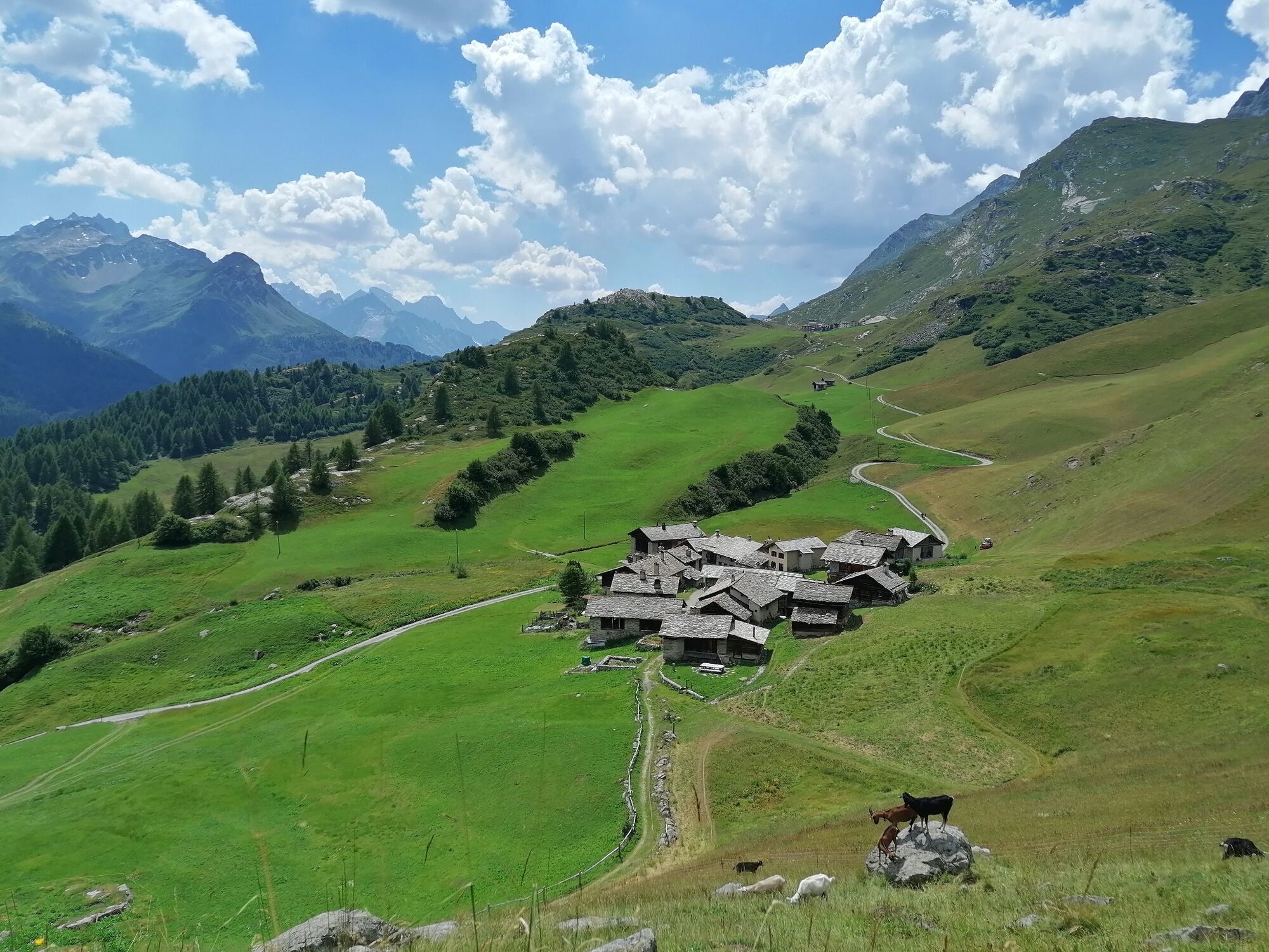
Back at the summit station of the Diavolezza gondola, the trail leads past the Lej da Diavolezza and down to the valley station. After crossing the main road, the steep ascent to the Fuorcla Pischa at 2,835 metres begins. On the descent to Pontresina, you can enjoy refreshments in the Chamanna Paradis (detour) or the restaurant Alp Languard. Upon leaving the mountaineering village of Pontresina, on the same level as the train station, you enter the pretty Val Roseg. In front of the Hotel Restaurant Val Roseg, the path turns right and climbs up to the Fuorcla Surlej while offering views of the Vadret da Roseg lake and the Bianco ridge of the Piz Bernina on the left. After the Fuorcla Surlej, the trail leads to the middle station of the Corvatsch cable car befor descends 200 vertical metres and traverses the mountain flank to Alp Prasüra and heading down to the culture village of Sils. Next, the route leads past the church in Sils Baselgia to the left side of the valley along the Via Engiadina an the past the Heidi village of Grevasalvas to Maloja.
More information
Engadin Tourismus AG
Via Maistra 1
CH-7500 St. Moritz
Phone: +41 81 830 00 01
E-mail: allegra@engadin.ch
Internet: www.engadin.chBooking
Eurotrek AG
Zürcherstrasse 42
CH-8103 Unterengstringen
Phone: +41 44 316 10 00
E-mail: eurotrek@eurotrek.ch
Internet: www.eurotrek.ch/bernina-tour-6-5 - Directions
-
Poschiavo - Cavaglia - Alp Grüm - Ospizio Bernina - Daivolezza - Fuorcla Pischa - Alp Languard - Pontresina - Val Roseg - Fuorcla Surlej - Mittelstation Corvatsch - Sils - Grevasalvas - Blaunca - Maloja
- Highest point
- 2,997 m
- Endpoint
-
Maloja
- Height profile
-
 © outdooractive.com
 - Equipment
-
Good, sturdy hiking boots, clothes suitable for the weather, sun and rain protection, enough food and drinking water, first aid kit, a good map.
- Safety instructions
-
In June there may still be snow at higher altitudes.
In the mountains, mobile phone reception is not always available.
- Tips
-
Don't start the stages too late, so that you can allow yourself enough time for stops at the excursion restaurants or viewpoints.
If you plan to use a cable car for the descent, check the timetable in advance, that you don't miss the last cable car that leaves for the valley.
- Public transportation
-
With the train on the Unesco World Heritage Line to Poschiavo.


- Author
-
The tour 53 Bernina-Tour Switzerland is used by outdooractive.com provided.


General info
-
Veltlin / Valtellina
852
-
Engadin St. Moritz
782
-
Diavolezza
278