© Engadin Samnaun Val Müstair - Andrea Badrutt

© Engadin Samnaun Val Müstair - Andrea Badrutt

© Engadin Samnaun Val Müstair - Andrea Badrutt

© Engadin Samnaun Val Müstair - Andrea Badrutt

- Brief description
-
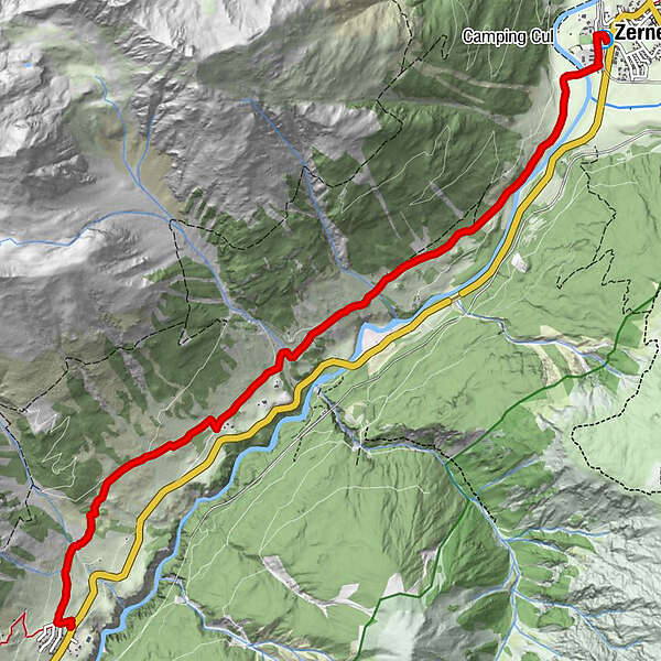
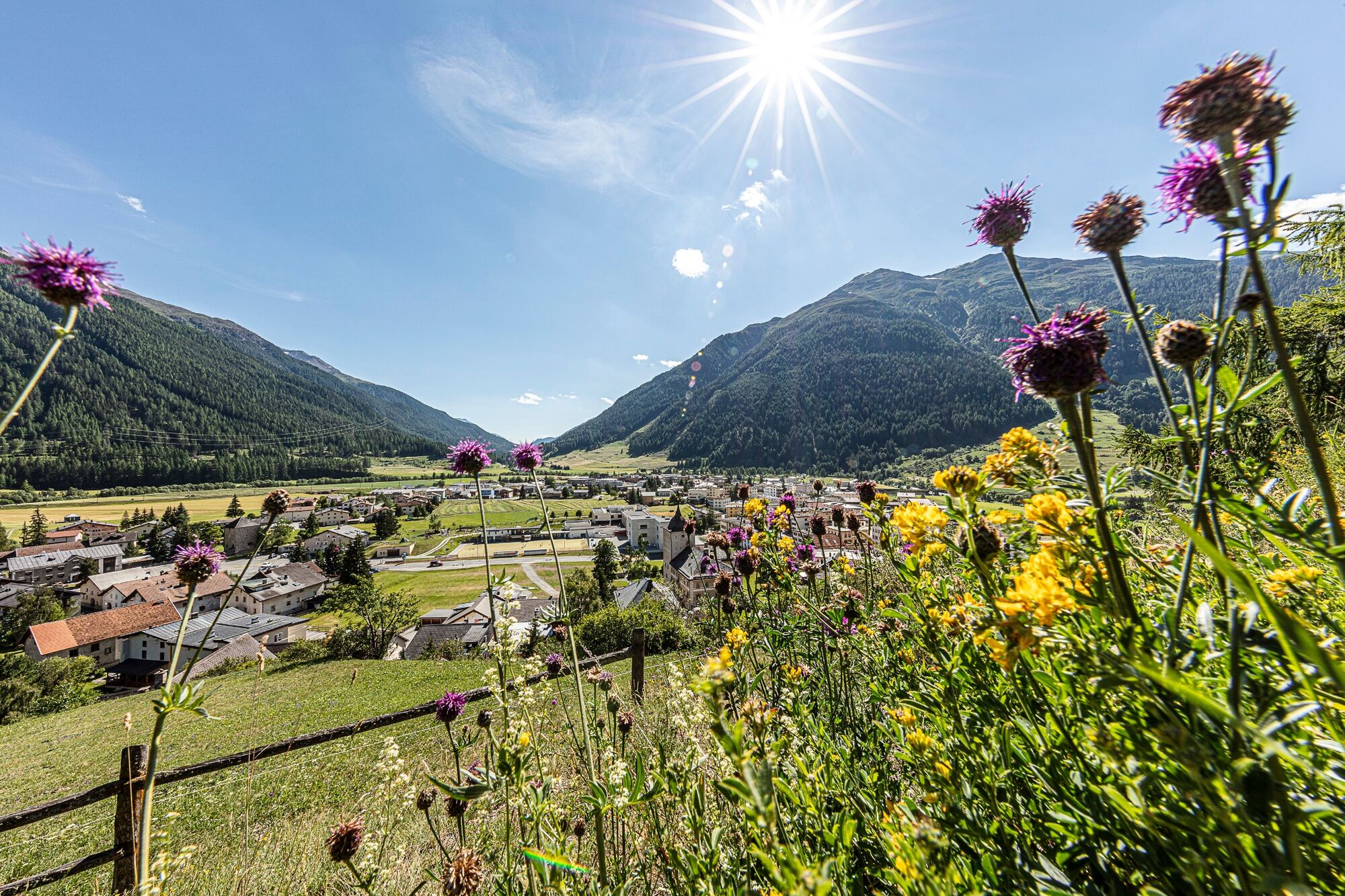
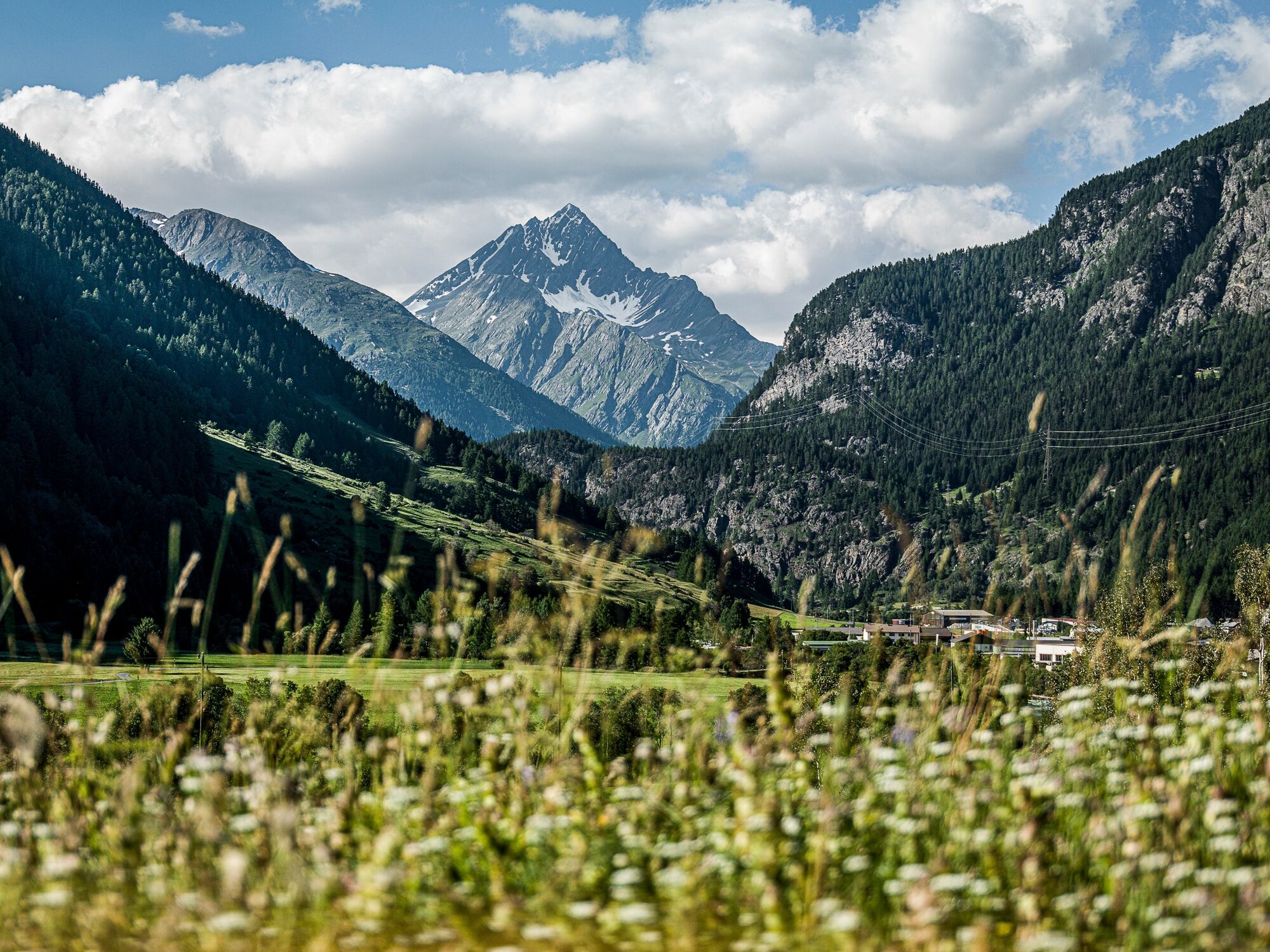
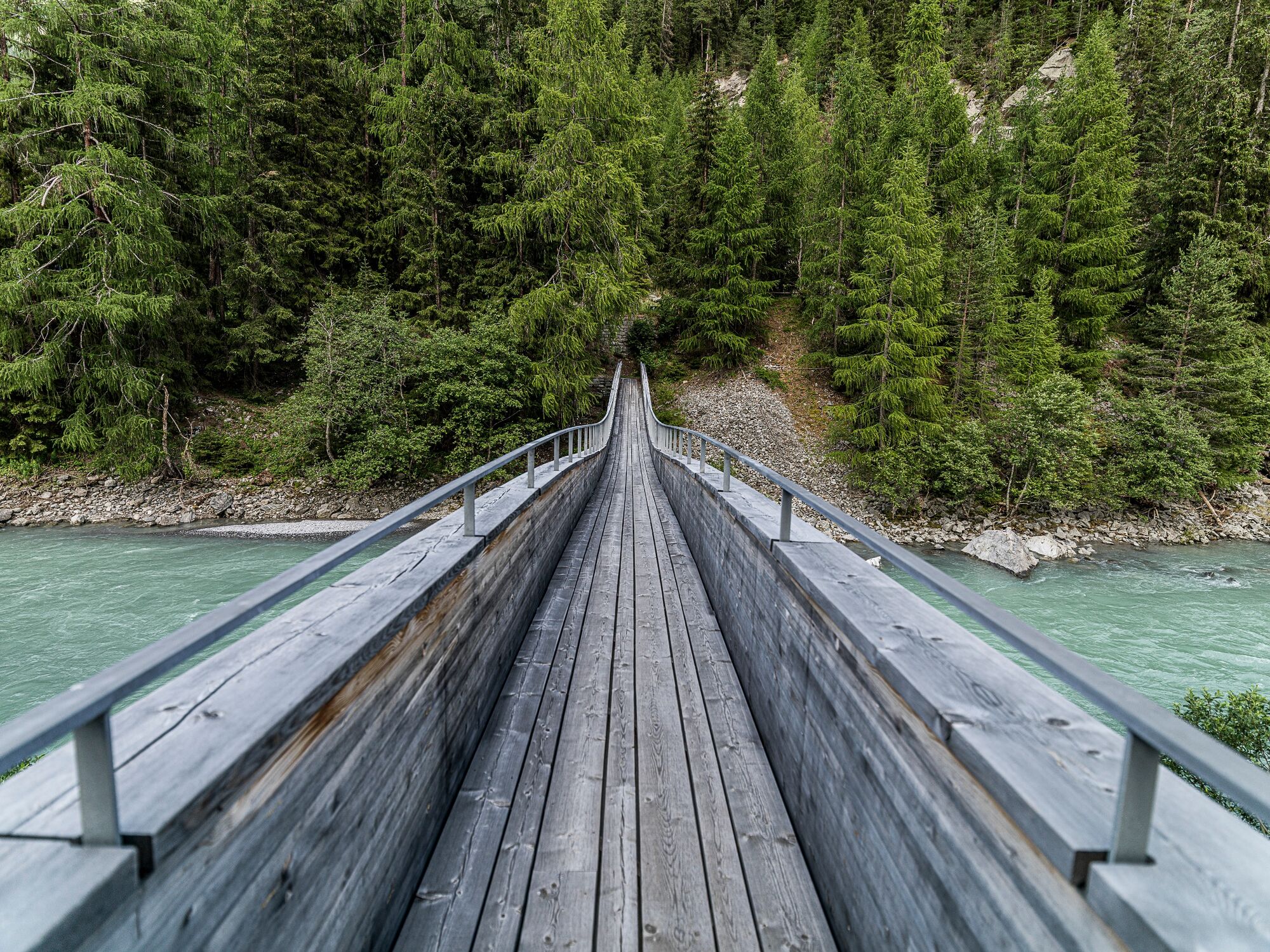
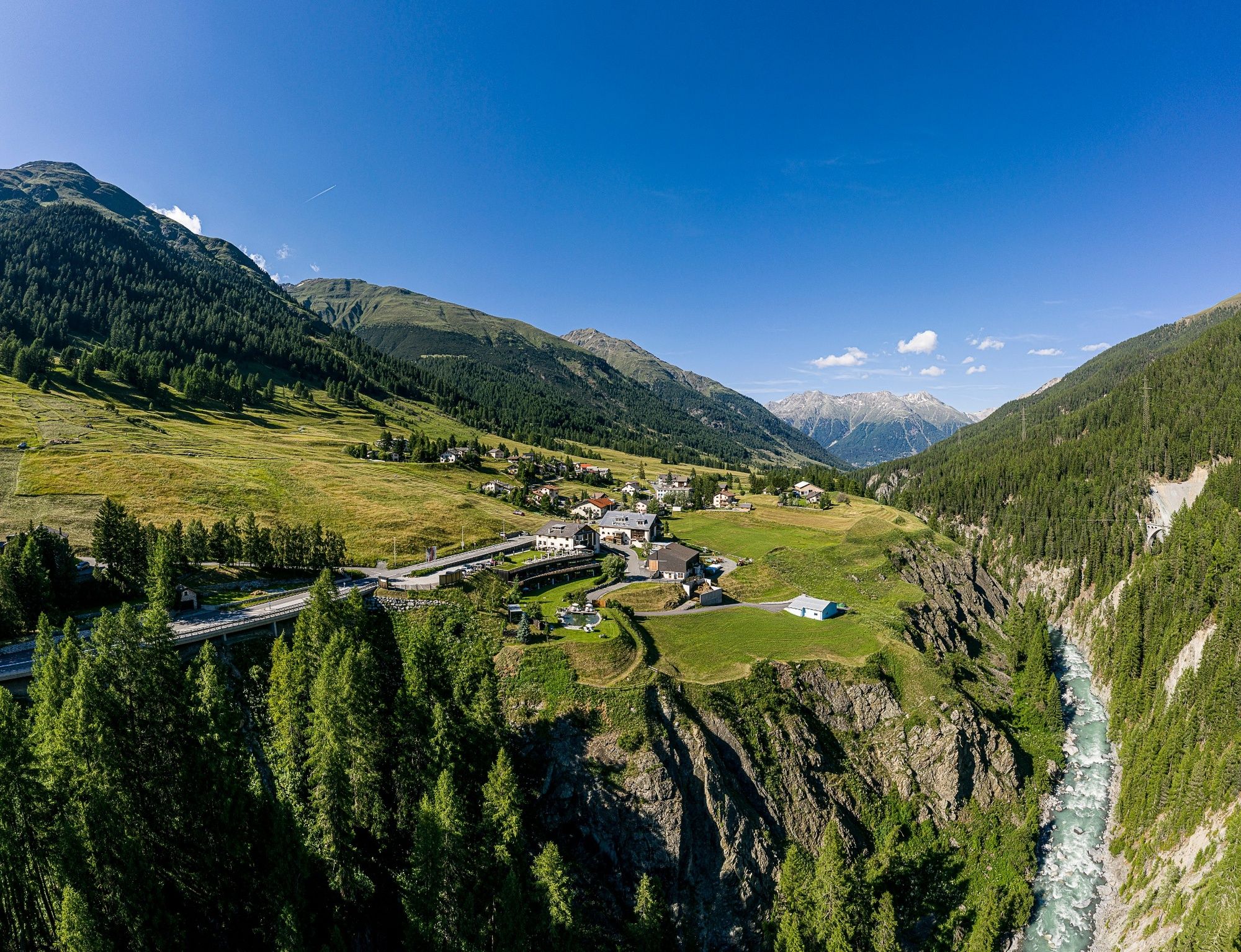
Hiking trail on the Via Engiadina from Zernez to Brail.
- Difficulty
-
medium
- Rating
-
- Starting point
-
Zernez station
- Route
-
Zernez (1,474 m)0.0 kmBrail7.4 km
- Description
-
After the bridge at the campsite, the sunny trail on the Via Engiadina leads slightly uphill via Prazet along lush flower meadows to Brail. A sunny hike suitable for prams with views of the Inn or the National Park on the opposite side of the valley.
- Highest point
- 1,718 m
- Endpoint
-
Brail
- Height profile
-
 © outdooractive.com
 - Equipment
-
Sturdy shoes, weatherproof clothing, water bottle, rain and sun protection
- Safety instructions
-
The tour was assessed in favourable weather conditions, it is imperative that the current weather conditions and weather forecasts are observed before starting the tour.
Emergency call:
144 Emergency call, first aid
1414 Mountain rescue REGA
112 International emergency call
- Tips
-
Brail – the small fraction of Zernez is home to the smallest 5-star superior hotel in Switzerland.
- Additional information
- Directions
-
- From the north: via Landquart - Klosters by car transport through the Vereina Tunnel (Selfranga - Sagliains) or via the Flüela Pass into the Lower Engadine on H27
- From the east: via Landeck / Austria in the direction of St. Moritz on H27
- From the south: via Reschenpass (Nauders-Martina) or Ofenpass (Val Müstair-Zernez) on H27
Zernez is located directly on the Ofenpass and on the Engadine road H27 (10 minutes drive from Vereina south portal.
- Public transportation
-
- By train (from Chur, Landquart/Prättigau, from Upper-Engadine or from Scuol) hourly to Zernez
- By post bus (from Mals and Val Müstair) hourly to Zernez
- Parking
-
- free parking at the station Zernez
- free parking below the national parc visitor centre
- Author
-
The tour Zernez – Brail is used by outdooractive.com provided.
GPS Downloads


General info
Refreshment stop
Other tours in the regions
-
Davos Klosters
927
-
Zernez
138