- Brief description
-
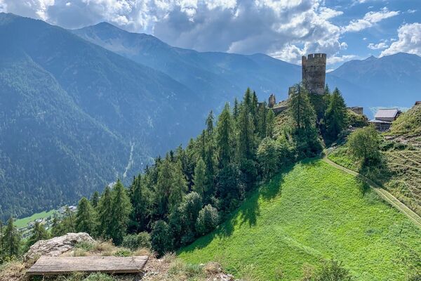
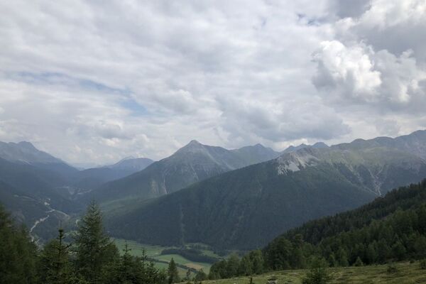
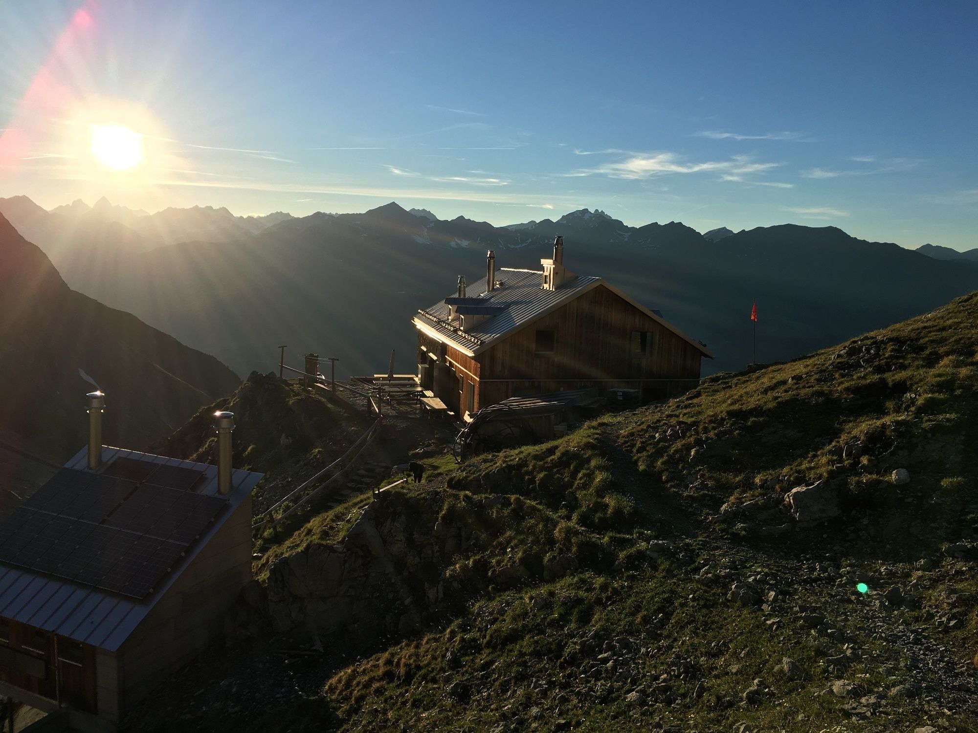
The panoramic mountain hike from San Jon to Chamonna Lischana with breathtaking views.
- Difficulty
-
medium
- Rating
-
- Starting point
-
PostBus stop San Jon, Scuol
- Route
-
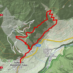
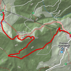
San Jon0.4 kmFuntana Cotschna1.6 kmLischanahütte6.0 kmFuntana Cotschna10.3 kmSan Jon11.4 km
- Best season
-
JanFebMarAprMayJunJulAugSepOctNovDec
- Description
-
From the San Jon PostBus stop, the trail initially leads along a field road for about one kilometre. Then you continue along a mountain hiking trail. It first zigzags through dense forest and later through open terrain to the Chamonna Lischana SAC (2500 metres above sea level).
- Directions
-
San Jon post bus stop
Mountain trail through dense forest
open terrain
Chamonna Lischana SAC (2500 m above sea level)
same way back
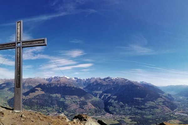
- Highest point
- 2,499 m
- Endpoint
-
PostBus stop San Jon, Scuol
- Height profile
-
 © outdooractive.com
 - Equipment
-
Good shoes, rain and sun protection, water bottle, first aid kit
- Safety instructions
-
The tour has been assessed in favourable weather conditions, it is imperative that current weather conditions and weather forecasts are taken into account before starting the tour. This hike requires elementary alpine experience, orientation skills, hiking boots are recommended.
Emergency call:
144 Emergency call, first aid
1414 Mountain rescue REGA
112 International emergency call
- Tips
-
Enjoy the view of the Lower Engadine as well as the evening atmosphere from up here a little longer and spend the night in the Chamonna Lischana SAC. You can find availabilities and further information here.
- Additional information
- Arrival
-
- Von Norden: über Landquart – Klosters per Autoverlad durch den Vereinatunnel (Selfranga - Sagliains) oder über den Flüelapass ins Unterengadin auf H27
- Von Osten: via Landeck / Österreich in Richtung St. Moritz auf H27
- Von Süden: via Reschenpass (Nauders-Martina) oder Ofenpass (Val Müstair-Zernez) auf H27
- Von Scuol Richtung S-charl bis San Jon
- Public transportation
-
- With the Rhaetian Railway (from Chur, Landquart/Prättigau or from the Upper Engadine) hourly to Scuol-Tarasp.
- By PostBus No. 5 in the direction of S-charl, hourly service to the San Jon stop.
- Parking
-
San Jon

- Author
-
The tour San Jon - Chamonna Lischana (Return Route) is used by outdooractive.com provided.


-
Vinschgau
1291
-
Engadin Scuol Zernez
734
-
Scuol
137