
- Brief description
-
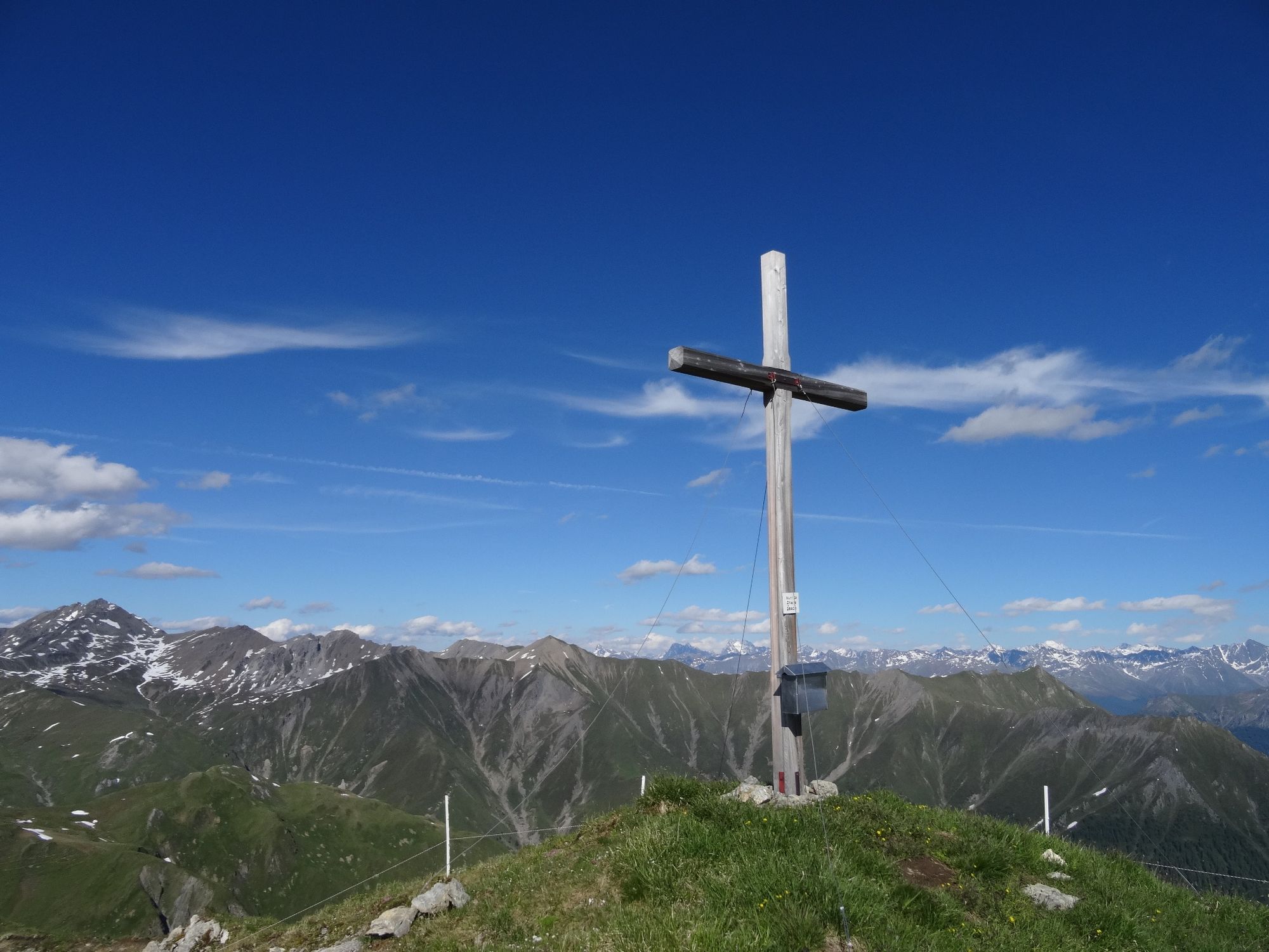
From the Alp Trider saddle a short ascent leads to Piz Munschuns, then a steep descent to Samnaun-Compatsch.
- Difficulty
-
medium
- Rating
-
- Starting point
-
PostBus stop Samnaun-Ravaisch, mountain railroads
- Route
-
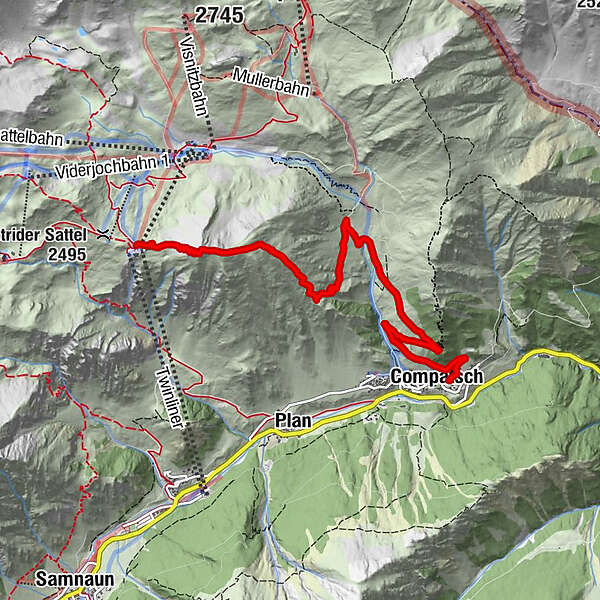
Piz Munschuns0.8 kmLaret (1,731 m)5.5 kmPfarrkirche St. Jakob6.4 kmCompatsch (1,715 m)6.4 km
- Best season
-
JanFebMarAprMayJunJulAugSepOctNovDec
- Description
-
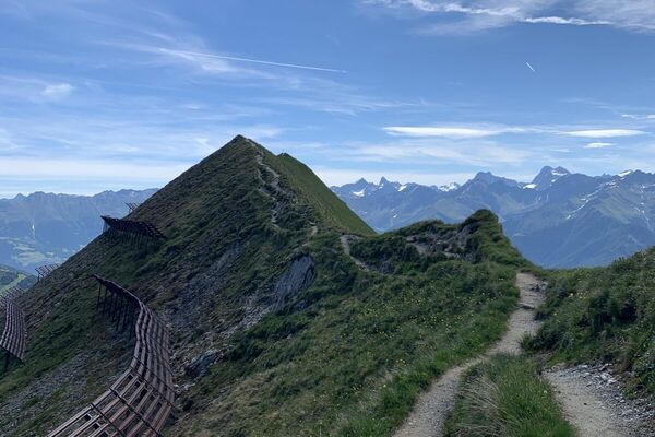
From the Alp Trider saddle you climb the path in about 30 minutes to Piz Munschuns, where a fantastic view of the Samnaun valley and the ski area awaits you. Then the steep descent begins over the flowering alpine meadows of Urezza da Tea and past the Alpstein, one of the largest erratic blocks in Switzerland, to Samnaun-Compatsch. Alternatively, you can also hike from Piz Munschuns back to the Alp Trider saddle and from there via the alp road to Samnaun-Compatsch.
- Directions
-
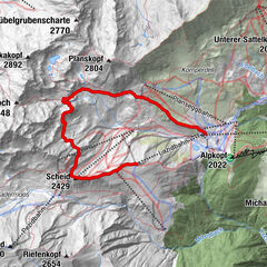
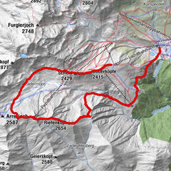
Alp Trider saddle, Piz Munschuns, Urezza da Tea, Alpstein, Samnaun-Compatsch
- Highest point
- 2,637 m
- Endpoint
-
PostBus stop Samnaun-Compatsch, adventure pool
- Height profile
-
 © outdooractive.com
 - Equipment
-
Good shoes, rain and sun protection, water bottle, bandages.
- Safety instructions
-
The tour has been evaluated under favorable weather conditions. Current weather conditions and weather forecasts must be taken into account before the tour starts. This hike requires elementary alpine experience, orientation skills, hiking boots are recommended.
Emergency call:
144 Emergency call, first aid
1414 Mountain rescue REGA
112 International emergency call
- Additional information
- Directions
-
- From the north: via Landquart - Klosters by car transport through the Vereina tunnel (Selfranga - Sagliains) Then take the H27 in the direction via Scuol and Martina to Vinadi. At the junction Vinadi to Samnaun (about 1 hour from Vereina Südportal)
- From the east: via the Inn valley road B180 via Landeck to Pfunds, junction Kajetansbrücke and via Spiss to Samnaun.
- From the south: via Reschenpass (Nauders) on B180 to Pfunds, junction Kajetansbrücke and via Spiss to Samnaun.
- Public transportation
-
- With the Rhaetian Railway (from Chur, Landquart/Prättigau or from the Upper Engadine) every hour to Scuol-Tarasp station
- Continue with the PostBus (from Scuol-Tarasp or Martina, Cunfin) every hour to the PostBus stop Samnaun-Ravaisch, mountain railroads
- In Samnaun during the day hourly connection with the Samnaunbus to the PostBus stop Samnaun-Ravaisch, cable cars
- Parking
-
Parking at the cable cars in Samnaun-Ravaisch


- Author
-
The tour Piz Munschuns is used by outdooractive.com provided.