
- Brief description
-
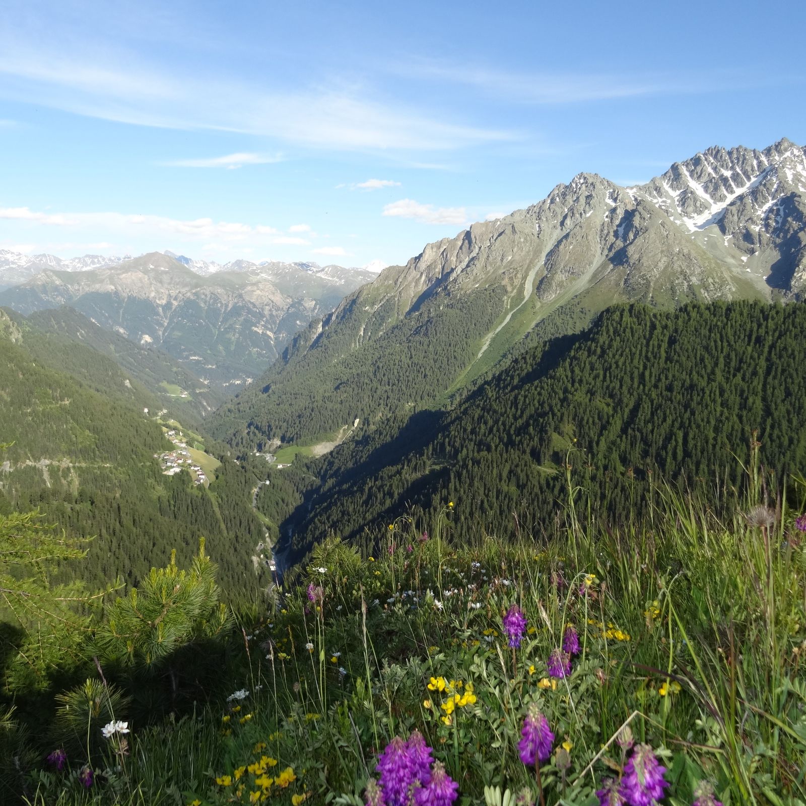
Munt da Chierns is a beautiful panoramic mountain high above Samnaun-Compatsch.
- Difficulty
-
difficult
- Rating
-
- Starting point
-
PostBus stop Samnaun-Compatsch, adventure pool
- Route
-
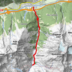
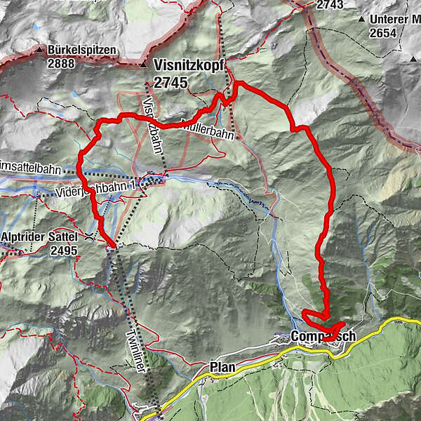
Compatsch (1,715 m)Pfarrkirche St. Jakob0.1 kmLaret (1,731 m)0.9 kmMunt da Chierns4.5 kmAlp Bella6.2 kmMullerbahn (2,516 m)7.1 kmAlp Trider Sattelbahn (2,509 m)10.1 km
- Best season
-
JanFebMarAprMayJunJulAugSepOctNovDec
- Description
-
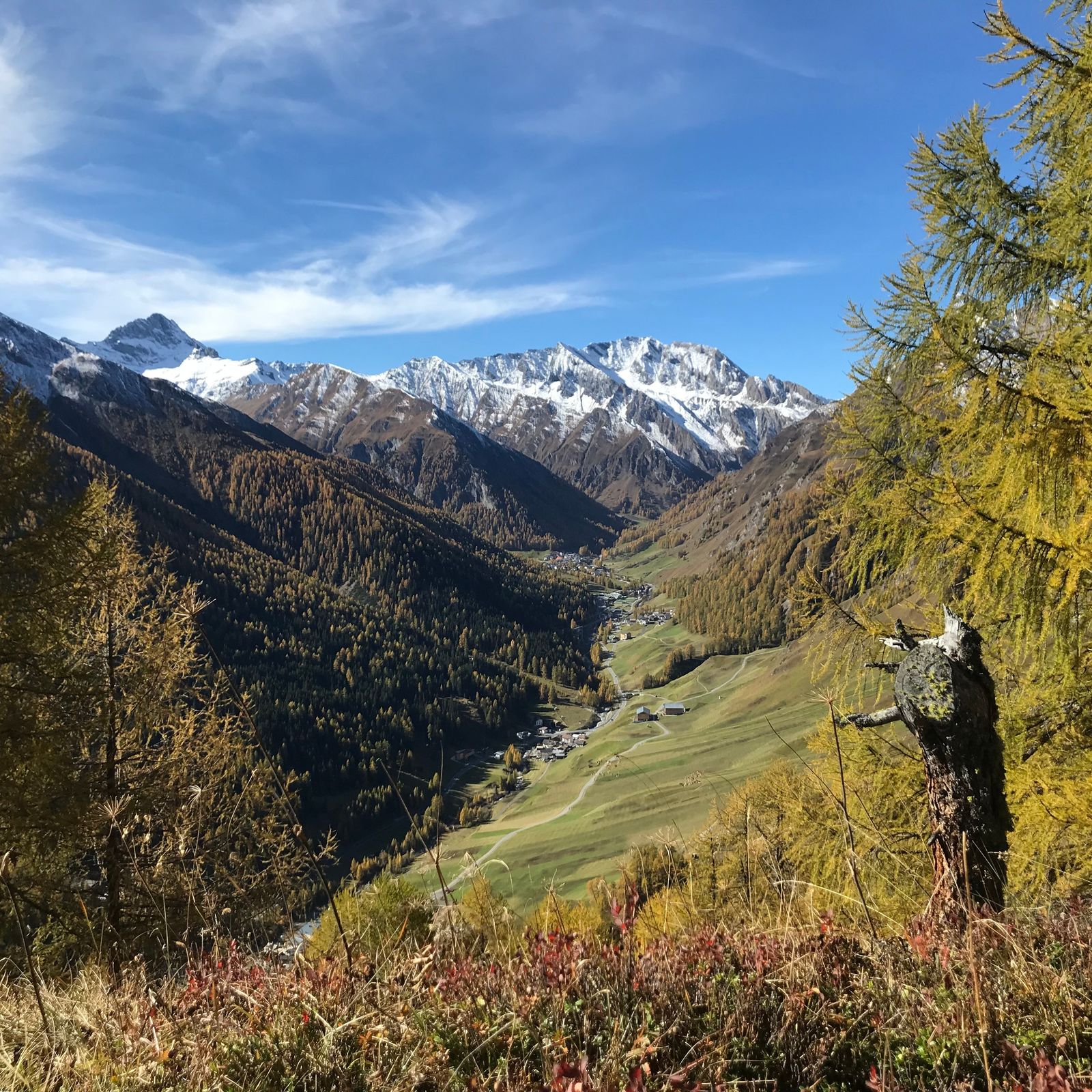
From Samnaun-Compatsch a well-developed forest road leads to the Tschoccas forest cabin, and on through the beautiful larch and Swiss stone pine forest toward Piz Urezza. Now the ascent begins over flowering alpine meadows to Munt da Chierns. From Munt da Chierns you have a great view of the surrounding mountains and the Zanders valley. After the descent on the path via Spatlasattel you can take a break at the shepherd's family, from where you continue towards Alp Trida and Alp Trider saddle. Alternatively, you can reach Alp Trida saddle by chair-lift from Alp Trida and then by cable-car to Samnaun-Ravaisch.
- Directions
-
Samnaun-Compatsch, Piz Urezza, Munt da Chierns, Spatlasattel, Alp Bella, Alp Trida, Alp Trider Sattel
- Highest point
- 2,675 m
- Endpoint
-
PostBus stop Samnaun-Ravaisch, mountain railroads
- Height profile
-
 © outdooractive.com
 - Equipment
-
Good shoes, rain and sun protection, water bottle, bandages.
- Safety instructions
-
The tour has been evaluated under favorable weather conditions. Current weather conditions and weather forecasts must be taken into account before the tour starts. This hike requires elementary alpine experience, orientation skills, hiking boots are recommended.
Emergency call:
144 Emergency call, first aid
1414 Mountain rescue REGA
112 International emergency call
- Additional information
- Directions
-
- From the north: via Landquart - Klosters by car transport through the Vereina tunnel (Selfranga - Sagliains) Then take the H27 in the direction via Scuol and Martina to Vinadi. At the junction Vinadi to Samnaun (about 1 hour from Vereina Südportal)
- From the east: via the Inn valley road B180 via Landeck to Pfunds, junction Kajetansbrücke and via Spiss to Samnaun.
- From the south: via Reschenpass (Nauders) on B180 to Pfunds, junction Kajetansbrücke and via Spiss to Samnaun.
- Public transportation
-
- With the Rhaetian Railway (from Chur, Landquart/Prättigau or from the Upper Engadine) every hour to Scuol-Tarasp station
- Continue with the PostBus (from Scuol-Tarasp or Martina, Cunfin) every hour to the PostBus stop Samnaun-Compatsch, adventure pool
- In Samnaun during the day hourly connection with the Samnaunbus to the PostBus stop Samnaun-Compatsch, adventure pool
- Parking
-
- Parking spaces in Samnaun-Laret below the alpine dairy.
- Parking spaces in Samnaun-Compatsch near the school/adventure bath
- Author
-
The tour Samnaun-Compatsch – Munt da Chierns – Alptrider Sattel is used by outdooractive.com provided.