© Destination Davos Klosters - Fredi Michel

© Destination Davos Klosters - Fredi Michel

© Destination Davos Klosters - Fredi Michel

© Destination Davos Klosters - Fredi Michel

© Destination Davos Klosters - Fredi Michel

© Destination Davos Klosters - Fredi Michel

© Destination Davos Klosters - Fredi Michel

- Route
-
Davos Platz0.0 kmDavos Platz0.4 kmDavos (1,560 m)0.8 kmSchatzalp3.9 kmSchatzalp4.0 kmStrela Alp Bergrestaurant4.7 kmBerggasthaus Heimeli10.6 kmJatz (1,831 m)10.6 kmChüpfen10.9 kmSchmitten (1,730 m)11.5 kmDörfji (1,725 m)11.8 kmEgga12.7 kmLangwies (1,373 m)15.2 kmReformierte Kirche15.3 kmLangwies (1,317 m)15.9 km
- Best season
-
JanFebMarAprMayJunJulAugSepOctNovDec
- Description
-
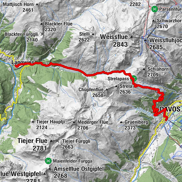
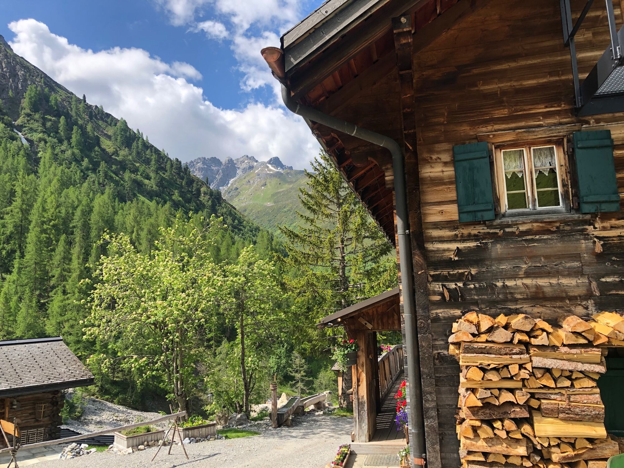
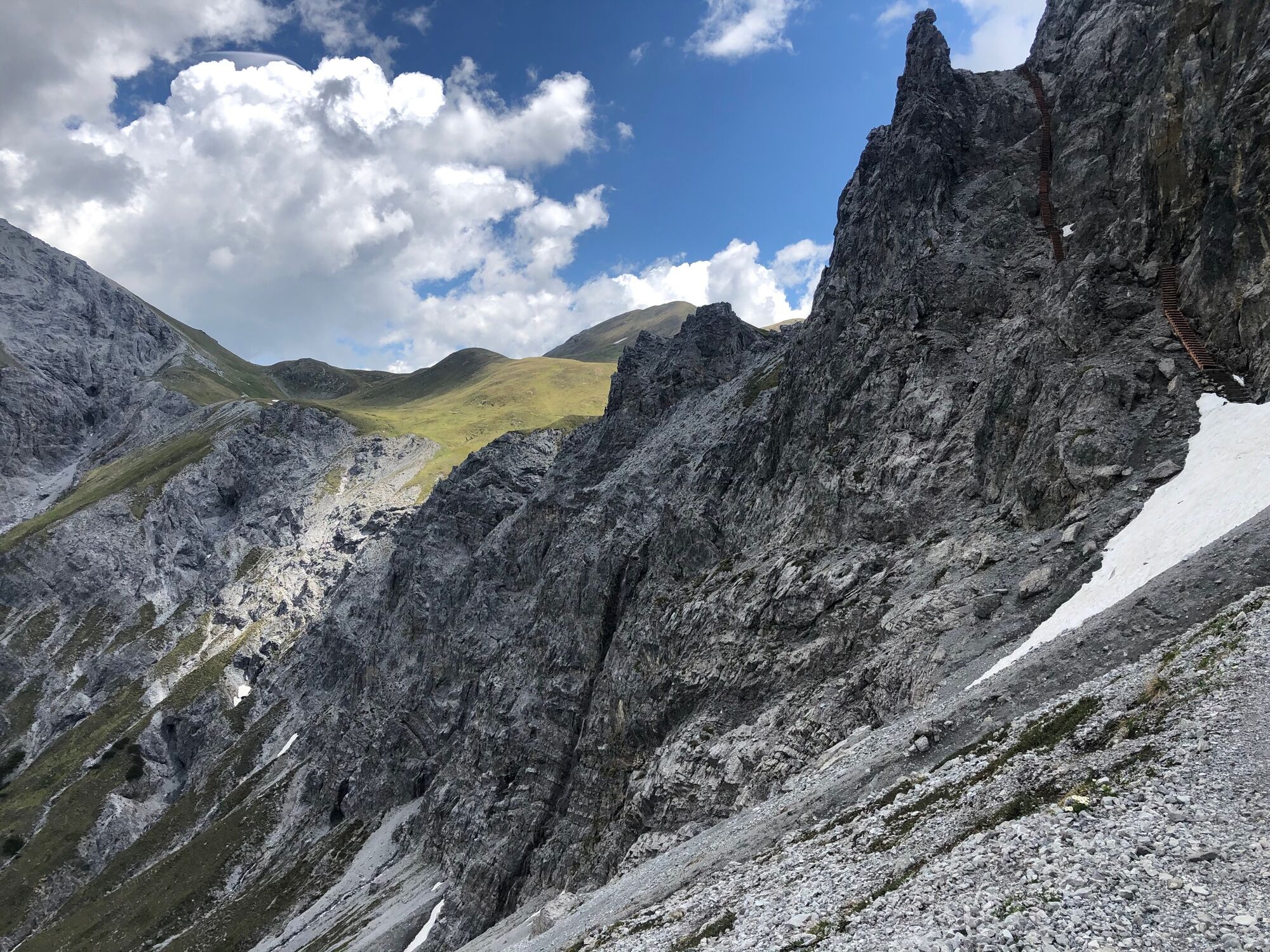
At the starting point of Davos Platz, we climb from the train station on Rathausstutz up to the promenade and follow it right to Holsboerweg at Guggerbach creek. We continue upwards along this path and reach the forest edge via Praviganweg, passing the Catholic church on the way. After crossing the creek using a concrete bridge (driving prohibited), we take a pleasant stroll through the wild but storm-thinned firs of the magical Chilcher forest up to the wonderfully situated Schatzalp. You can also cover this stretch effortlessly by taking the cable car.
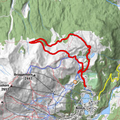
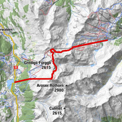
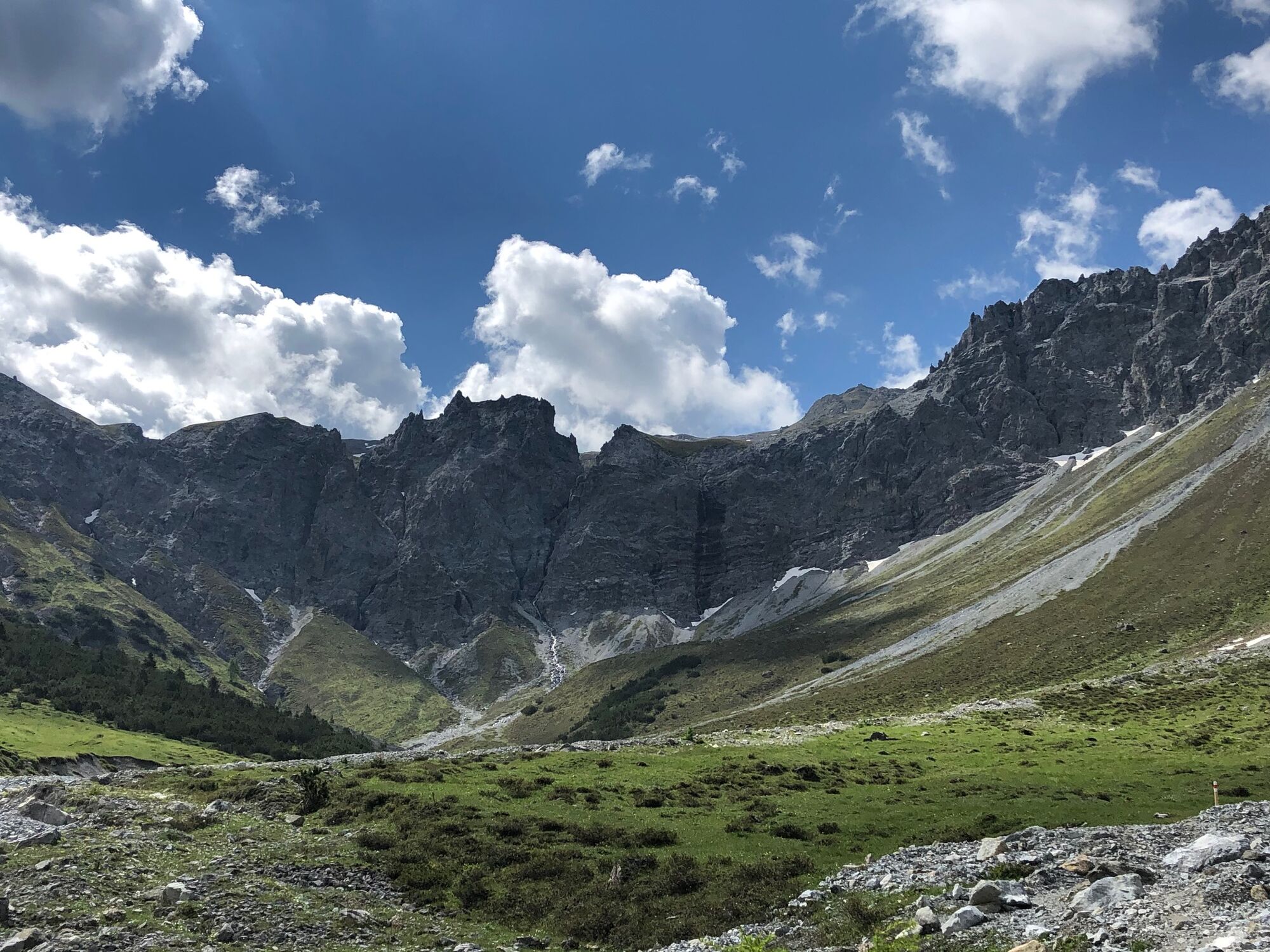
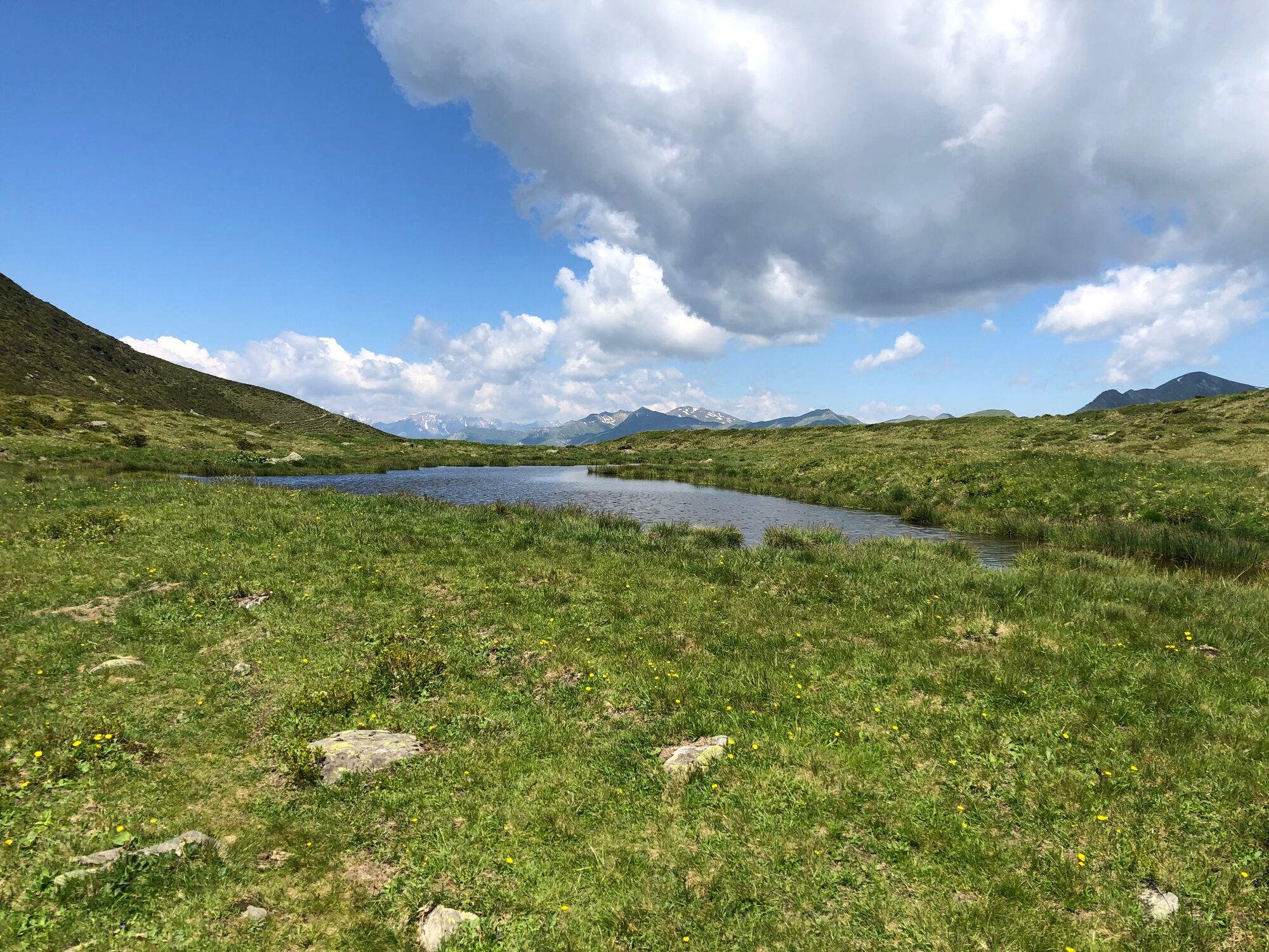
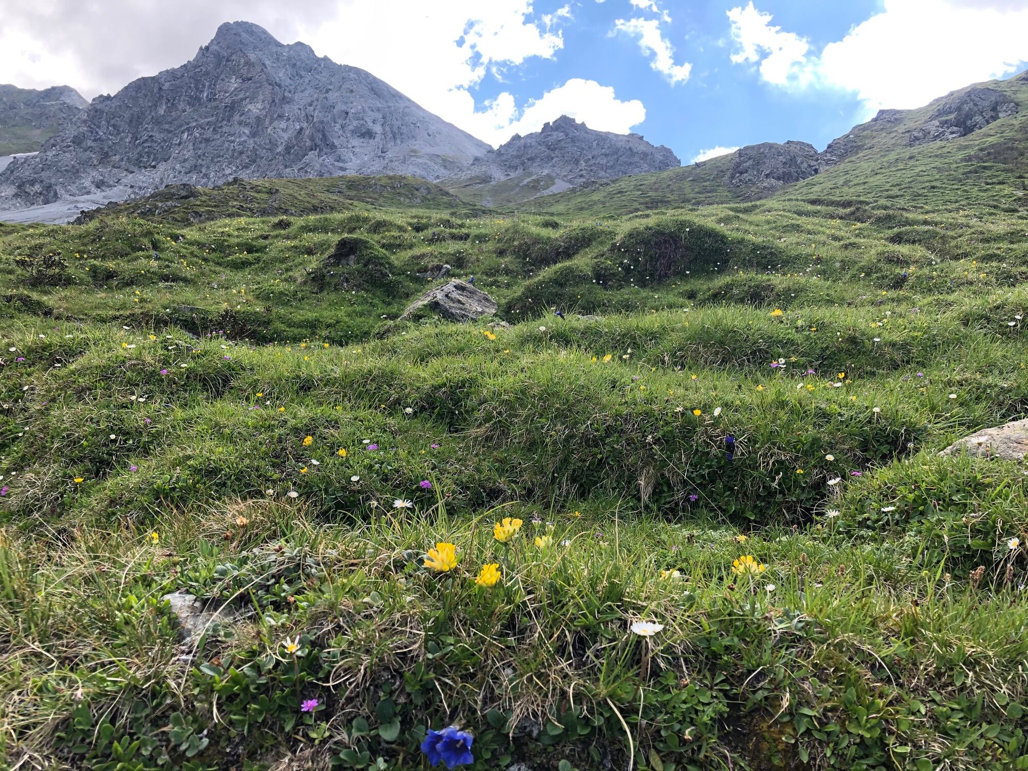
From the turn-of-the-century mountain hotel, a beautiful route leads northward to the Strelaalp restaurant. Then you continue through the uppermost swathes of forest and past centuries-old larches at a moderate incline, through Alpine meadows to the valley station of the ski lift. Just above the station, the lands flattens out and you can reach the Berghaus Strelapass quite easily. From the pass, trails lead in all direcions: to Schiahorn; though the Haupter Tälli to Weissfluhjoch; along the breathtaking panoramic route to Parsennhütte; through Tritt to Arosa; to Chörbsch Horn and over Podestatenalp to Davos Platz.
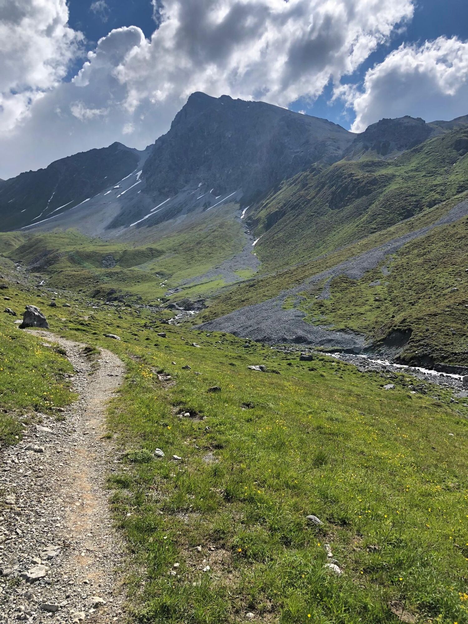
The trail to Sapün leads left past the viewing point with flag and zigzags down steeply into Haupter Tälli and over the Haupter bridge. On the sunny side, we travel up through Sapün to the year-round mountain inn Heimeli in Jatz and on to the only seasonally-inhabited village of Chüpfen. From here, it's a gentle decline through the hamlet of Schmitten to Sapün Dörfji, whose old, sun-browned houses are adorned with witty phrases. Passing by dotted stables, we hike on, high above the Sapün creek. 10 minutes below Dörfji, the alley narrows and descends more steeply through a forest of firs and larches to the second bridge over Sapün creek. We cross the Fondei creek just above the conflux using an old covered wooden bridge, the Sapünersteg, and reach the Arosa road. To the right, the hiking trail leads above the road to the church and the main settlement of the municipality of Langwies. From here, it takes about 5 minutes to make our way down to Langwies station, passing the hotel train station on the way.
Other highlighted hiking routes:
a) Schatzalp 6–Podestatenalp–Schönboden–Strelapass 1 hr 45 mins
b) Strelapass–Latschüelfurgga–Tritt–Arosa (train / post office van) 4 hrs
Inns en route: Schatzalp: Restaurant Schatzalp Tel. +41 (0)81 415 51 60, Restaurant Streelaalp Tel. +41 (0)81 413 56 83. Langwies: Restaurant Heimeli Sapün Tel. +41 (0)81 374 21 61, Restaurant Alte Post Tel. +41 (0)81 374 20 33. - Directions
-
Davos Platz – Schatzalp – Strelapass – Sapün – Langwies
- Highest point
- 2,366 m
- Height profile
-
 © outdooractive.com
 - Additional information
-
Strelapass: The pass was often travelled by the Walsers, who colonised upper Schanfigg from Davos in the early 14th century. It was the main link this isolated part of the valley had with the outside world until the Schanfigger road was built in 1874. The close affinity upper Schanfigg shares with Davos is the result of history: in 1436, the Schanfiggers joined with the League of the Ten Jurisdictions and shared the hard times with them during the fight against Austria, the time of the transition to the new teaching (Davos 1526, Schanfigg 1530) and the time of the Bündner turmoil during the Thirty Years War.
In 1649, they bought their independence from Austria together with Davos. In the more peaceful times that followed, brisk pass traffic with pack horses developed during the summer, because Strelapass was part of the old pass link from Chur through Davos to Engadine and Vintschgau (Val Venosta) along which transporters in particular conveyed their wares. - Public transportation
-
Getting there: By PostBus or train (RhB) to Davos Platz.
Getting back: By train from Langwies Station.

- Author
-
The tour Davos Platz – Strelapass – Langwies is used by outdooractive.com provided.
GPS Downloads


Other tours in the regions
-
Davos Klosters
928
-
Davos Schatzalp
218