


- Brief description
-
Grenzüberschreitende, naturkundliche Umrundung der Schijenfluh.
- Difficulty
-
medium
- Rating
-
- Starting point
-
St. Antönien (Partnun)
- Route
-
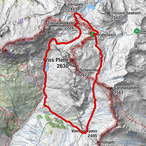
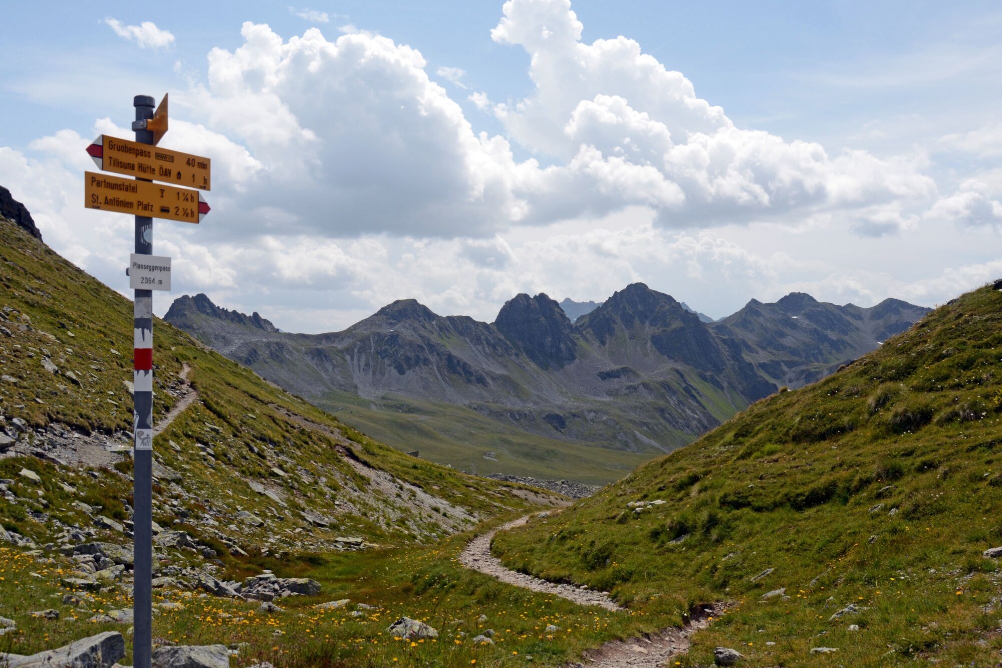
Partnun0.0 kmAlpenrösli0.4 kmTilisunafürkele (2,226 m)4.5 kmTilisunahütte4.9 kmPlasseggenpass (2,354 m)8.2 kmWeberlisch Höli10.5 kmSulzfluh12.0 kmPartnun12.1 km
- Best season
-
JanFebMarAprMayJunJulAugSepOctNovDec
- Description
-
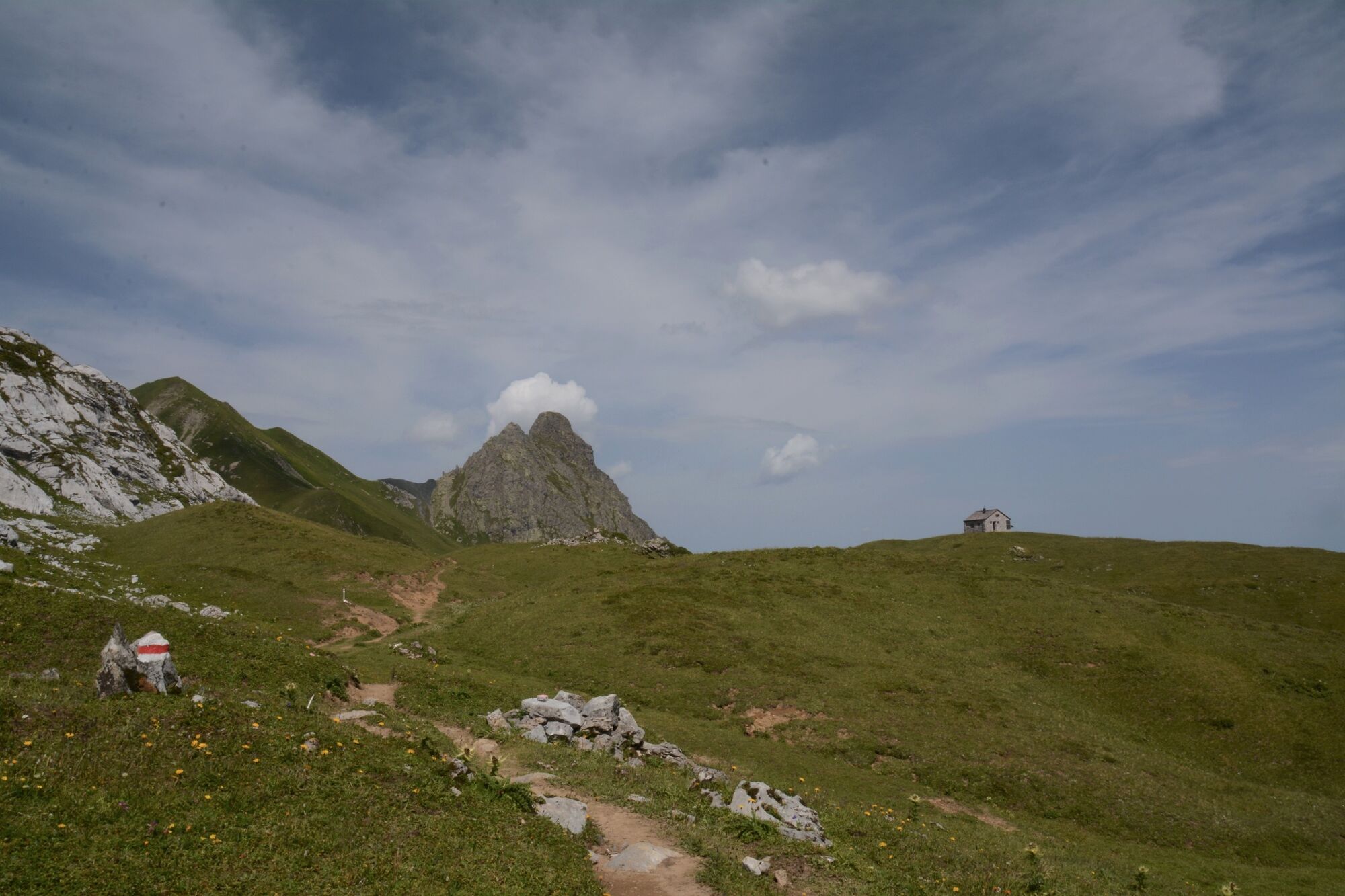
This cross-border hiking tour into nearby Austria not only allows us to retrace the footsteps of the Walser people and many a smuggler, it also provides a geological cross-section through the Rätikon mountain range with its striking contrast of light limestone and dark crystalline Silvretta rock.
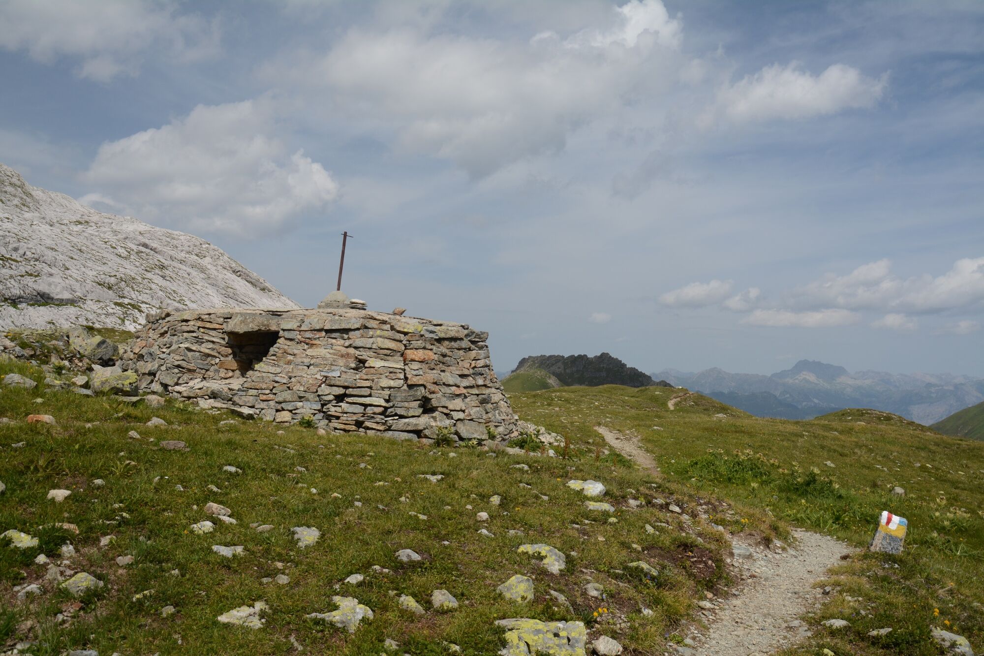
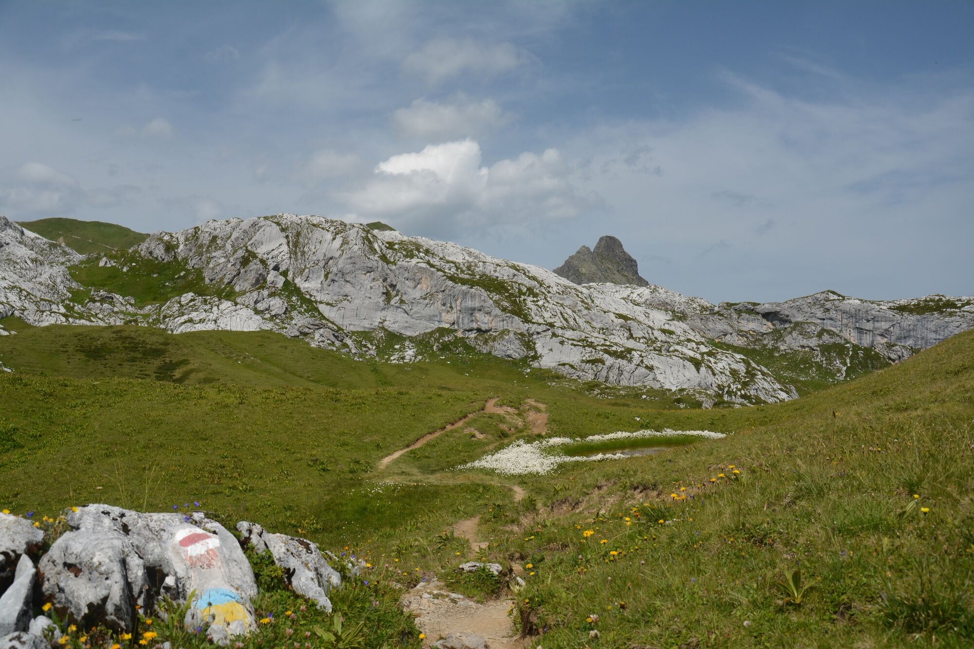
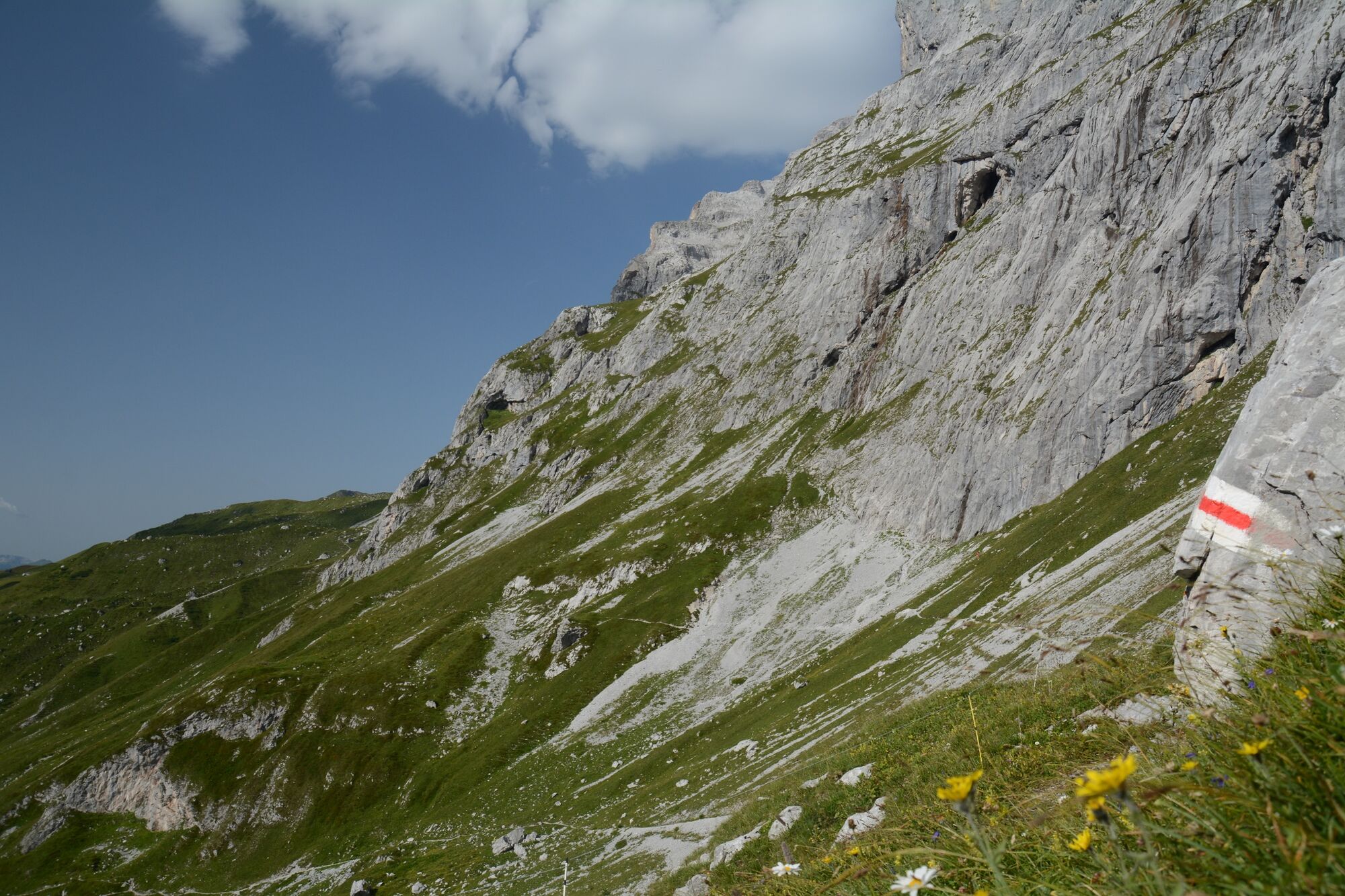
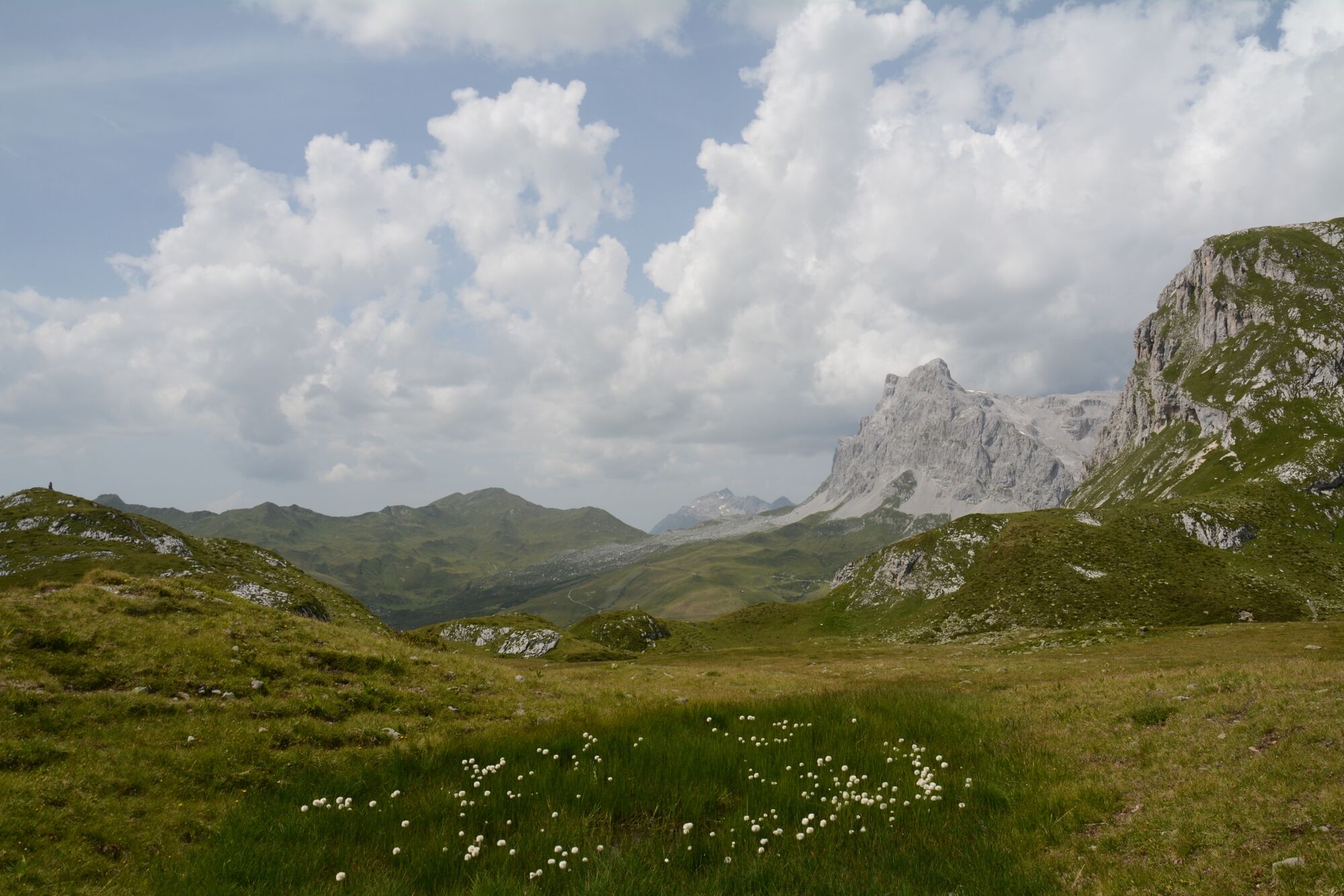
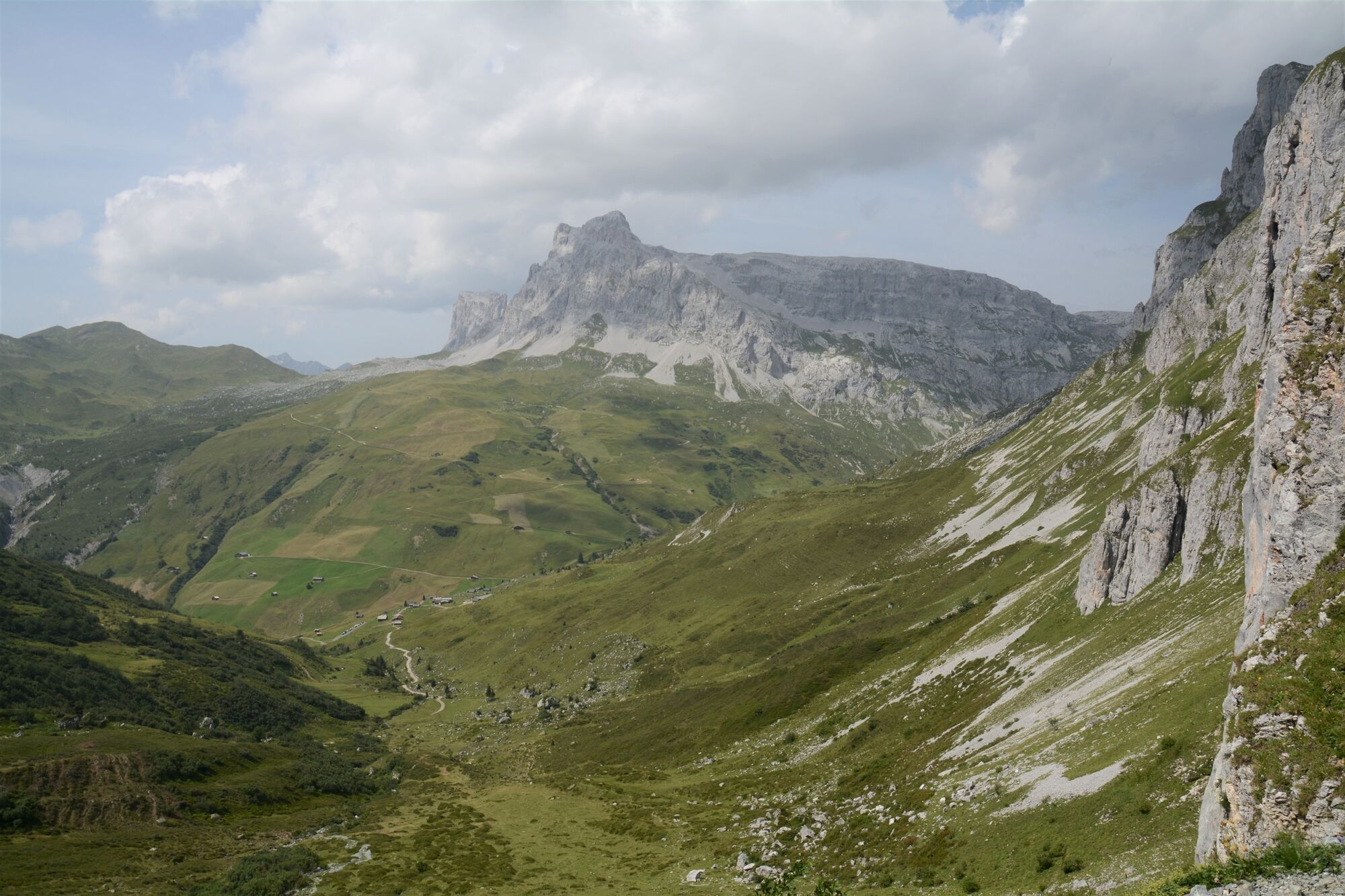
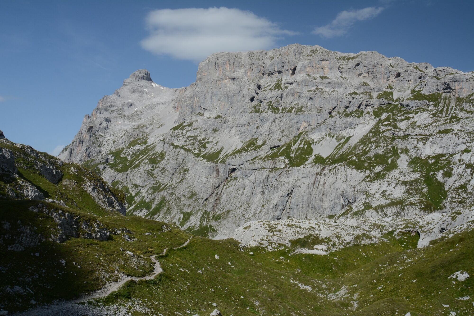
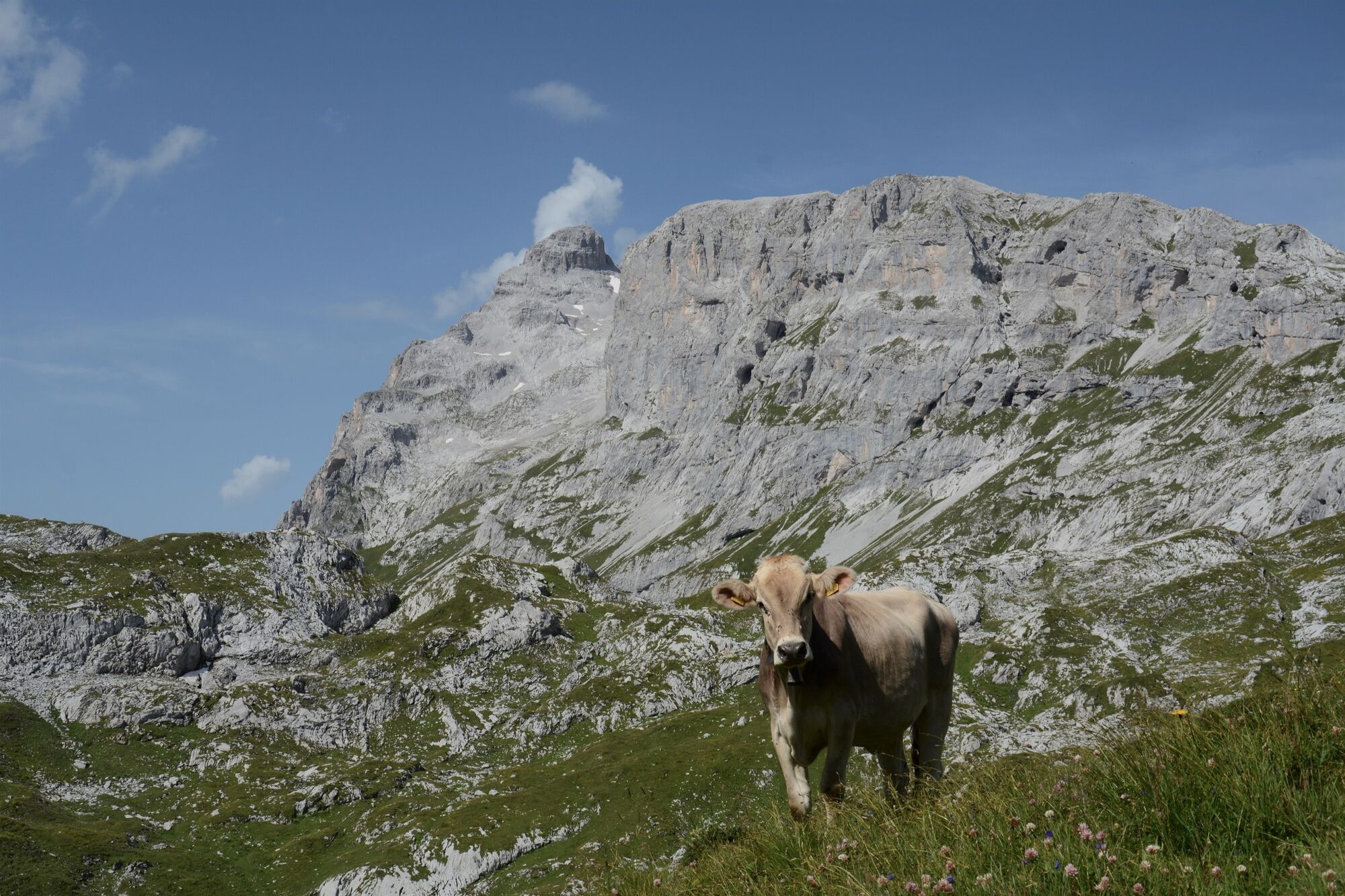
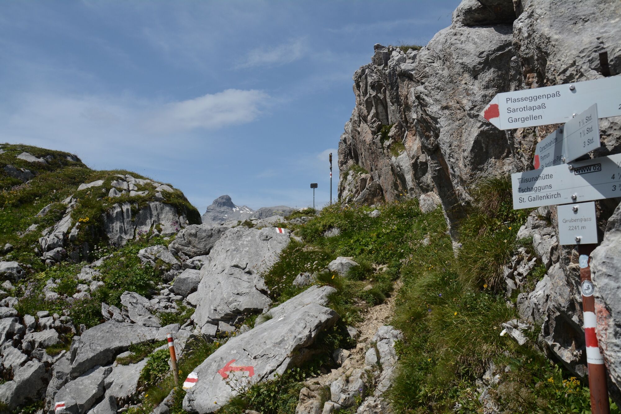
The circuit begins in Partnunstafel at the foot of the Schijenflue, at the far end of the St. Antöniertal valley, a side valley of the Prättigau. Hiking past alpine pastures and over dwarf shrub heathland we soon make our way up to the emerald-green waters of the Partnunsee lake. Surrounded by the sheer limestone walls of the Sulzfluh and Schijenflue the mountain trail takes us through a stunning limestone landscape up to the Tilisunafürggli, the «green border» with Austria. Here the landscape turns into a hilly grassy high-alpine valley where alpine cattle graze in summer. After a short detour to the Tilisuna hut we continue on our way along a gentle up-and-down section, past small lakes and one or two customs huts, then over the Gruoben Pass to the highest point of our hike, the Plasseggen Pass (2354 m), which also forms the state border with Switzerland.
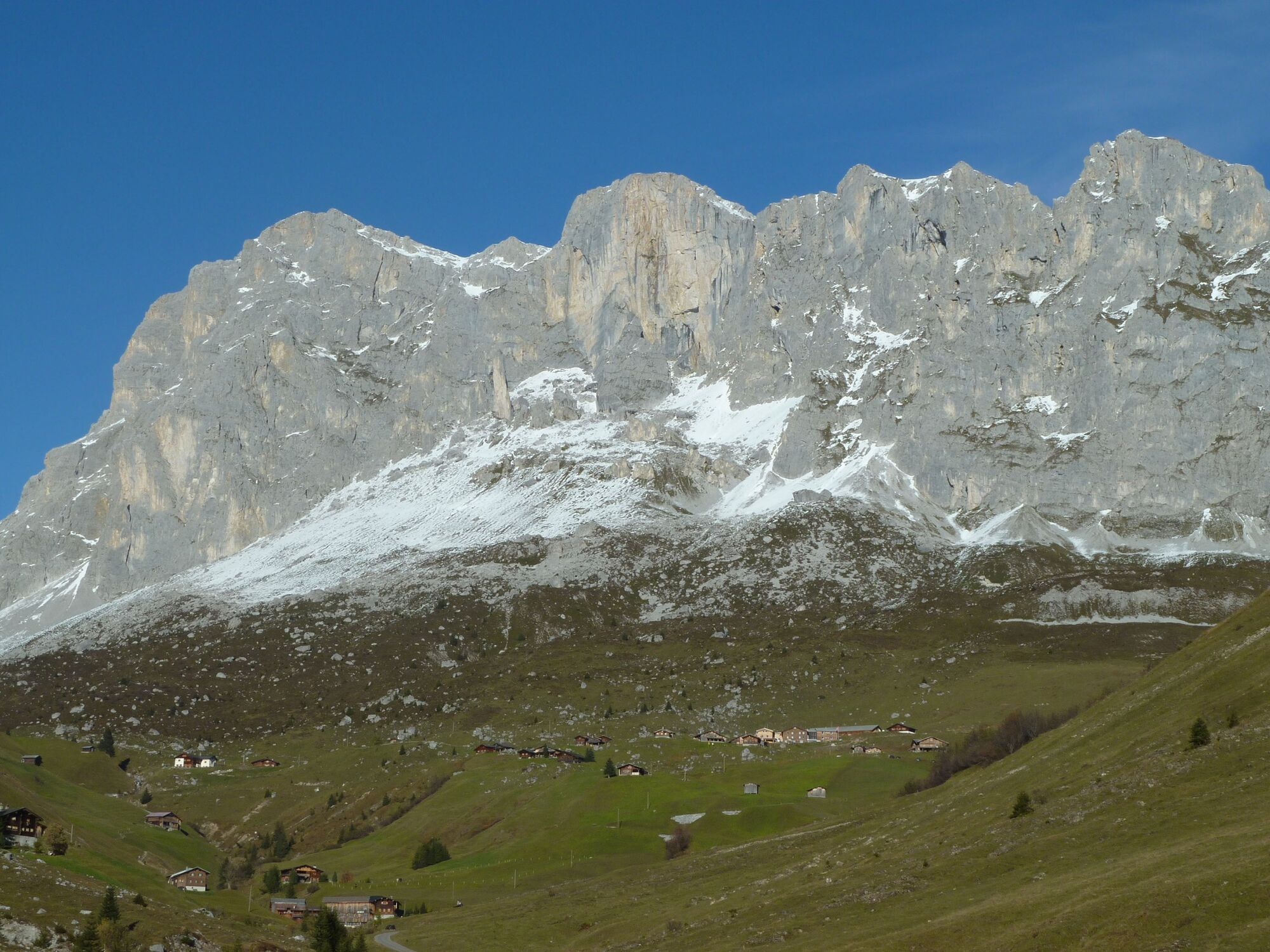
Dark mountain ranges of crystalline Silvretta rock on one side of the valley contrast sharply with the lighter limestone massif on the other. After passing the Plasseggen hut we find ourselves on a short and very steep section that zigzags its way downhill. The views gradually open up as we make our way through dwarf shrub heathland and across lush alpine meadows back to the Partnunstafel, where two mountain restaurants offer some welcome hospitality.
- Highest point
- 2,345 m
- Endpoint
-
St. Antönien (Partnun)
- Height profile
-
 © outdooractive.com
 - Additional information
-
The alpine taxi operates from St. Antönien to Partnunstafel and back.
The access road from St. Antönien to the last car park (P6) below Partnunstafel is subject to a fee. From here the ascent takes 1/2-hour either via a mountain track or on a hiking trail to the left of the Schanielabach stream up to Partnunstafel.
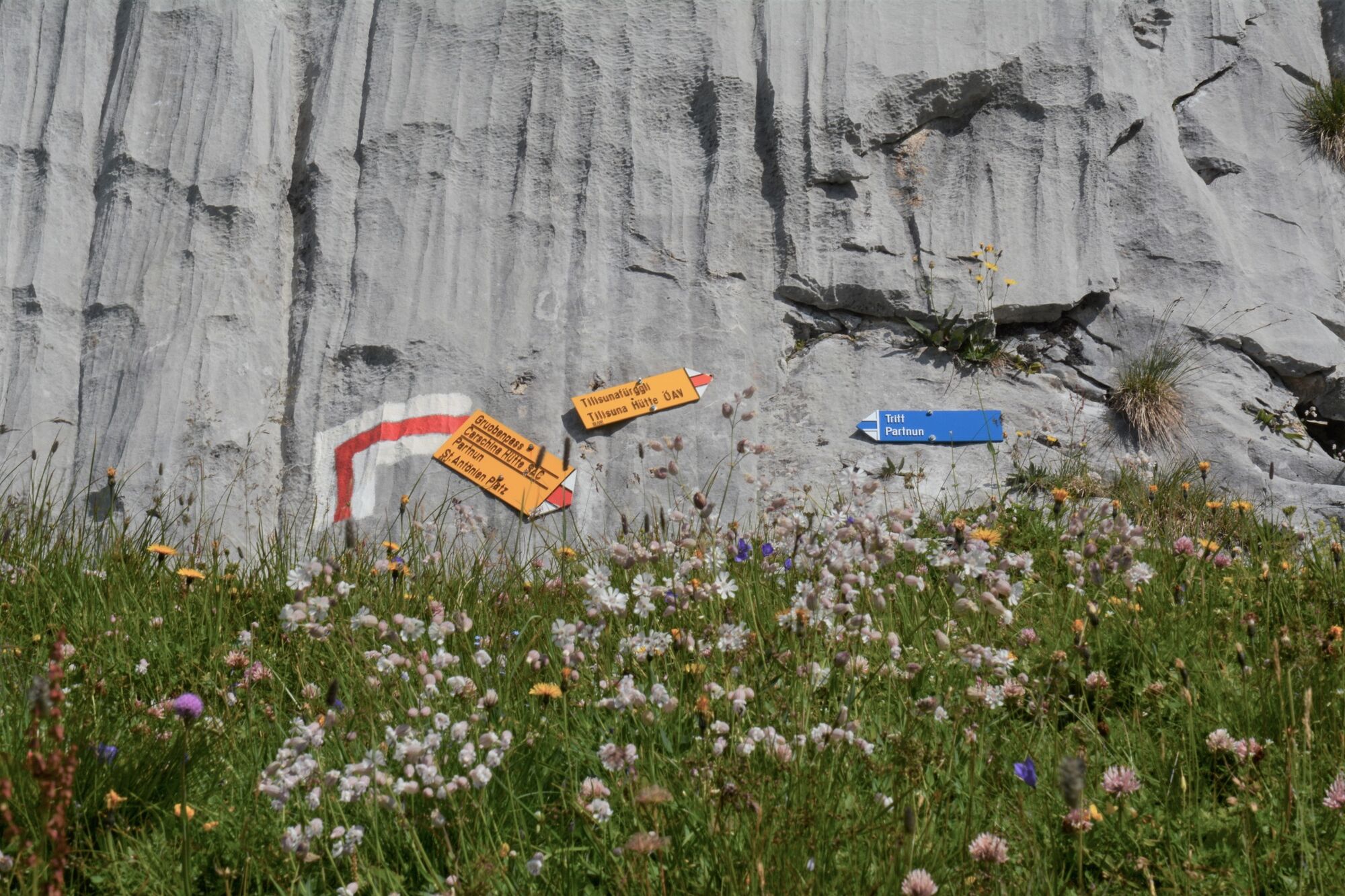
From Partnunstafel follow the destination signposted «Partnunsee» and «Tilisunahütte». From the Tilisunahütte follow the destination signposted «Gruobenpass» and «Plasseggenpass», and from there the destination signposted «Partnunstafel».
The hike requires a sure footing and a head for heights.
Snow fields are possible on the upper sections right through to the summer months.
- Author
-
The tour 702 Schijenfluh Umrundung, naturkundlicher Alpenrundweg is used by outdooractive.com provided.


General info
-
Montafon
1382
-
Gargellen im Montafon
352


