


- Brief description
-
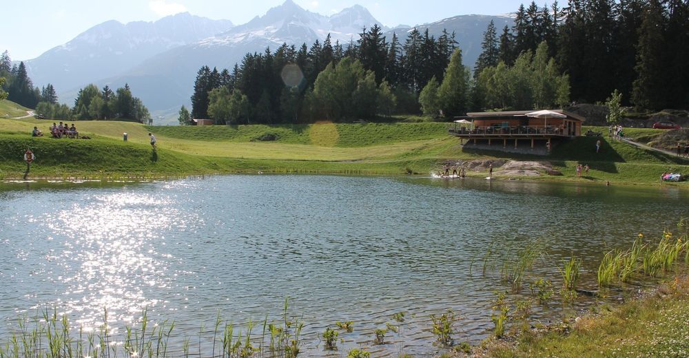
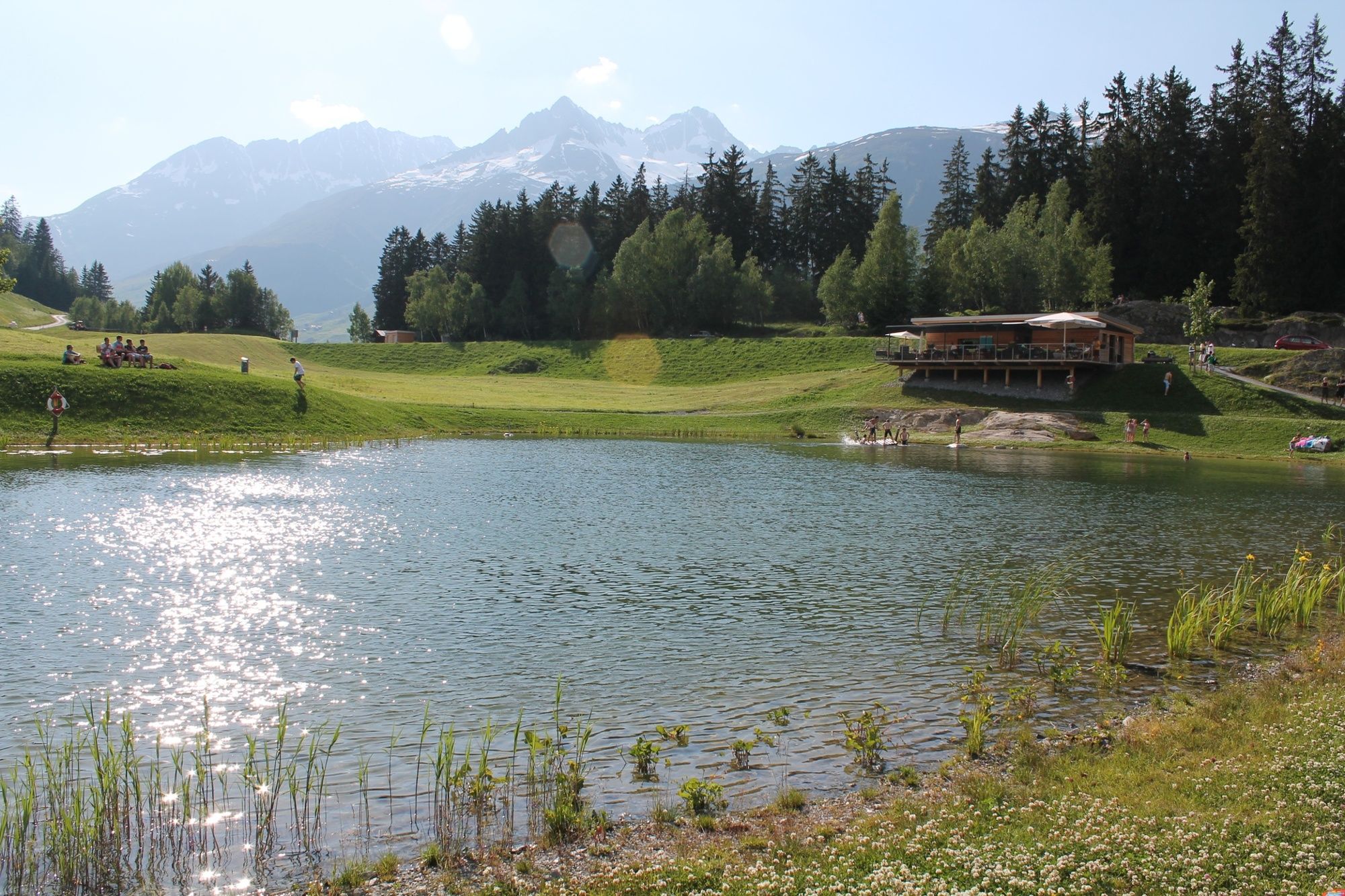
It is not Klaus or Claus that gives the lake its name. Claus means fenced meadow. Where there was a meadow until a few years ago, there is now a swimming lake. T2
- Difficulty
-
easy
- Rating
-
- Route
-
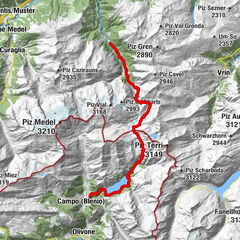
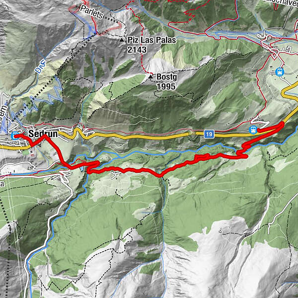
Valzeinza0.6 kmRuosna1.2 kmCavorgia4.9 kmSedrun7.1 kmSedrun (1,441 m)7.7 kmCamischolas7.7 km
- Best season
-
JanFebMarAprMayJunJulAugSepOctNovDec
- Description
-
At the train stop in Mompé Tujetsch, we easily start downhill and don't let the first few hundred meters on asphalt dampen our good mood. We cross the leisurely rippling Rhine and hike in Mises las Cavorgias past pretty maiden pastures and a small lake. A little later we make a small detour into the forest, where two more ponds are hidden and where you can practice archery: www.muntognas.ch (reservation required).
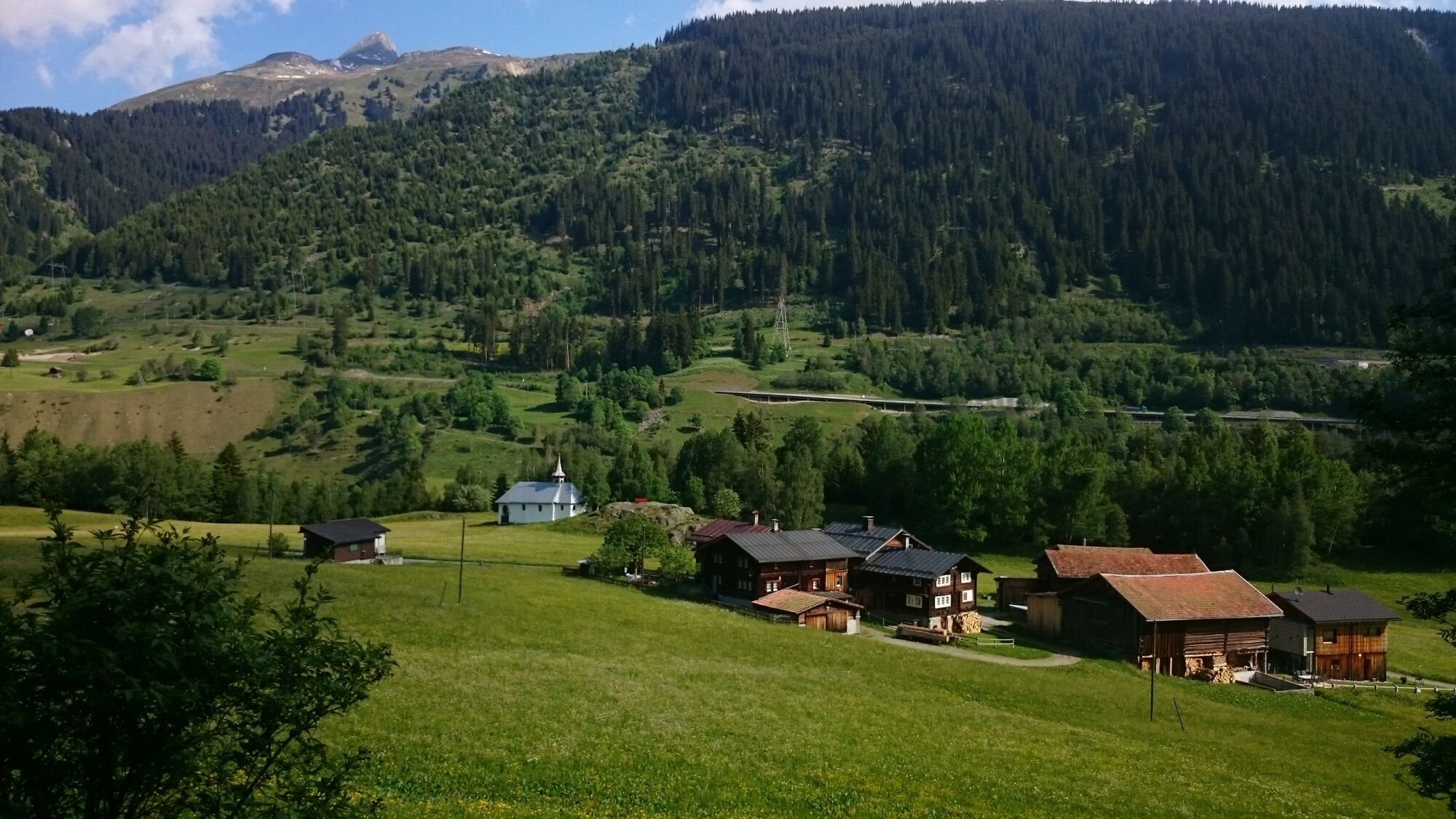
We continue our hike through a shady forest to Cavorgia, where the Sogn Leci chapel presents itself as a great photo motif. The Lag da Claus is, so to speak, a "gift" or a "reward" for the years of perseverance during the turbulent construction period of the NEAT base tunnel. A gravel dump has been turned into a wonderful landscape with a bathing lake that delights guests and locals alike.
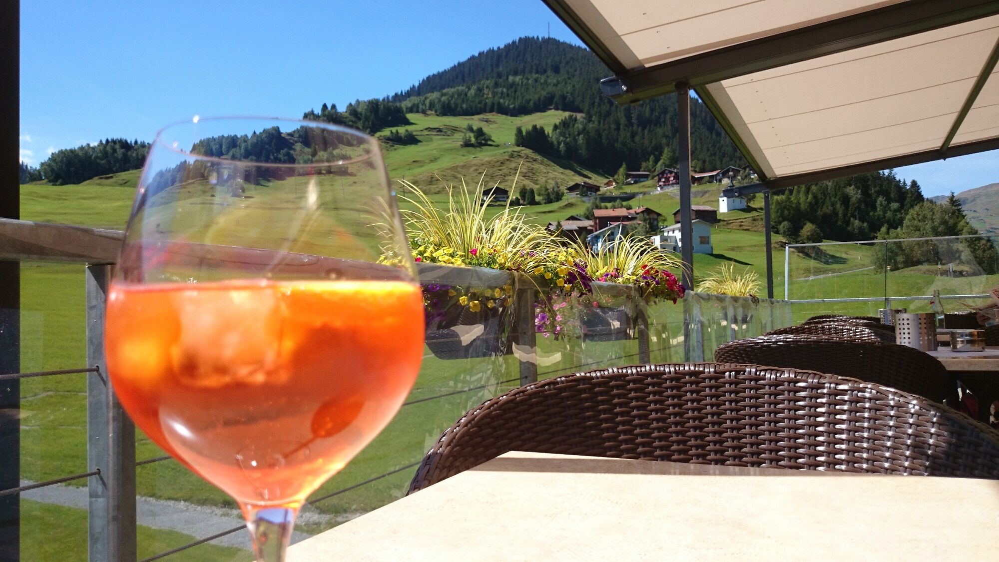
Now into the cool water! A swim, a nap on the wooden loungers and then onto the terrace, where we are served a fine snack.
It is then another 20 minutes to the Sedrun train station.
- Highest point
- 1,441 m
- Endpoint
-
Sedrun Bahnhof
- Height profile
-
 © outdooractive.com

-

-
AuthorThe tour Cavorgia - Lag da Claus is used by outdooractive.com provided.


General info
-
Uri
1549
-
Disentis Sedrun
515
-
Tujetsch
160