- Difficulty
-
medium
- Rating
-
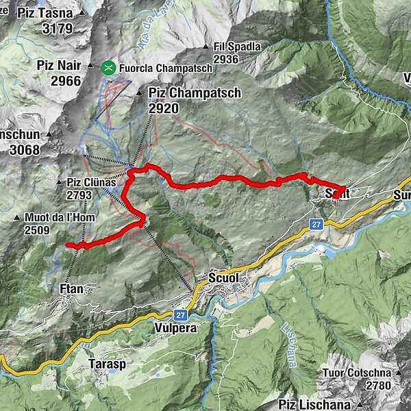
- Route
-
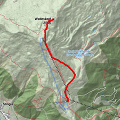
Prui (2,058 m)0.1 kmPrümaran Prui0.2 kmPrui (2,068 m)0.3 kmMotta Naluns2.0 kmMotta Naluns2.3 kmJonvrai4.2 kmArschiglia10.6 kmTuols10.8 kmCosta Dad Archas10.8 kmSins (1,440 m)11.2 kmRestorant Fontana11.4 km
- Highest point
- 2,284 m
- Endpoint
-
Sent, Bushaltestelle Post
- Height profile
-
 © outdooractive.com
- Author
-
The tour Von Ftan nach Sent is used by outdooractive.com provided.
GPS Downloads


General info
Cultural/Historical
Flora
A lot of view
Other tours in the regions
-
Engadin Scuol Zernez
734
-
Scuol
137