- Brief description
-
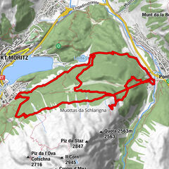
Hike on mainly flat paths and little roads all the way around Lake Sils. With plenty of views of the lake and the surrounding peaks.
- Difficulty
-
medium
- Rating
-
- Starting point
-
Maloja
- Route
-
Plan Cuncheta0.4 kmIsola (See) (1,810 m)2.2 kmIsola (1,811 m)3.0 kmIls Barchiröls4.6 kmSils/Segl Maria Barchiröls (1,802 m)4.7 kmSils im Engadin (1,803 m)5.2 kmPizs5.5 kmClos5.6 kmMutals5.7 kmDotturas5.7 kmSan Lurench6.0 kmPignoulas6.2 kmGrevasalvas (1,941 m)9.5 kmBlaunca (2,037 m)10.8 kmCapolago13.2 kmMaloja (See) (1,803 m)13.3 km
- Best season
-
JanFebMarAprMayJunJulAugSepOctNovDec
- Description
-
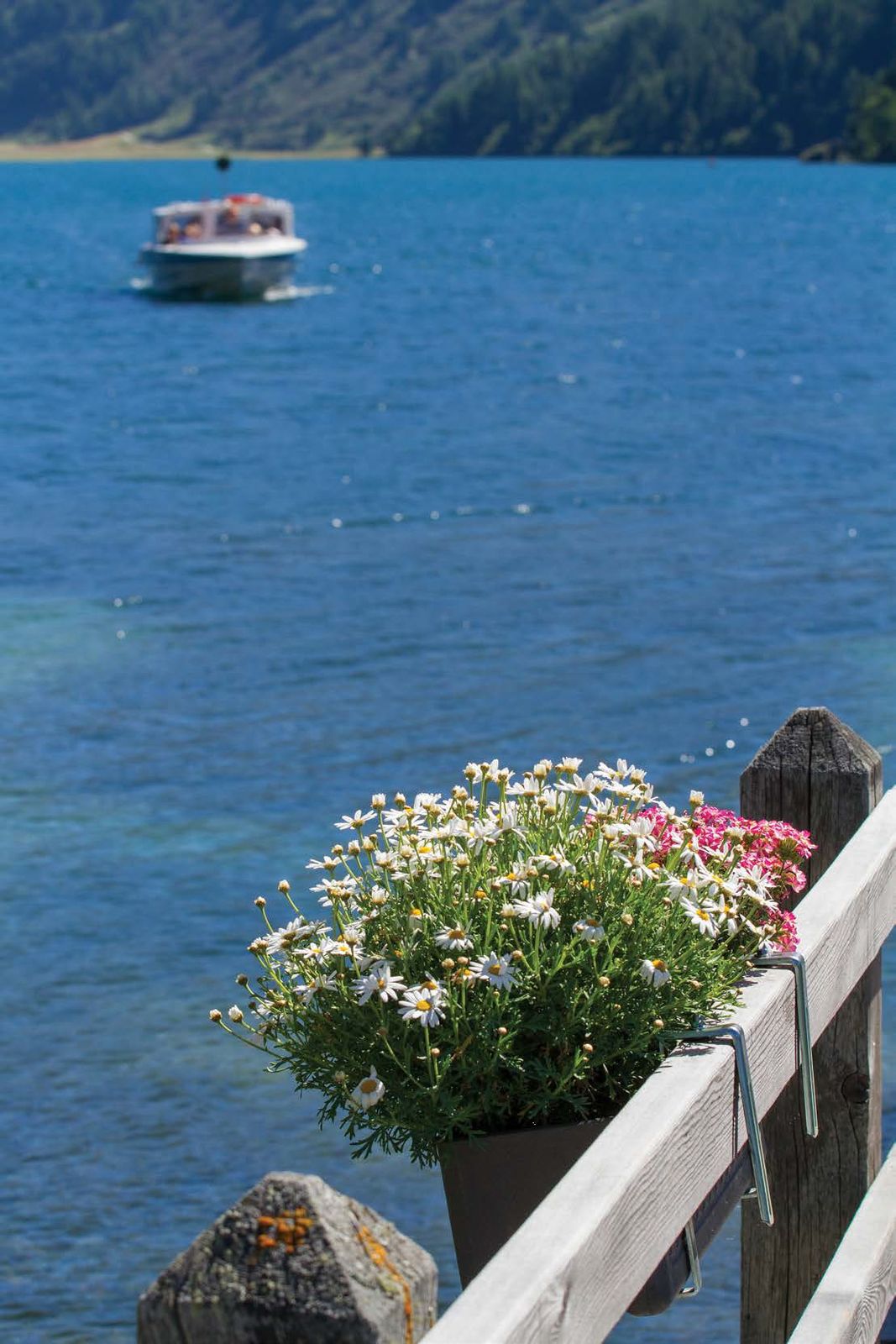
This is a good opportunity to discover the fascinating region around the Maloja Pass. The village of Sils is the easternmost point of the circular hike and offers many refreshment options. From here you could also take the scheduled boat for a pleasant return trip to Maloja, thus shortening the effort of the hike by half.
- Directions
-
It is best to leave the car in the car park east of Maloja, where the main road joins the shore of Lake Sils. From the car park, go left up the path that leads to a bend, then crosses the slope to the west and offers beautiful views of Pizzo Badile and the Bergell mountains. At the fork, turn right until you reach the plain and the village of Blaunca (2037 m). Follow the little road past the beautiful houses and after a descent you come to a second village surrounded by pastures: Grevasalvas. From this point, the trail climbs again along a path below a rocky outcrop, you come to a junction with the variant to Lago del Lunghin and reach a small hill on the right; from here, a long sloping traverse begins downwards, with a beautiful view of the lake. At the next junction, keep to the right and you will reach the main road right at the crossroads of Sils Baselgia. Between the typical Engadine houses you enter the village and shortly afterwards turn right to the lakeshore and continue along the south side of the lake. Here you can also take the European boat service back to Maloja. On foot, however, you continue until the little road narrows into a path and then reach Isola, which lies in the middle of a wide meadow on the shore of Lake Sils. The way back to Maloja follows the road along the shore.
- Highest point
- 2,035 m
- Endpoint
-
Maloja
- Height profile
-
 © outdooractive.com
 - Equipment
-
HIking shoes , snacks, water
- Tips
-
Take a coffee break with local products in Isola or Sils
- Directions
- Public transportation


- Author
-
The tour Circuit around Lake Sils is used by outdooractive.com provided.


-
Veltlin / Valtellina
852
-
Engadin St. Moritz
782
-
Isola
282