- Brief description
-
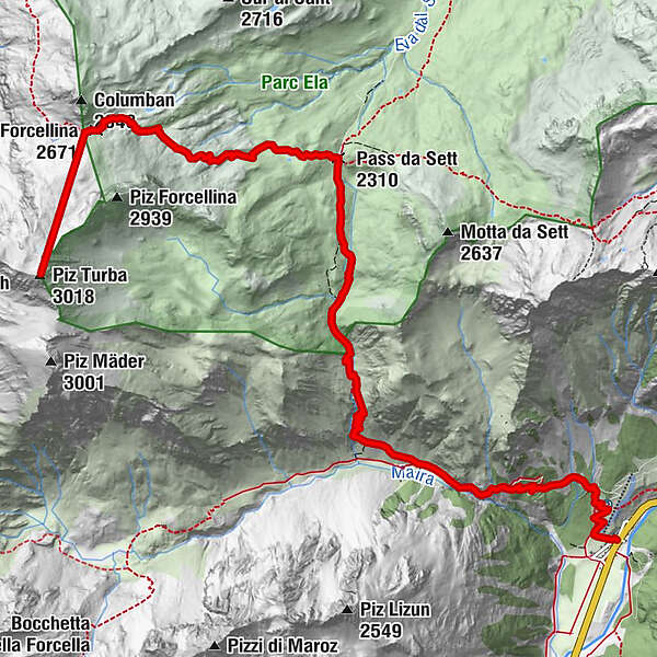
The Forcellina pass provides a pleasant and direct connection between Val Avers and Bergell or Bivio. The ascent to Piz Turba branches off from the pass.
- Difficulty
-
difficult
- Rating
-
- Starting point
-
Casaccia
- Route
-
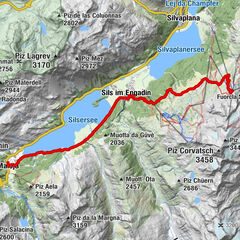
Casaccia (1,458 m)Chiesa riformata di San GiovanniSeptimerhütte5.6 kmSeptimer Pass (2,310 m)6.0 kmForcellina (2,671 m)8.6 kmPiz Turba (3,018 m)9.9 km
- Best season
-
JanFebMarAprMayJunJulAugSepOctNovDec
- Description
-
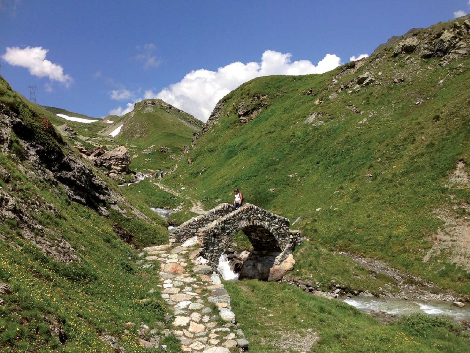
The path across the Forcellina, like the mule track over the Septimer Pass, used to be a well-known and frequently used route.In the following we describe the route from Casaccia to Forcellina and from there the ascent to Piz Turba, from where you have an overwhelming view of the rugged Bergell mountains and the extensive mountain panorama to the north.
- Directions
-
From the parking lot next to the Casaccia cemetery, follow the path to Val Maroz. At 1791 m, the old mule track branches off towards the Septimer Pass. A steep climb follows along the Aua da Sett until the terrain flattens out and you reach the Septimer Pass at 2310 m. From here, the trail heads west over wide grassy slopes past a few small mountain lakes. The path winds around rocky elevations and finally up to the Forcellina pass (2672 m), where the wide, grassy valley of the Jufer Alp appears.
To reach Piz Turba, turn south from the pass along a thin trail. A little further on, a flat slope opens up, which you cross straight on to reach a moraine ridge marked with several cairns. In this way you reach the foot of the last summit face of Piz Turba. Across gravelly slopes on the right, you climb up to a beautiful ridge and across it with ease to the summit (3018 m).
The descent follows the same route. - Highest point
- 3,010 m
- Endpoint
-
Casaccia
- Height profile
-
 © outdooractive.com
 - Equipment
-
Mountain boots, drinking water and snacks
- Safety instructions
-
The section between the pass and Piz Turba is pathless and unmarked.
- Tips
-
If you want to descend to Juf: From the Forcellina pass, follow the trail until the path branches off towards Furcola da la Valletta and Bivio. Here, keep left in the direction of Juf/Avers. The descent to Juf, where there are overnight accommodations and a post office stop, takes about one and a half hours from the pass.

- Author
-
The tour Forcellina Crossing and Piz Turba is used by outdooractive.com provided.


-
Comer See
754
-
Val Bregaglia Engadin
461
-
Casaccia
201