- Brief description
-
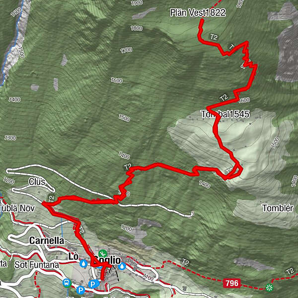
The route has its starting point in Soglio, where you can enjoy a wonderful view of the famous peaks of Bergell: Pizzo Badile, Pizzo Cengalo and the Sciora-group.
- Difficulty
-
difficult
- Rating
-
- Starting point
-
Soglio
- Route
-
Sils im Bergell (1,097 m)0.0 kmLò0.2 kmCarnella0.4 kmTombal (1,545 m)2.1 kmPlän Vest (1,822 m)3.1 kmCarnella5.7 kmReformierte Kirche Soglio6.2 km
- Best season
-
JanFebMarAprMayJunJulAugSepOctNovDec
- Description
-
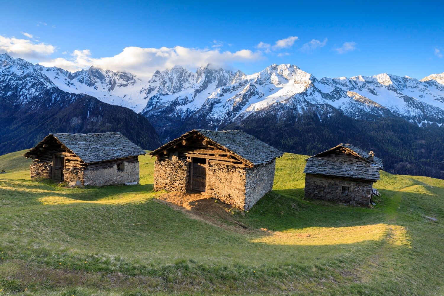
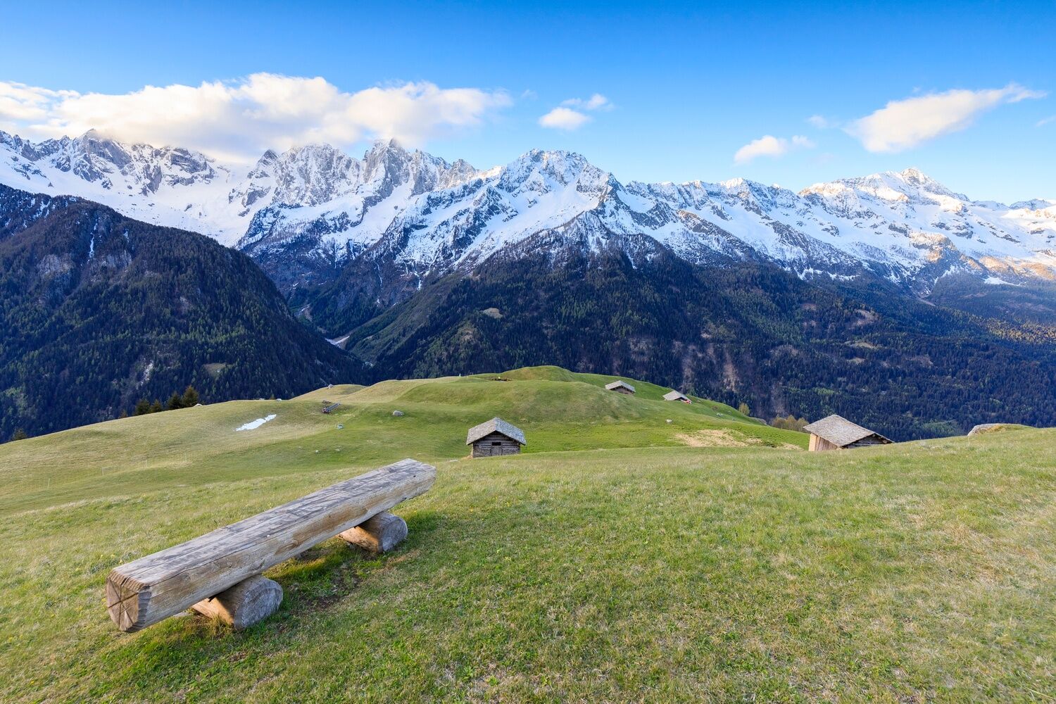
Even more magnificent is the panoramic view from the terrace Tombal, which can be reached in about 1 hour on foot. From here, the path continues uphill and reaches the meadows of Plan Vest after about 45 minutes.
- Directions
-
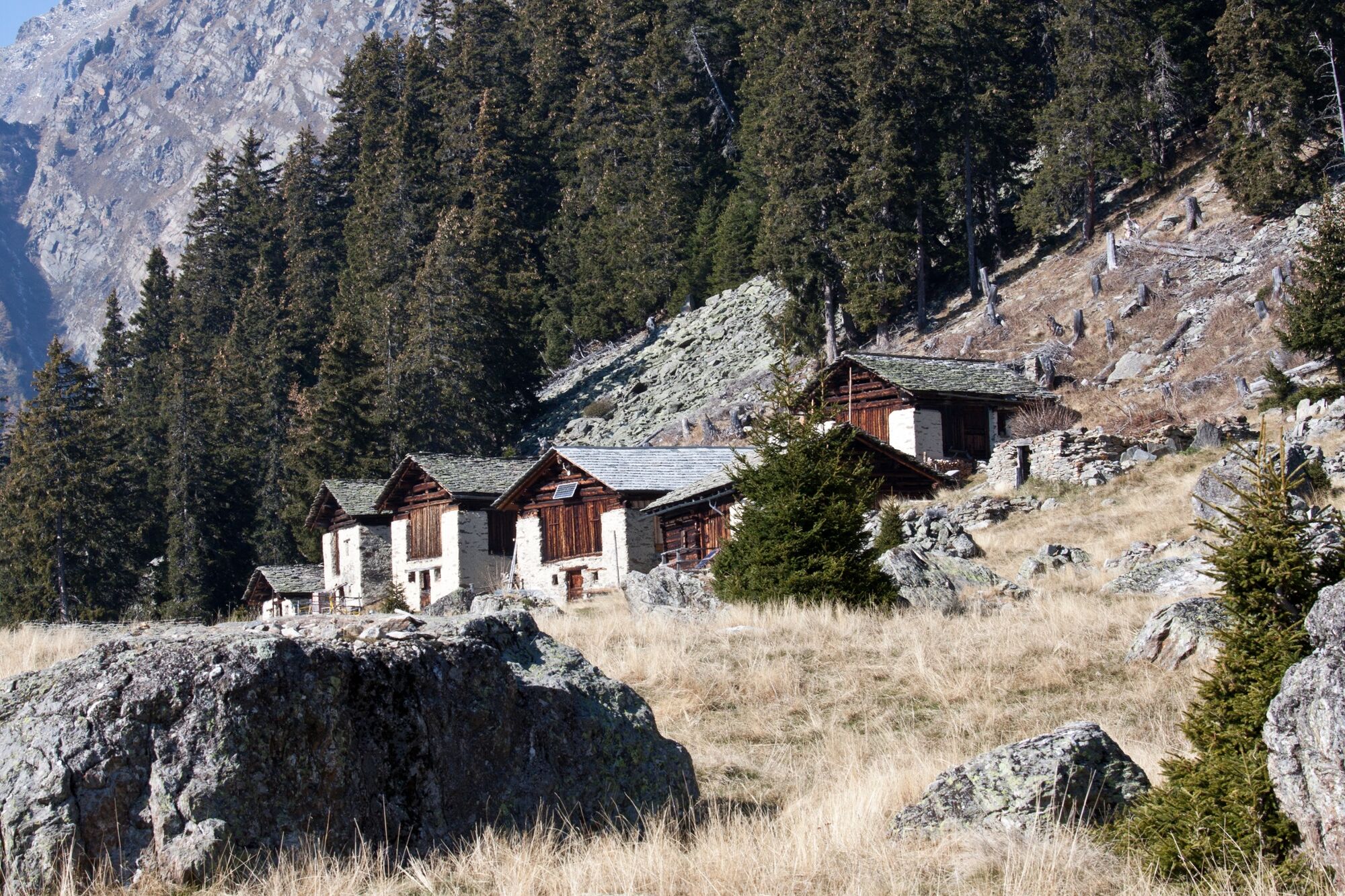
The hike begins right at the corner of Palazzo Salis, in the main square of Soglio. You head up the slope behind the village, crossing the agricultural road a few times and then enter a larch and fir forest with tall trees. The partially diagonal path leads to the lower pastures of the wide terrace of Tombal (1530 m). The path continues to climb the green slopes and, after the huts at the upper end, enters again a beautiful coniferous forest, finally coming out on the terrace of Plan Vest (1821 m). The descent is along the same path.
- Highest point
- 1,816 m
- Endpoint
-
Soglio
- Height profile
-
 © outdooractive.com
 - Equipment
-
good mountain shoes, hiking poles, packed snack
- Tips
-
Continue the route to Vicosoprano passing through Plan Lo.
- Directions
- Public transportation
- Parking
-
Park&Ride: If you are travelling to Bergell by car, we offer two P&R car parks in Spino and Vicosoprano. In Soglio there are only a few spaces, please change early to the post bus.
- Author
-
The tour Tombal - Plan Vest is used by outdooractive.com provided.


General info
-
Comer See
761
-
Val Bregaglia Engadin
467
-
Soglio
79