© Engadin St. Moritz Mountains - Roberto Moiola
© Engadin St. Moritz Mountains - Filip Zuan

© Engadin St. Moritz Mountains - Fabian Gattlen
© Engadin St. Moritz Mountains - Roberto Moiola
© Engadin St. Moritz Mountains - Daniel Martinek


- Brief description
-
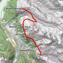
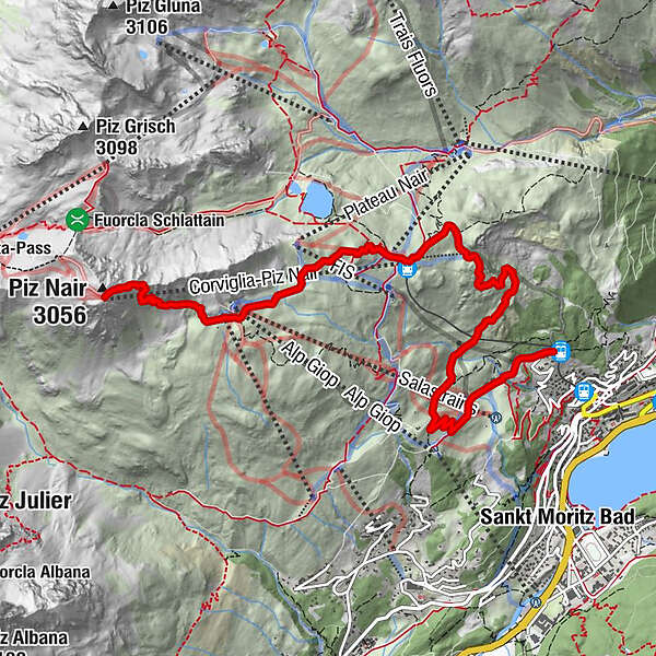
Hike from the panoramic mountain Piz Nair down to Chantarella.
- Difficulty
-
medium
- Rating
-
- Starting point
-
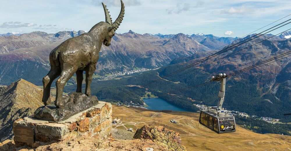
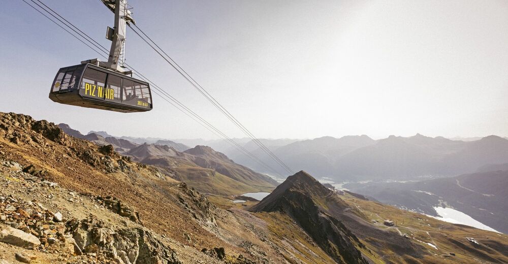
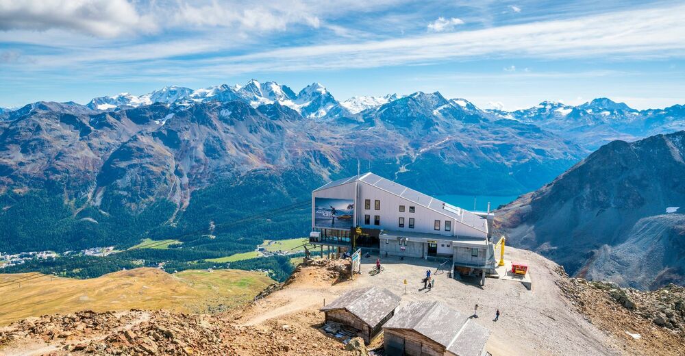
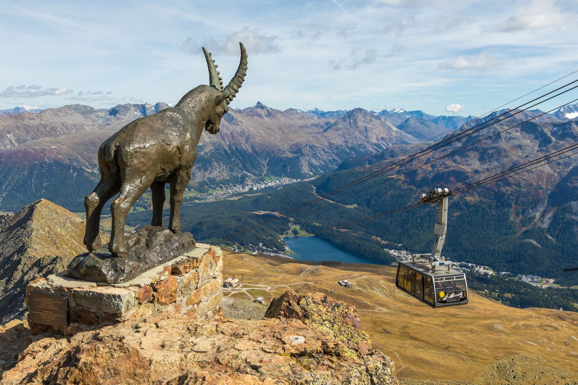
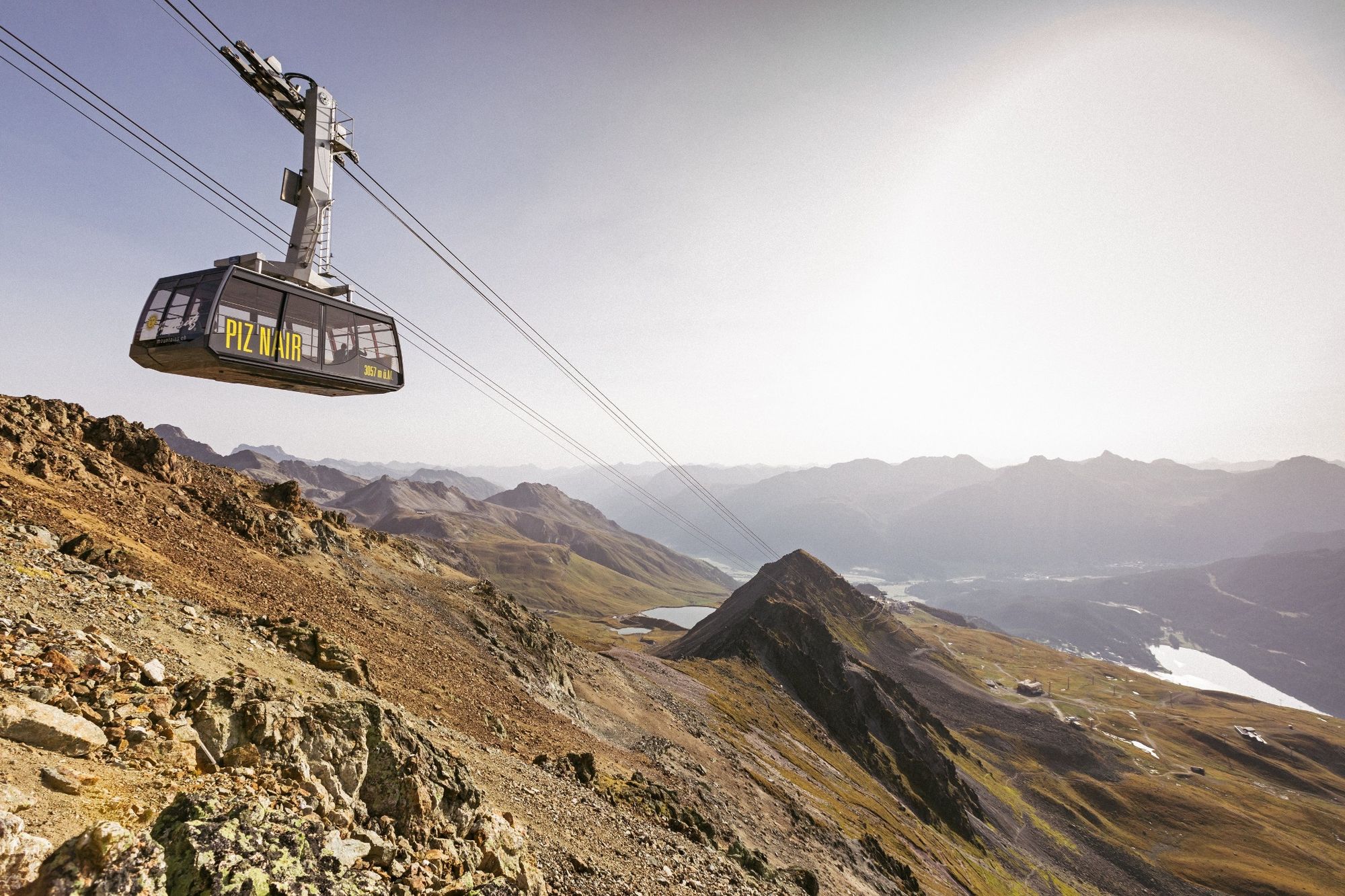
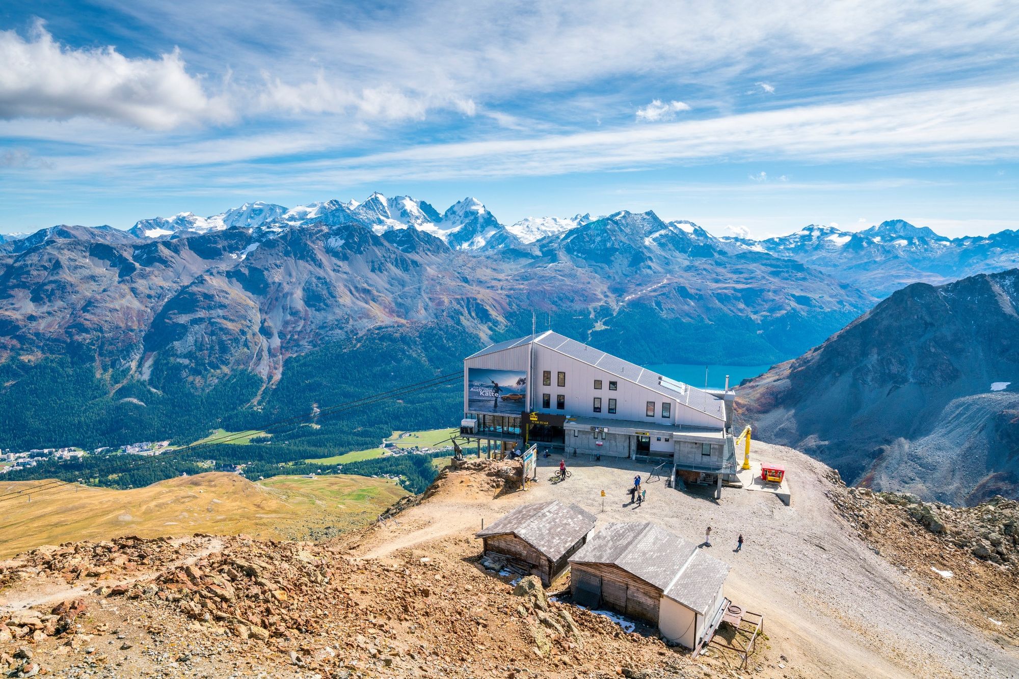
Piz Nair, top station
- Route
-
Piz NairAlpina Hütte2.8 kmCorviglia3.3 kmAlp Nova5.3 kmSpielplatz Salastrains7.4 kmSalastrains7.6 kmSur Chaunt8.1 kmSankt Moritz (1,822 m)8.2 km
- Best season
-
JanFebMarAprMayJunJulAugSepOctNovDec
- Description
-
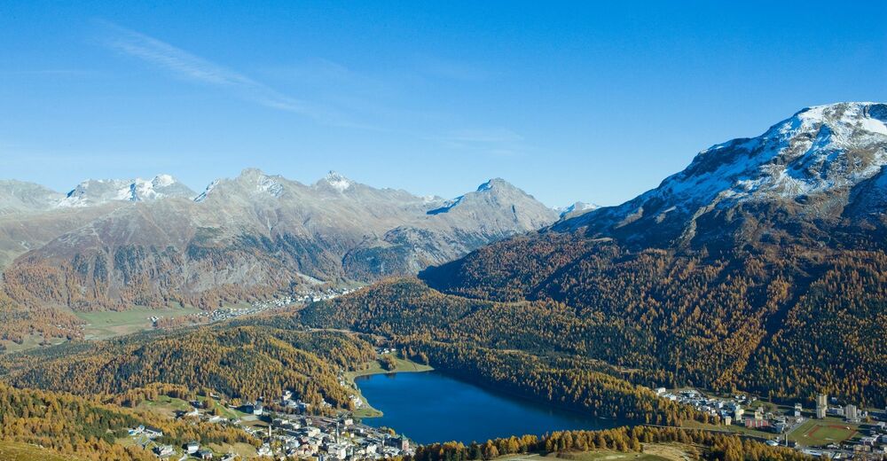
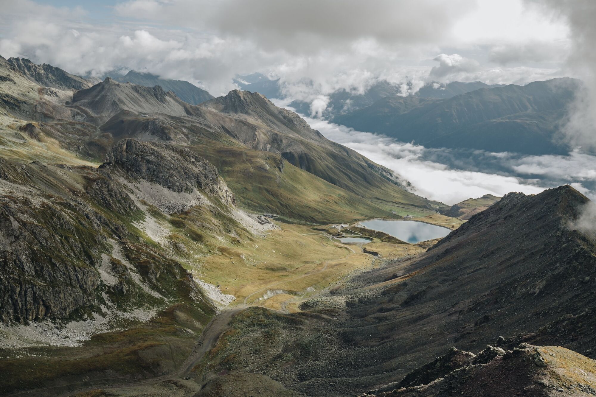
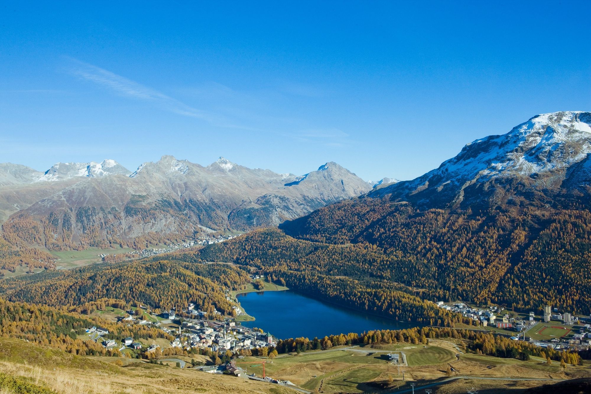
At the summit of Piz Nair, you can enjoy views of the Engadin lakes from all sides, and also have an opportunity to assess your forthcoming hiking route from above. The first section follows a steep route down Piz Nair to Munt da San Murezzan. A wide, relatively flat path continues to the Alpina hut, and then steeply down to Corviglia. From Corviglia, you take the trail via Sass Runzöl, past the special limestone formations to Alp Nova. Shortly afterwards, you cross under the Corviglia railway line and follow a long bend leading to Chantarella.
More information
Engadin Tourismus AG
Via Maistra 1
CH-7500 St. Moritz
Phone: +41 81 830 00 01
E-mail: allegra@engadin.ch
Internet: www.engadin.ch - Directions
-
Piz Nair - Munt da San Murezzan - Corviglia - Sass Runzöl - Chantarella
- Highest point
- 3,012 m
- Endpoint
-
Chantarella
- Height profile
-
 © outdooractive.com
 - Safety instructions
-
The first part is quite steep, surefootedness and a head for heights is an advantage.
- Tips
-
You can also take the Signalgondola down to St. Moritz.
- Author
-
The tour Piz Nair - Corviglia - Chantarella is used by outdooractive.com provided.
GPS Downloads


General info
Refreshment stop
Flora
A lot of view
Other tours in the regions
-
Veltlin / Valtellina
853
-
Engadin St. Moritz
782
-
Corviglia
348