© Engadin Tourismus AG - Silvan Caderas


- Brief description
-
From Sils Maria over the scenic hill and through the Val Fex back to Sils Maria.
- Difficulty
-
medium
- Rating
-
- Starting point
-
Sils Maria post office
- Route
-
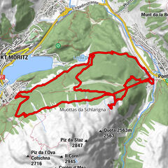
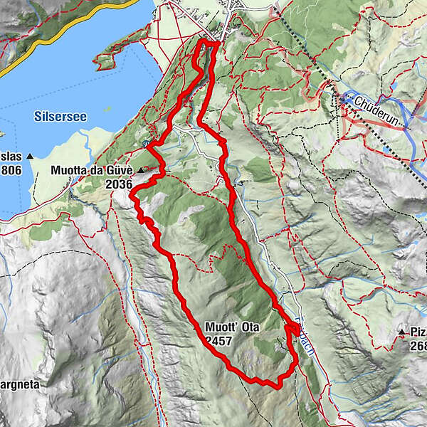
Reformierte Kirche0.0 kmSils im Engadin (1,803 m)0.2 kmGüvè2.4 kmMuott' Ota (2,457 m)5.5 kmSanta Margareta10.6 kmCrasta10.7 kmChesa Pool11.4 kmPlatta11.6 kmJslas12.6 kmReformierte Kirche12.7 kmSils im Engadin (1,803 m)12.7 km
- Best season
-
JanFebMarAprMayJunJulAugSepOctNovDec
- Description
-
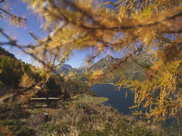
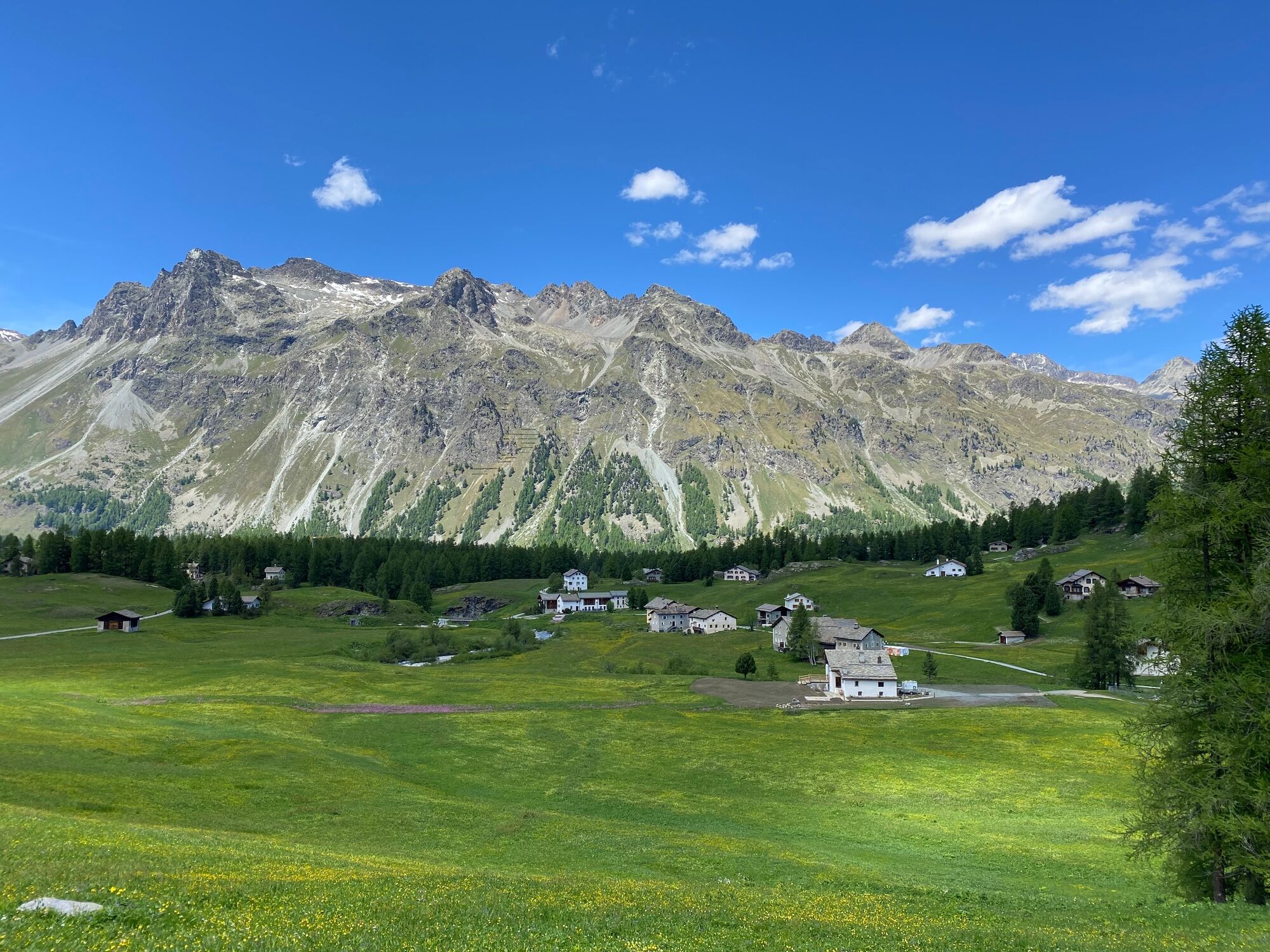
Walk beside the road into Val Fex, past the Hotel Waldhaus, to Vaüglia. Here you turn right, away from the road and through a primeval forest. The hiking trail takes you past an upland moor, in front of Alp Petpreier, and on to the Muott'Ota ridge, from where you can enjoy a superb view over Lake Sils and of the imposing Piz da la Margna. Your next destination is the first pronounced crest, after which you cross wide expanses of Alpine meadows down to the valley floor. You can return to Sils by horse-drawn carriage from outside the Hotel Fex, or hike through the hamlets of Curtins, Crasta and Platta and the impressive rock gorge back to the picturesque little village of Sils Maria.
More information
Engadin Tourismus AG
Via Maistra 1
CH-7500 St. Moritz
Phone: +41 81 830 00 01
E-mail: allegra@engadin.ch
Internet: www.engadin.ch - Directions
-
Sils - Muott' Ota – Val Fex – Sils
- Highest point
- 2,453 m
- Endpoint
-
Sils Maria post office
- Height profile
-
 © outdooractive.com
 - Equipment
-
Hiking boots, rain jacket and sun protection are recommended.
- Tips
-
On this hike you will pass the museum Cheva Plattas da Fex, where you will learn interesting facts about the Fexer plates.
- Directions
-
Sils Maria
- Public transportation
-
Busstop Sils/Segl Maria, Posta
- Parking
-
Parking garage Sils/Segl Val Fex


- Author
-
The tour Sils - Muott' Ota – Val Fex – Sils is used by outdooractive.com provided.
GPS Downloads


General info
Refreshment stop
Flora
A lot of view
Other tours in the regions
-
Veltlin / Valtellina
852
-
Engadin St. Moritz
782
-
Sils
311