


- Brief description
-
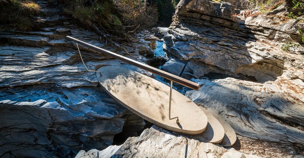
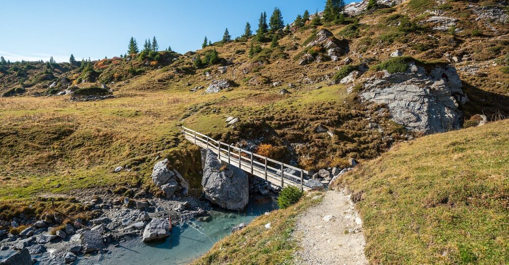
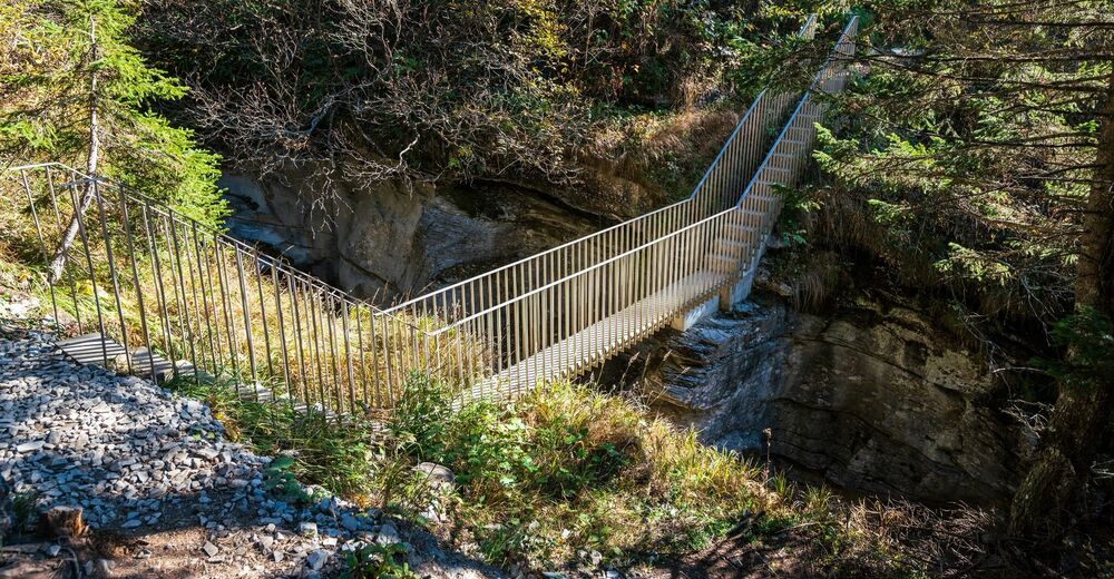
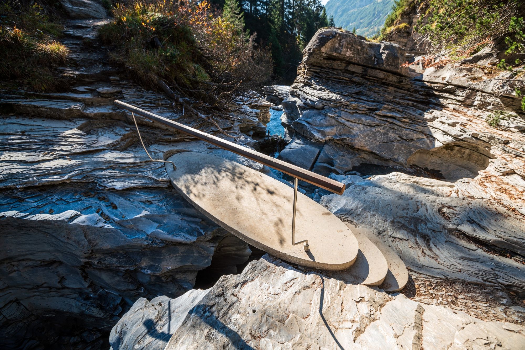
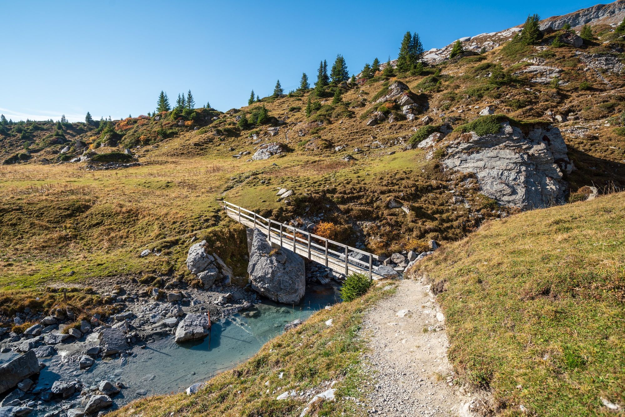
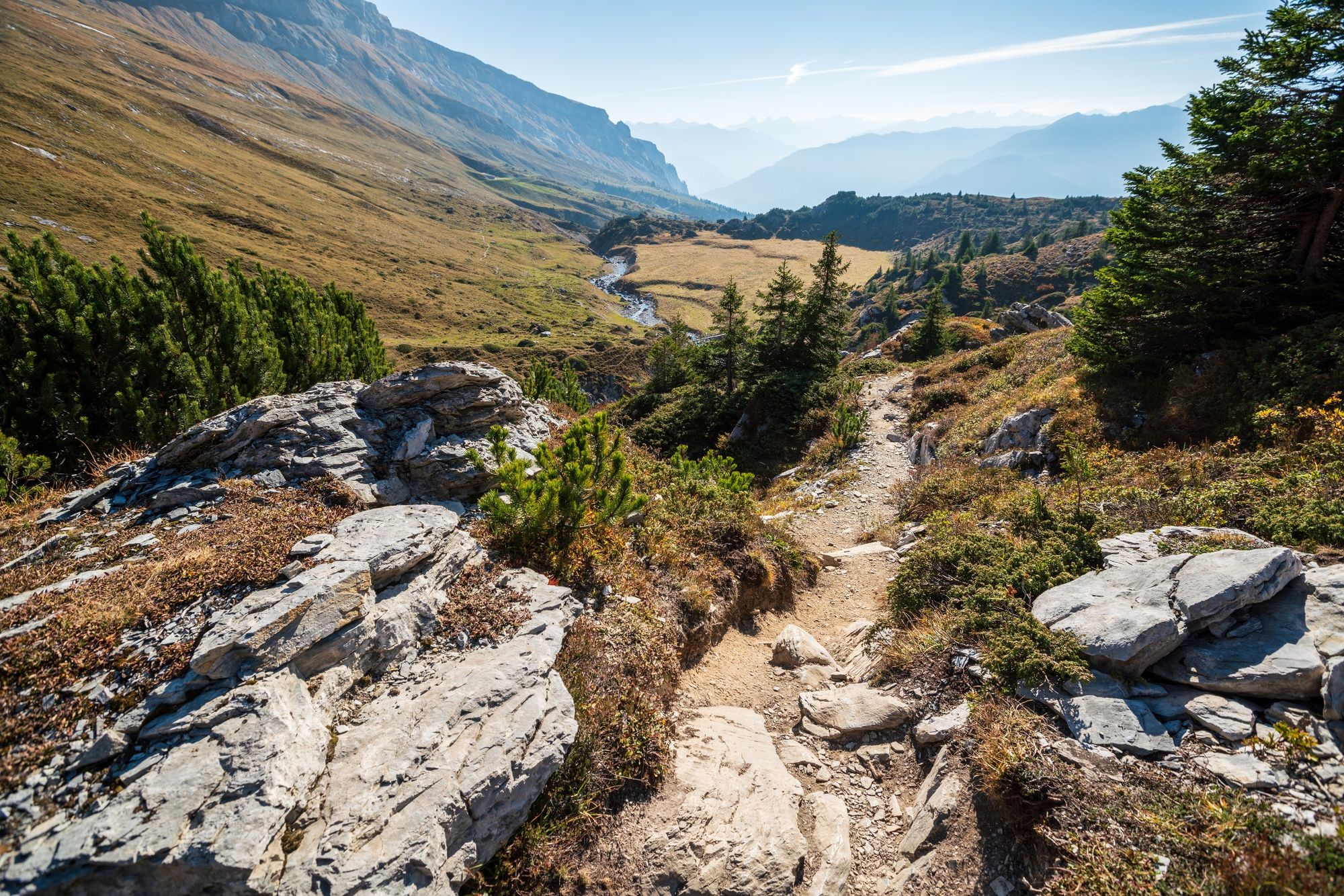
It is a challenging trail that gives unknown insights into the Flemser stream - the Flims brook - which are unique and give mystical impressions to the Flims landslide area. The trail is accessible in whole or in several sections.
- Difficulty
-
medium
- Rating
-
- Starting point
-
Flims, Segneshütte
- Route
-
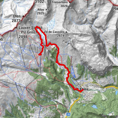
Segnas4.7 kmPunt Desch7.8 kmStartgels8.8 kmFoppa (1,424 m)11.0 kmFlims (1,081 m)14.2 km
- Best season
-
JanFebMarAprMayJunJulAugSepOctNovDec
- Description
-
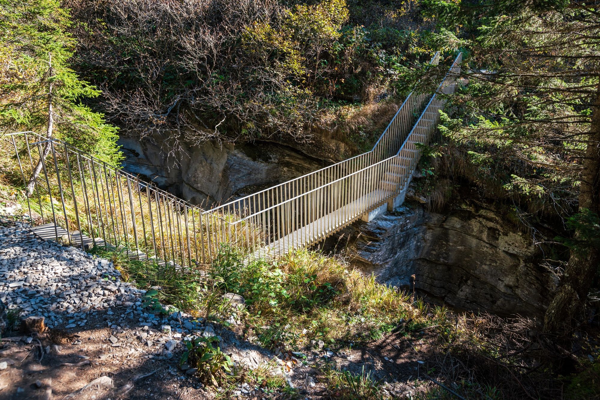
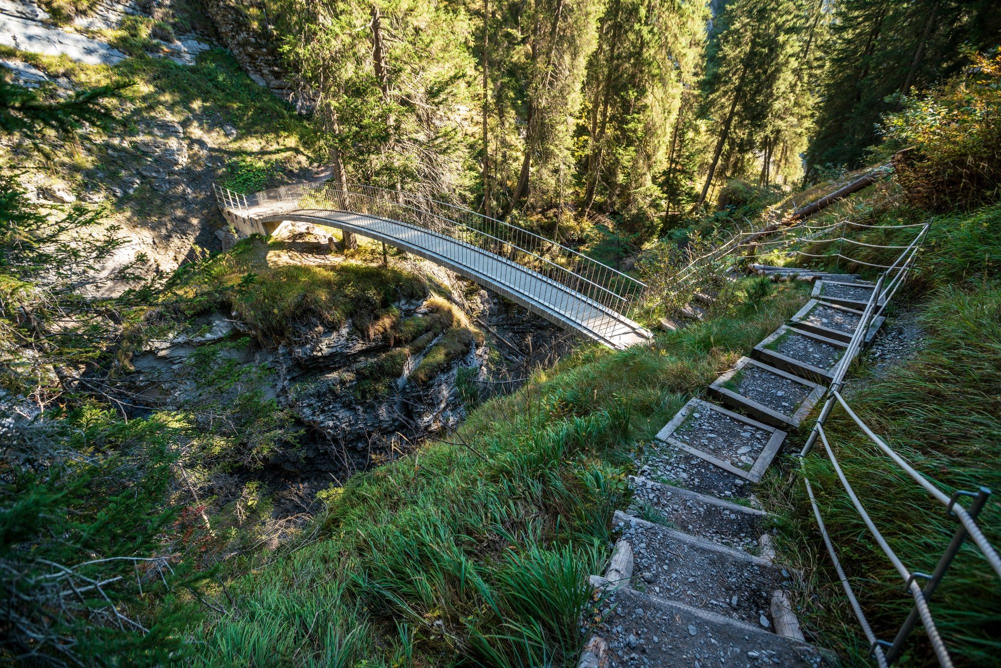
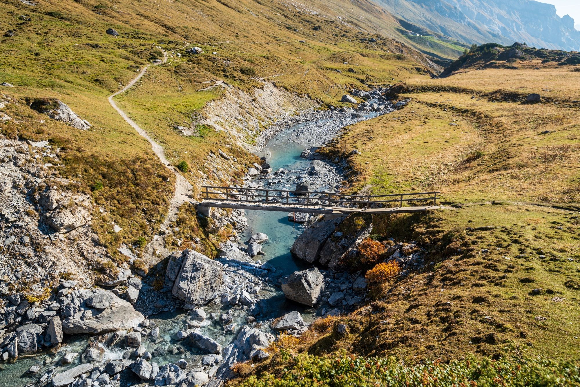
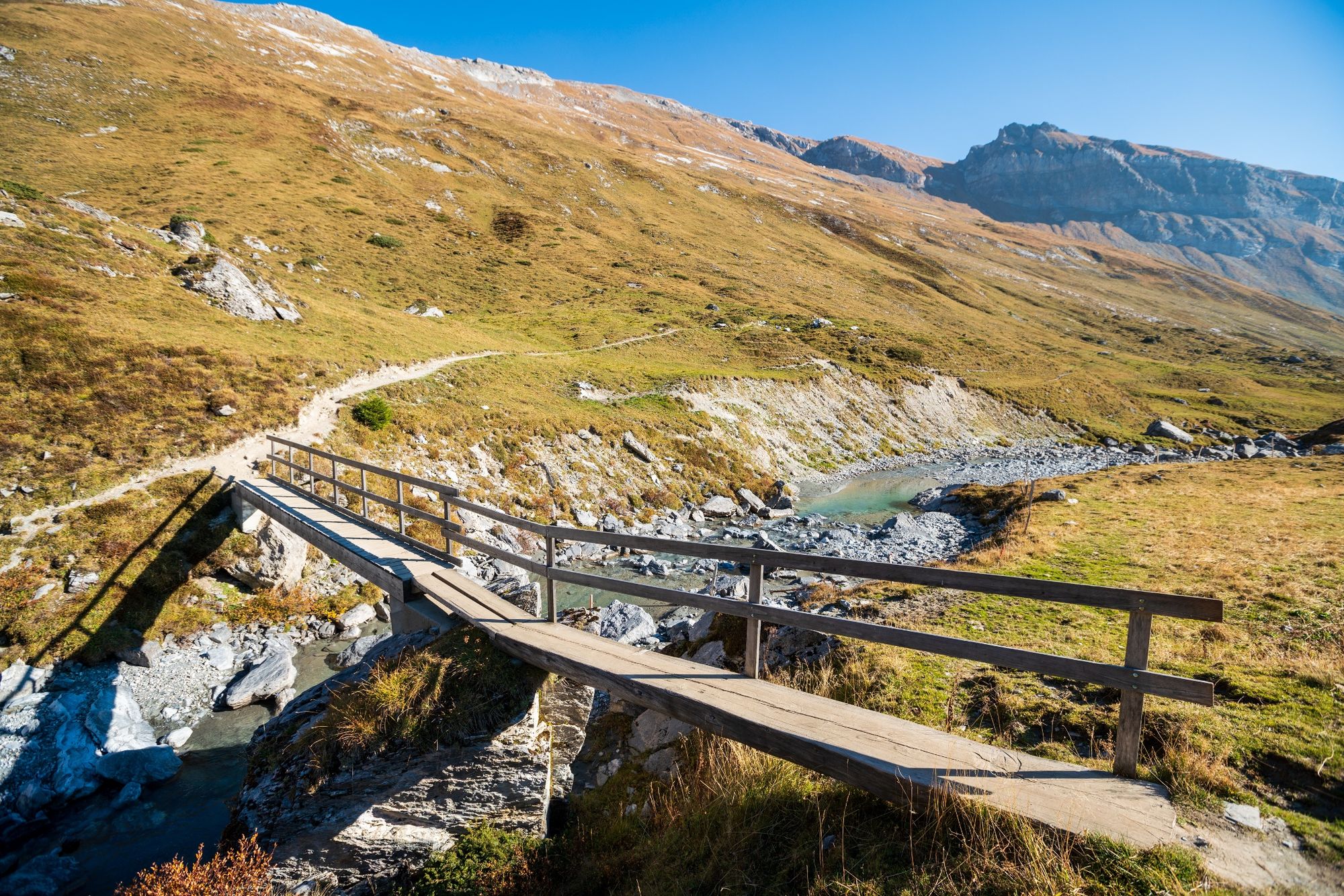
The path "Trutg dil Flem" leads along the stream Flem from the Flims towards Segnesboden. On a total of seven, sometimes boldly designed bridges, the Flem is crossed. From here we can see the bizarre rock formations and waterfalls of the gorges of the Flem particularly well. The starting point of the path is the waterfall on the Segnesboden.
Snowline map
While at higher altitudes there is at best already snow, the trails in the valley are still free of snow. Our interactive snow depth map helps you to plan your tour. Here you can see at a glance at www.flims.com/schneesituation where you can already expect snow on the paths and trails and where you can still be on the road without getting cold feet.
- Directions
-
Segnesboden - Flims
- Highest point
- 2,238 m
- Endpoint
-
Flims Base Station
- Height profile
-
 © outdooractive.com
 - Equipment
-
Good mountain boots are highly recommended.
Always wear a rain cover with you.
- Safety instructions
-
The "Trutg dil Flem" is a beautiful, demanding mountain hiking trail through the alpine region of the UNESCO World Natural Heritage "Tectonics Arena Sardona" with hanging trusses, bridges and jetties over running water. On the white-red-white marked route, surefootedness is required. We recommend the following:
Children are supervised. With small children we recommend the following sections. Startgels to Foppa or from Foppa to the village center.
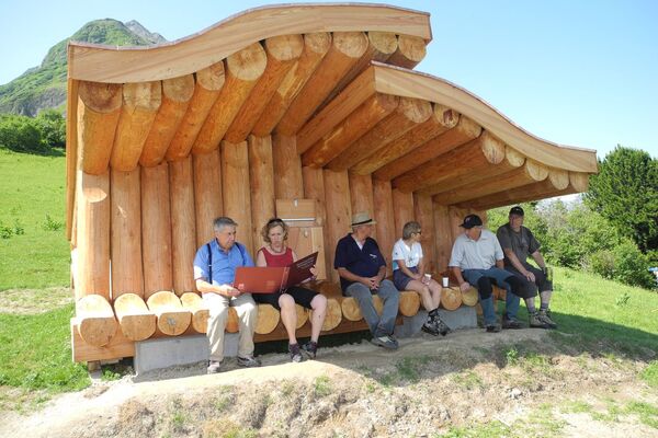
There are catering options on the route (Segneshütte, Startgels, Runca Höhe).
- Tips
-
Take your own food with you and enjoy a picnic in these amazing surroundings.
- Additional information
- Directions
-
By car motorway A13 from Zürich, exit 18 Flims.
- Public transportation
-
Bus stop: Flims Bergbahnen
By postbus from Chur or by Flims Laax Falera Shuttle from Flims Post.
- Parking
-
750 parking spots in the parking garage Flims Bergbahnen, subject to a charge.


-

-
AuthorThe tour The waterway: Trutg dil Flem is used by outdooractive.com provided.


General info
-
Glarnerland
1972
-
Flims Laax Falera
772
-
Ladir
321