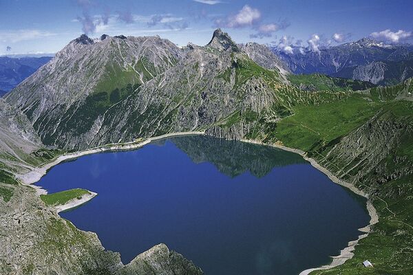
© Heidiland Tourismus - Werner Forrer
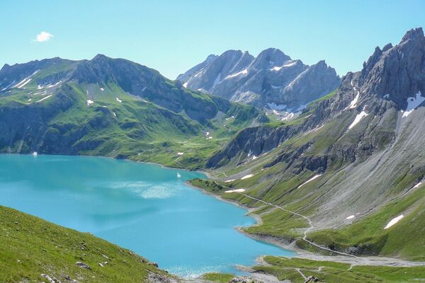
© Heidiland Tourismus - Werner Forrer
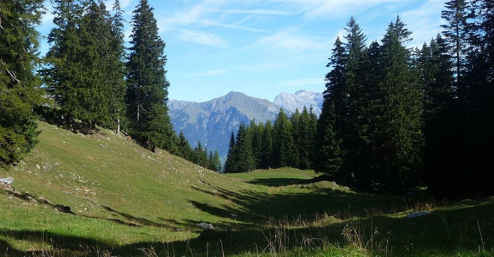
© Heidiland Tourismus - Werner Forrer
© Heidiland Tourismus - Werner Forrer
© Heidiland Tourismus - Werner Forrer
© Heidiland Tourismus - Werner Forrer
© Heidiland Tourismus - Werner Forrer

- Brief description
-
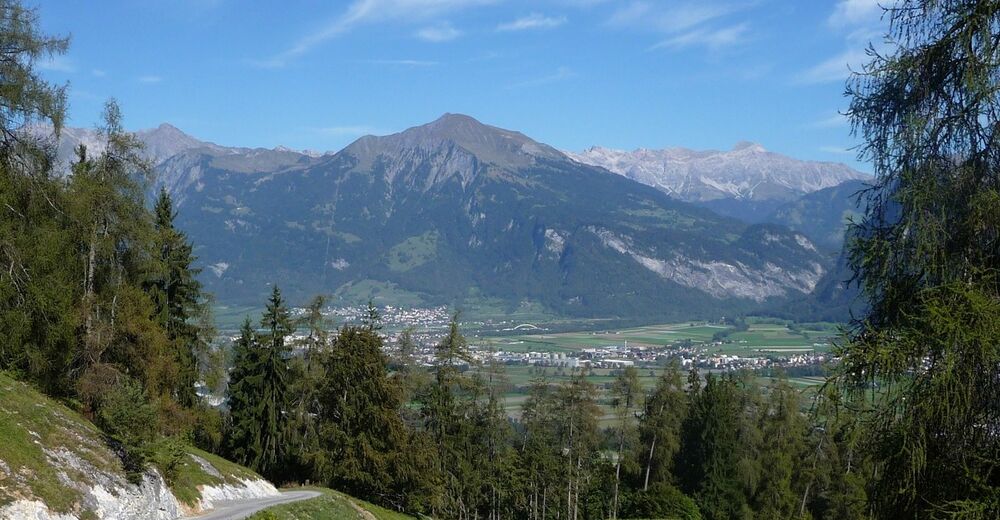
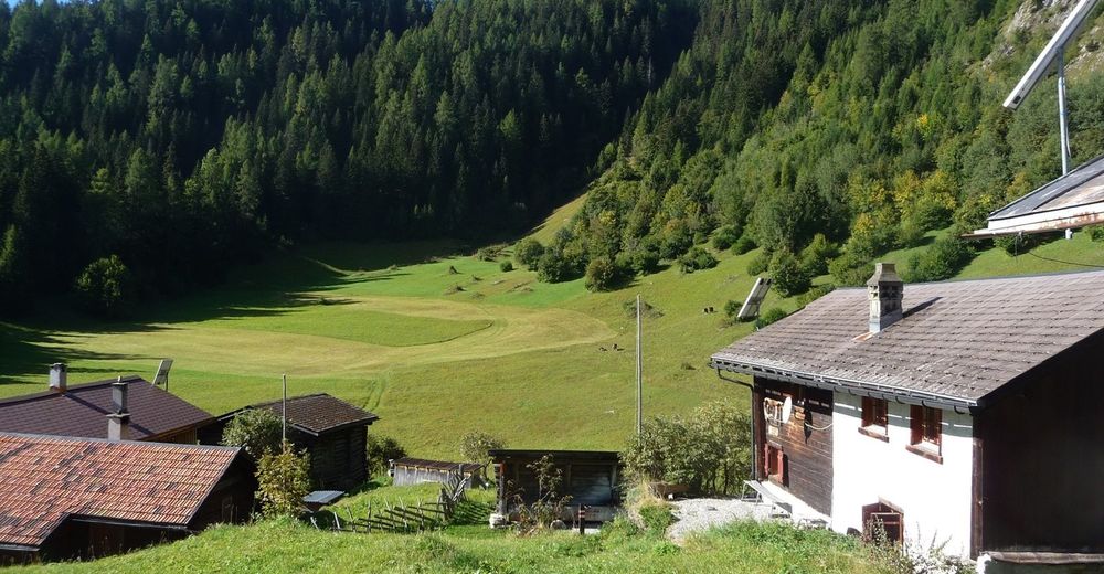
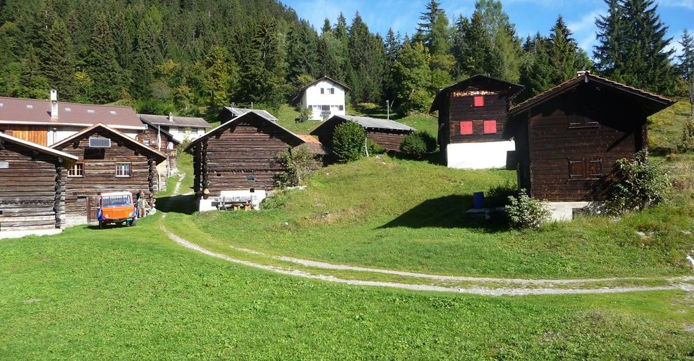
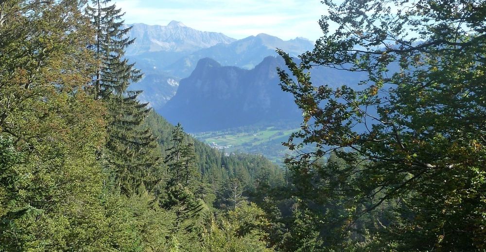
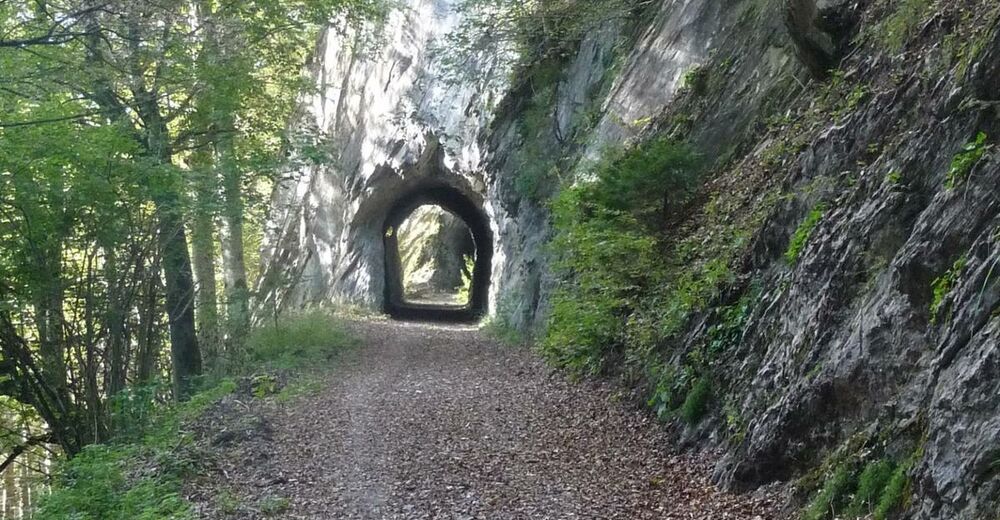
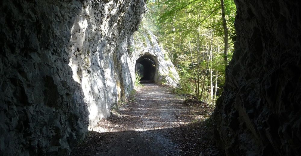
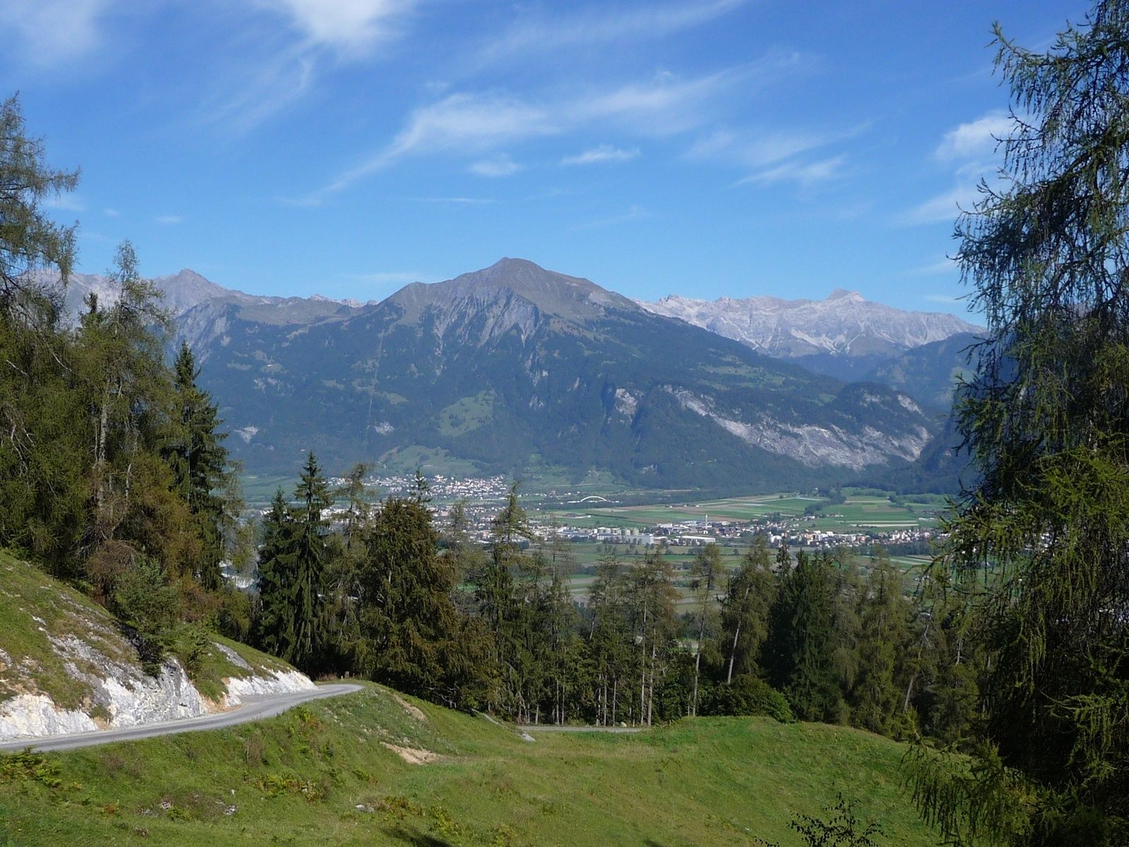
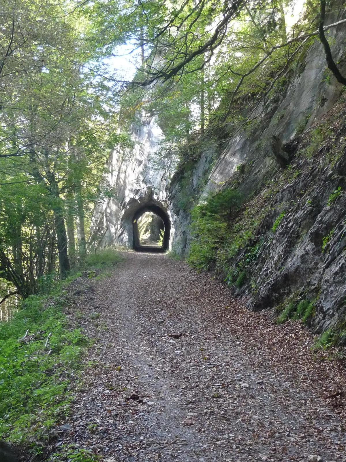
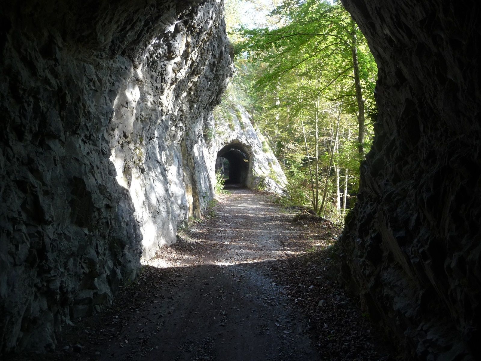
A little off the A13, shortly after Chur, on the left bank of the Rhine we find the village Untervaz, which belongs to the Five Villages area. At the foot of Calanda there is the Holcim mining area (Untervaz cement works).
- Difficulty
-
medium
- Rating
-
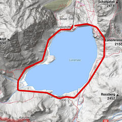
- Route
-
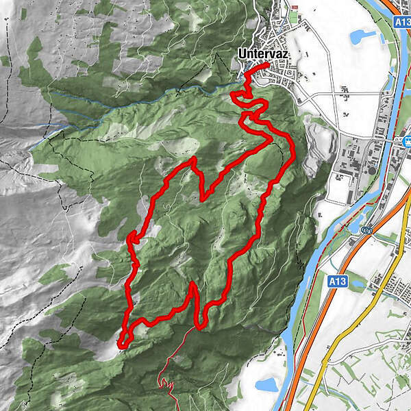
Untervaz (564 m)0.0 kmReformierte Kirche0.0 kmPramanengel2.9 kmReformierte Kirche15.7 kmUntervaz (564 m)15.7 km
- Best season
-
JanFebMarAprMayJunJulAugSepOctNovDec
- Highest point
- 1,519 m
- Endpoint
-
Untervaz, Restaurant Linde
- Height profile
-
 © outdooractive.com
- Author
-
The tour Untervaz is used by outdooractive.com provided.
GPS Downloads


General info
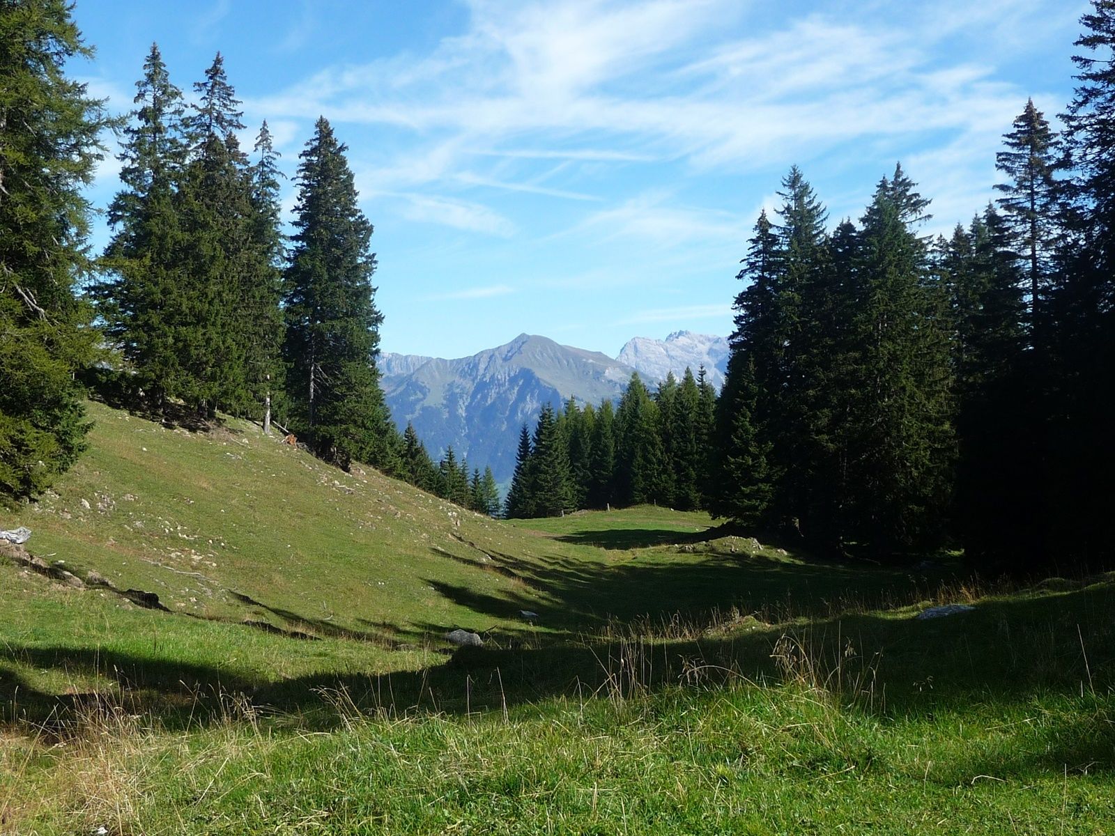
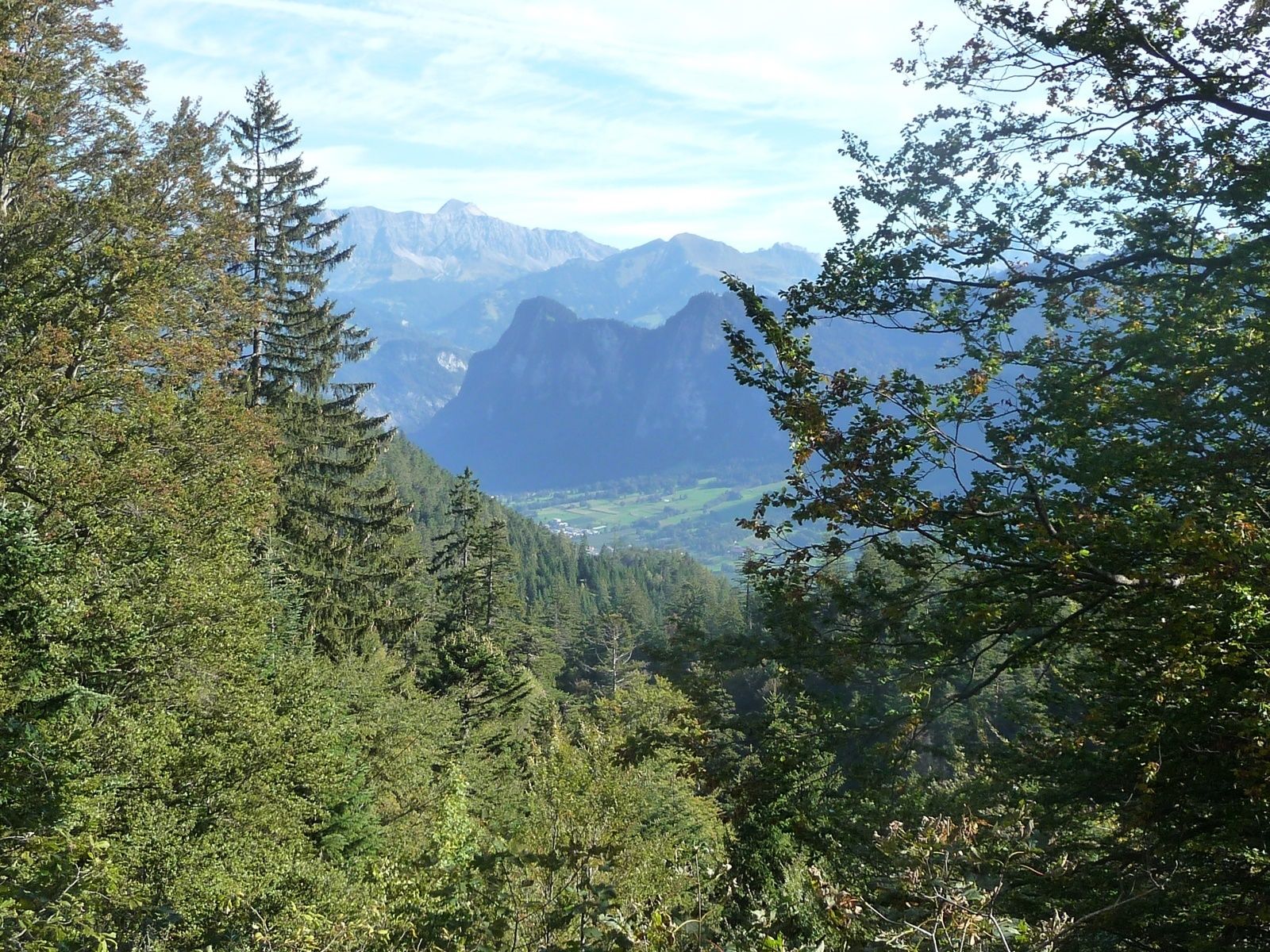
A lot of view