© Engadin Tourismus AG - Chatrigna Signorell

© Engadin Tourismus AG - Chatrigna Signorell


- Brief description
-
This easy hike lets you immerse yourself in the Engadin nature and admire beautiful Engadin houses.
- Difficulty
-
easy
- Rating
-
- Starting point
-
Chamues-ch, village square
- Route
-
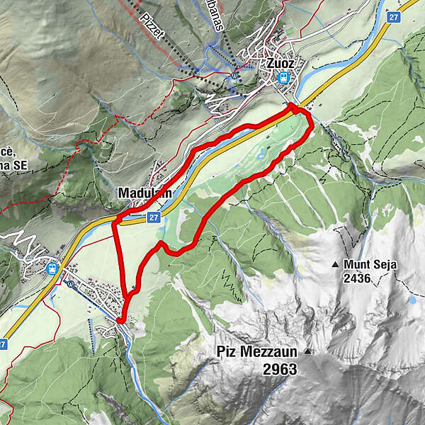
Chamues-chRef. Kirche Chamues-ch0.1 kmResgia4.1 kmZuoz (1,716 m)4.3 kmMadulain (1,697 m)6.5 kmReformierte Kirche6.8 kmRef. Kirche Chamues-ch8.2 kmChamues-ch8.4 km
- Best season
-
JanFebMarAprMayJunJulAugSepOctNovDec
- Description
-
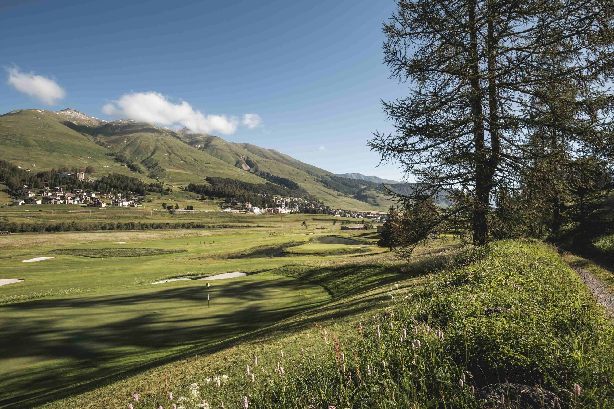
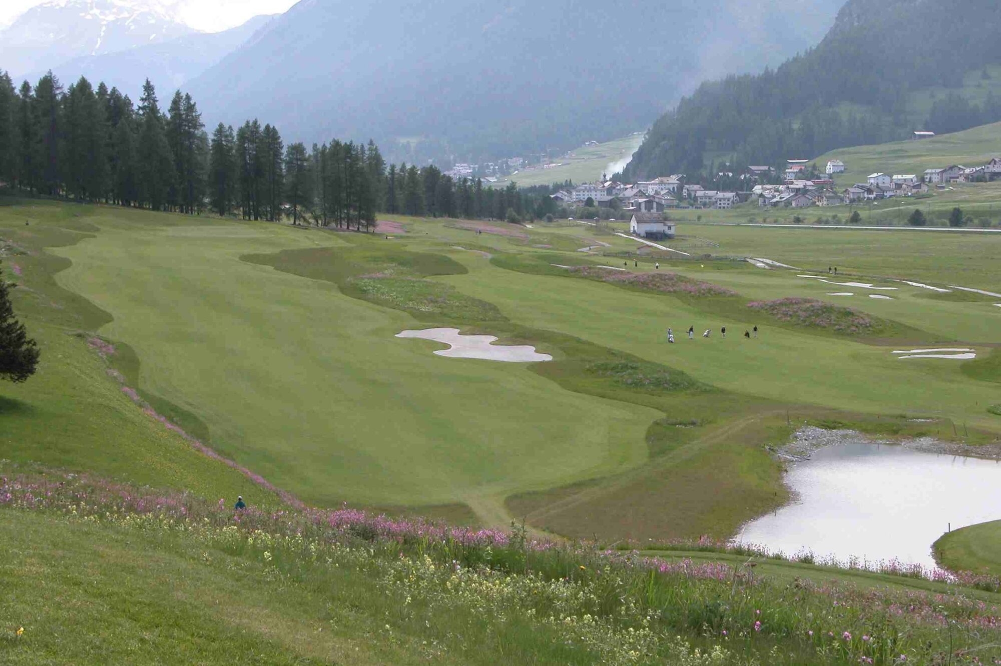
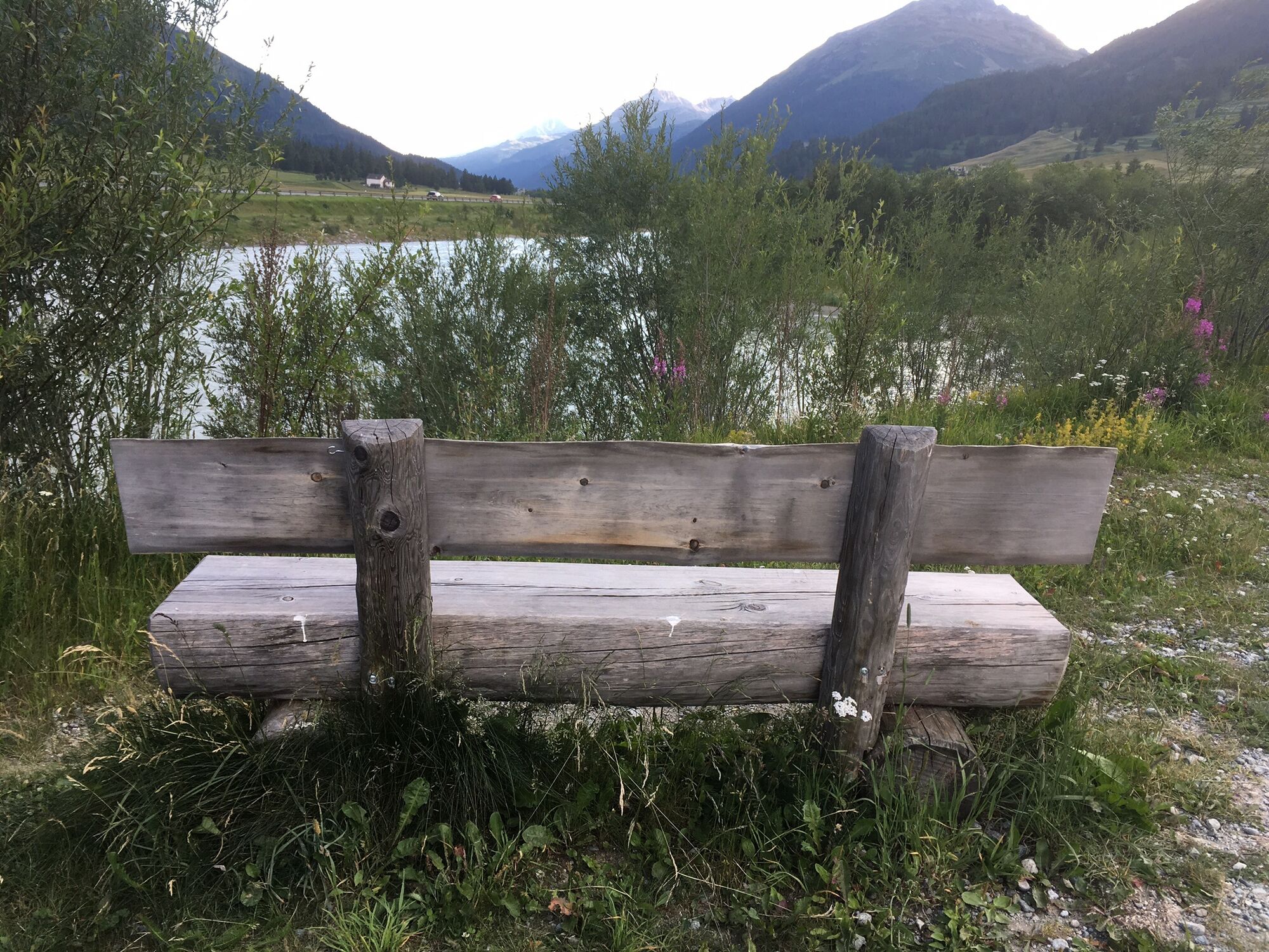
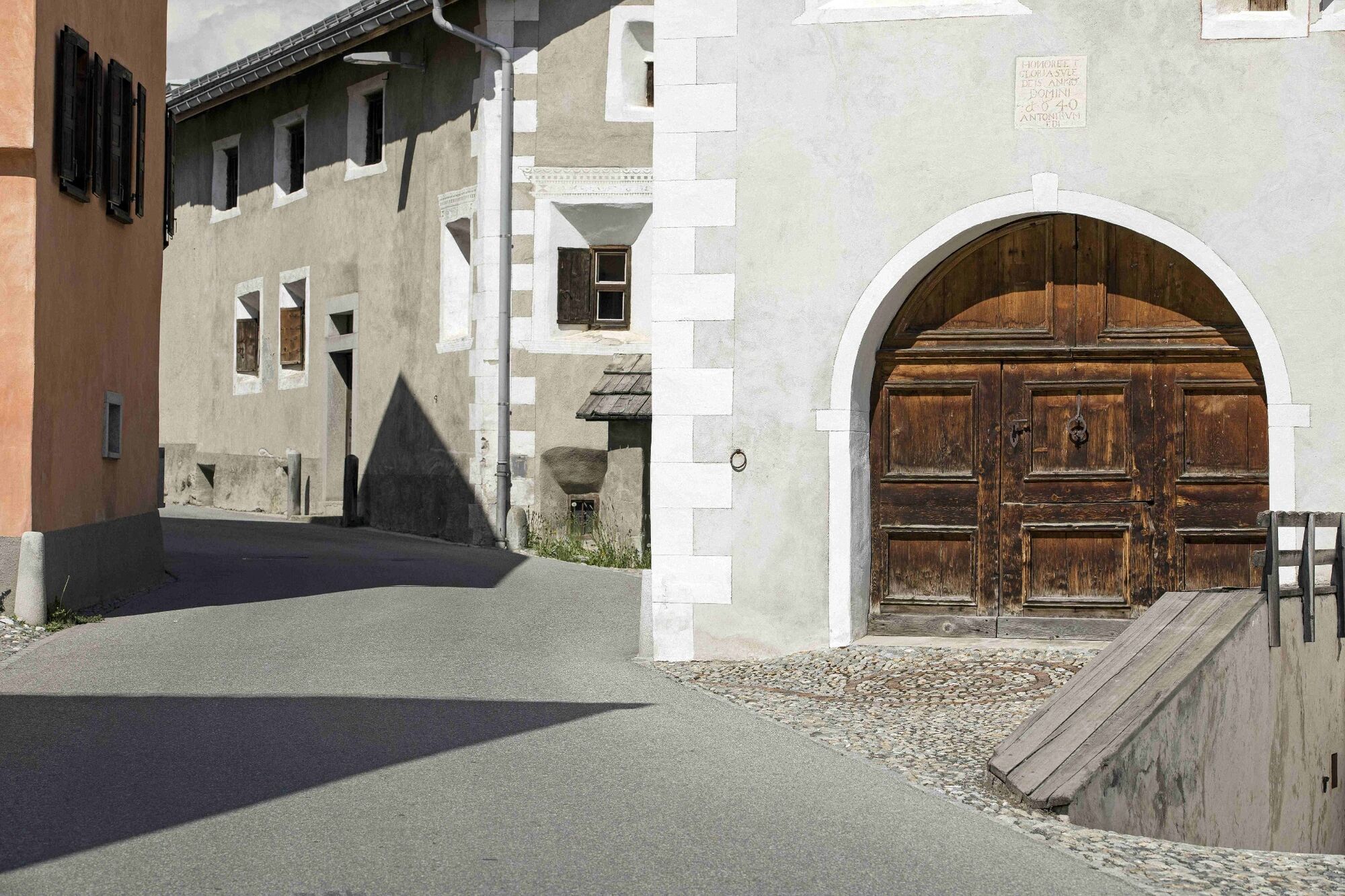
The start and finish is the village square of Chamues-ch. After the Romanesque church of San Andrea from the 13th century, the route turns left towards Zuoz into the fragrant woods. Short ascents and descents with alternating views of the golf course and the family ski area of Zuoz, lead to Zuoz La Resgia. A short stretch on the asphalt and over the Inn bridge leads to the orographic left side of the Inn. The relaxing trail to Madulain crosses the alluvial landscape of San Bartumieu, which is included in the Federal Inventory of Landscapes of National Importance. In Madulain, the smallest Upper Engadin municipality, you pass typical Engadin houses. At the end of the village, the circular trail turns under the road bridge and through the fields towards Chamues-ch, where you reach the village square again.
More information
Engadin Tourismus AG
Via Maistra 1
CH-7500 St. Moritz
Phone: +41 81 830 00 01
E-mail: allegra@engadin.ch
Internet: www.engadin.ch - Directions
-
Chamues-ch, village square - Church San Andrea - Pradatsch - Center Sur En Zuoz - San Bartumieu - Madulain - Punt da Sass - Chamues-ch - Chamues-ch, village square
- Highest point
- 1,729 m
- Endpoint
-
Chamues-ch, village square
- Height profile
-
 © outdooractive.com
 - Public transportation
- Parking
- Author
-
The tour Chamues-ch - Zuoz - San Bartumieu is used by outdooractive.com provided.
GPS Downloads


General info
Refreshment stop
Flora
Other tours in the regions
-
Engadin St. Moritz
782
-
Madulain
218