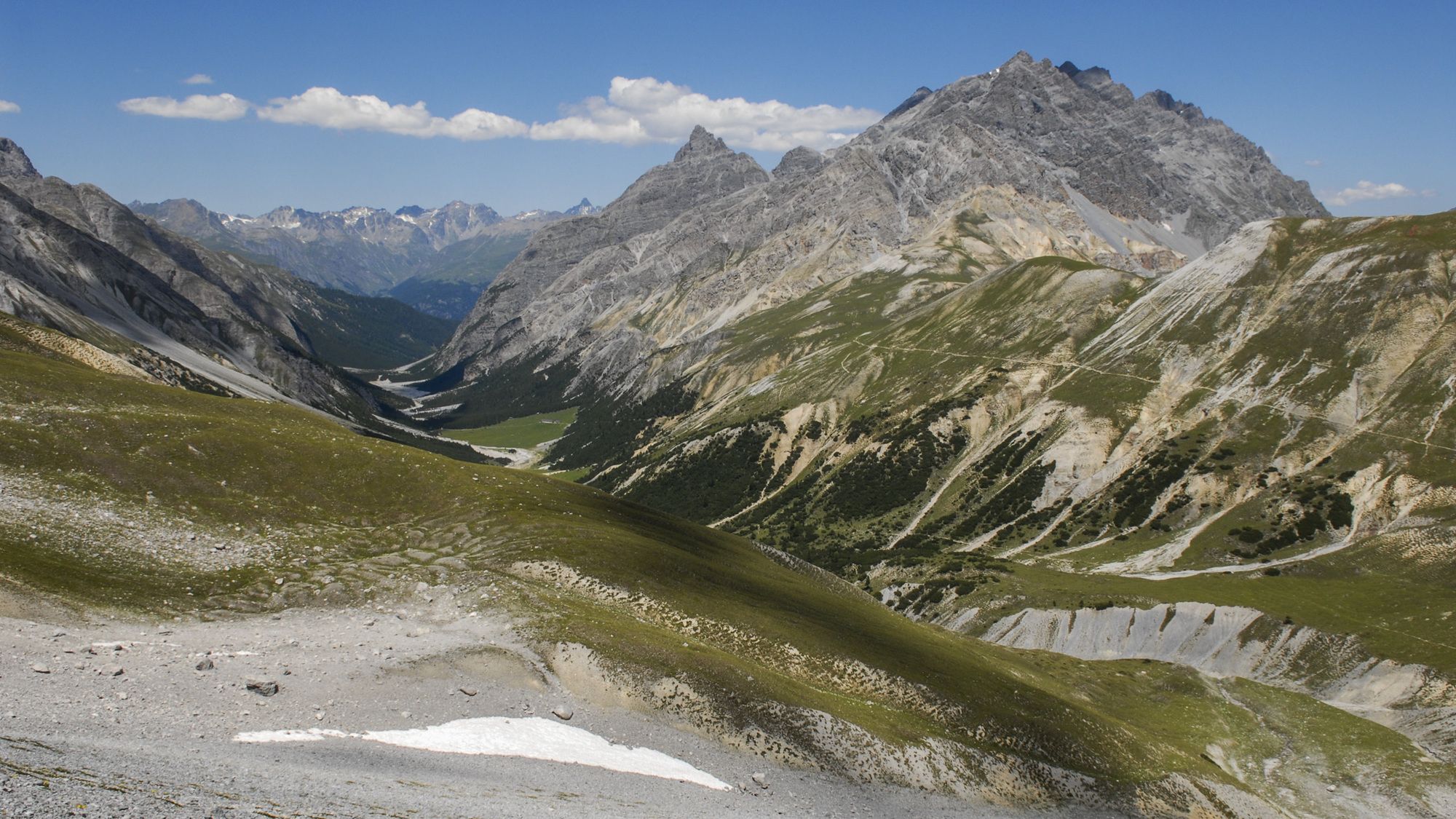
© Engadin Samnaun Val Müstair - Schweizerischer Nationalpark / Hans Lozza

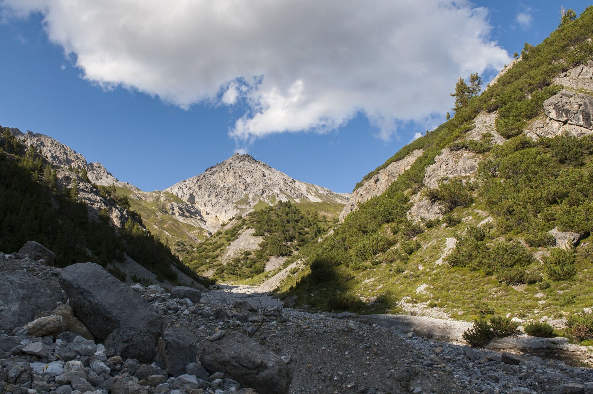
© Engadin Samnaun Val Müstair - Schweizerischer Nationalpark / Hans Lozza

© Engadin Samnaun Val Müstair - Schweizerischer Nationalpark / Hans Lozza

- Brief description
-
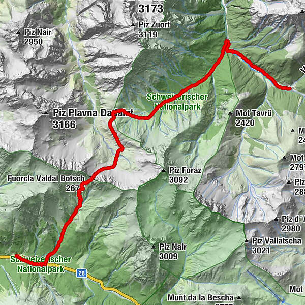
Eine klassische Pass-Wanderung, die das Ofenpassgebiet mit der Val Mingèr und der Val S-charl verbindet. Die Flora im Aufstieg gehört zur schönsten im ganzen Schweizerischen Nationalpark.
- Difficulty
-
medium
- Rating
-
- Route
-
Hotel Parc Naziunal Il FuornIl FuornS-charl (1,810 m)17.6 km
- Best season
-
JanFebMarAprMayJunJulAugSepOctNovDec
- Highest point
- 2,664 m
- Endpoint
-
Postauto-Haltestelle S-charl (1810 m ü.M.)
- Height profile
-
 © outdooractive.com

- Author
-
The tour Fuorcla Val dal Botsch : Die Drei-Täler-Tour is used by outdooractive.com provided.
GPS Downloads


General info
Cultural/Historical
Flora
Fauna
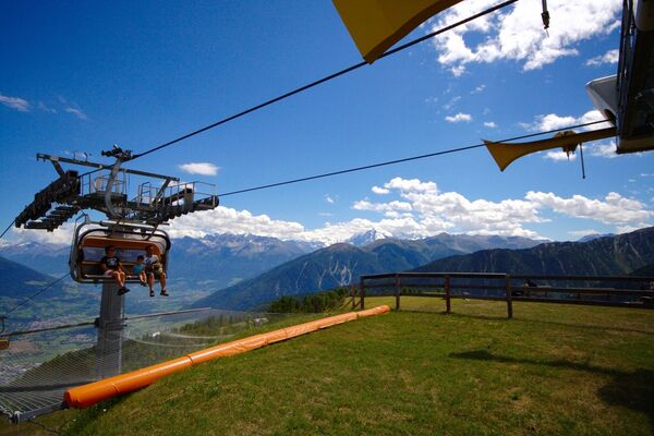
A lot of view
Other tours in the regions