- Brief description
-
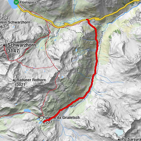
Arrival in Davos and on to the Flüela Pass. There the first, short stage starts in the direction of the Grialetsch Hut.
- Difficulty
-
medium
- Rating
-
- Starting point
-
Flüela pass
- Route
-
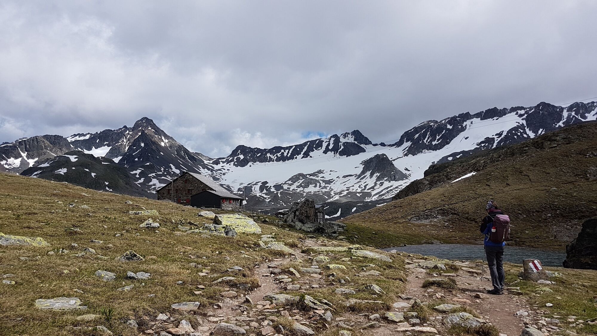
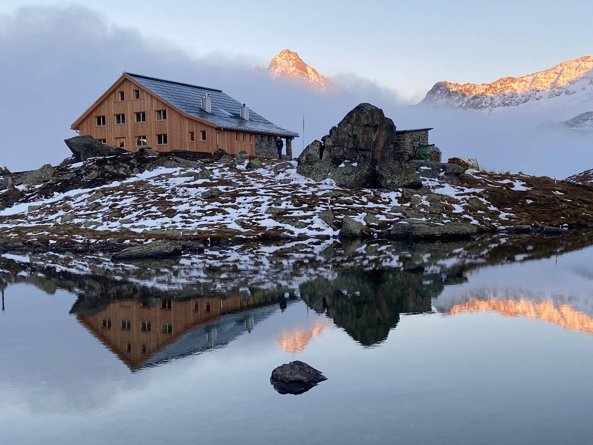
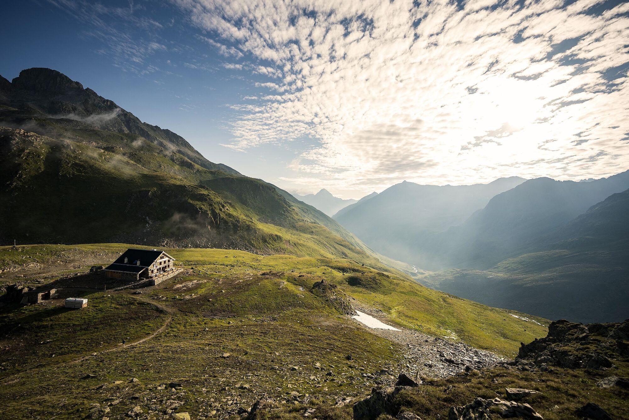
Grialetschhütte (2,542 m)5.2 km
- Best season
-
JanFebMarAprMayJunJulAugSepOctNovDec
- Description
-
You start the Kesch Trek on the Flüela Pass. From the bus stop Susch, Chantsura you hike to the newly renovated Grialetsch hut. You can also start the stage in Dürrboden in the Dischma valley and walk from there to the hut (approx. 2h). Both variants are well suited as an introduction to the long-distance hike.
Whole tour: Kesch-Trek
Stage 2: Grialetsch hut SAC - Kesch hut SAC
- Highest point
- 2,532 m
- Endpoint
-
Grialetsch hut SAC
- Height profile
-
 © outdooractive.com
 - Equipment
-
Good mountain boots, weatherproof and warm clothing, rain protection, food for the hiking stages (packed lunches can also be obtained in the huts), enough water, sun and head protection, medicine chest, maps for orientation and hiking poles.
- Safety instructions
-
The Kesch Trek is an alpine mountain hike. The potential dangers in the high mountains must be correctly assessed. The hiking stages require a good condition.
- Additional information
- Directions
-
By car to Davos Platz.
- Public transportation
-
From Landquart to Davos with the Rhaetian Railway. From Davos Platz, Walserhuus Sertig can be reached on foot or by bus.
- Parking
-
Parking is free of charge at the Jakobshorn car park in Davos Platz.
- Author
-
The tour Kesch-Trek stage 1 is used by outdooractive.com provided.


General info
-
Davos Klosters
927
-
Susch
111