© Flims Laax Falera - Dagmar Surink

© Flims Laax Falera - Dagmar Surink
- Brief description
-
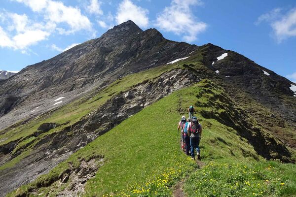
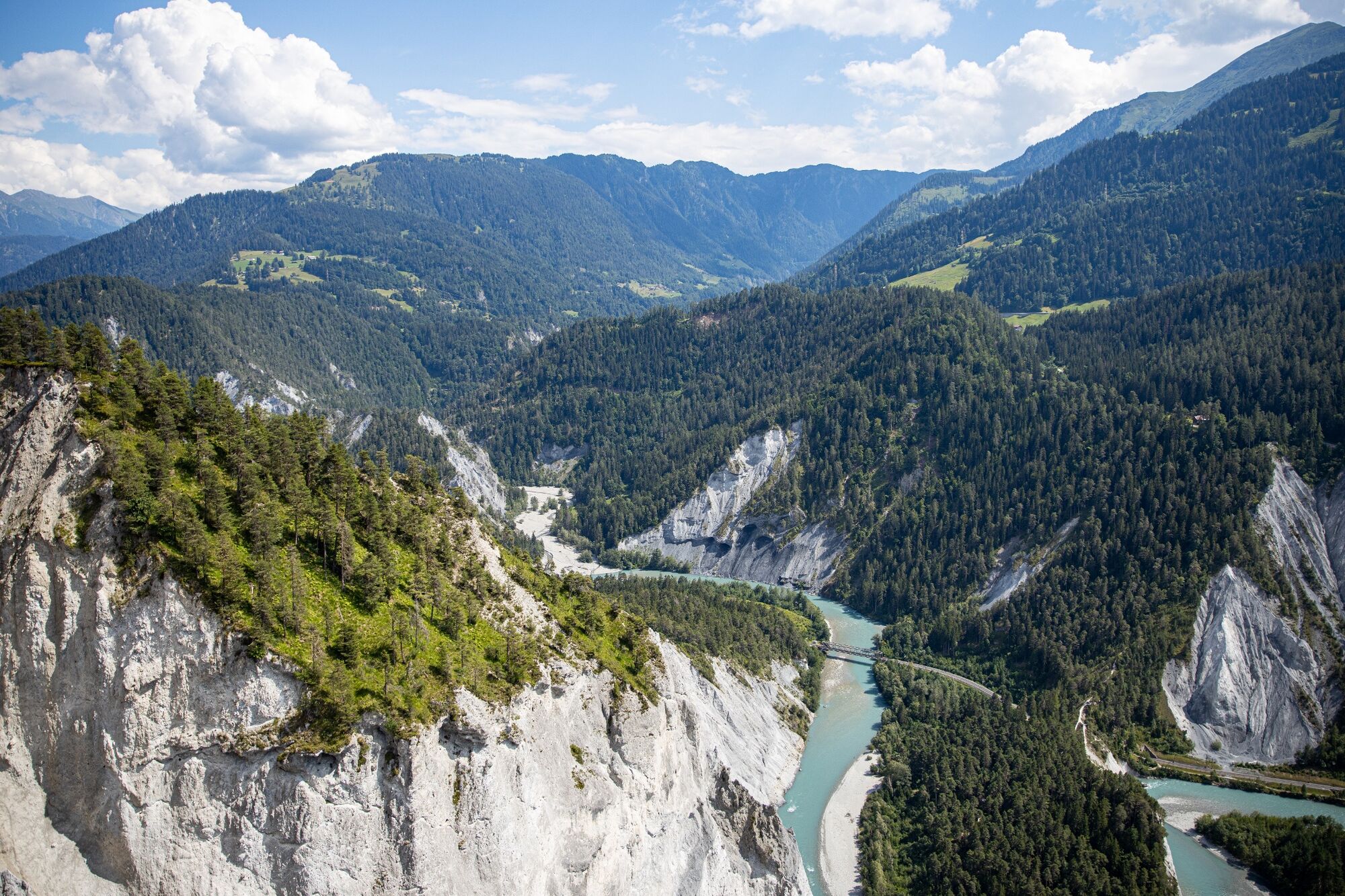
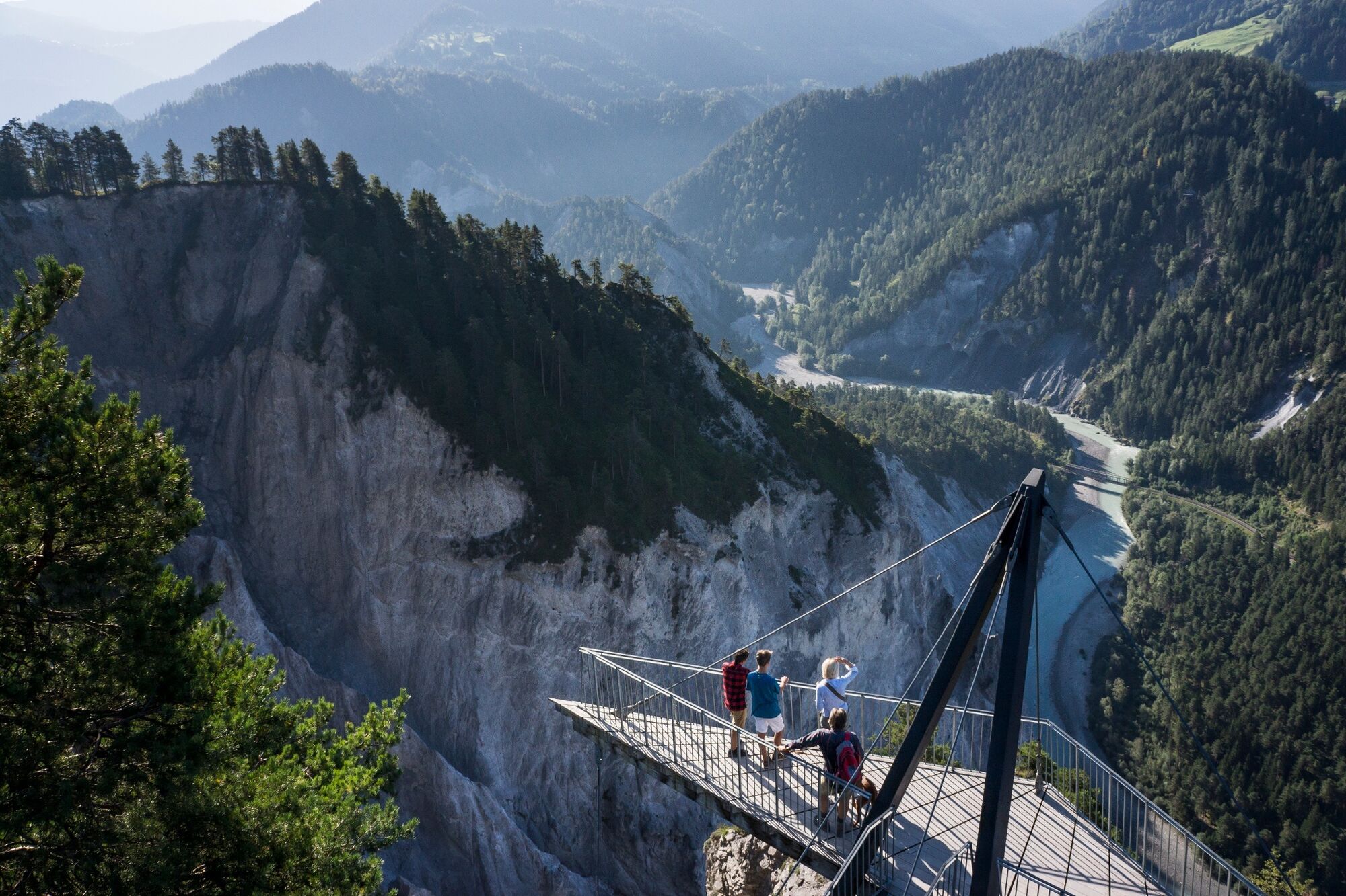
The hike leads through the fairytale-like Flims forest, past the Il Spir viewing platform and into the Rhine Gorge to Valendas Station.
- Difficulty
-
medium
- Rating
-
- Starting point
-
Prau la Selva
- Route
-
Plaunca dil Conn4.2 kmPlaunca dall` Isla4.4 kmAusflugsrestaurant Conn4.6 kmIl Spir5.0 kmEr Davos6.7 kmVersam-Safien (635 m)9.6 kmIsla11.8 kmValendas-Sagogn (669 m)14.0 km
- Best season
-
JanFebMarAprMayJunJulAugSepOctNovDec
- Description
-
Combine the hike with the new mountain spring shuttle ,daily from 16.04. - 24.05.2021
Valendas Shuttle
The Valendas Shuttle takes you daily to Sagogn and Valendas - the ideal starting point for exploring the Rhine Gorge.
- Directions
-
Prau la Selva - Mutta Höhe - Conn - Il Spir - Ransun - Valendas (Bus)
- Highest point
- 1,196 m
- Endpoint
-
Valendas Station
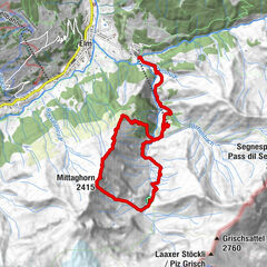
- Height profile
-
 © outdooractive.com
 - Equipment
-
Good shoes, weather appropriate clothing (rain jacket, /sun protection), drink, possibly food, possibly walking sticks.
- Safety instructions
-
Snow and icy conditions may occur.
- Tips
-
Enjoy a café in the cosy station building in Valendas - Sagogn
- Additional information
- Directions
-
By car Motorway A13 from Zurich, exit Flims
- Public transportation
-
Stop: Flims Waldhaus Camping
With the Postbus from Chur, or the public Flims Laax Falera Shuttle.
- Parking
-
Parking spaces at the sports centre
- Author
-
The tour Sports centre - Valendas is used by outdooractive.com provided.
GPS Downloads


General info
Refreshment stop
Flora
A lot of view
Other tours in the regions
-
Heidiland
2200
-
Flims Laax Falera
772
-
Trin
277