- Brief description
-
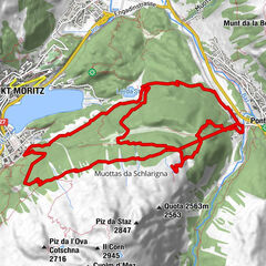
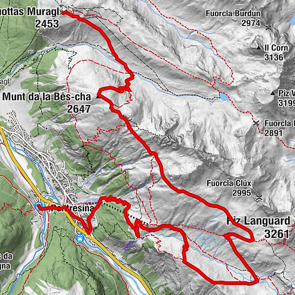
Wandern über dem Flaztal. Der Gebirgsfluss kommt vom Berninapass herunter. Der aussichtsreiche Abstieg befriedigt alle Wünsche an eine erfüllte Bergtour.
- Difficulty
-
difficult
- Rating
-
- Route
-
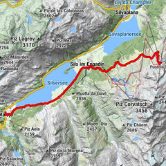
Muottas Muragl (2,456 m)0.0 kmMargun1.3 kmSchafberg (2,647 m)3.0 kmSegantinihütte3.4 kmParadieshütte9.6 kmLanguard12.7 kmPontresina (1,805 m)15.5 kmPontresina (1,774 m)16.1 km
- Best season
-
JanFebMarAprMayJunJulAugSepOctNovDec
- Highest point
- 2,743 m
- Endpoint
-
Pontresina
- Height profile
-
 © outdooractive.com
- Author
-
The tour Über die Segantini Hütte (2.731 m) is used by outdooractive.com provided.
GPS Downloads


General info
Refreshment stop
A lot of view
Other tours in the regions
-
Veltlin / Valtellina
852
-
Engadin St. Moritz
782
-
Pontresina
317