


- Brief description
-
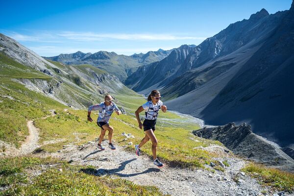
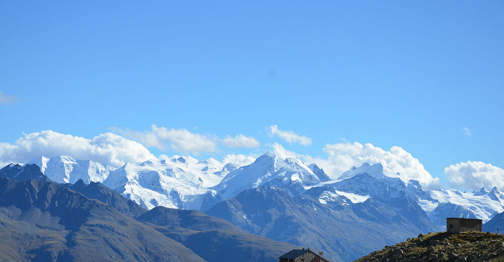
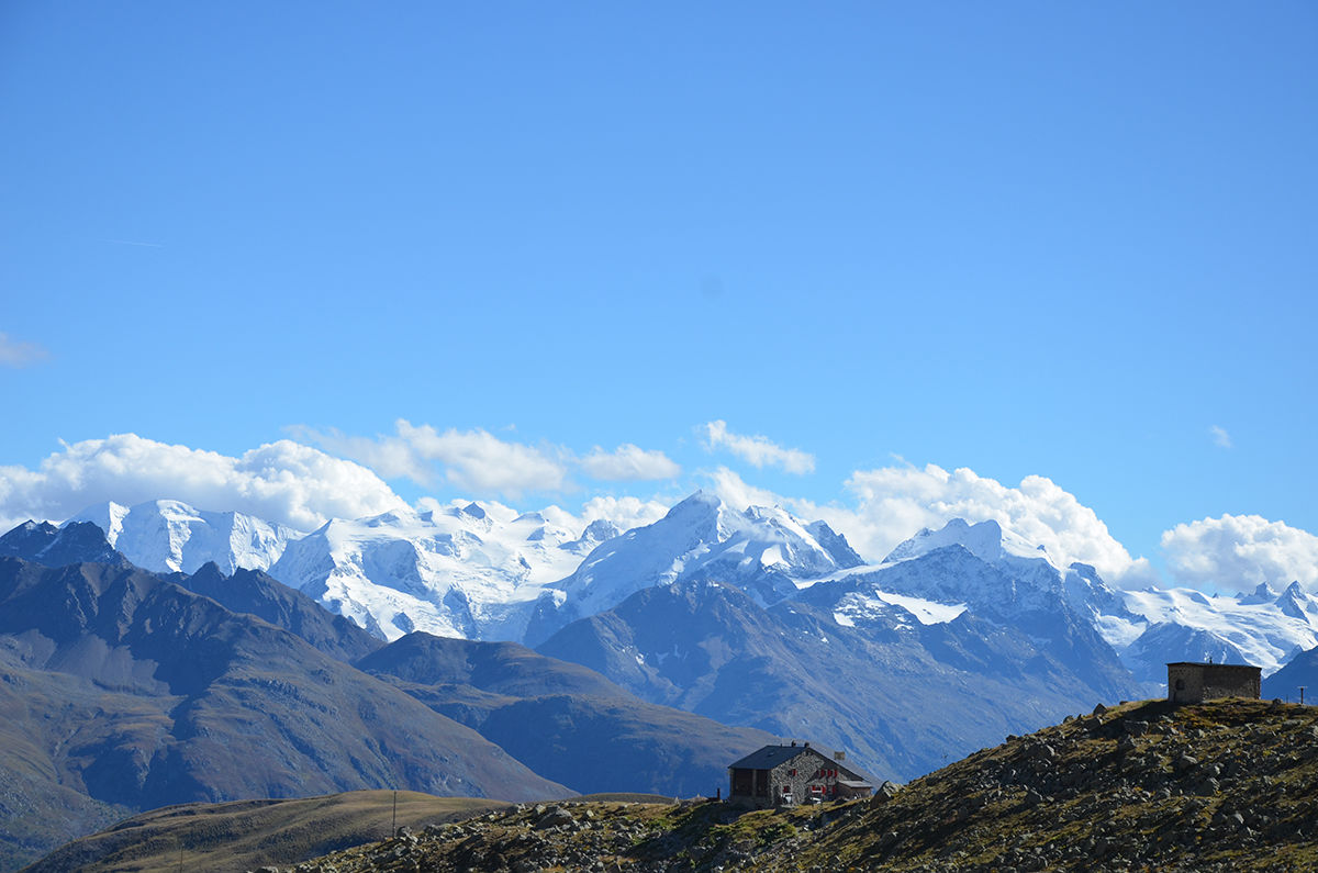
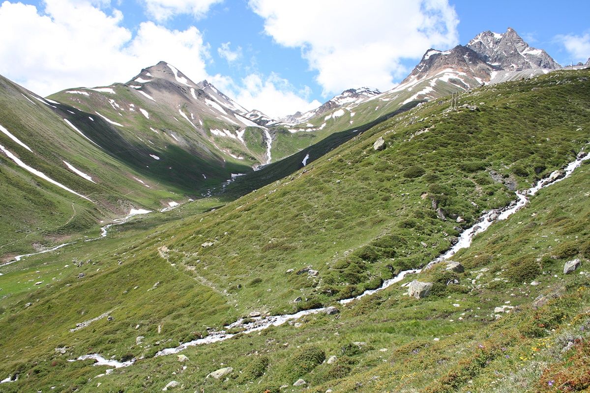
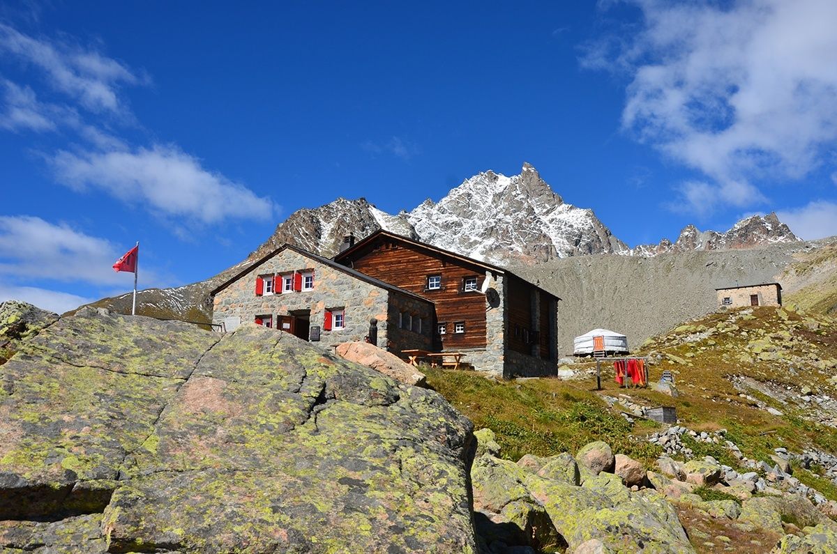
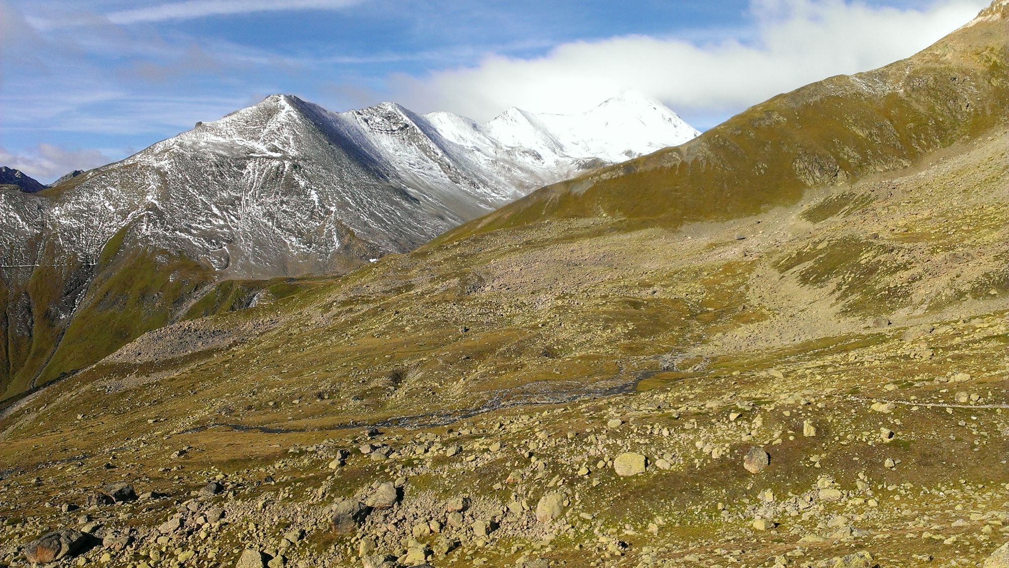
This challenging run leads you up to 2594 m above sea level, to the Chamanna d'Es-cha. The hut is located high above the Engadin with Piz Kesch in the background and a spectacular alpine panorama in front of you.
- Difficulty
-
difficult
- Rating
-
- Starting point
-
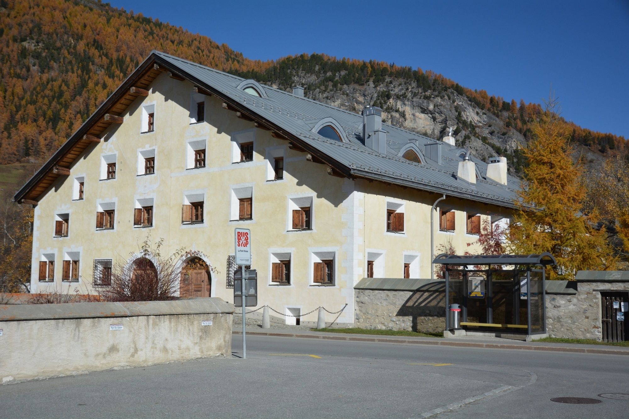
La Punt Tourist Information
- Route
-
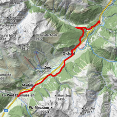
Foto-Spot La Punt0.2 kmAlbula0.3 kmBurdun0.4 kmLa Punt Chamues-ch (1,687 m)0.4 kmLa Punt0.5 kmChamanna d'Es-cha10.1 kmFuorcla Gualdauna (2,494 m)12.7 km
- Best season
-
JanFebMarAprMayJunJulAugSepOctNovDec
- Description
-
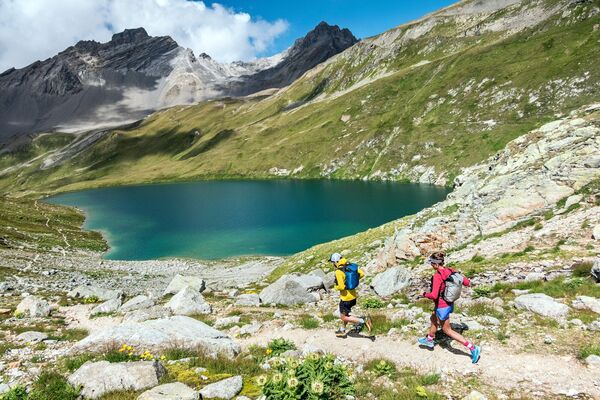
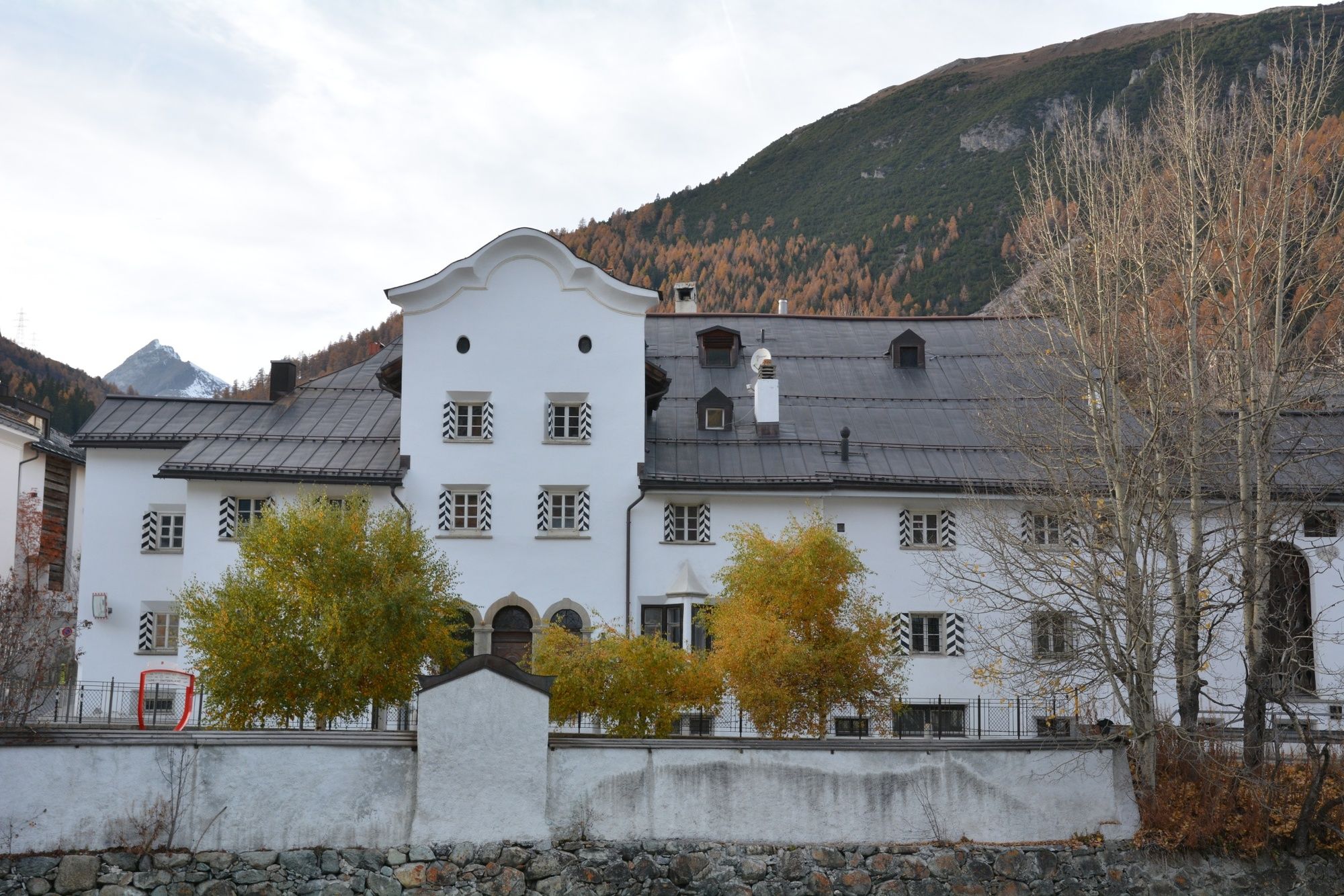
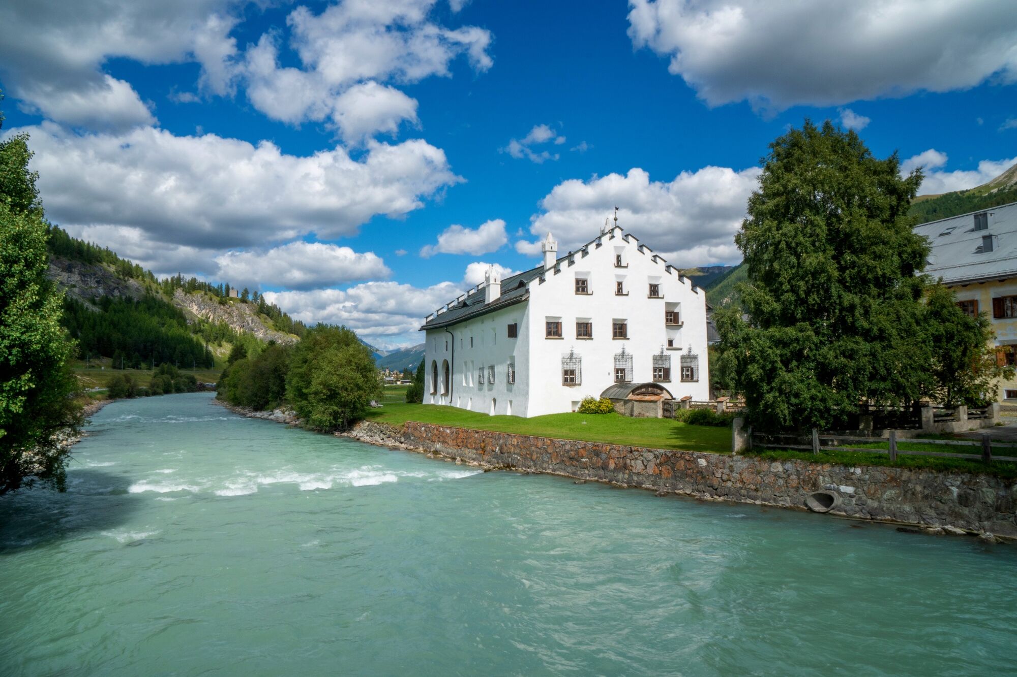
The trail run starts at the Tourist Information in La Punt, a village which is situated at the foot of the Albula pass and is home to grand patrician houses from the 16th and 17th centuries. After crossing the Inn and the main street, you follow the Albula road for the first 500 m. At the first bend, you turn left onto a path that runs along the Albula stream (Ova d'Alvra in Romansh). At the Alp Proliebas, you cross the pass road and take the hiking trail to the Alp Es-cha Dadour. This part of your journey to the Es-cha hut leads you through alpine pastures with a permanent view of Piz Kesch. However, don't forget to look back once in a while as you don't want to miss the great panorama of the whole Bernina range. After a well-deserved break at the hut, run across the easily passable traverse in the direction of the Albula pass. Attention: in early summer, there may still be snow in the area. After passing the Fuorcla Gualdauna, the path brings you down to the Albula pass road which you cross in order to make your way back to La Punt.
More information
Engadin Tourismus AG
Via Maistra 1
CH-7500 St. Moritz
Phone: +41 81 830 00 01
E-mail: allegra@engadin.ch
Internet: www.engadin.ch - Directions
-
La Punt Tourist Information - La Punt - Alp Proliebas - Sur Plaun Grand - Alp Es-cha Dadour - Chamanna d'Es-cha - Fuorcla Gualdauna - Alp Nova - La Punt - La Punt Tourist Information
- Highest point
- 2,590 m
- Endpoint
-
La Punt Tourist Information
- Height profile
-
 © outdooractive.com
 - Safety instructions
-
Until well into June, you should expect to find snow fields between the Chamanna d'Es-cha and the Fuorcla Gualdauna.
- Tips
-
The magnificent view alone is worth a break at the Es-cha hut.
- Public transportation
-
Take the Engadin Bus to La Punt Müsella
- Parking
-
parking spaces are available along the river Chamuera.
- Author
-
The tour Es-cha hut is used by outdooractive.com provided.


General info
-
Engadin St. Moritz
104
-
La Punt
46