- Brief description
-
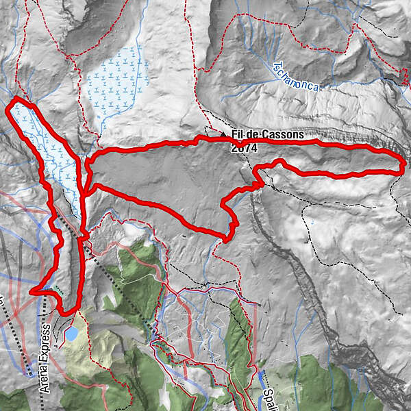
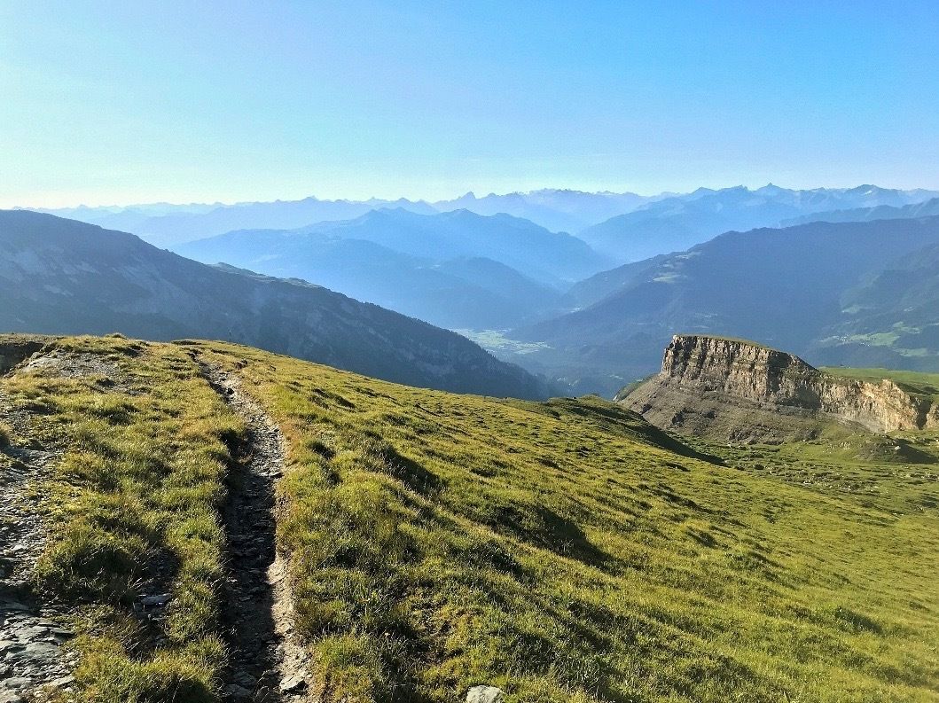
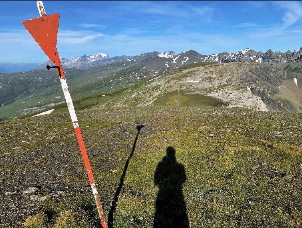
Explore the Cassons ridge with a unique view of the UNESCO Arena and the Rhine Gorge.
- Difficulty
-
difficult
- Rating
-
- Starting point
-
Mountain station Naraus
- Route
-
Segnas4.6 kmFil de Cassons (2,674 m)7.8 kmSegneshütte17.3 kmBerghaus Nagens19.1 km
- Best season
-
JanFebMarAprMayJunJulAugSepOctNovDec
- Description
-
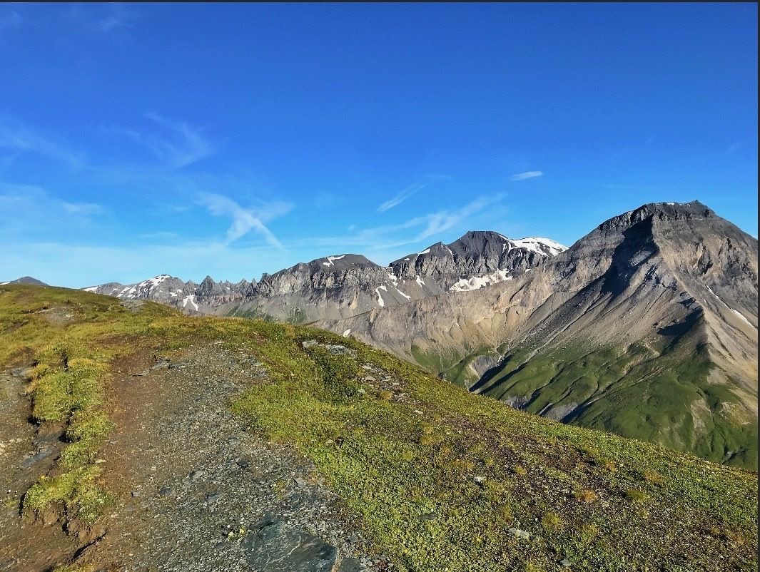
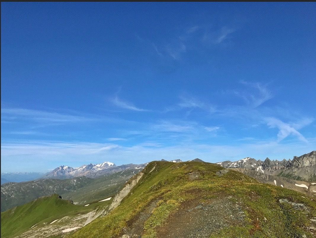
The panoramic-circuit The effort is easily forgotten on this tour. Beautiful paths and views in all directions.
Snowline map
While there may already be snow at higher altitudes, the paths in the valley are still snow-free. Our interactive snow depth map will help you plan your tour. Here you can see at a glance at www.flims.com/schneesituation where you can expect snow on the paths and trails and where you can still go without getting cold feet.
- Directions
-
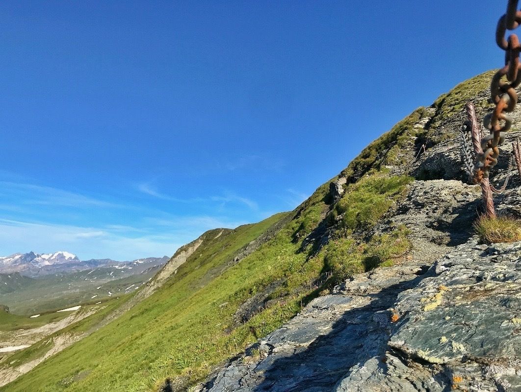
Start in Naraus - immediately starting on the Panarama path towards the Segenes hut - on reaching the lower Segenesboden, right up to the Fil de Cassons - all over its ridge to the east - arrived at the end shortly down - first possible path (Pt. 2531m.a.s.l) to the right back to the west aiming at the old Cassons station - shortly before the old Cassons station at (Pt. 2552m.a.s.l) it goes down left to Pt. 2516m.a.s.l - after this point to the right, steeply down and back to Naraus.
- Highest point
- 2,691 m
- Endpoint
-
Mountain station Naraus
- Height profile
-
 © outdooractive.com
 - Equipment
-
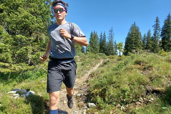
The right trail running shoes, a hydration pack, rain jacket, first aid kit.
- Safety instructions
-
Surefootedness required on the steep path down from the Cassons.
- Additional information
- Author
-
The tour Viva La Cassons is used by outdooractive.com provided.


General info
-
Glarnerland
88
-
Flims Laax Falera
85
-
Elm
21