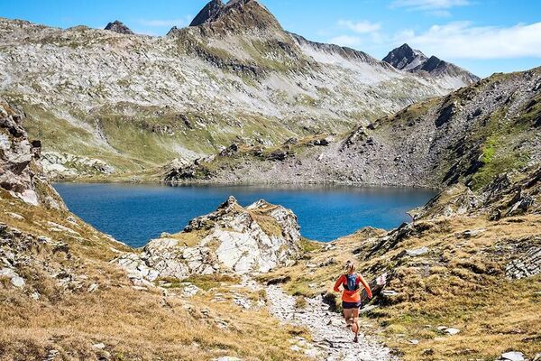
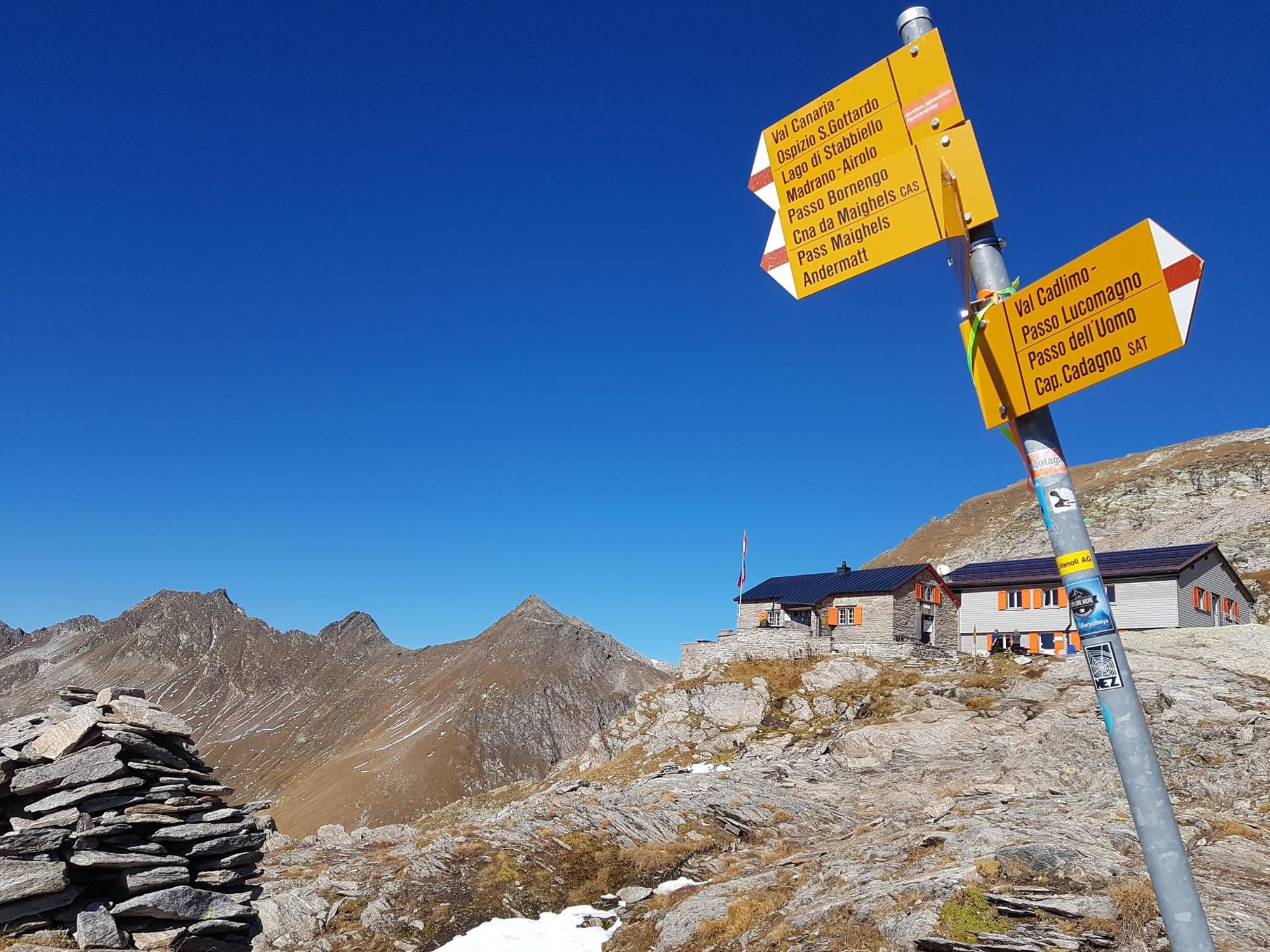
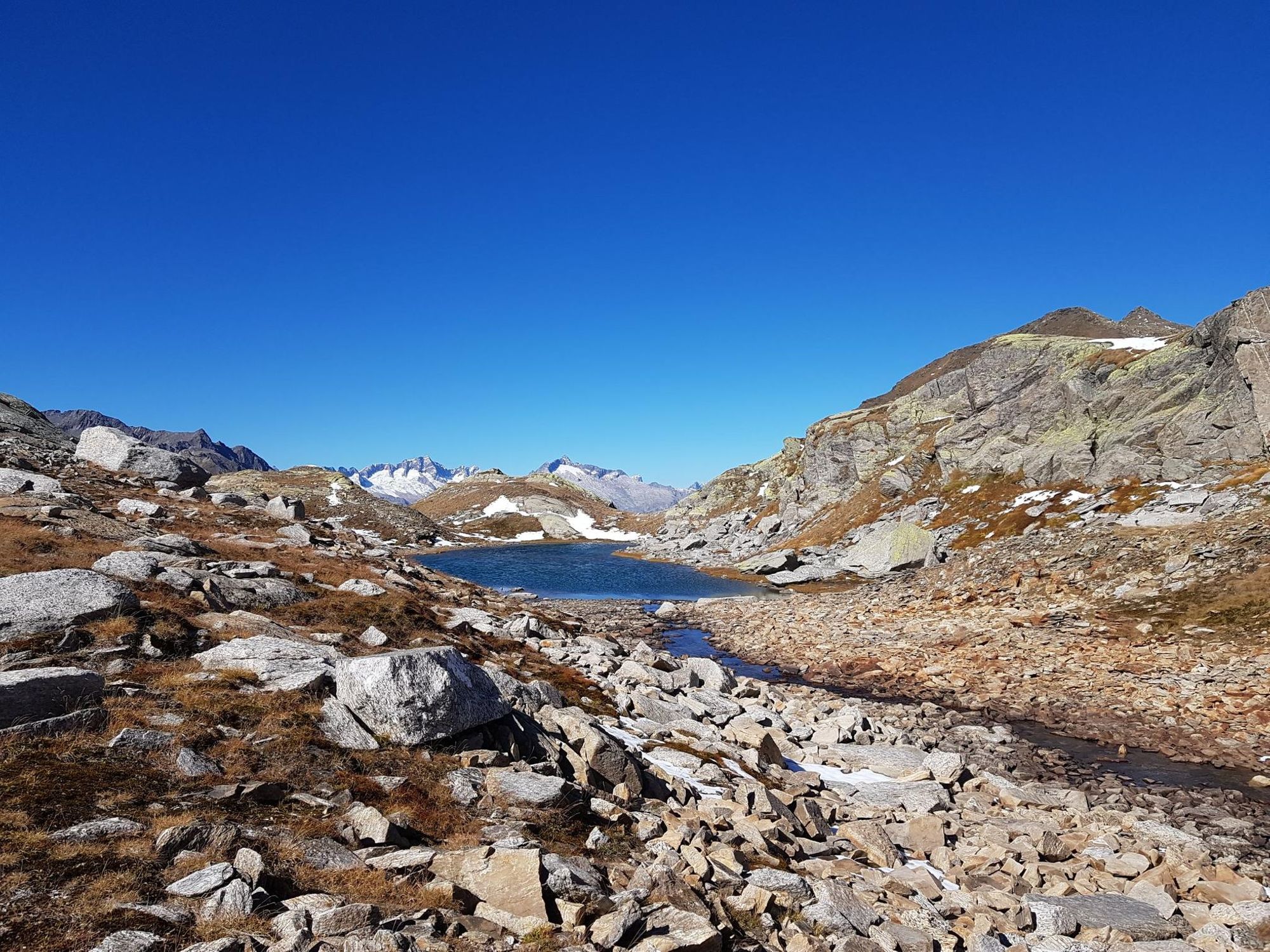
© Sedrun Disentis Tourismus - Stefan Schwenke

© Sedrun Disentis Tourismus - Stefan Schwenke

© Sedrun Disentis Tourismus - Stefan Schwenke

© Sedrun Disentis Tourismus - Stefan Schwenke
- Brief description
-
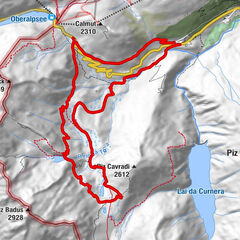
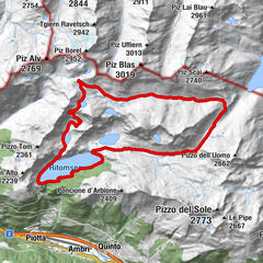
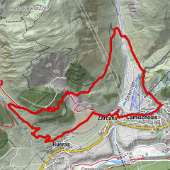
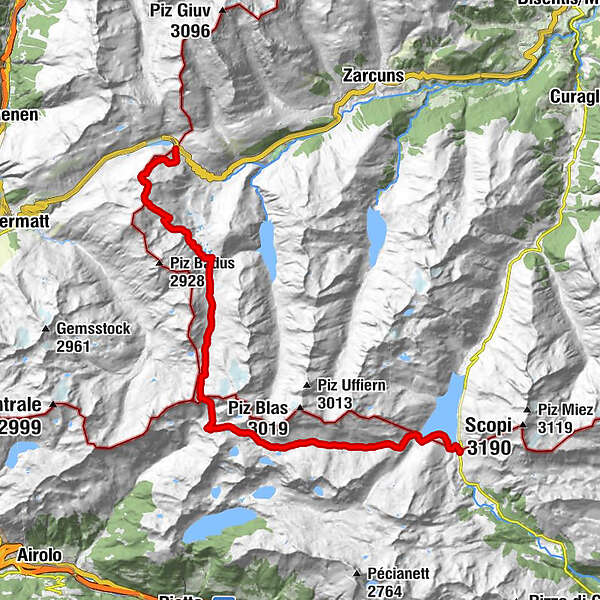
Traumstrecke von Pass zu Pass: Vom Lukmanier bis zum Oberalp
- Difficulty
-
difficult
- Rating
-
- Route
-
Hospezi S. Maria0.1 kmBocchetta di Cadlimo (2,534 m)10.2 kmBadushütte SAC Manegg21.2 kmPazolastock (2,739 m)23.0 km
- Best season
-
JanFebMarAprMayJunJulAugSepOctNovDec
- Highest point
- 2,733 m
- Endpoint
-
Oberalp Passhöhe
- Height profile
-
 © outdooractive.com


-

-
AuthorThe tour Bornengo - Trail is used by outdooractive.com provided.
GPS Downloads


General info
Refreshment stop
A lot of view
Other tours in the regions
-
Uri
42
-
Ritom - Piora
18
-
Tujetsch
14