© Stefan Schwenke

© Sedrun Disentis Tourismus - Heidi Meier
© Sedrun Disentis Tourismus - Heidi Meier
© Sedrun Disentis Tourismus - Heidi Meier

© Sedrun Disentis Tourismus - Heidi Meier

© Sedrun Disentis Tourismus - Heidi Meier
© Sedrun Disentis Tourismus - Heidi Meier
© Stefan Schwenke

© Sedrun Disentis Tourismus - Heidi Meier
© Sedrun Disentis Tourismus - Heidi Meier

- Brief description
-
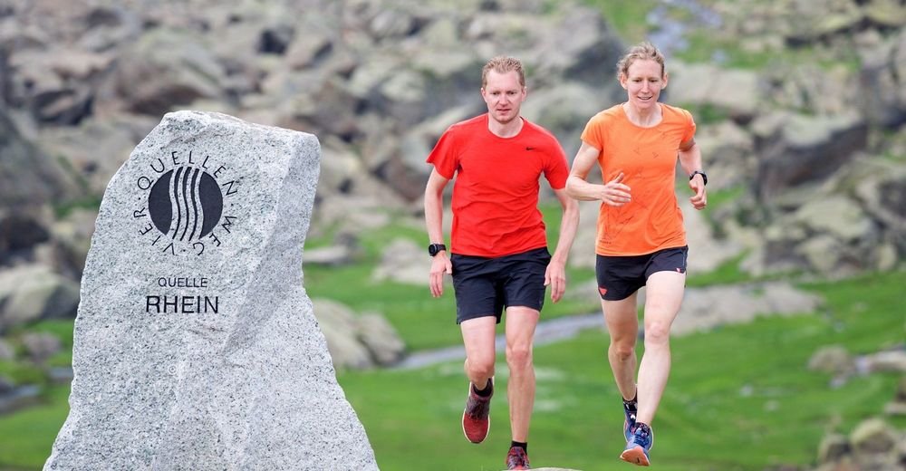
Sport mit Kulinarik in der Rheinquellregion.
- Difficulty
-
medium
- Rating
-
- Route
-
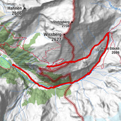
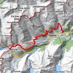
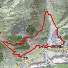
TschamutMaighels-Hütte SAC (2,309 m)6.2 km
- Best season
-
JanFebMarAprMayJunJulAugSepOctNovDec
- Highest point
- 2,382 m
- Endpoint
-
Tschamut
- Height profile
-
 © outdooractive.com


-

-
AuthorThe tour Tomasee - Trail is used by outdooractive.com provided.
GPS Downloads


General info
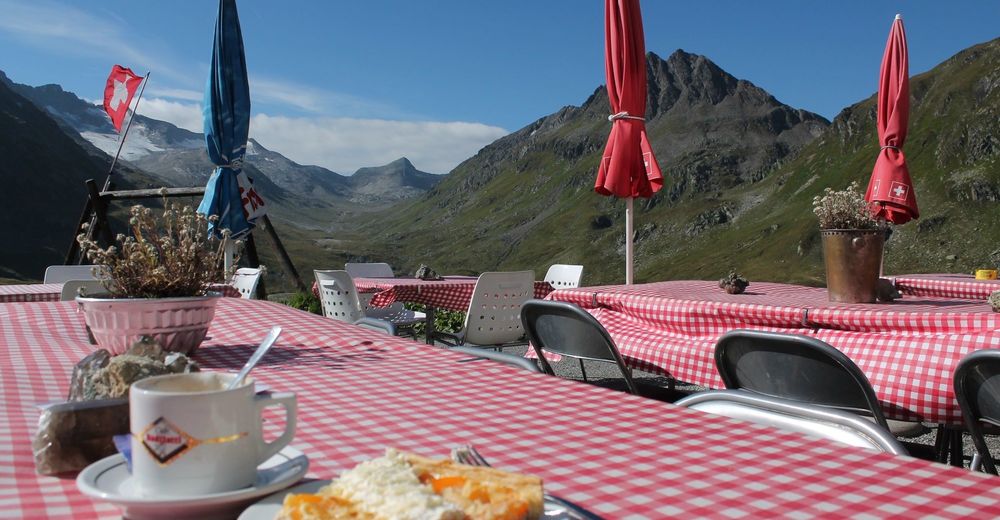
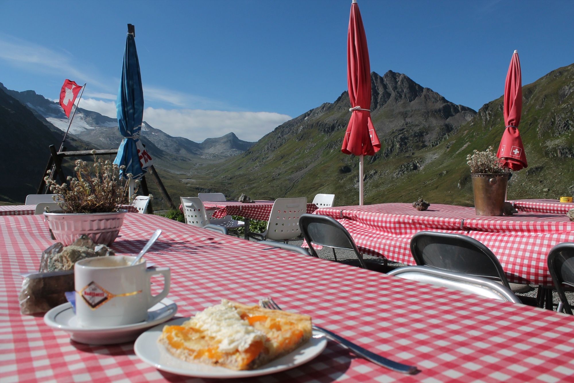
Refreshment stop
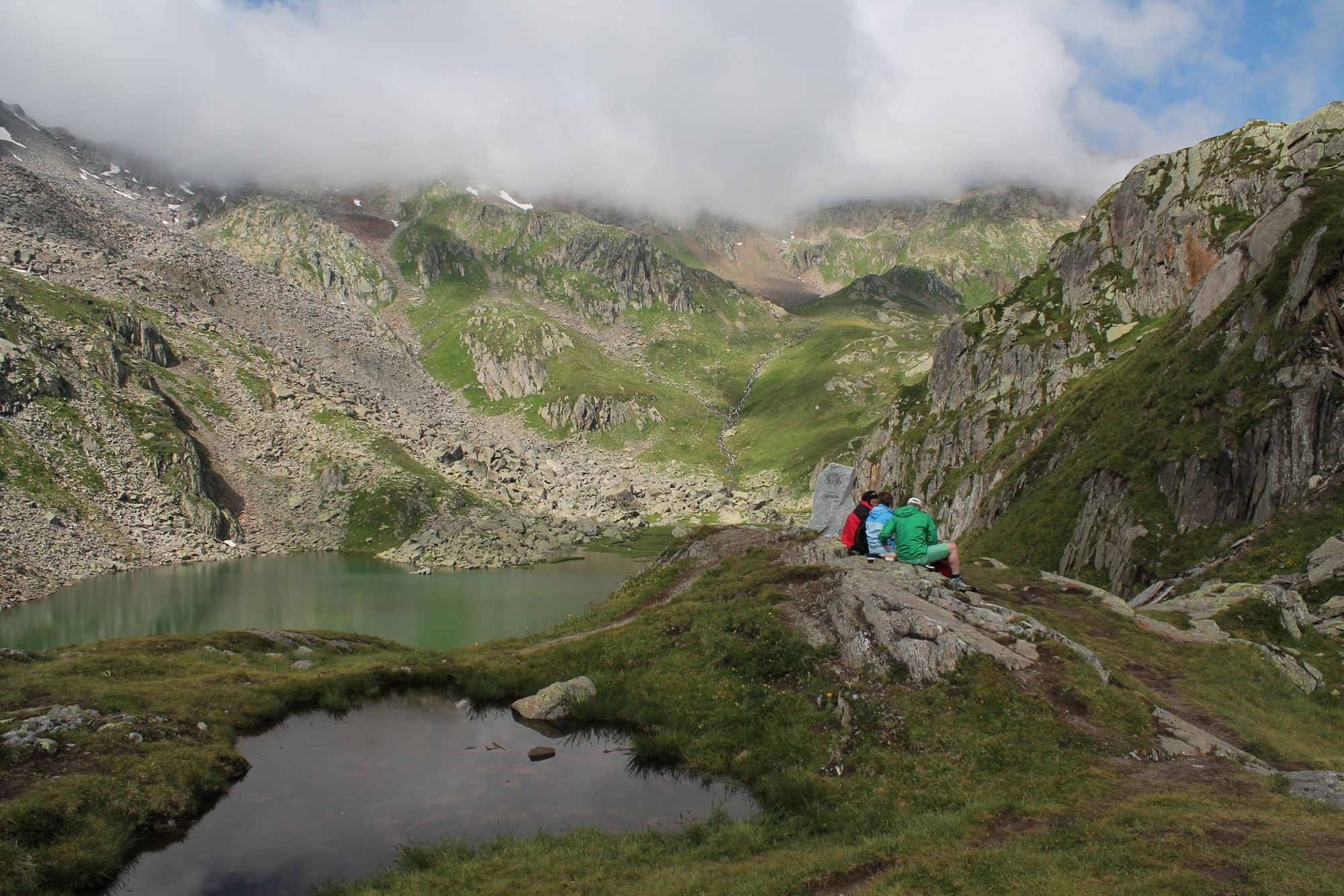
A lot of view