© Engadin Tourismus AG - Chatrigna Signorell


© Engadin Tourismus AG - Chatrigna Signorell

© Engadin Tourismus AG - Chatrigna Signorell


© Engadin Tourismus AG - Chatrigna Signorell

© Engadin Tourismus AG - Chatrigna Signorell

© Silvaplana Tourismus - Daniel Brülisauer


© Engadin Tourismus AG - Silvan Caderas

- Brief description
-
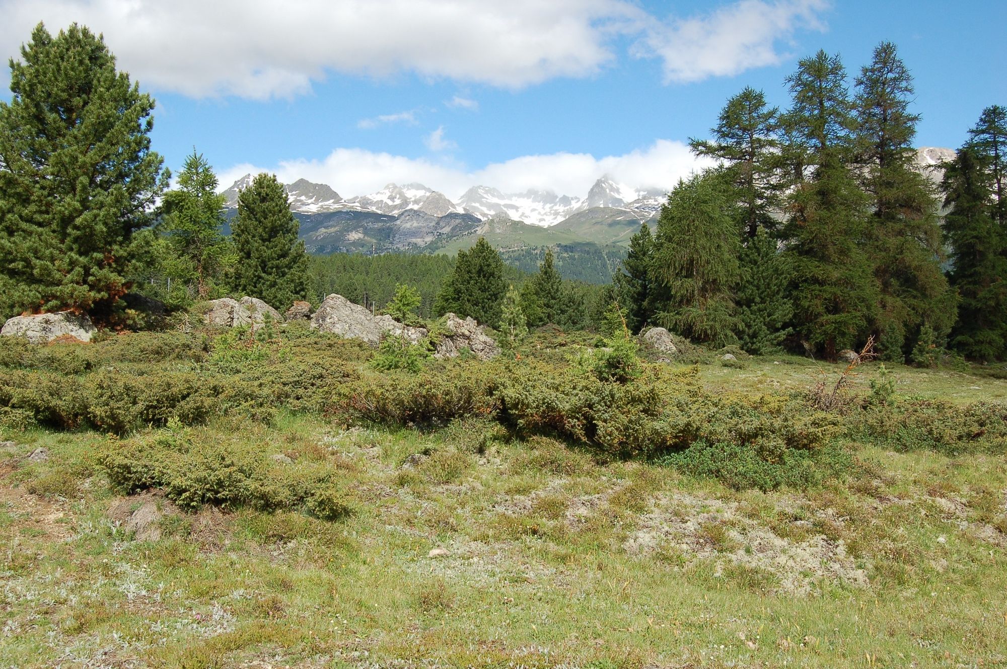
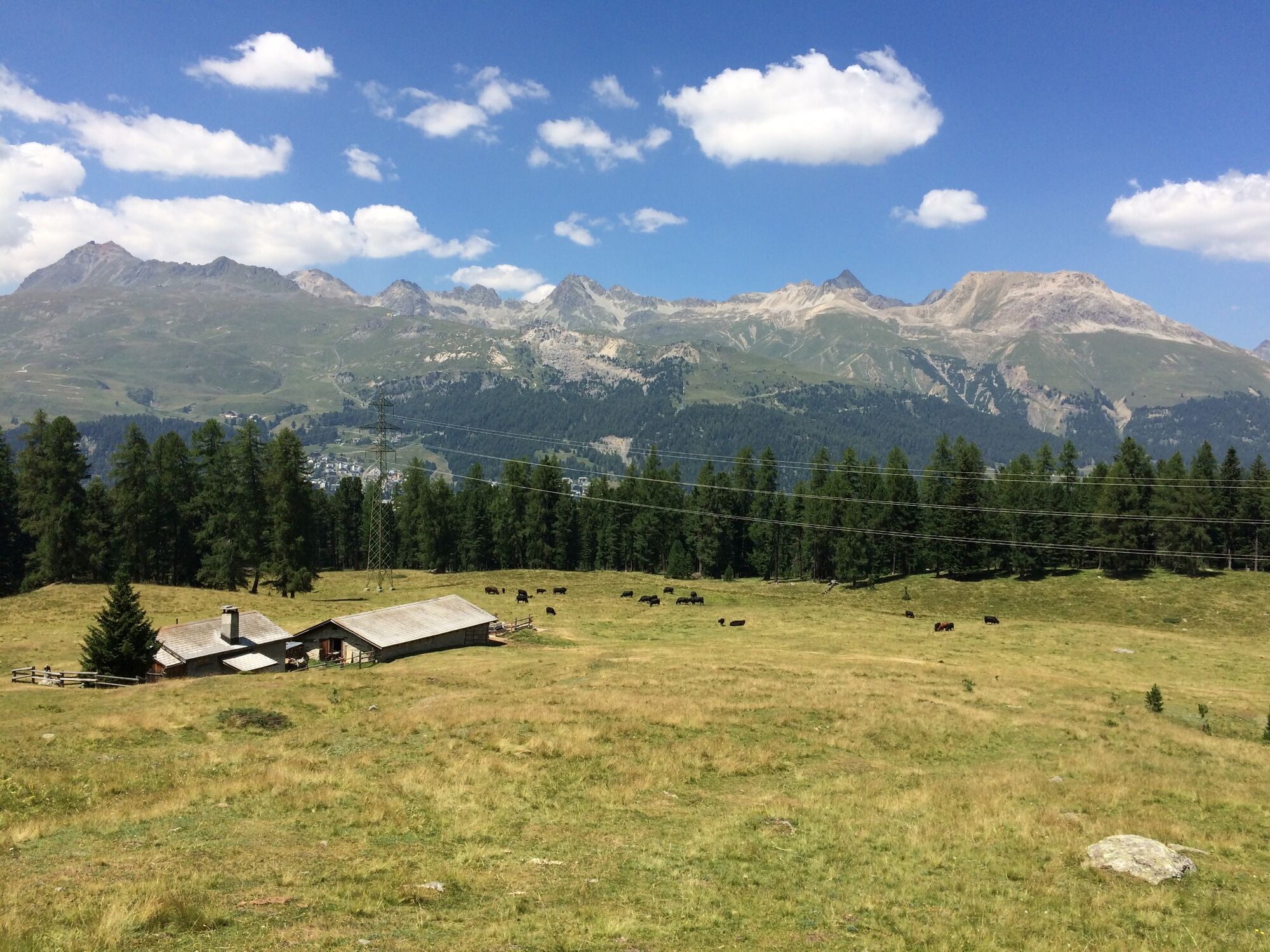
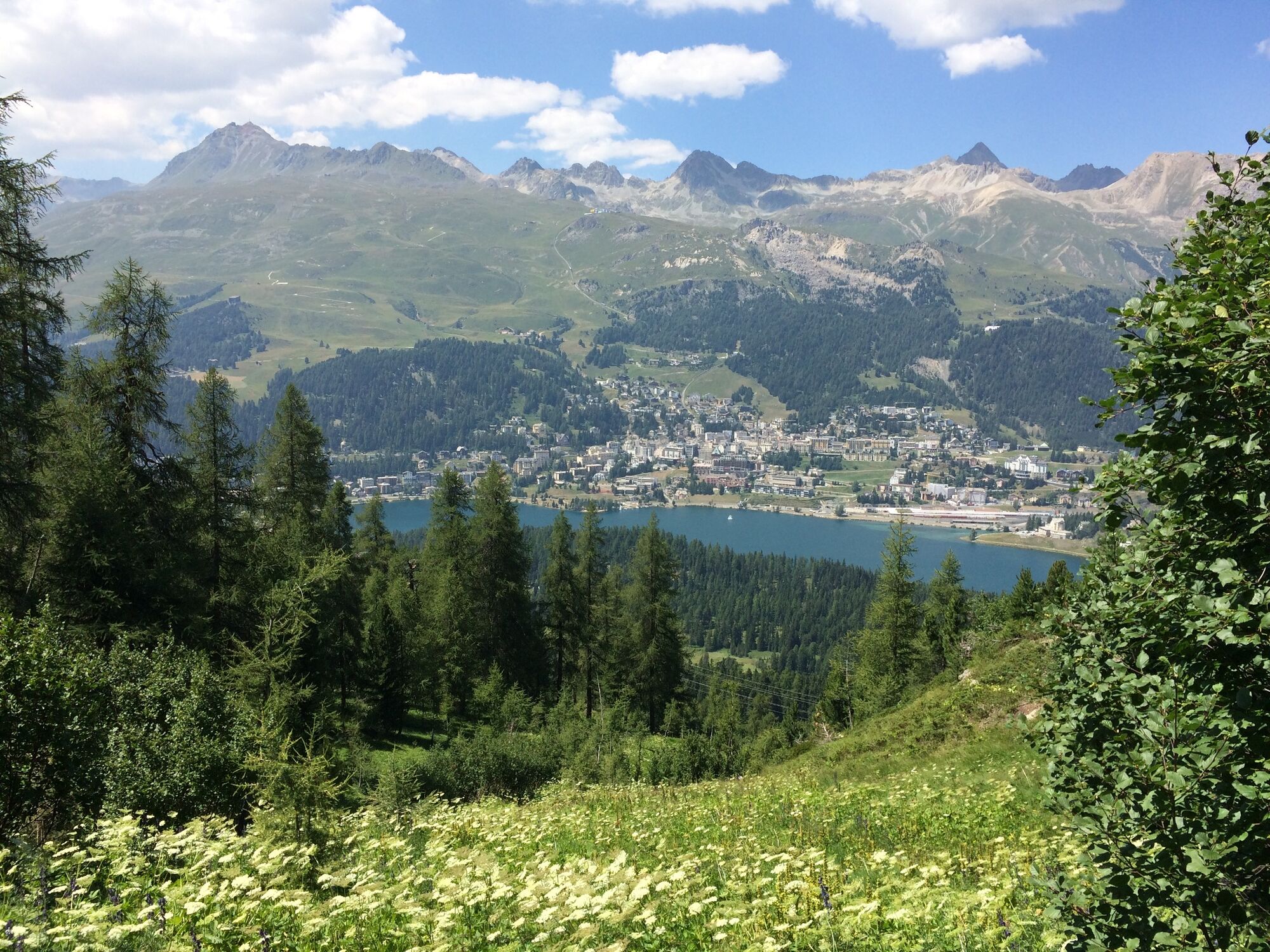
The area from Lej da Staz to Lej Marsch is a large moor area.
- Difficulty
-
medium
- Rating
-
- Starting point
-
Ovaverva pool & spa, St. Moritz
- Route
-
Hahnensee9.2 km
- Best season
-
JanFebMarAprMayJunJulAugSepOctNovDec
- Description
-
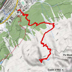
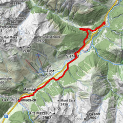
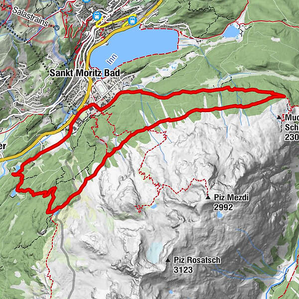
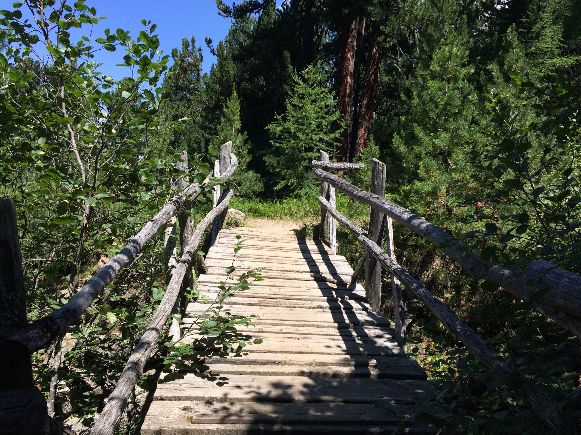
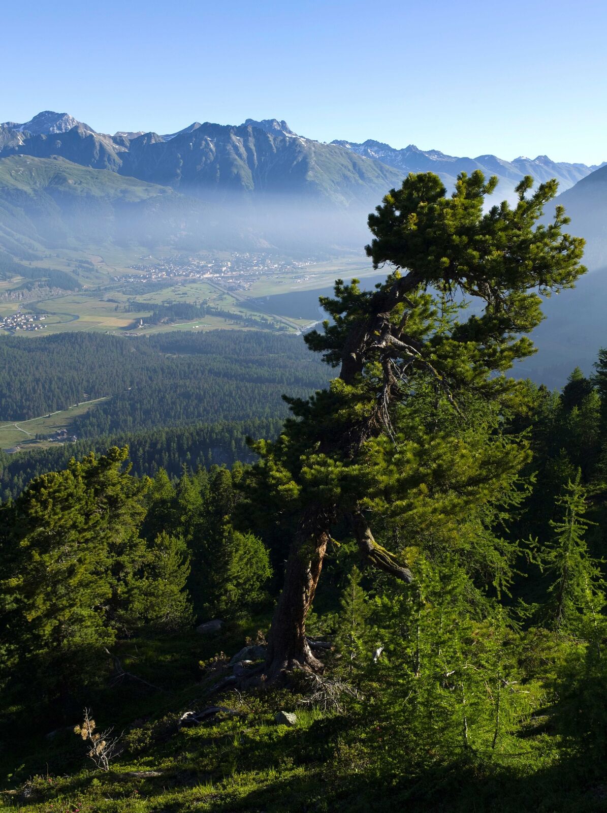
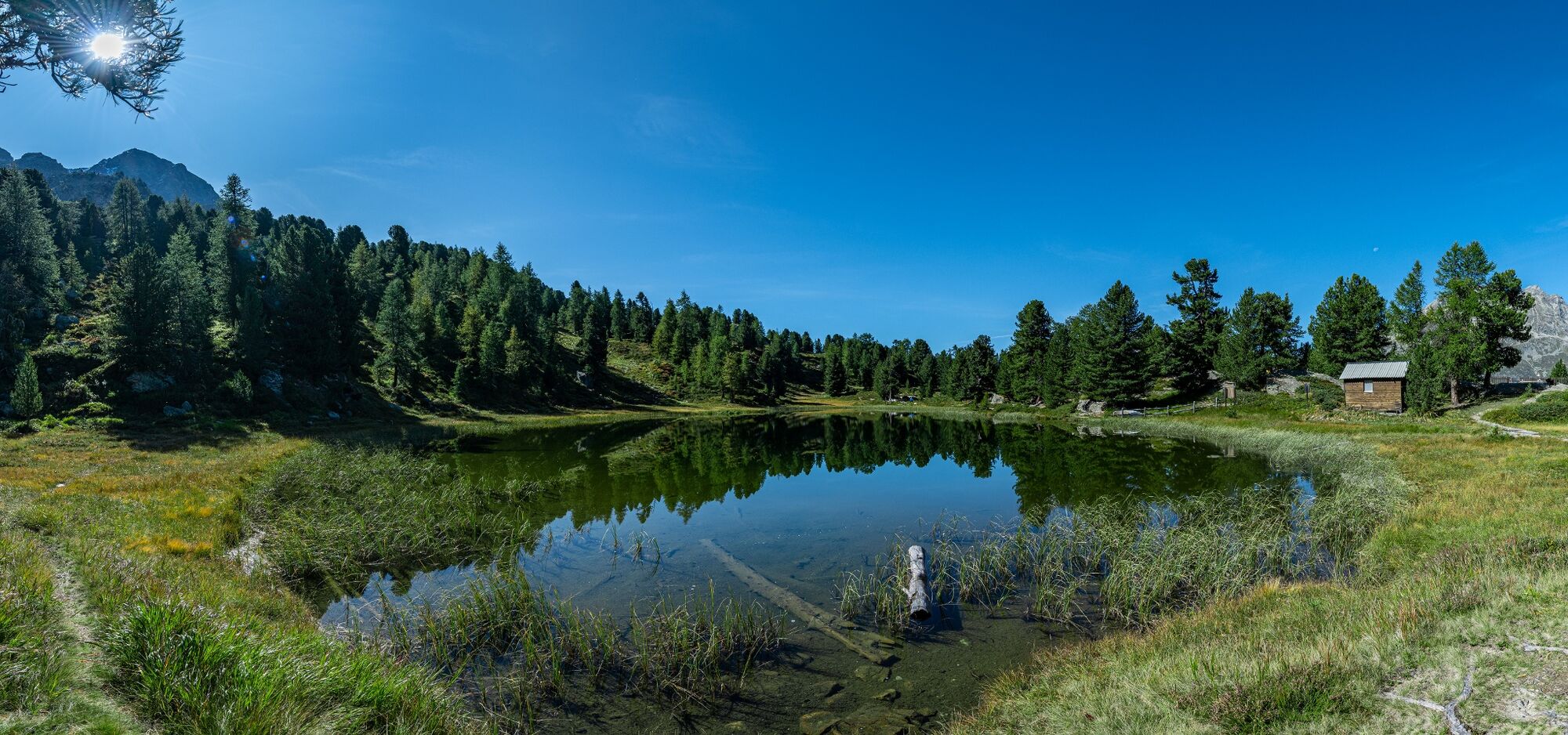
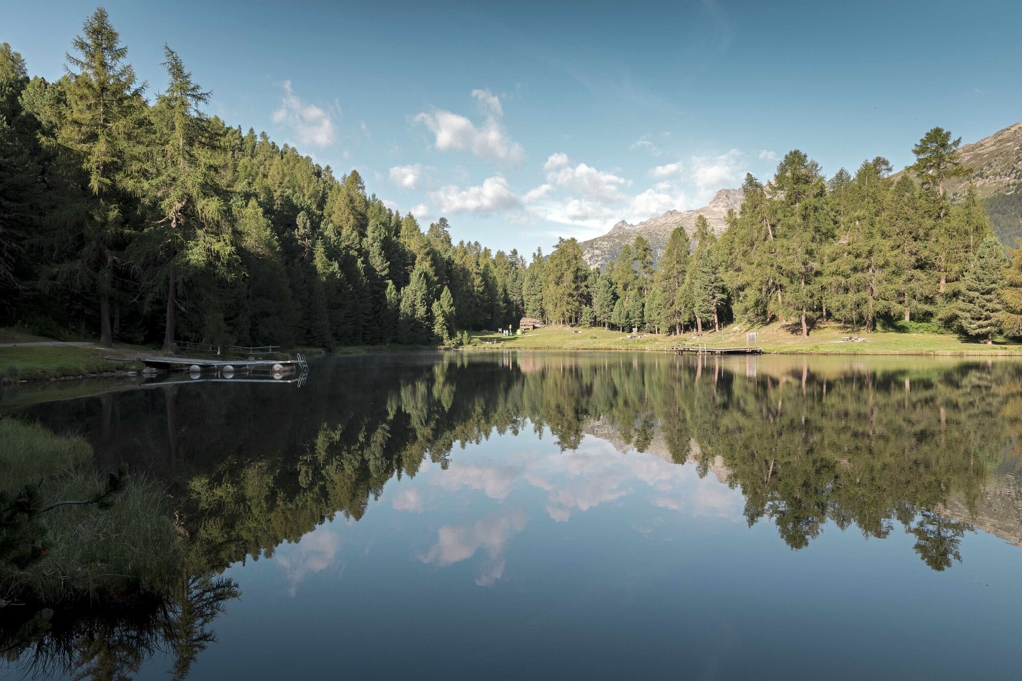
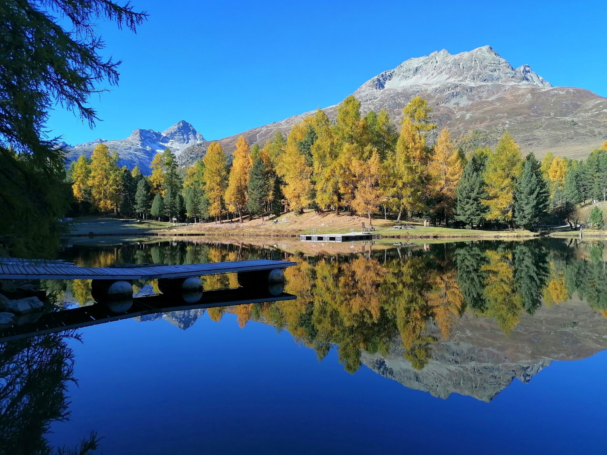
The route starts behind Club Med (or Ovaverva indoor swimming pool) in St. Moritz Bad and leads first on forest paths and then along single trails in the forest up to the Alp Staz. Here you can briefly enjoy the beautiful views over St. Moritz and the Corviglia before continuing along beautiful trails through the forest up to the “Muottas Schlarigna” turn-off. Here you turn right and already find yourself on another trail that leads over gently undulating terrain towards the Hahnensee. Here it is worth taking a break before heading via wonderful trails down towards the Lej Nair. At this picturesque lake, you can take a dip or continue down towards the Lej Marsch. From this moor lake, the trail leads via the campsite back to the starting point at the Ovaverva swimming pool.
More information
Engadin Tourismus AG
Via Maistra 1
CH-7500 St. Moritz
Phone: +41 81 830 00 01
E-mail: allegra@engadin.ch
Internet: www.engadin.ch - Directions
-
Ovaverva pool & spa St. Moritz - Alp Staz - Muottas da Schlarigna - Hahnensee - Lej Nair - Lej Marsch - Ovaverva pool & spa St. Moritz
- Highest point
- 2,197 m
- Endpoint
-
Ovaverva pool & spa, St. Moritz
- Height profile
-
 © outdooractive.com
 - Tips
-
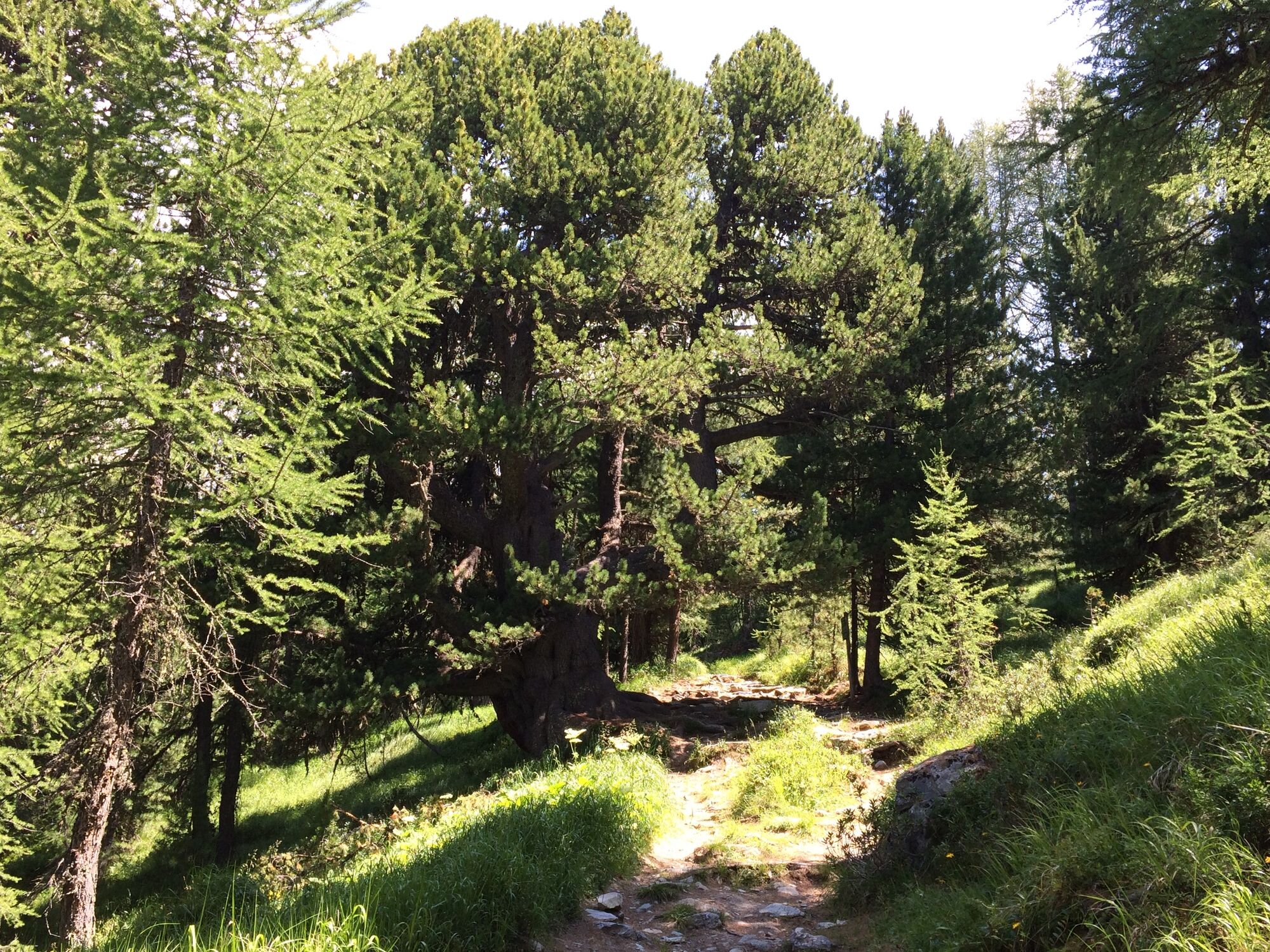
Just before you come to the crossroads at Muottas da Schlarigna, there is an over 1000 year old Swiss stone pine on your left.

- Author
-
The tour Moor lakes of St. Moritz is used by outdooractive.com provided.
GPS Downloads


General info
Refreshment stop
Flora
A lot of view
Other tours in the regions
-
Veltlin / Valtellina
76
-
Engadin St. Moritz
104
-
Corviglia
62