© Chur - Die Alpenstadt - Michael Christ
© Chur - Die Alpenstadt - Michael Christ
© Chur - Die Alpenstadt - Michael Christ

© Chur - Die Alpenstadt - Michael Christ

© Chur - Die Alpenstadt - Michael Christ
© Chur - Die Alpenstadt - Michael Christ

© Chur - Die Alpenstadt - Michael Christ

© Chur - Die Alpenstadt - Michael Christ
© Chur - Die Alpenstadt - Michael Christ
© Chur - Die Alpenstadt - Michael Christ

- Brief description
-
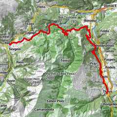
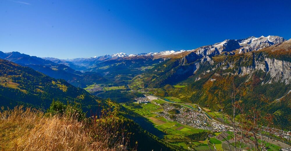
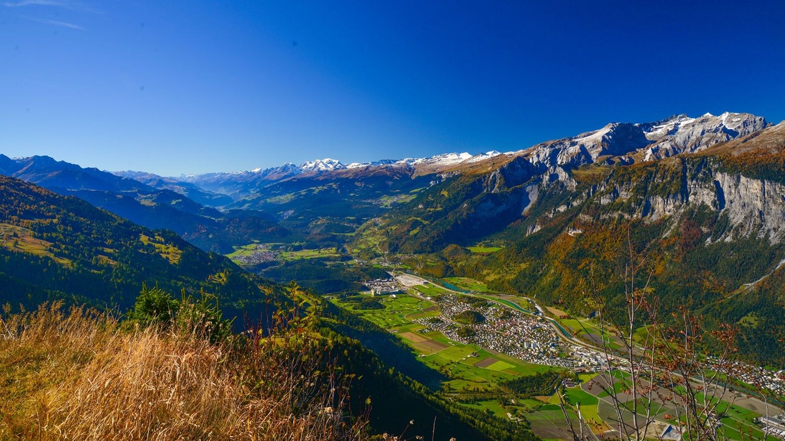
The Long Trail LANGA connects the two trails UFFA and OBA and is aimed at 28.2 km and 2,140 vertical meters to complete and well-trained, persevering runners.
- Difficulty
-
difficult
- Rating
-
- Route
-
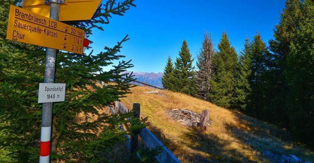
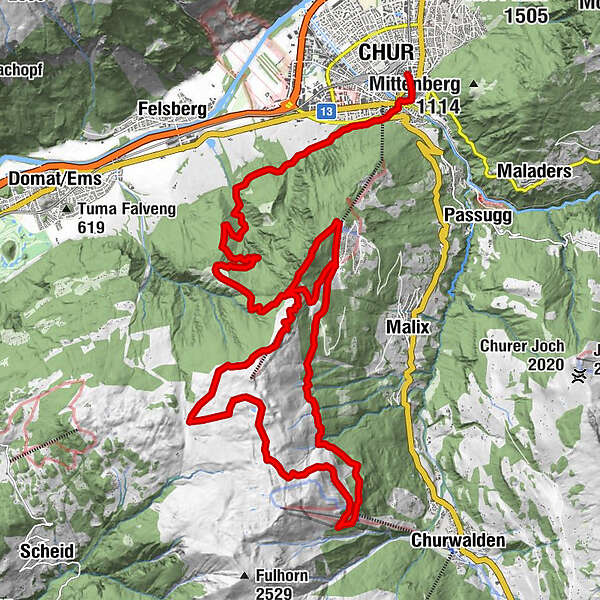
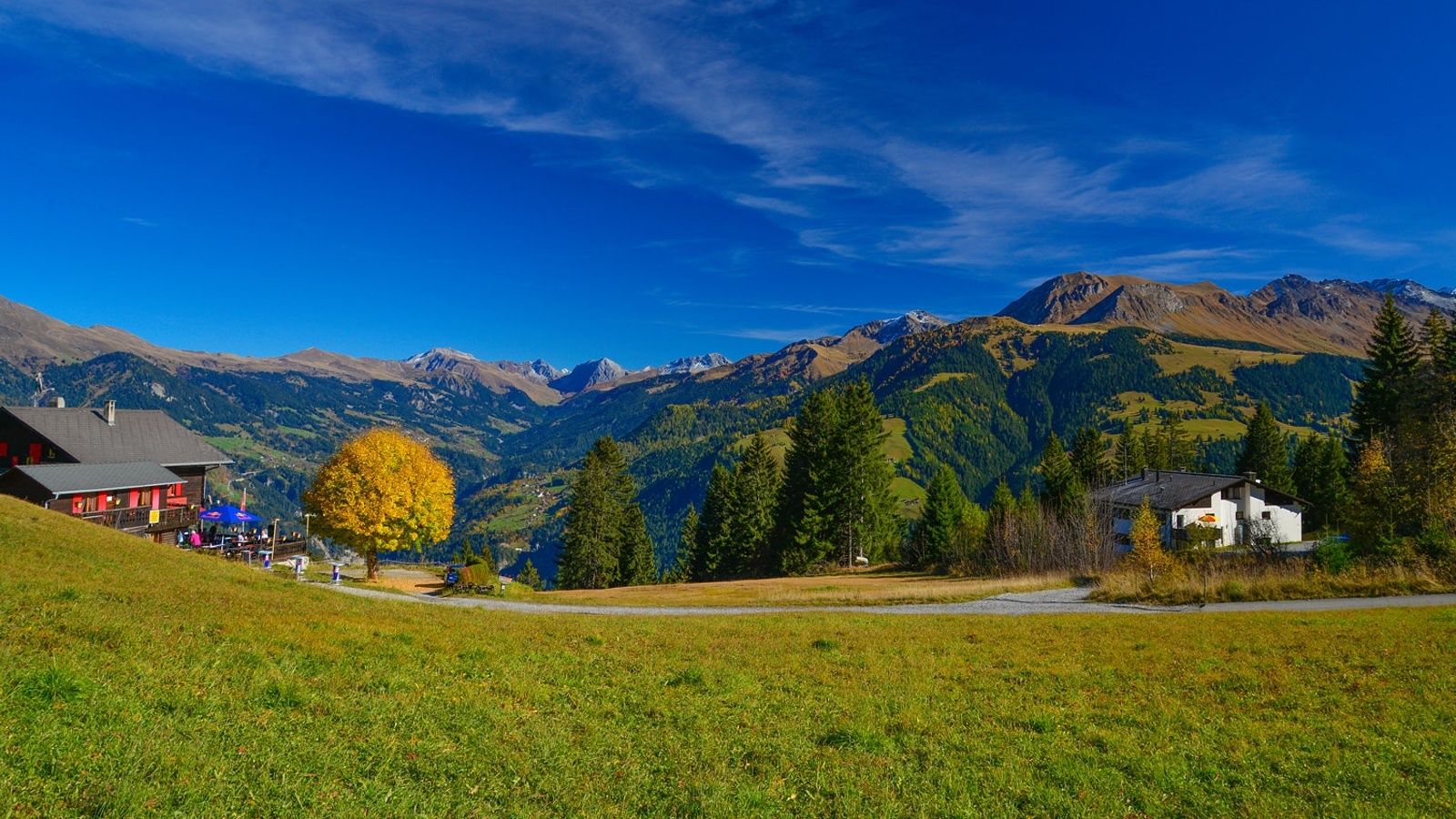
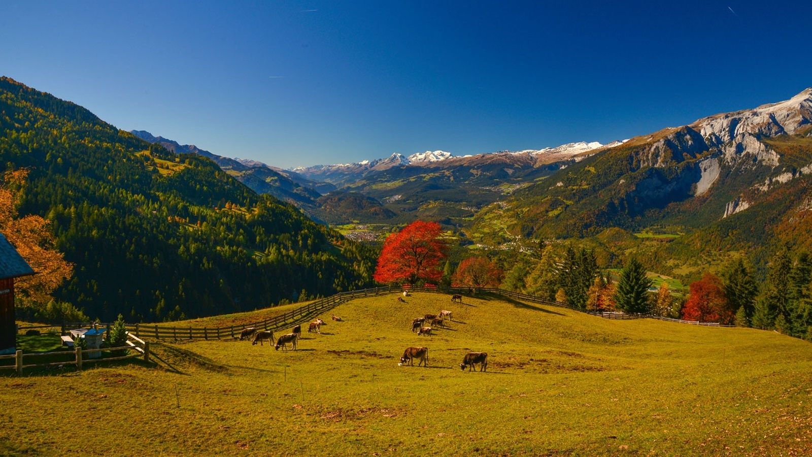
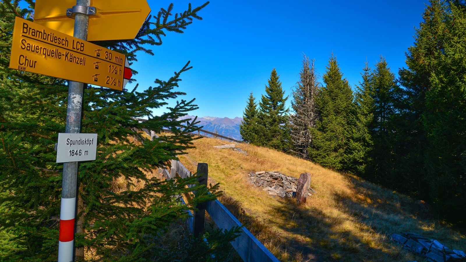
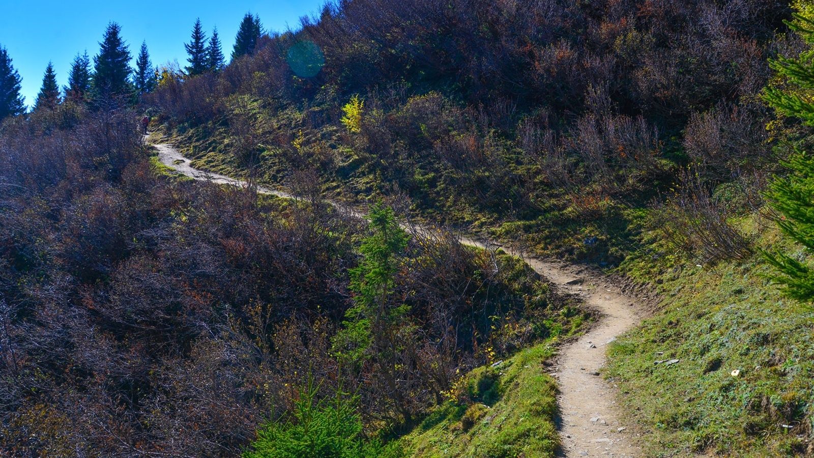
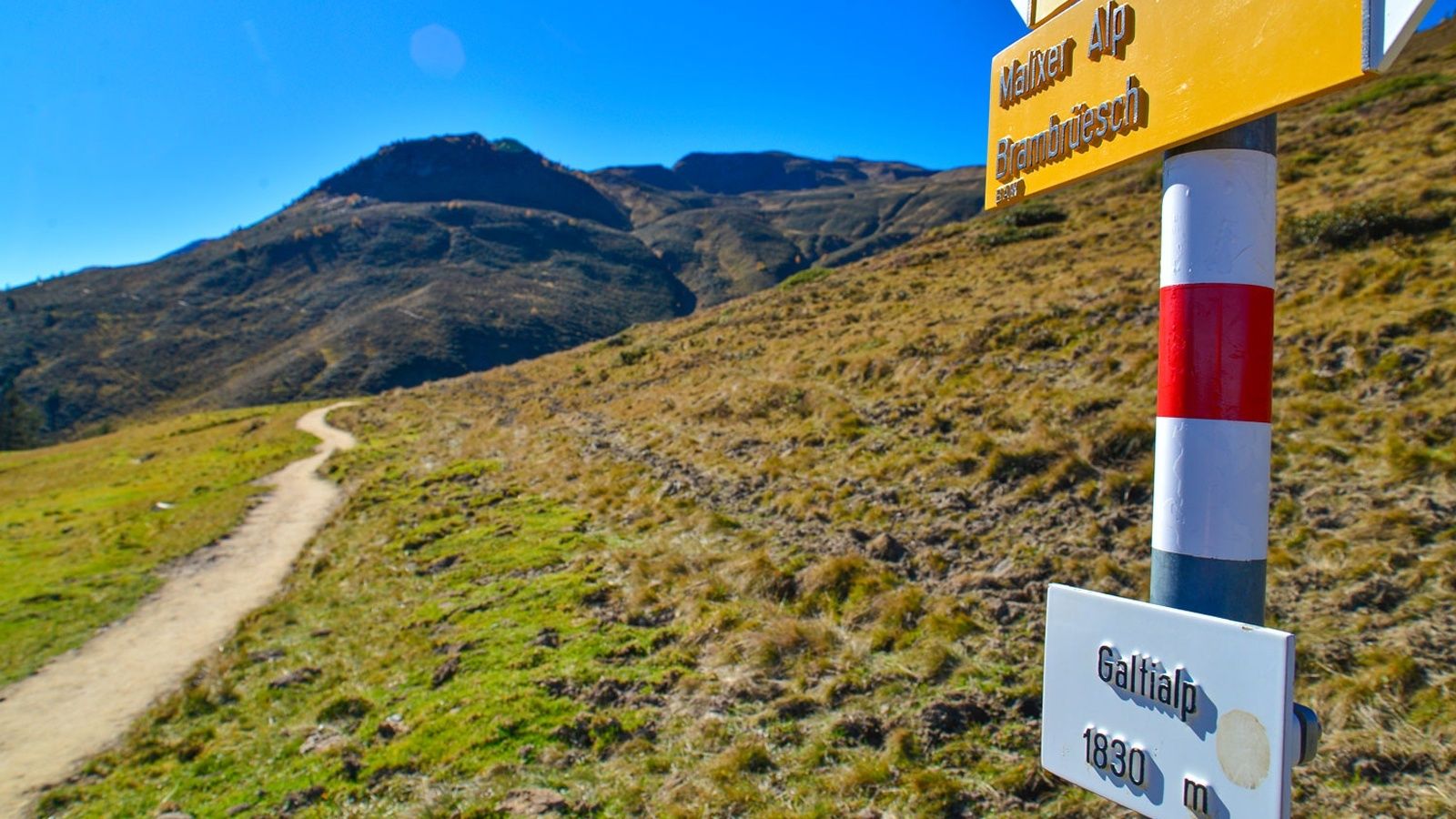
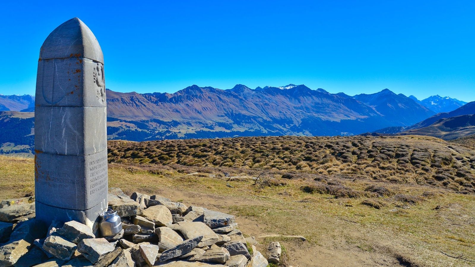
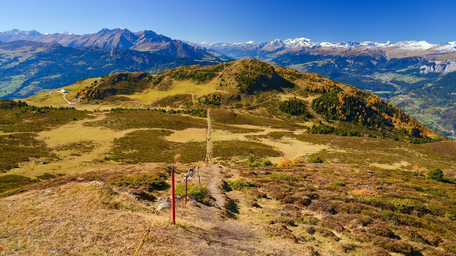
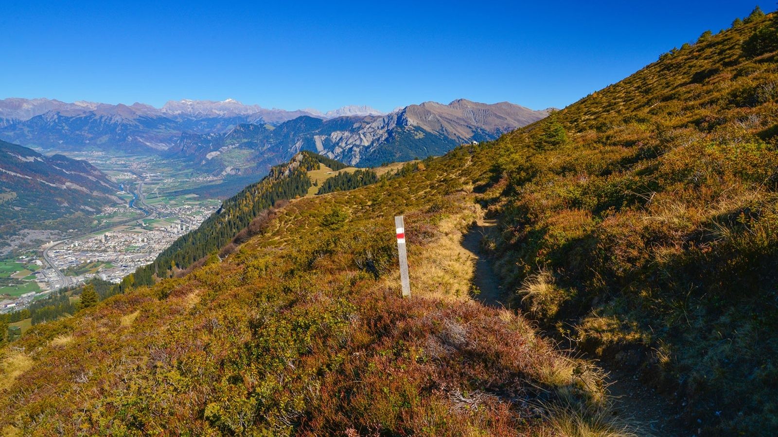
Chur (593 m)Martinskirche0.2 kmFriedenskirche0.7 kmRosenhhügel0.9 kmKornquader1.5 kmGiufs (1,378 m)7.9 kmBerghaus Juchs7.9 kmSpundisköpfe10.5 kmChur (593 m)11.5 kmBrambrüesch11.8 kmberg.baiz11.8 kmEdelweishütte13.2 kmBergrestaurant Pradaschier (1,814 m)17.5 kmDreibündenstein (2,160 m)21.3 kmberg.baiz28.0 km
- Best season
-
JanFebMarAprMayJunJulAugSepOctNovDec
- Description
-
Further information on the two individual trails can be found on the separate tours:
Uphill Trail UFFA
Panorama Trail OBA - Highest point
- 2,158 m
- Endpoint
-
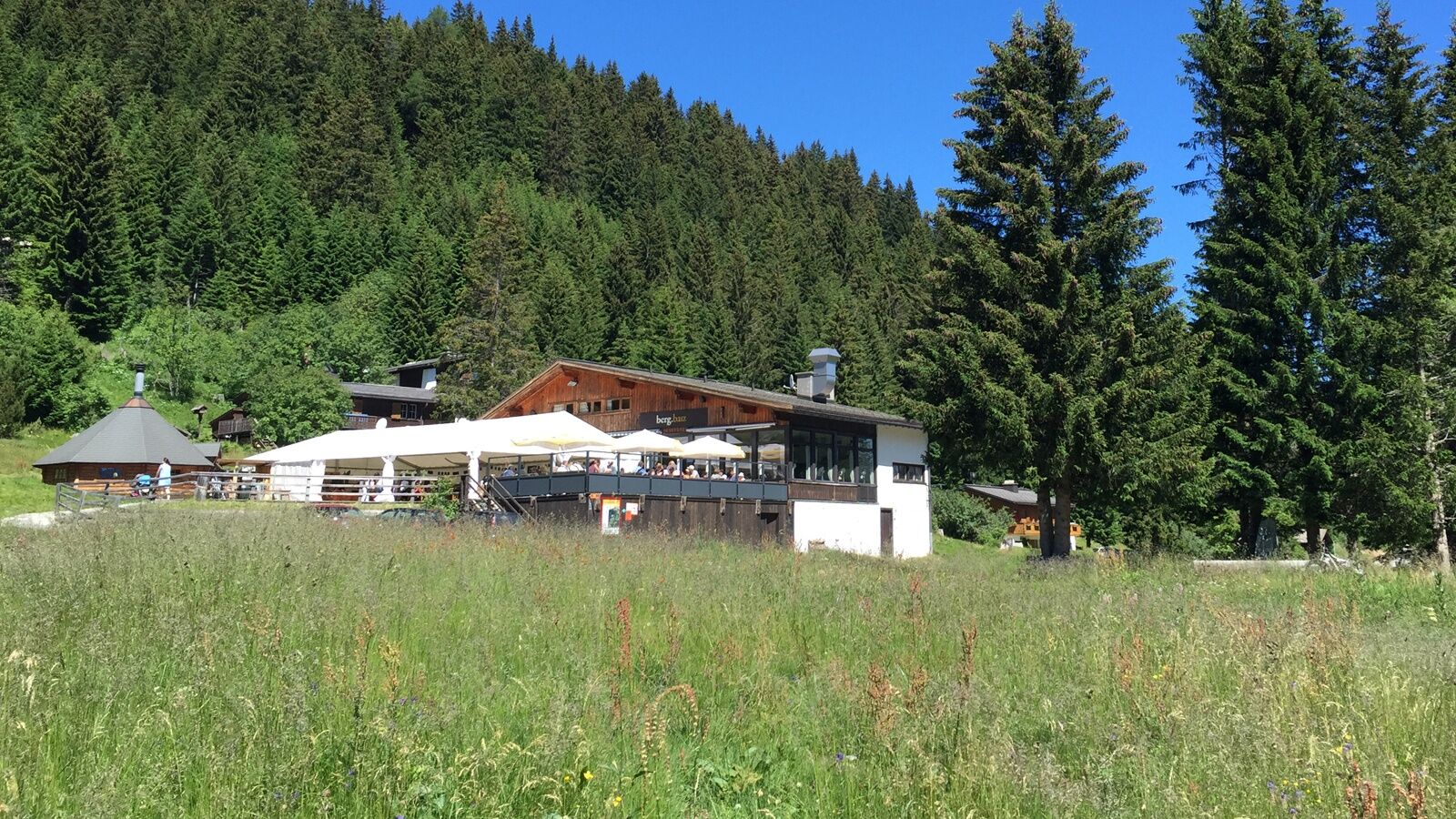
VIVA berg.baiz, Brambrüesch
- Height profile
-
 © outdooractive.com
 - Additional information
-
This trail is one of four trail running routes at Churer Hausberg Brambrüesch, which together form the trail network for the event "Trail Run Chur". Thanks to the Chur Bergbahnen Brambrüesch is an ideal area for trail running with mountain railway up or down. www.trailrunchur.ch www.churbergbahnen.ch


-

-
AuthorThe tour Trailrun LANGA is used by outdooractive.com provided.
GPS Downloads


General info
Refreshment stop
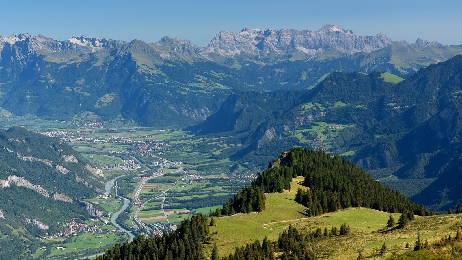
A lot of view
Other tours in the regions
-
Heidiland
104
-
Chur und Rheintal
111
-
Chur - Brambrüesch
40