


- Brief description
-
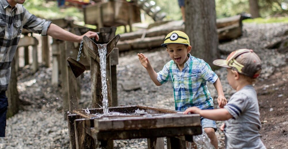
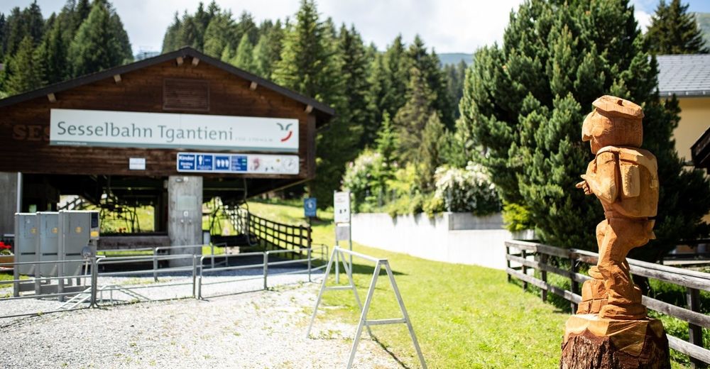
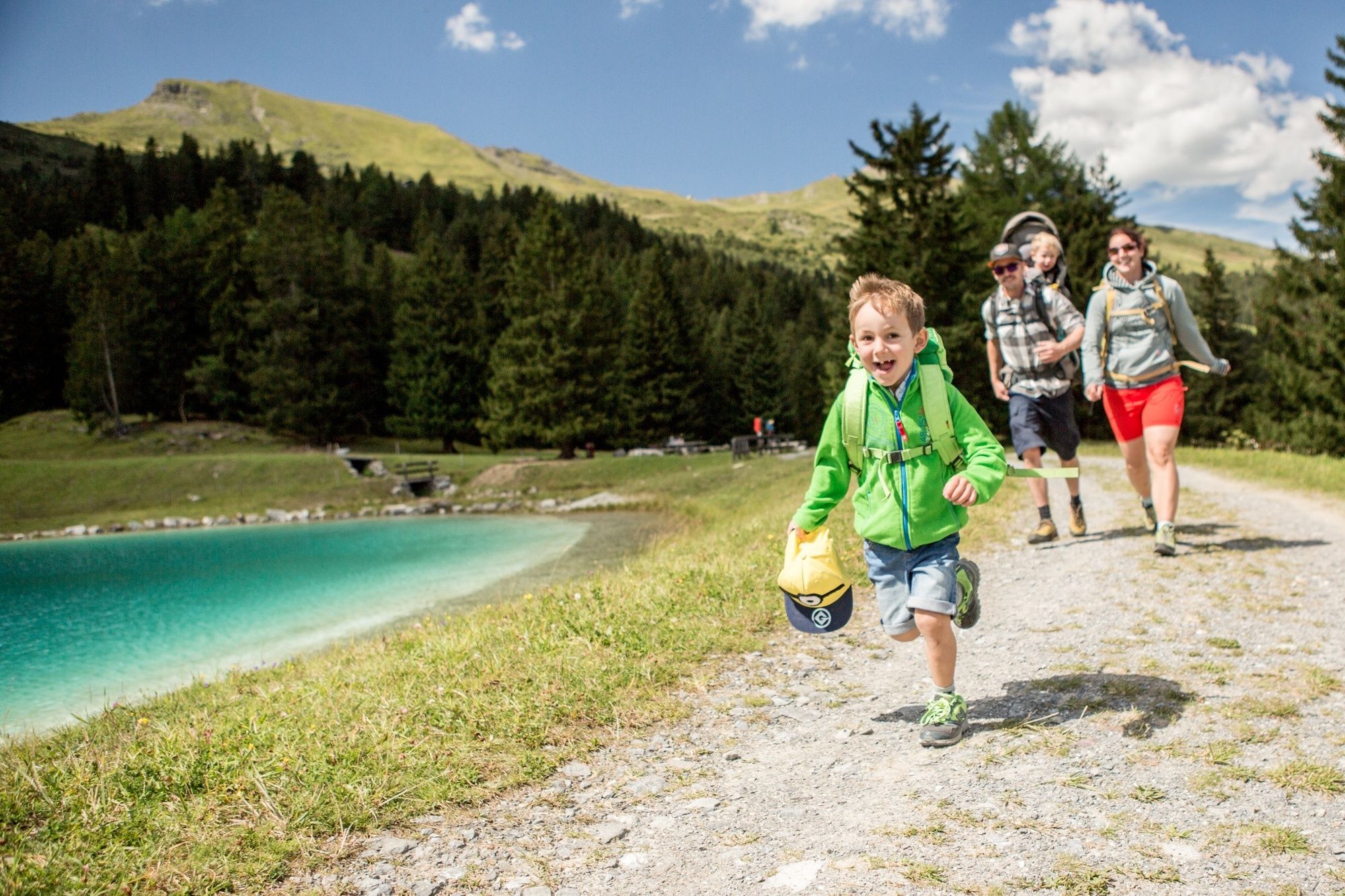
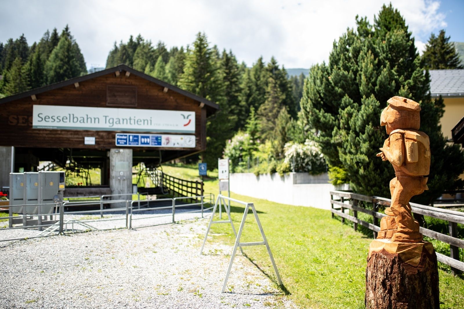
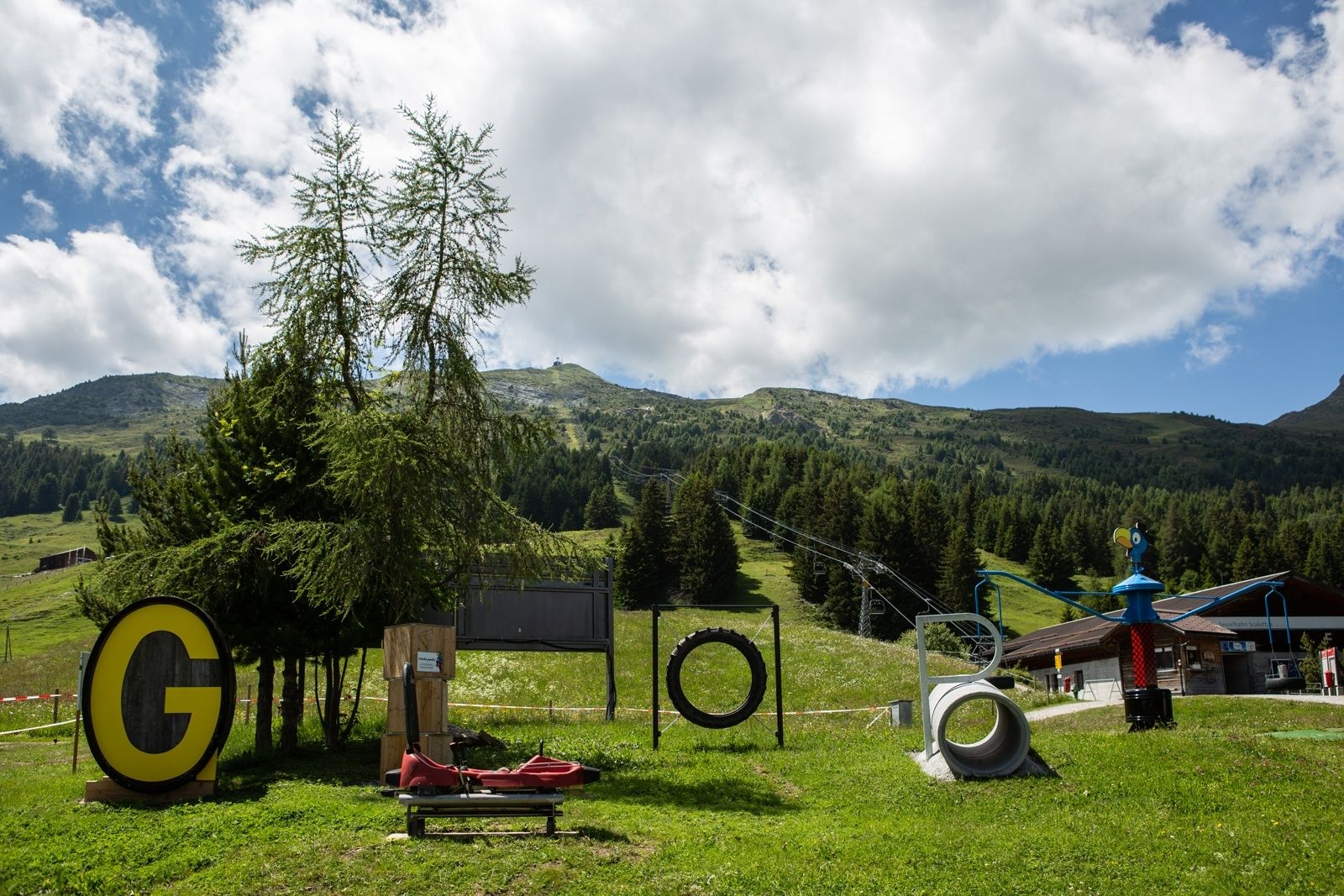
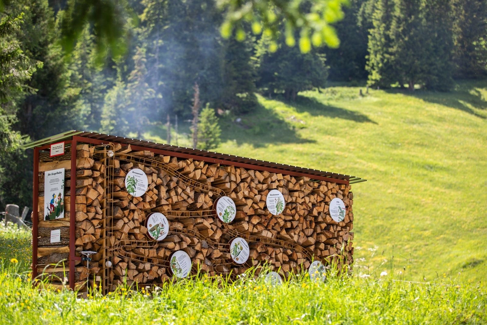
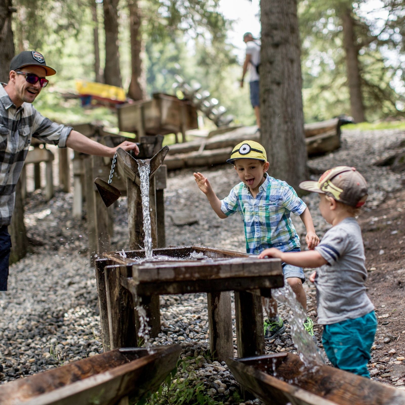
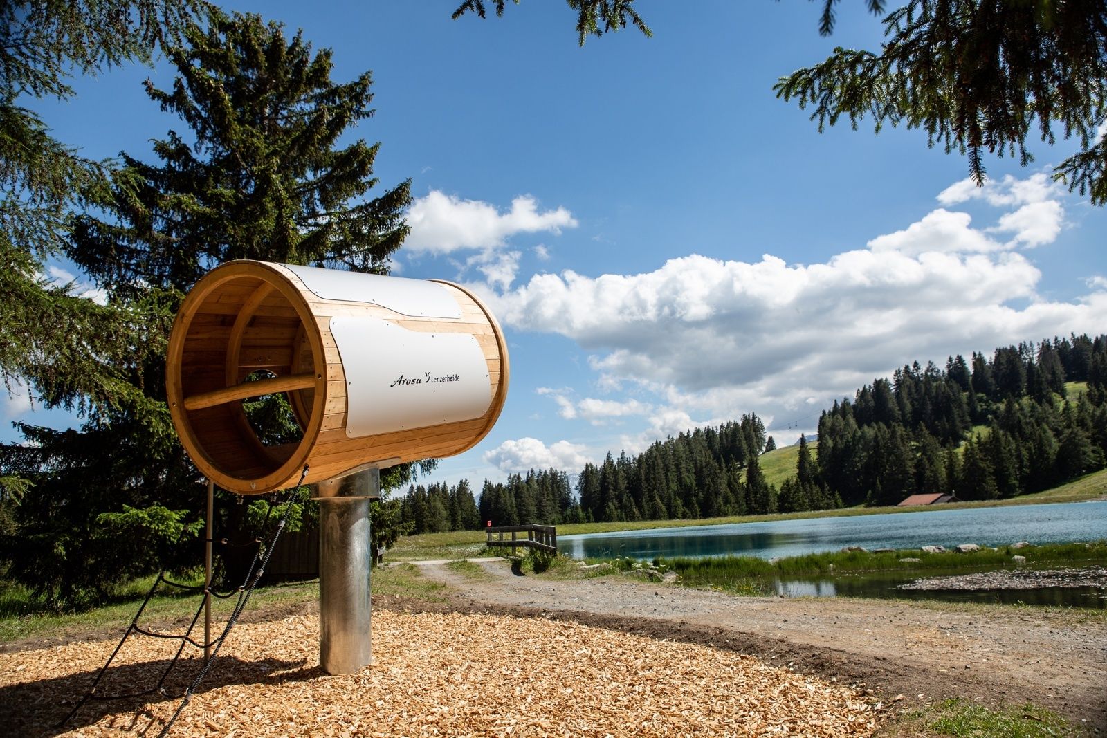
Just in time for its 20-year aniversary the Globi Hikingtrail in Lenzerheide got a complete revision. 13 installations are waiting to be discovered. Exciting adventures are guarenteed. The route was slightly adjusted, so that the distances between the installations are shorter making sure it always stays interesting for the kids. The starting point is by the valley station Val Sporz. From there a short ride with the chairlift to the middle station Tgantieni awaits.
- Difficulty
-
medium
- Rating
-
- Starting point
-
Valley station Val Sporz, Lenzerheide
- Route
-
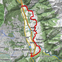
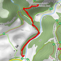
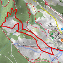
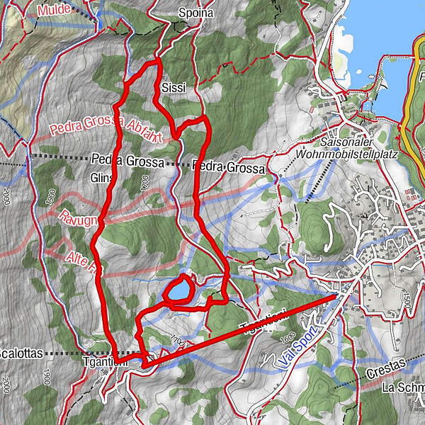
Restaurant Acla Grischuna1.2 kmTgantieni (1,751 m)1.3 kmTgantieni (1,790 m)1.5 kmGlins2.6 kmRestaurant Acla Grischuna7.1 km
- Best season
-
JanFebMarAprMayJunJulAugSepOctNovDec
- Description
-
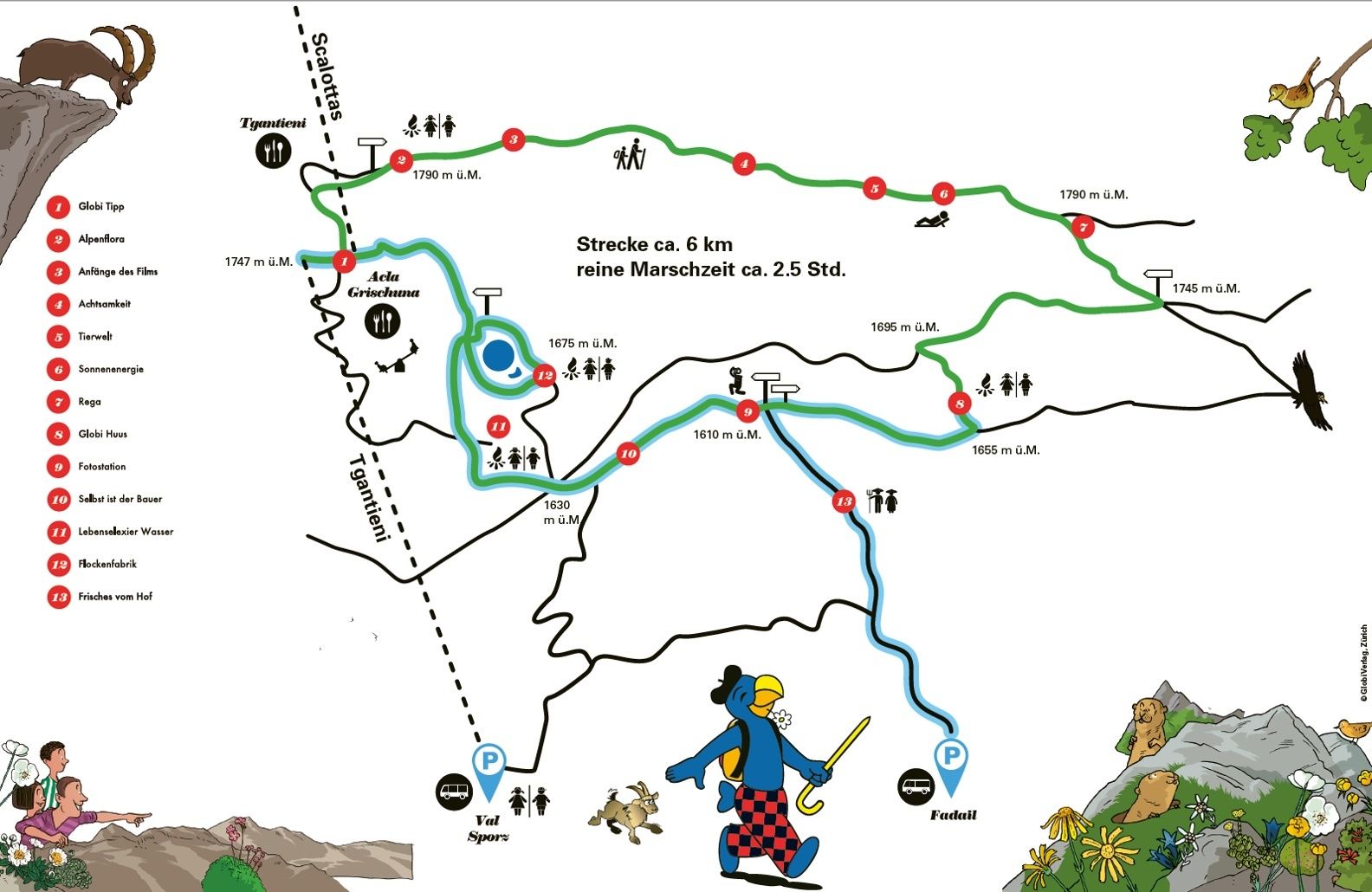
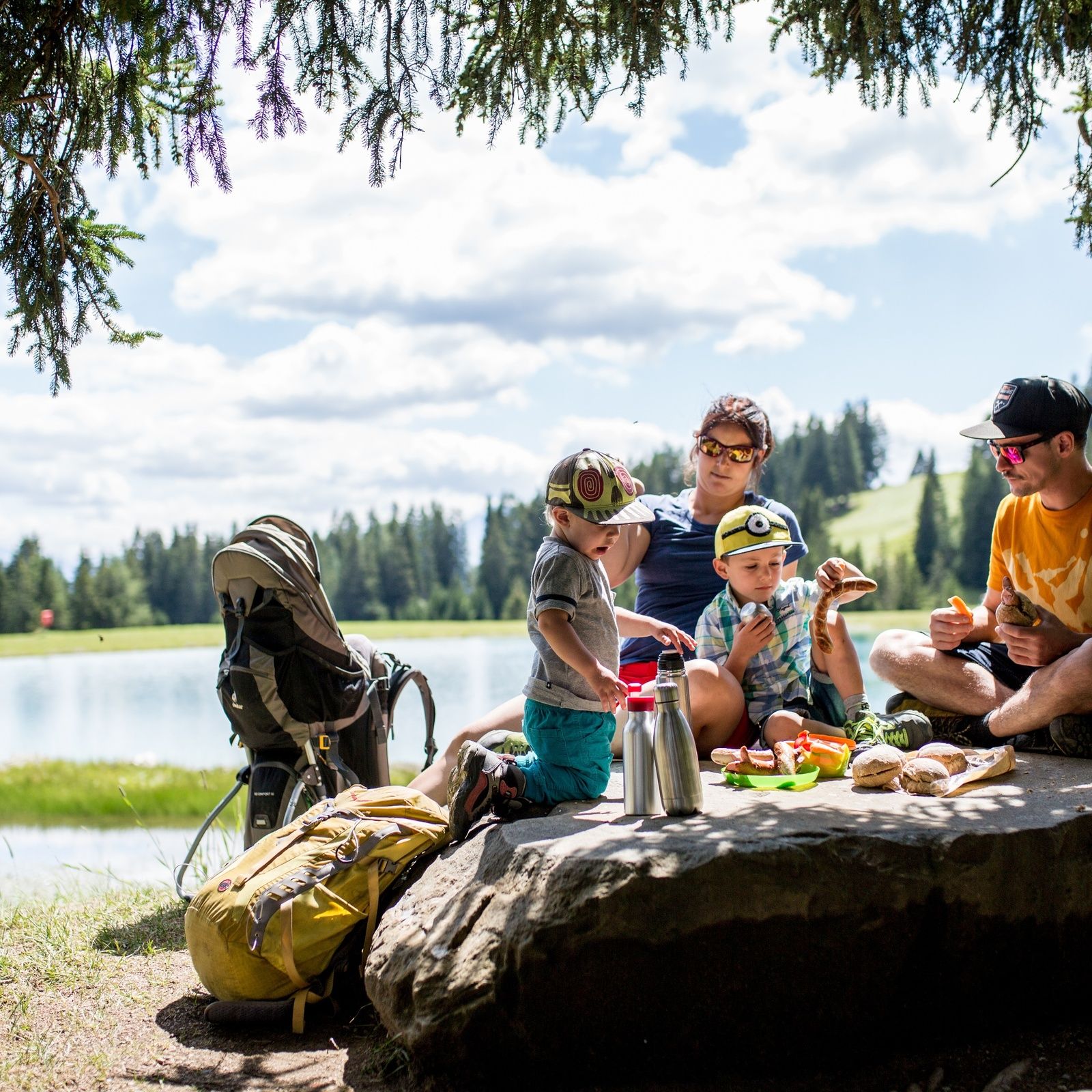
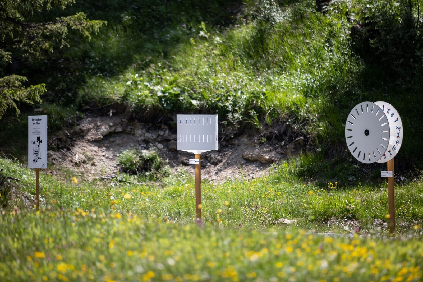
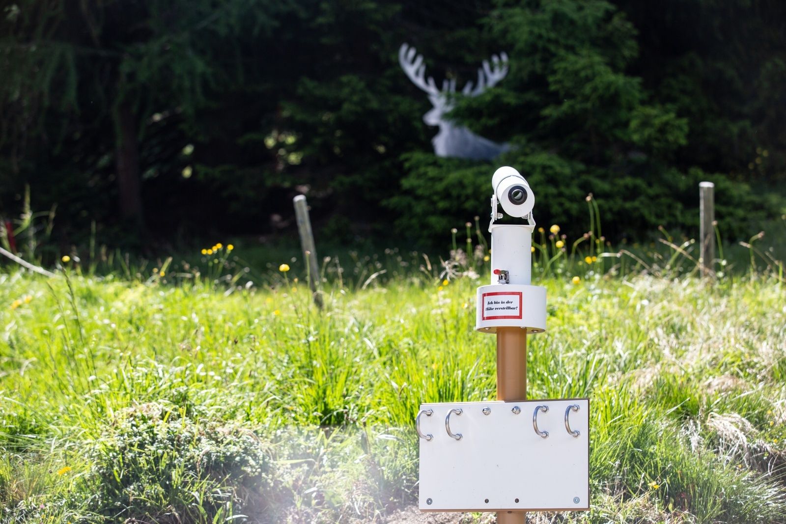
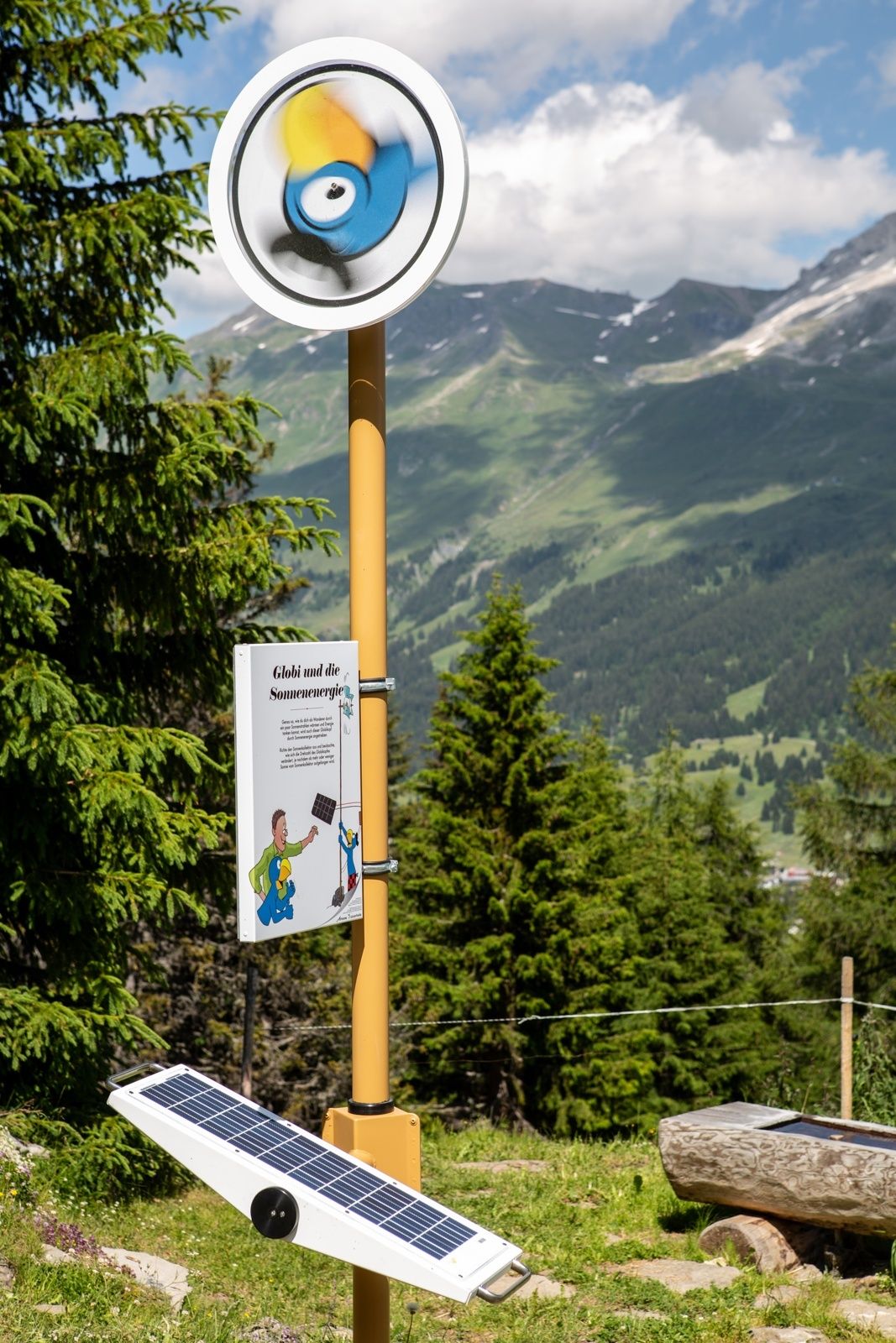
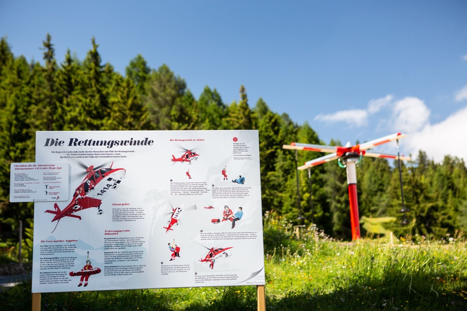
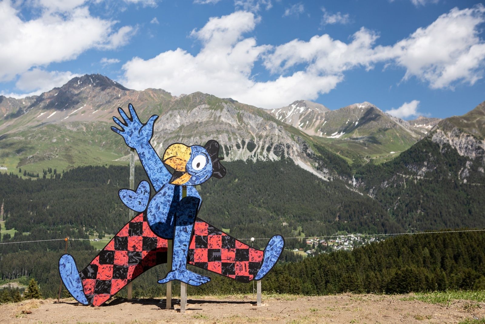
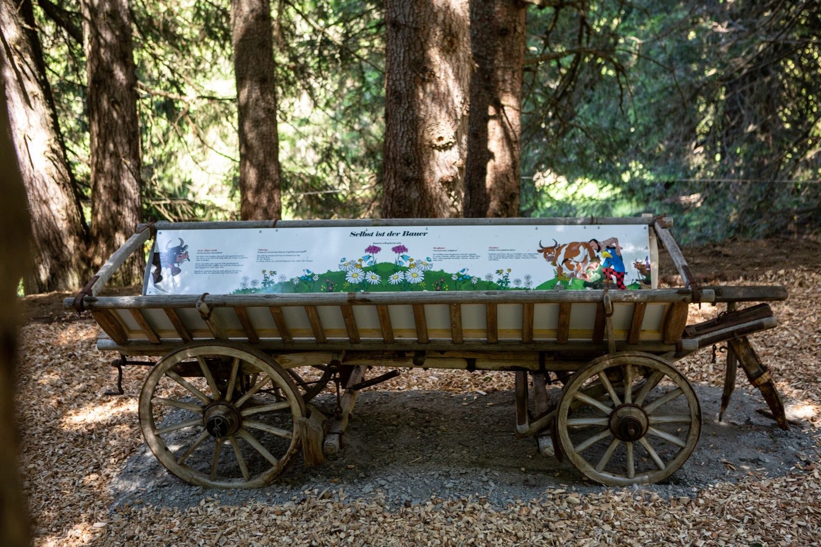
By the 13 installations along the only Globi hiking trail in Switzerland, Globi explains interesting topics as nature and technology in a fun way. A lot of fun and exciting adventures are guaranteed. On the way you can visit the Globi house and leave Globi a message.
- Directions
-
The easiest way to get to the start of the Globi trail is with the chairlift Tgatieni. By the valley station you can find parking spaces and a Sportbus stop. Upon arriving in Tgantieni by chairlift, follow the white "Globi Wanderweg" signs. As it is a roundroute, the end of the trail is also in Tgantieni.
If you decide to walk the trail in two days (or stages), wie recommend the following routes:
Stage 1: Ride with the chairlift Tgantieni, follow the "Globi Wanderweg" signs as mounted to the Farm (13). From there an easy trail will lead you back to Val Sporz.
Stage 2: Ride with the chairlift Tgantieni, follow the "Globi Wanderweg" signs in opposite direction (the trail leading down to the artificial lake "Valos"). After the photo-installation (9), follow the same trail as in stage 1 back to Val Sporz. This stage can be accomplished with an offroad stroller.
- Highest point
- 1,793 m
- Endpoint
-
Valley station Val Sporz, Lenzerheide
- Height profile
-
 © outdooractive.com
 - Equipment
-
Although parts of the trail can be accomplished with an offroad stroller, we recommend child carrier backpacks.
- Tips
-
It's best to plan a full day for the trail, but it can also be done in two days.
- Additional information
- Directions
-
From Basel and Zurich - Chur-Sued (exit no. 17) - Lenzerheide.
From Milano - Lugano - San Bernadino tunnel - Thusis - Chur (exit Lenzerheide) - Lenzerheide. - Public transportation
-
Arriving by train to Chur, you will be transferred directly to the buses of PostautoGraubuenden (182) and reach Lenzerheide within 30 minutes.
In Lenzerheide, the free sports bus is available during summer (please take note of the current timetable).
- Parking
-
Parking spaces at the valley station Val Sporz

- Author
-
The tour Globi Wanderweg is used by outdooractive.com provided.


General info
-
Glarnerland
1973
-
Arosa Lenzerheide
819
-
Pradaschier / Churwalden
225