


- Brief description
-
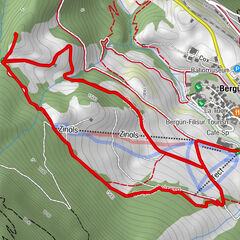
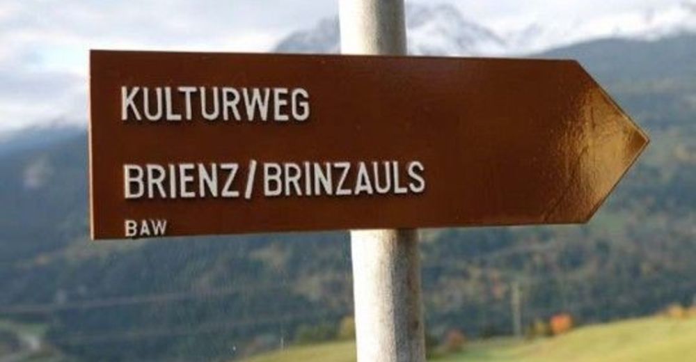
The cultural trail Voia Culturala runs along marked hiking trails, partly over rough and smooth. Therefore, we recommend you good footwear.
- Route
-
Vazerol0.0 kmRezgia Vigia1.2 kmSurava (904 m)3.7 kmBrienz (1,144 m)5.1 km
- Best season
-
JanFebMarAprMayJunJulAugSepOctNovDec
- Description
-
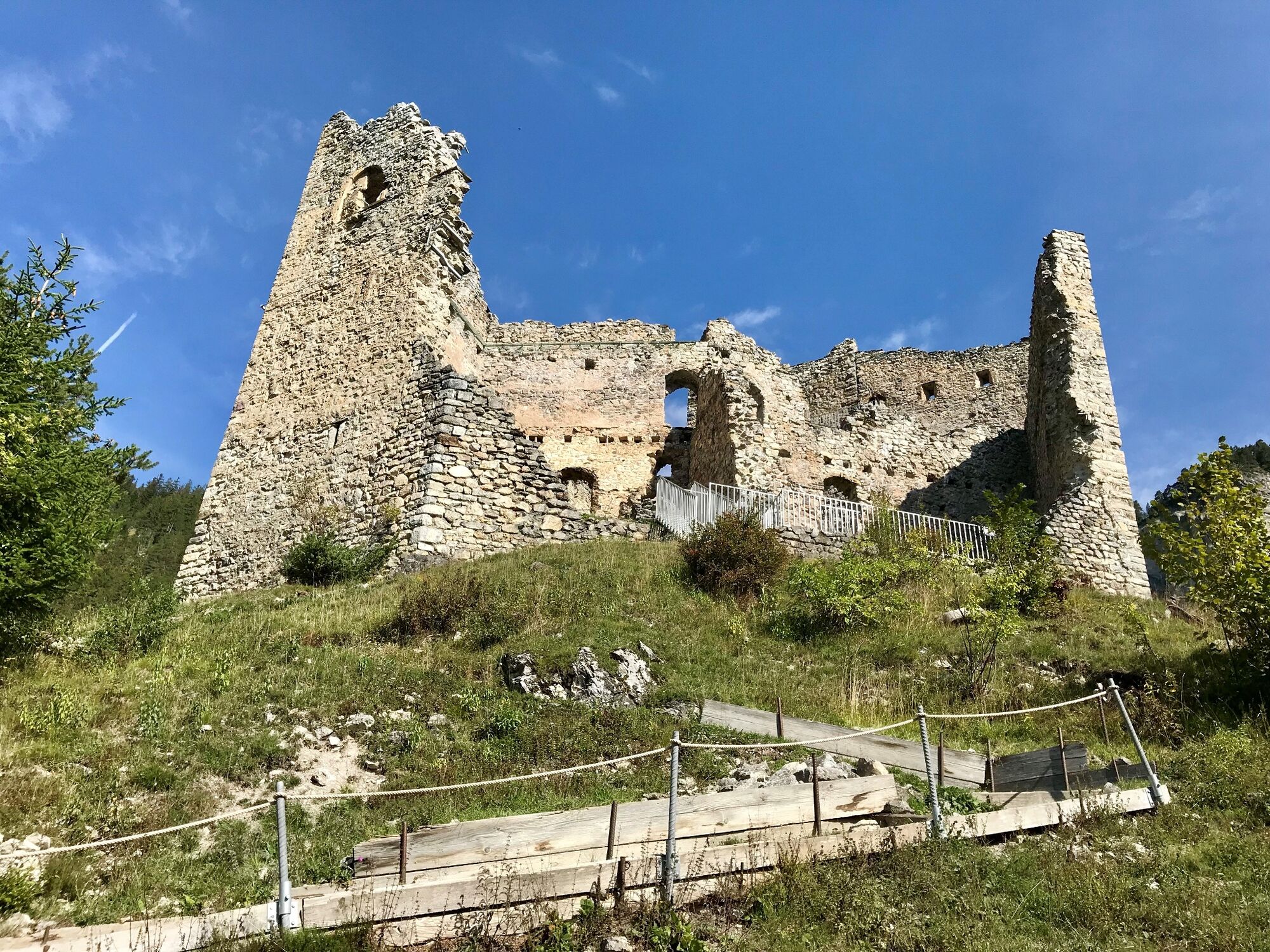
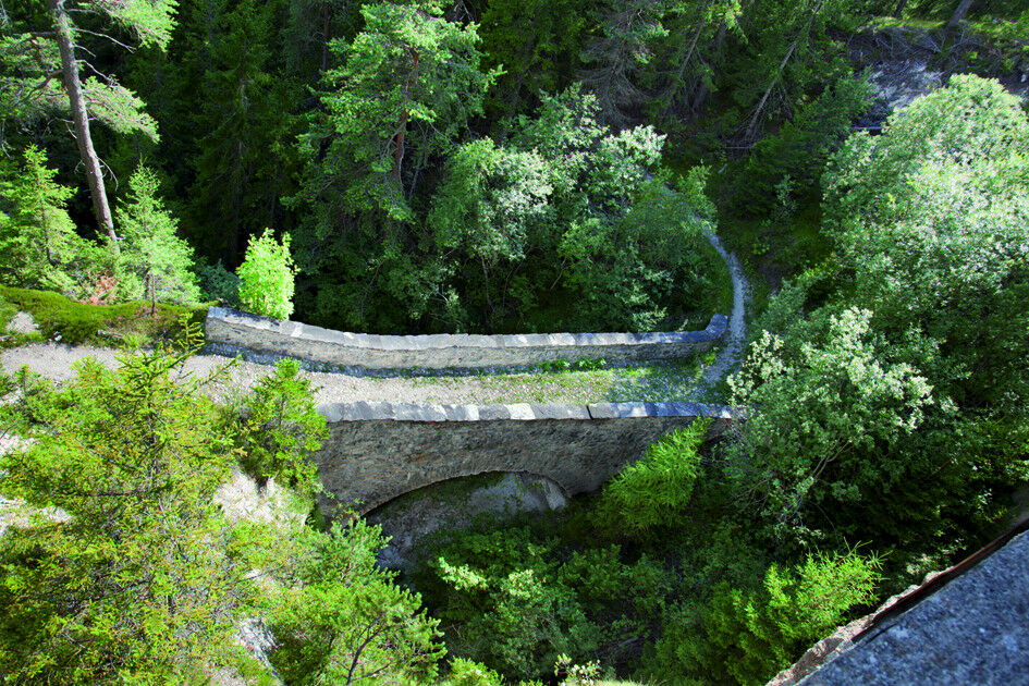
The first stop of the cultural trail is the «Buendner Ruetli» near Vazerol. The mountain village is situated not only near the geographic center of Grisons, but was once regarded as an important hub for transporting goods and passengers to and from the south. Here, too, the peasant councils should have come together in the 15th and 16th centuries to discuss alternatives to the peasant wars. One of the most important historical treasures is in the parish church of St. Calixtus, the second stage of the «Voia Culturala». It is the masterly carved, late-Gothic wing altar. It is regarded as the most important altar of Grisons. The third stop on the cultural trail is dedicated to the castle ruins of Belfort. The dreamy site was a focal point of political, legal and economic organizations in the country from the 13th to the 14th century. Its walls were full of pulsating life. In front of the castle gate, one of the most important connecting streets passed. More than 500 years ago, Belfort Castle was stormed and burnt down in the run-up to the Battle of Calven (1499). In recent years, the castle ruins have been restored, secured and made accessible. The fourth and last information point is at the "Paunt dalla Dieschma". Via this, the trade route leaded until the road network renewed around 1830. The arch construction of mortar stone is partly original and also the boll stone paving is still recognizable.
You'll find further information on the cultural objects here.
- Highest point
- 1,158 m
- Endpoint
-
Brienz/Brinzauls
- Height profile
-
 © outdooractive.com
 - Public transportation
-
Please use public transport (Rhaetian Railway and PostAuto Graubuenden) as there is only a limited number of parking spaces available .


- Author
-
The tour Kulturweg Voia Culturala Brienz/Brinzauls - Vazerol is used by outdooractive.com provided.


General info
-
Val Surses
824
-
Suraua / Lumnezia
172