- Brief description
-
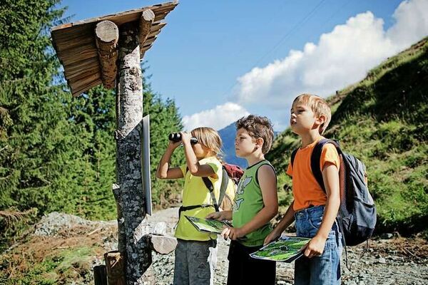
Discover the mountains by playing with the three friends : the marmot 'Pfifer', the chamois 'Granita' and the butterfly 'Malva' and solve the secret about Granita. Have fun !
- Difficulty
-
easy
- Rating
-
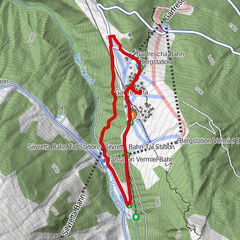
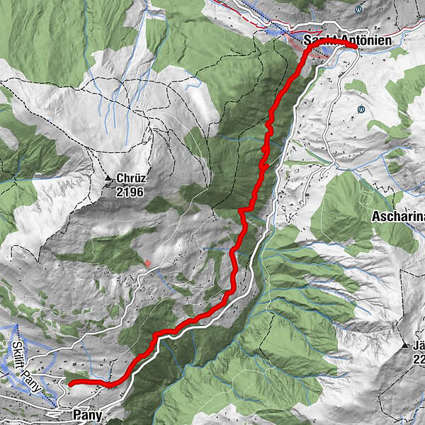
- Starting point
-
Starting points are St. Antönien or Pany
- Route
-
MarschallHotel-Restaurant Madrisajoch0.0 kmPlatz (1,420 m)0.1 kmHotel Restaurant Rhätia0.1 kmReformierte Kirche St. Antönien0.1 kmSankt Antönien (1,459 m)0.1 kmPany (1,250 m)6.8 km
- Best season
-
JanFebMarAprMayJunJulAugSepOctNovDec
- Description
-
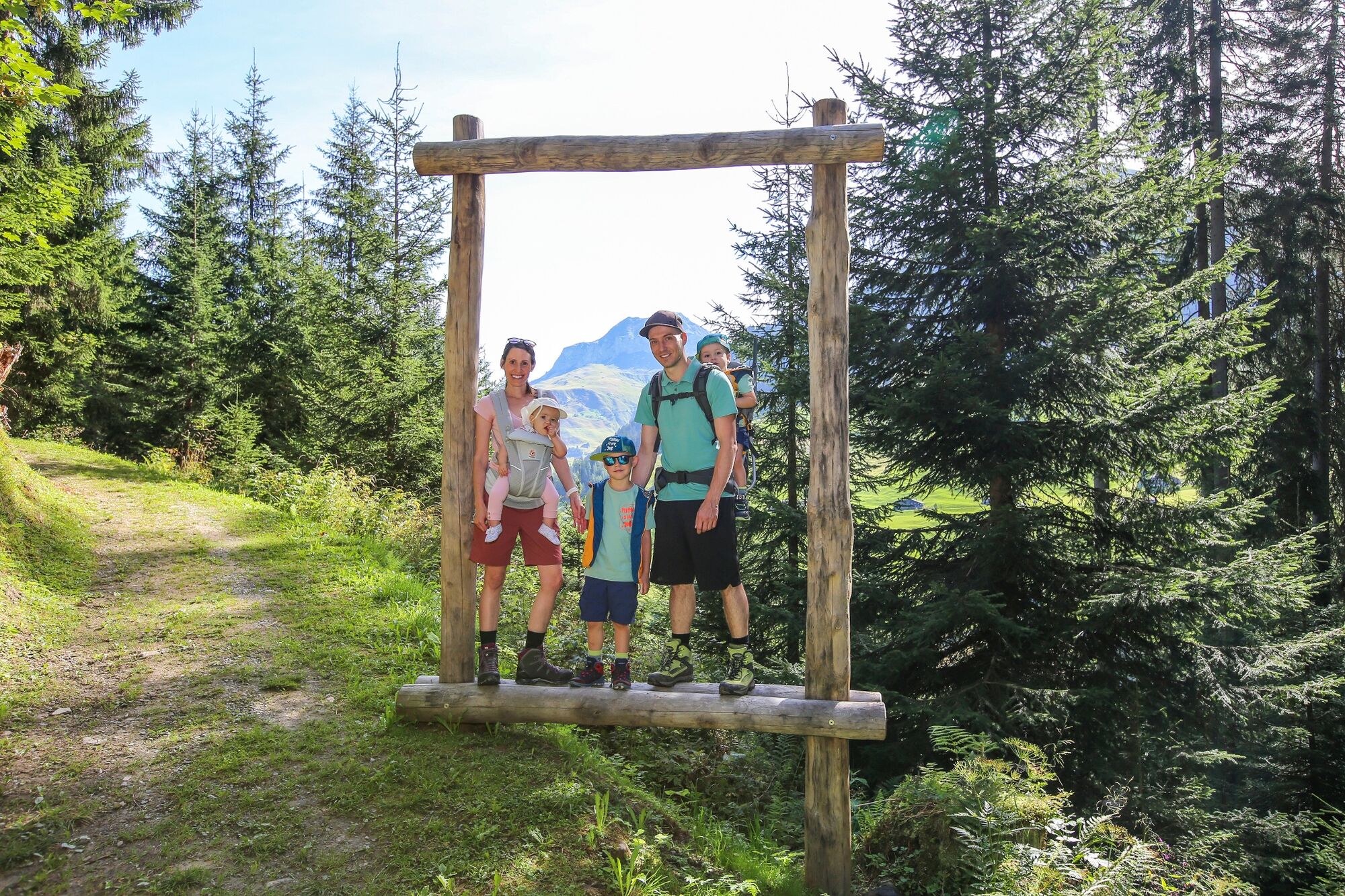
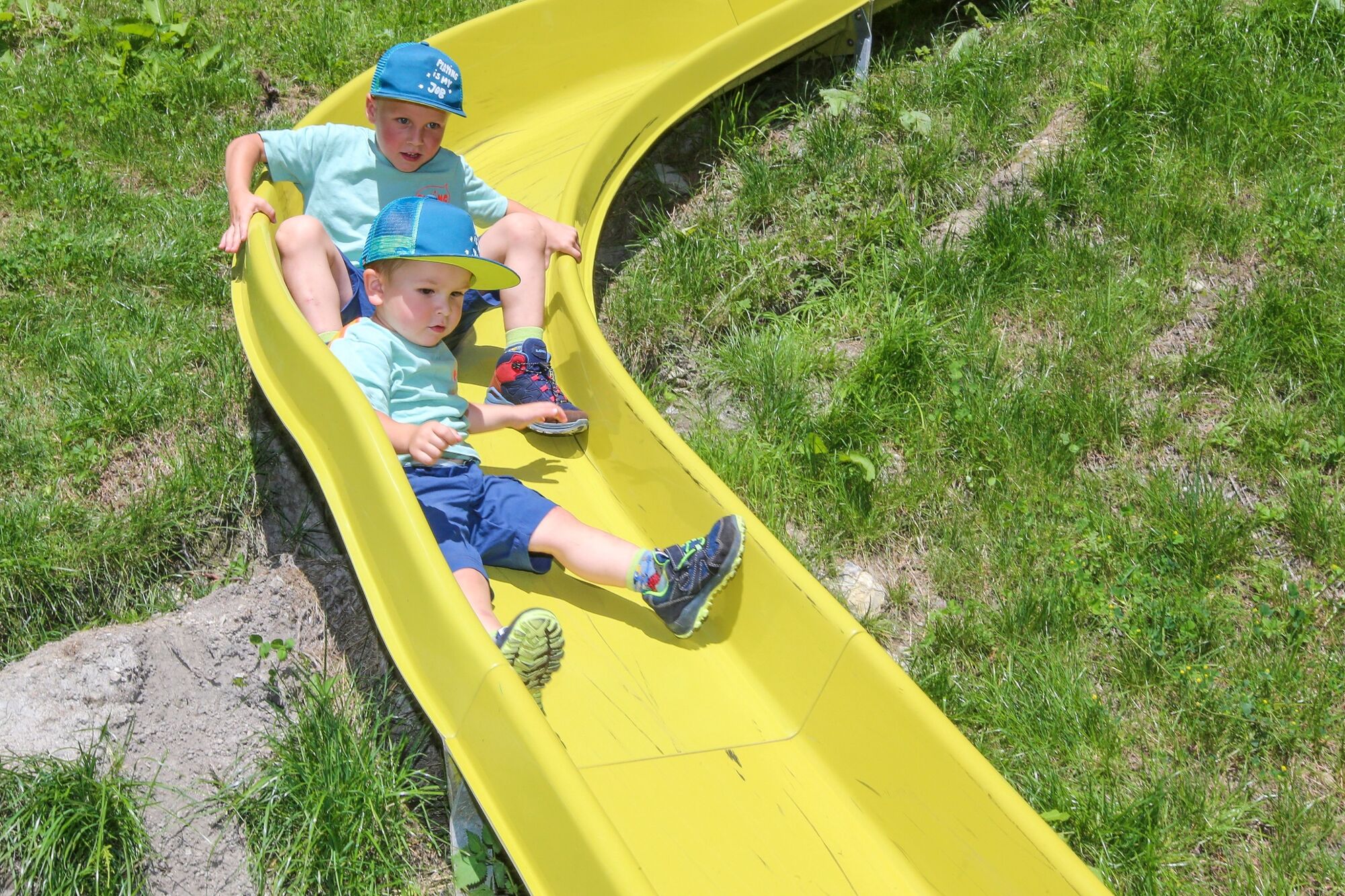
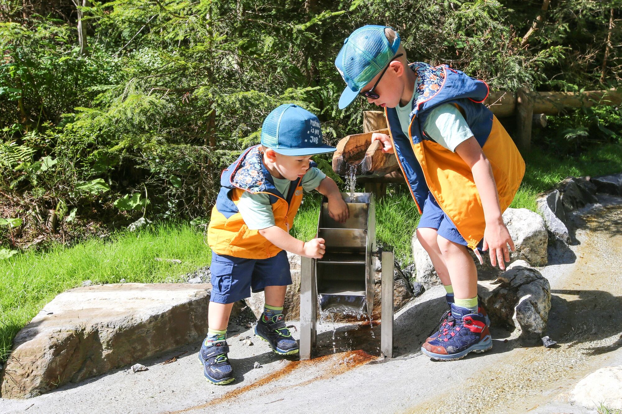
At every starting point you will find a 'welcome board' which makes you familiar with the rules of the game. Along the varied paths which are also suitable for prams, you will find the five posts for the game. Within the environs of each post one big figure of wood and/or stone is hidden and a story about 'Pfifner', 'Granita' and 'Malva' tells you what figure you can look for and descover.
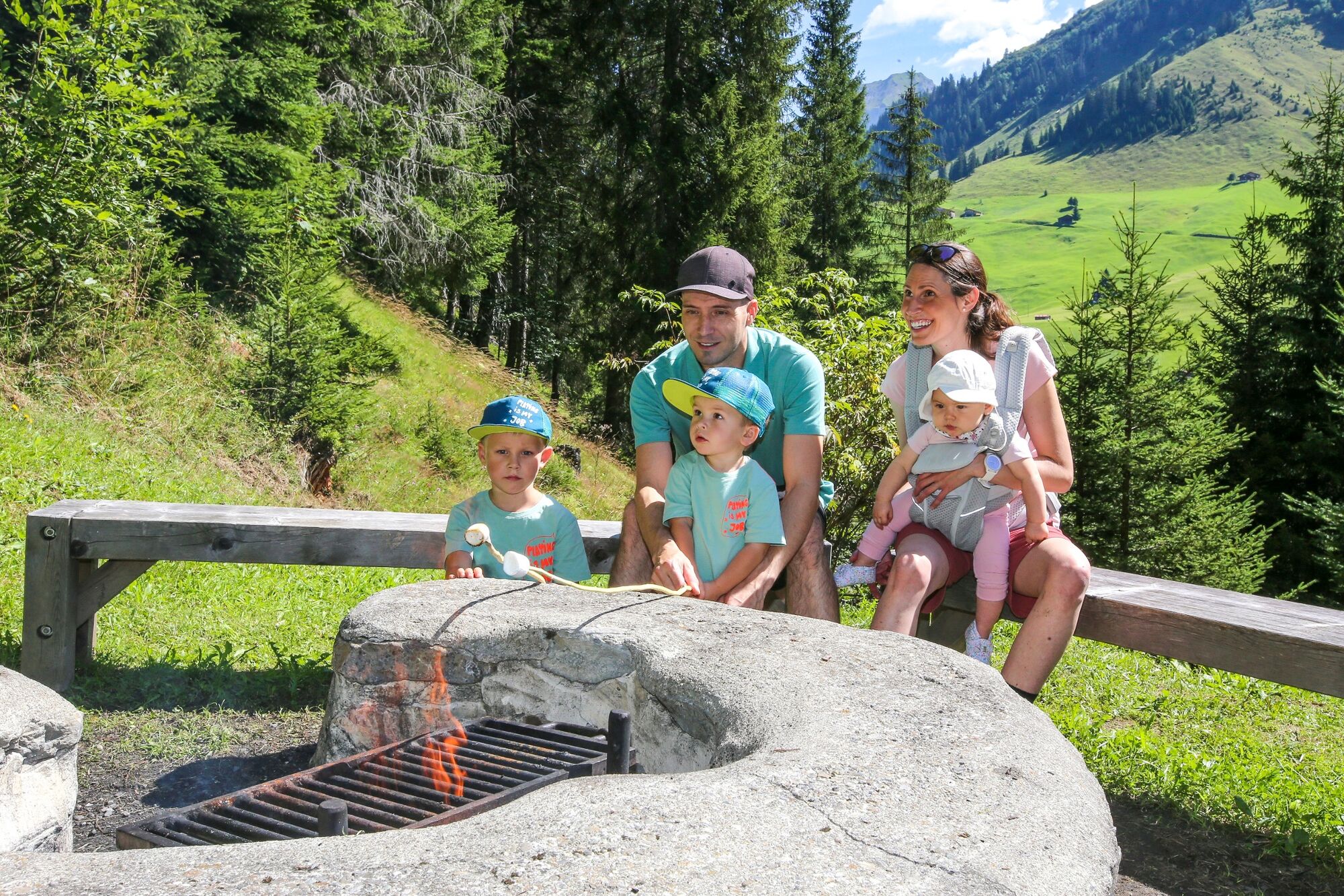
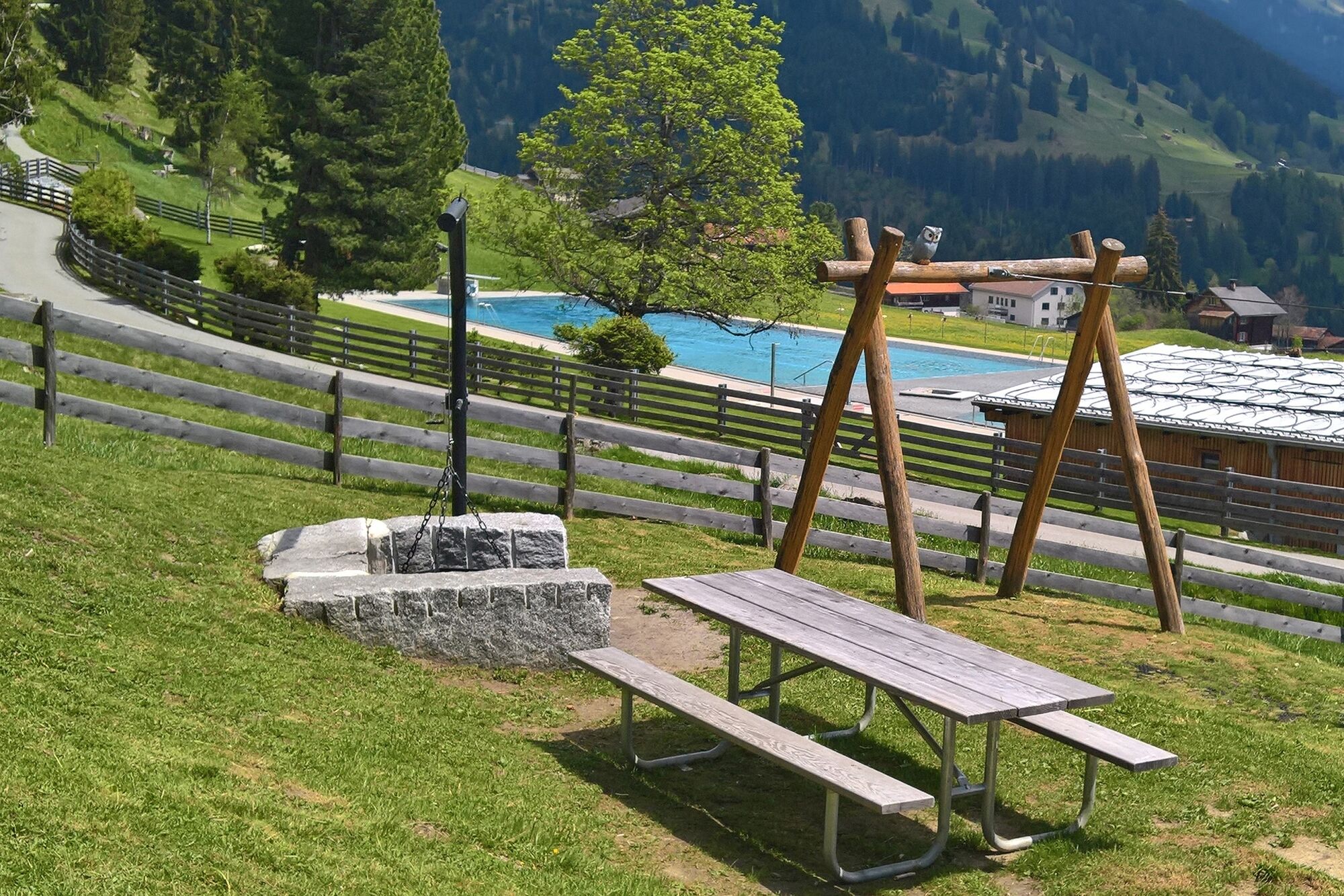
Along the path there is a big campfire site 'Schweizer-Familie' with is plenty of wood available.
- It is not important from where you start this hike.
- First read the story when you get to the post and then look for the described figure by walking back and forth along the section between the two white marks.
-Only after having found the correct spot/place and angel of vision, the figure of wood/stone becomes a unity.
- In case you cannot find the figure, the three flaps (tips 1 - 3) on the board of the post help you step by step.
- Highest point
- 1,479 m
- Endpoint
-
Destinations are Pany or St. Antönien
- Height profile
-
 © outdooractive.com
 - Tips
-
Rund about the natural spectacle Re-Ra-Rätikon there are special offers that can be booked and from which you get surplus value. Do not hesitate to contact www.praettigau.info .
- Directions
-
Access road A 13 to Landquart and B 28 to Küblis. Turn left and follow the road to Luzein , Pany or St. Antönien.
- Public transportation
-
By train RhB to Schiers or Küblis (timetable-entry 910) and by post-office van to Pany or St. Antönien (timetable-entries 90.214 or 90.222)
- Parking
-
Pany: There are car parks free of charge at the bottom end of the ski-lift.
St. Antönien: There are car parks liable to cost in the centre of the village above the church. The tour starts next to the bus-stop.
-

-
AuthorThe tour Re-Ra-Rätikon - the natural spectacle is used by outdooractive.com provided.


-
Prättigau
1249
-
Pany - Luzein
209