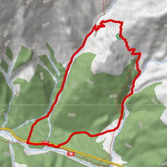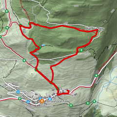
Tour data
15.45km
1,239
- 1,742m
81hm
520hm
04:22h
- Brief description
-
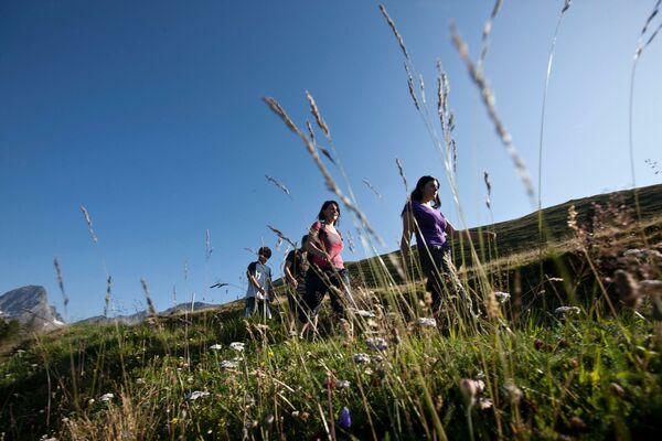
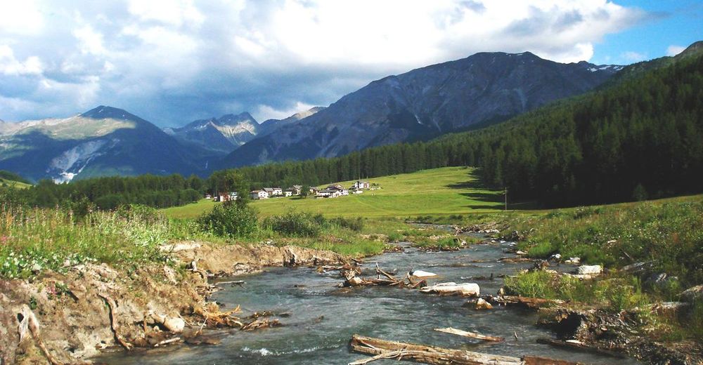
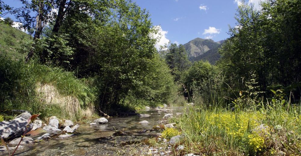
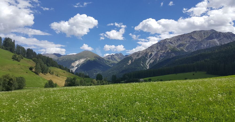
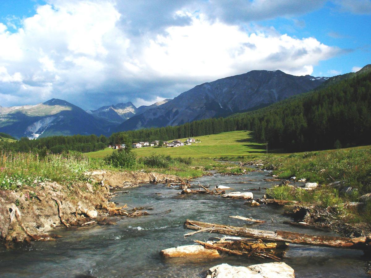
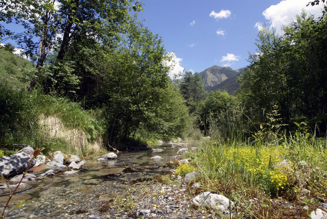
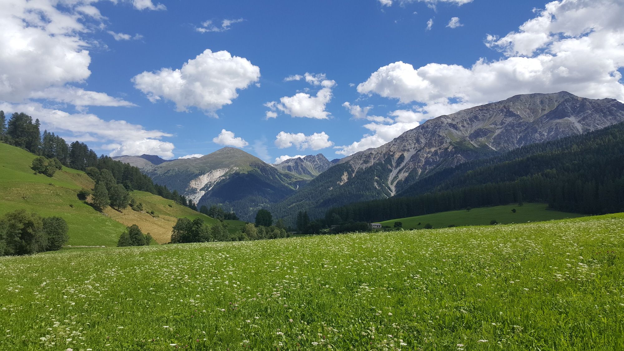
Abwechslungsreiche Wanderung am freifliessenden Haupttalfluss, an prächtigen und weitgehend unberührten Auen entlang des Rombach.
- Difficulty
-
easy
- Rating
-
- Starting point
-
PostAuto-Haltestelle Tschierv, Süsom Tschierv (1747 m)
- Route
-
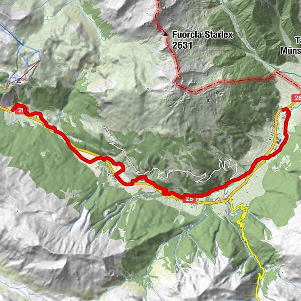
Cierfs (1,660 m)1.3 kmOrasom Tschierv2.7 kmFuldera (1,638 m)6.1 kmFurom6.9 kmMuglin9.5 kmValcava (1,440 m)9.9 kmSta. Maria Val Müstair (1,375 m)11.0 kmPlazzöl14.1 kmChavalatsch15.3 kmHeiligkreuzkapelle15.4 kmMüstair (1,273 m)15.4 km
- Best season
-
JanFebMarAprMayJunJulAugSepOctNovDec
- Highest point
- 1,742 m
- Endpoint
-
PostAuto-Haltestelle Müstair, cunfin
- Rest/Retreat
-
Einkehrmöglichkeiten in jedem Dorf
- Info phone
-
+41 81 861 88 40
- Link
- https://regio.outdooractive.com/oar-engadin-scu...
- Source
- Gäste-Information Val Müstair
GPS Downloads


Trail conditions
Asphalt
Gravel
Meadow
Forest
Rock
Exposed
Other tours in the regions
-
Vinschgau
1275
-
Biosfera Val Müstair
550
-
Fuldera
141